
반응형
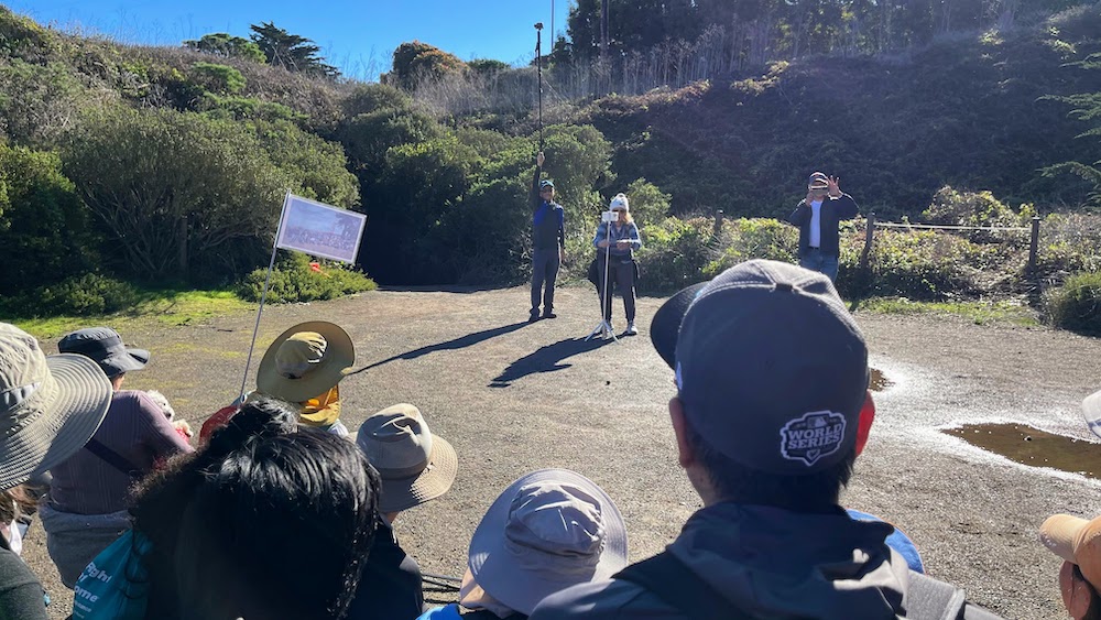
Presidio of San Francisco
.
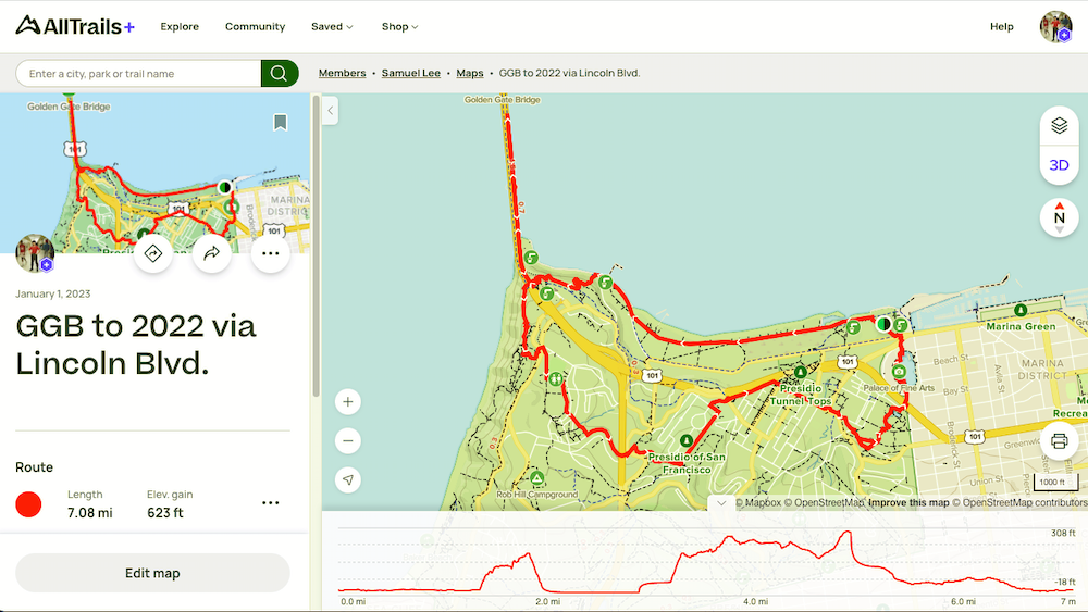
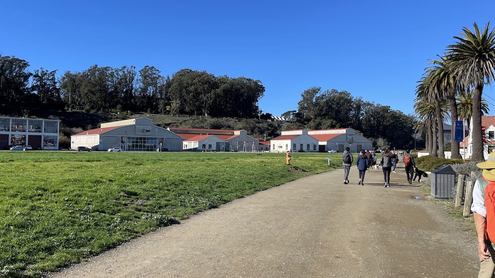
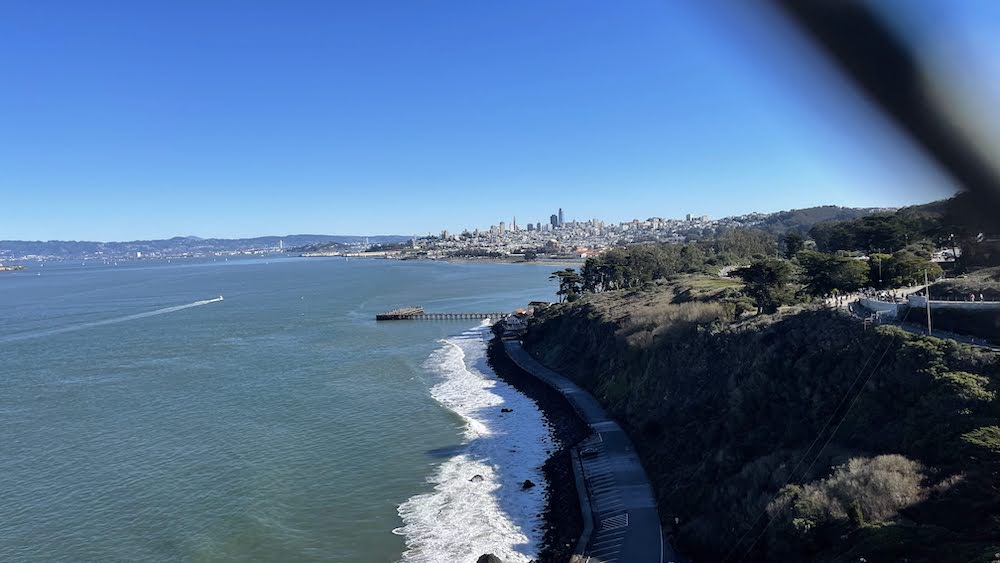
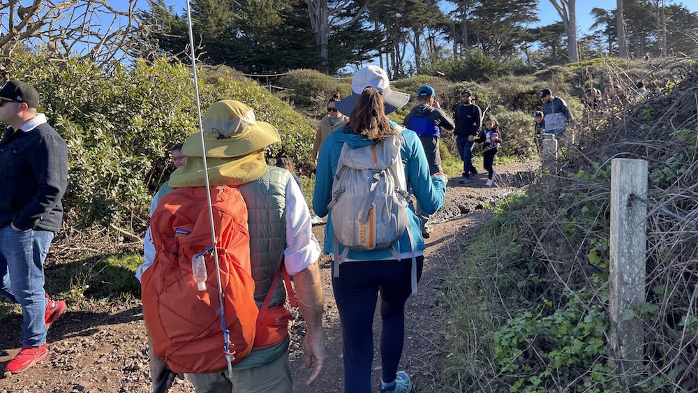
The Presidio of San Francisco (originally, El #Presidio Real de San Francisco or The Royal Fortress of Saint Francis) is a park and former U.S. Army post on the northern tip of the San Francisco Peninsula in San Francisco, California, and is part of the Golden Gate National Recreation Area. It had been a fortified location since September 17, 1776, when New Spain established the presidio to gain a foothold in Alta California and the San Francisco Bay. It passed to Mexico in 1820, which in turn passed it to the United States in 1848. As part of a 1989 military reduction program under the Base Realignment and Closure (BRAC) process, Congress voted to end the Presidio's status as an active military installation of the U.S. Army. On October 1, 1994, it was transferred to the National Park Service, ending 219 years of military use and beginning its next phase of mixed commercial and public use. In 1996, the United States Congress created the Presidio Trust to oversee and manage the interior 80% of the park's lands, with the National Park Service managing the coastal 20%. In a first-of-its-kind structure, Congress mandated that the Presidio Trust make the Presidio financially self-sufficient by 2013. The Presidio achieved the goal in 2005, eight years ahead of the scheduled deadline. The park has many wooded areas, hills, and scenic vistas overlooking the Golden Gate Bridge, San Francisco Bay, and the Pacific Ocean. It was recognized as a California Historical Landmark in 1933 and as a National Historic Landmark in 1962.
.
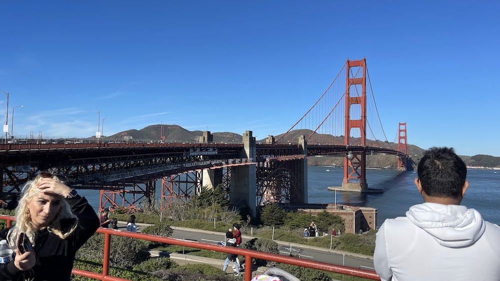
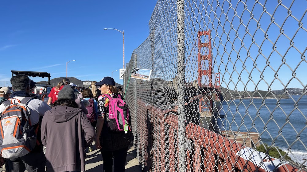
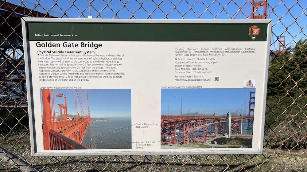
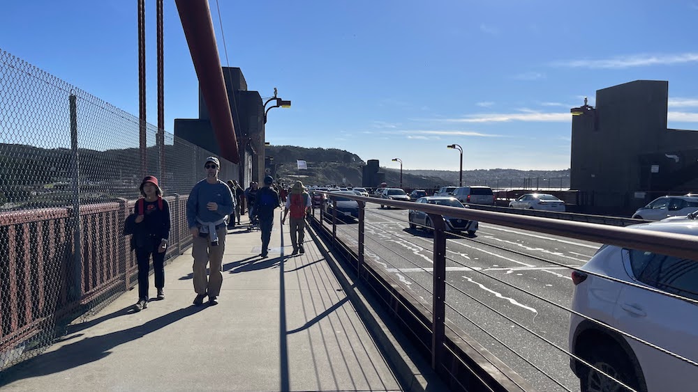
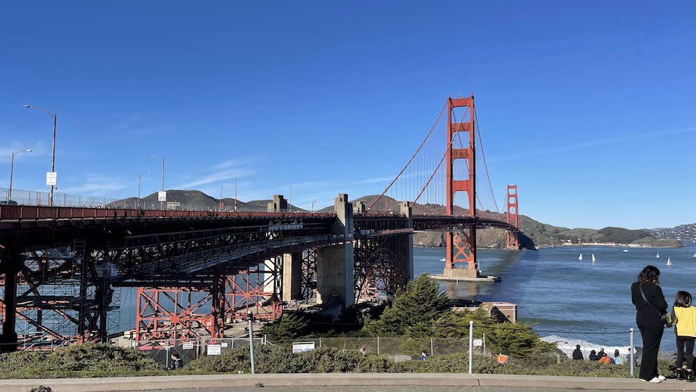
Golden Gate Bridge
.
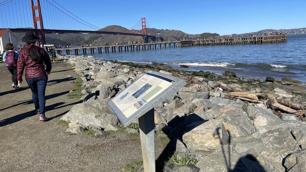
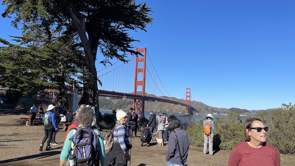
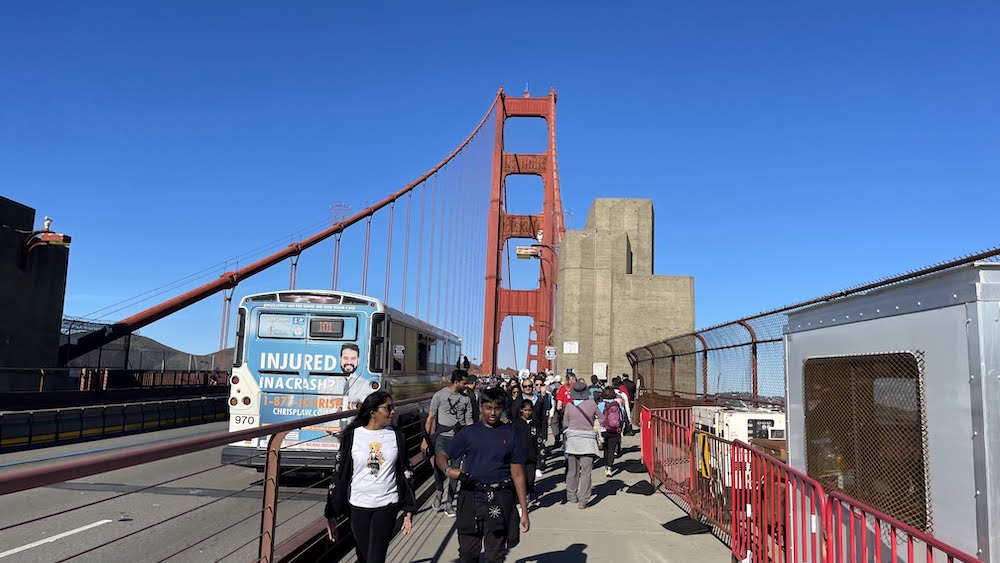
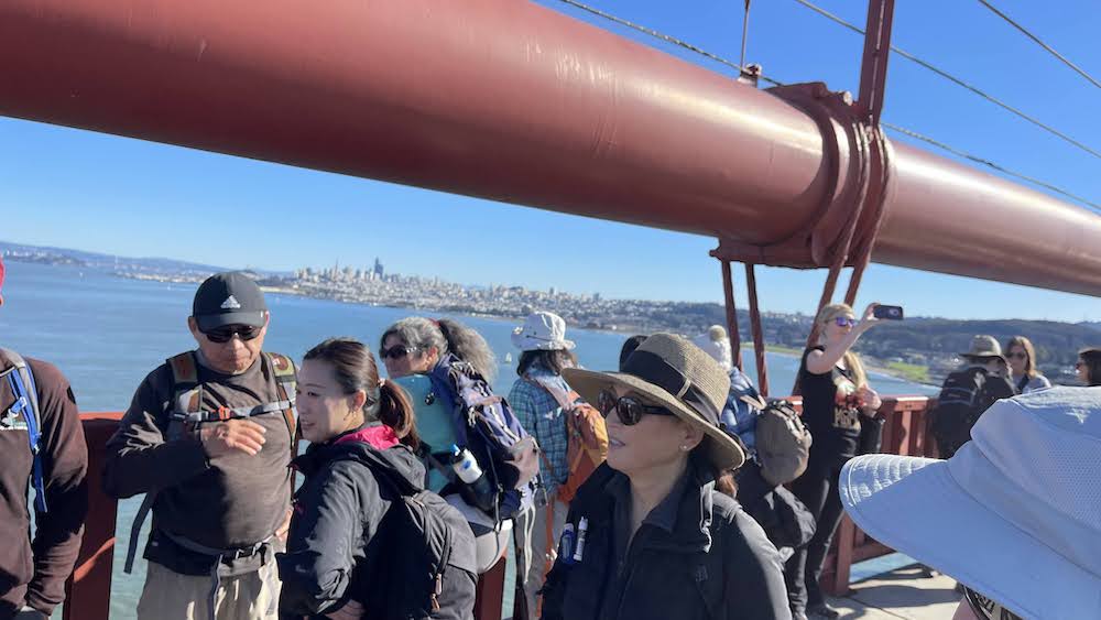
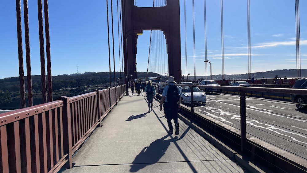
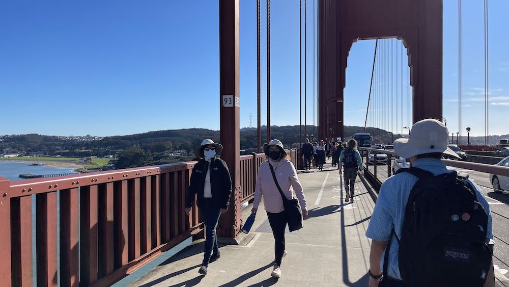
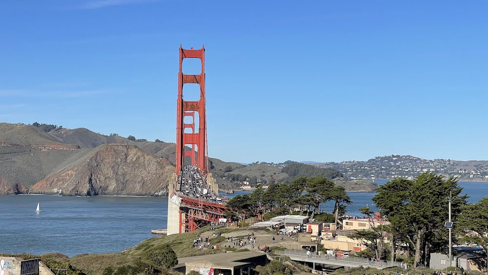
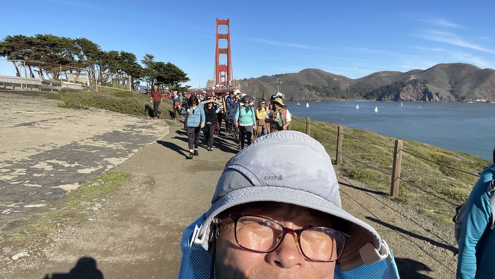
The #GoldenGateBridge is a suspension bridge spanning the Golden Gate, the one-mile-wide (1.6 km) strait connecting San Francisco Bay and the Pacific Ocean. The structure links the U.S. city of San Francisco, California—the northern tip of the San Francisco Peninsula—to Marin County, carrying both U.S. Route 101 and California State Route 1 across the strait. It also carries pedestrian and bicycle traffic, and is designated as part of U.S. Bicycle Route 95. Being declared one of the Wonders of the Modern World by the American Society of Civil Engineers, the bridge is one of the most internationally recognized symbols of San Francisco and California. It was initially designed by engineer Joseph Strauss in 1917. The bridge was named for the Golden Gate strait, the channel that it spans. The Frommer's travel guide describes the Golden Gate Bridge as "possibly the most beautiful, certainly the most photographed, bridge in the world." At the time of its opening in 1937, it was both the longest and the tallest suspension bridge in the world, with a main span of 4,200 feet (1,280 m) and a total height of 746 feet (227 m).
.
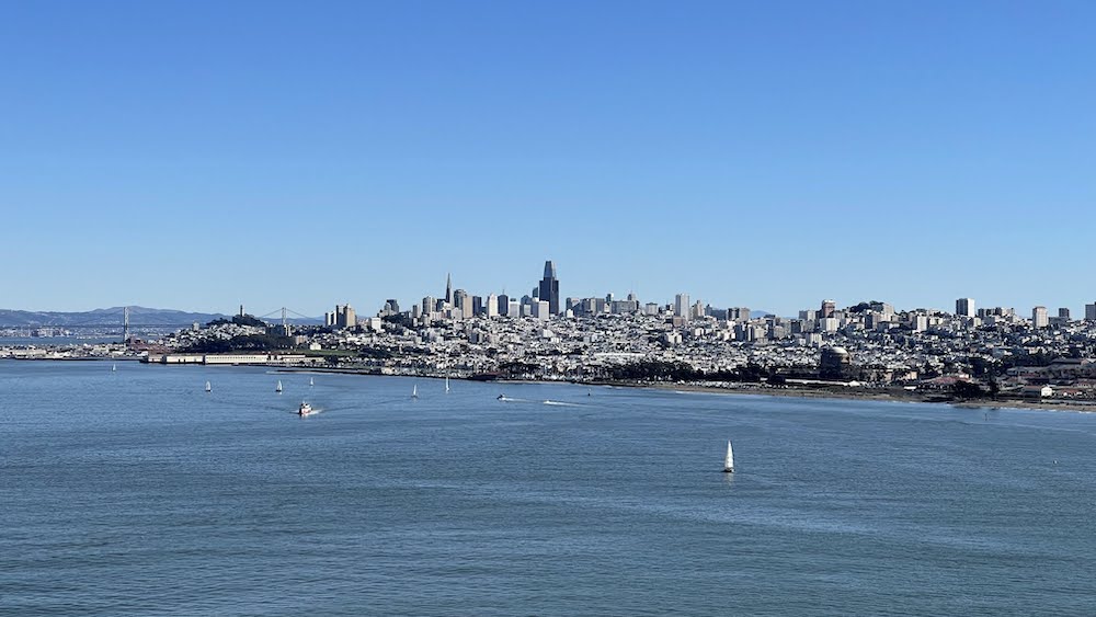
Before the bridge was built, the only practical short route between San Francisco and what is now Marin County was by boat across a section of San Francisco Bay. A ferry service began as early as 1820, with a regularly scheduled service beginning in the 1840s for the purpose of transporting water to San Francisco. The Sausalito Land and Ferry Company service, launched in 1867, eventually became the Golden Gate Ferry Company, a Southern Pacific Railroad subsidiary, the largest ferry operation in the world by the late 1920s. Once for railroad passengers and customers only, Southern Pacific's automobile ferries became very profitable and important to the regional economy. The ferry crossing between the Hyde Street Pier in San Francisco and Sausalito Ferry Terminal in Marin County took approximately 20 minutes and cost $1.00 per vehicle, a price later reduced to compete with the new bridge. The trip from the San Francisco Ferry Building took 27 minutes. Many wanted to build a bridge to connect #SanFrancisco to Marin County. San Francisco was the largest American city still served primarily by ferry boats. Because it did not have a permanent link with communities around the bay, the city's growth rate was below the national average. Many experts said that a bridge could not be built across the 6,700-foot (2,000-metre) strait, which had strong, swirling tides and currents, with water 372 ft (113 m) deep at the center of the channel, and frequent strong winds. Experts said that ferocious winds and blinding fogs would prevent construction and operation.
.
+++


반응형