
반응형
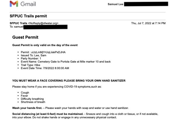
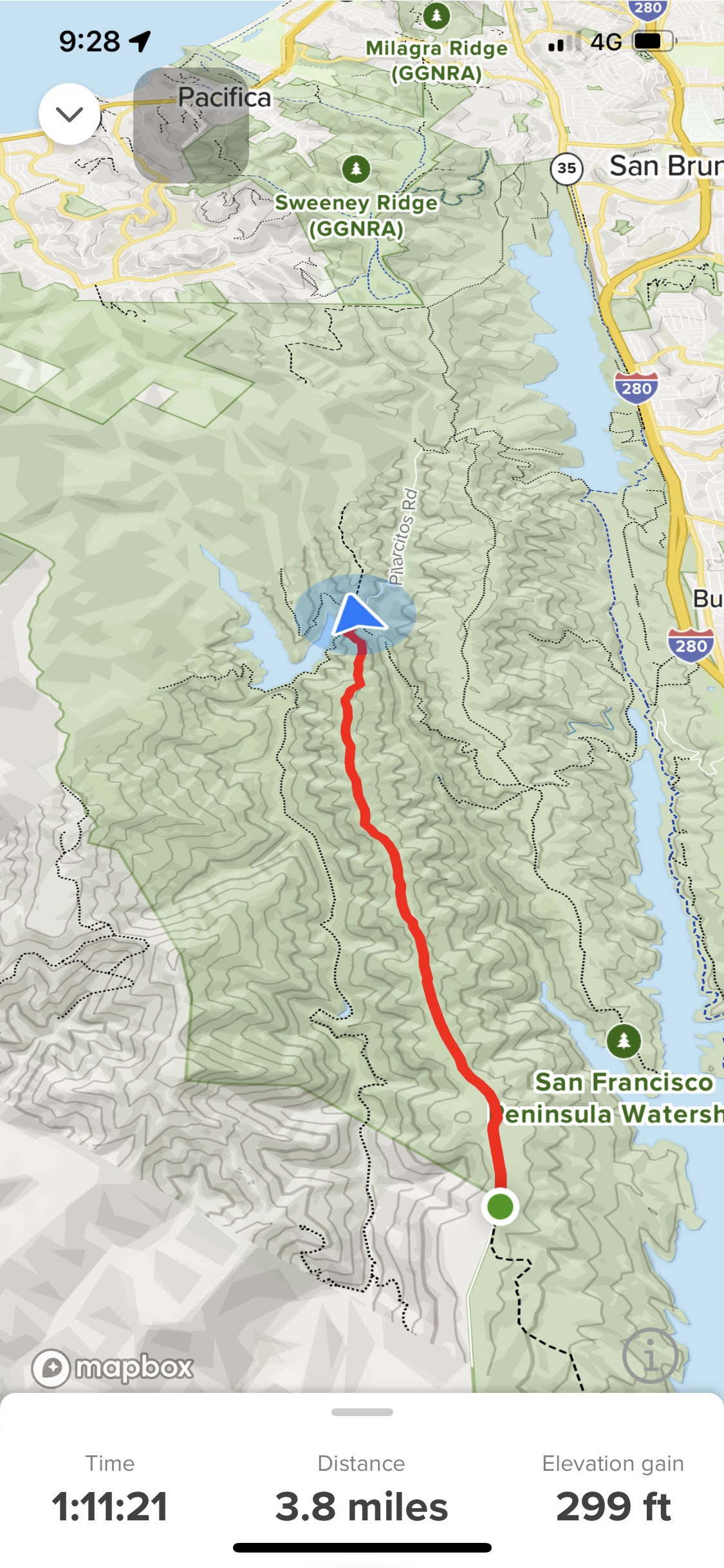
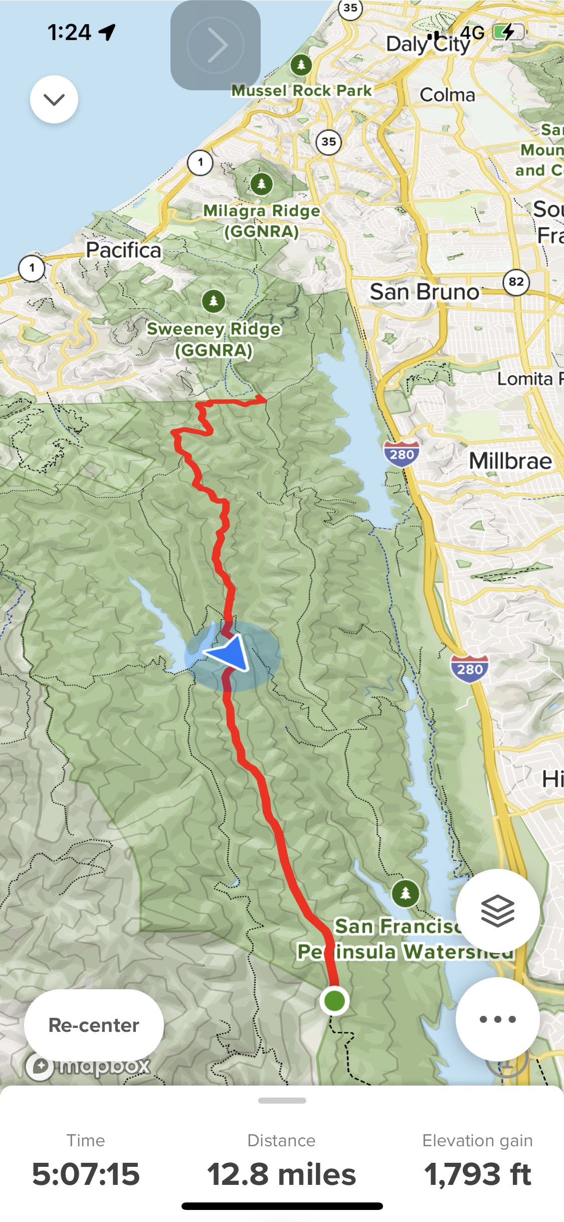
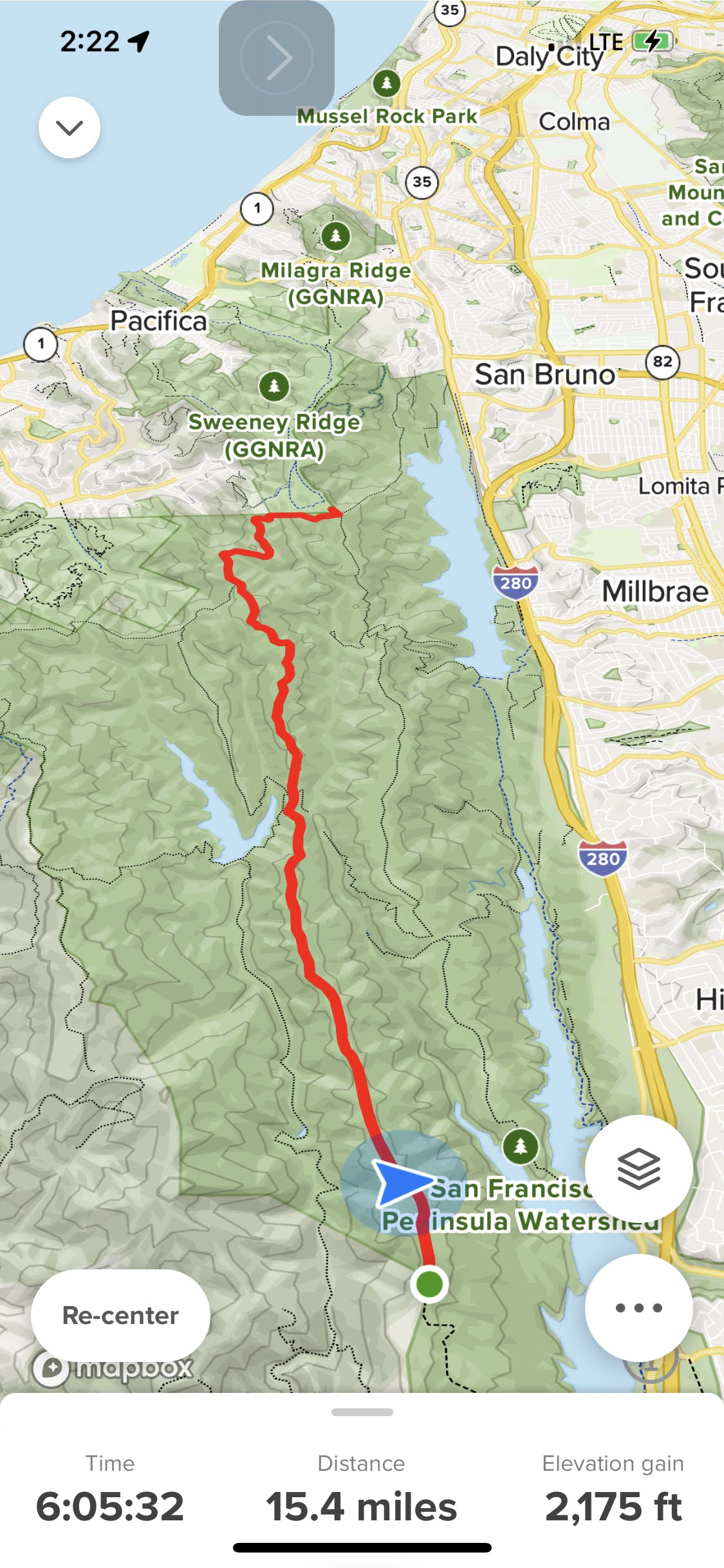
Cemetery Gate to Portola Gate at Mile marker 10 and back
.
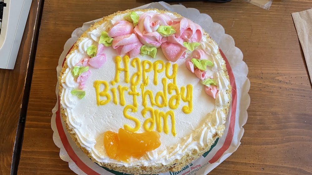
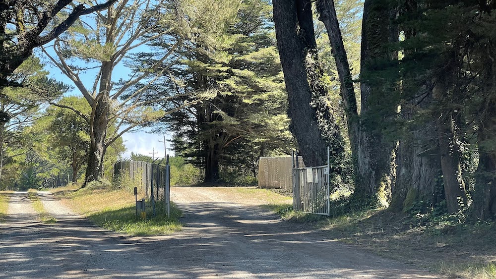
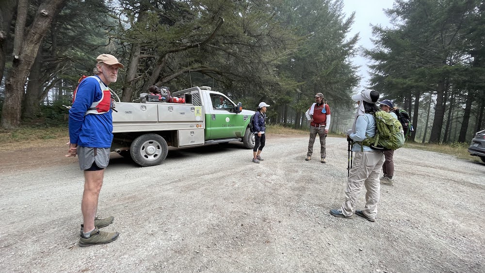
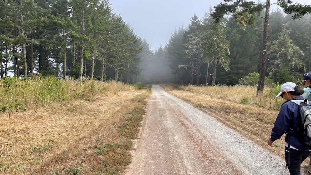
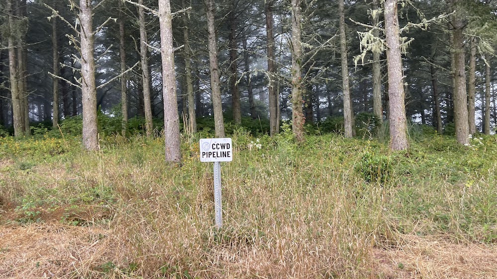
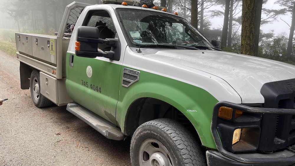
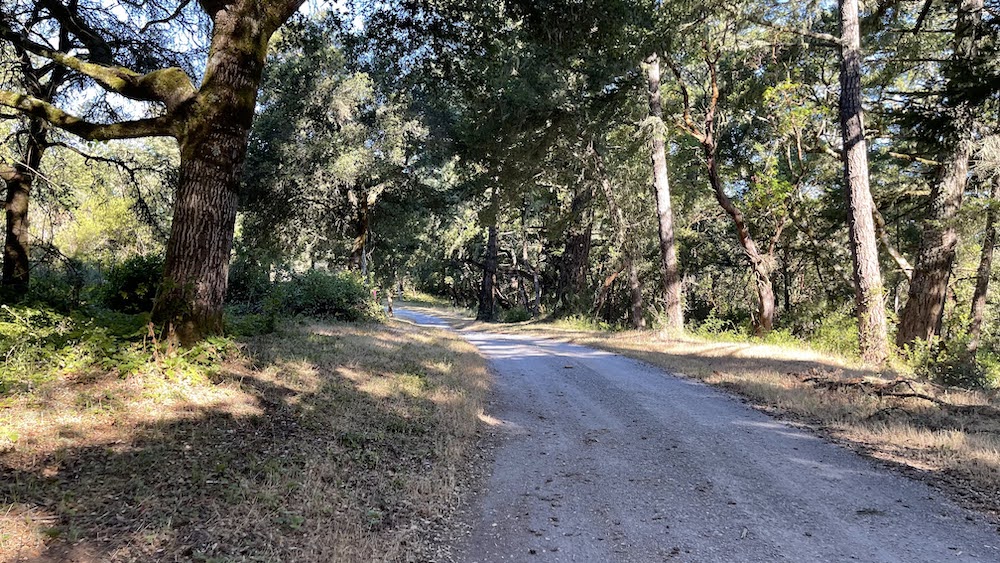
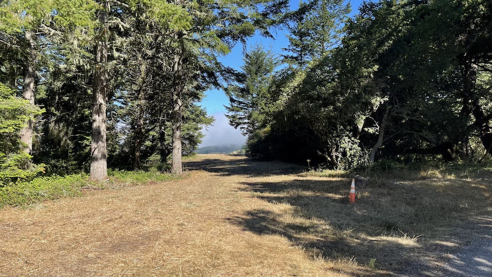
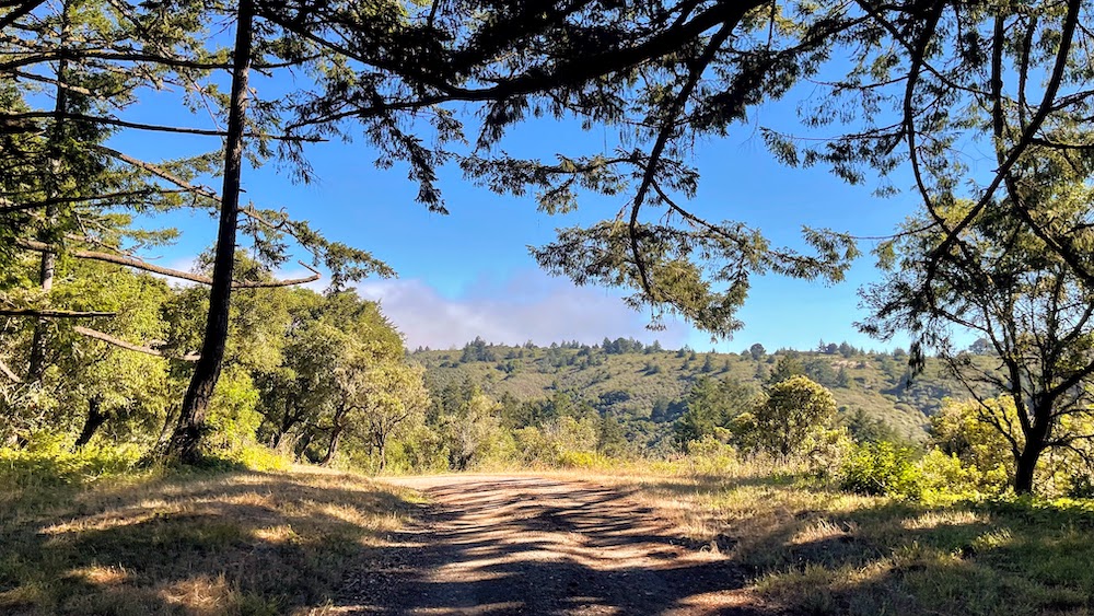
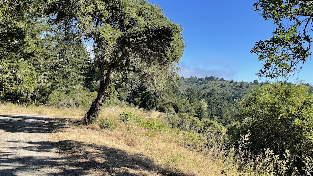
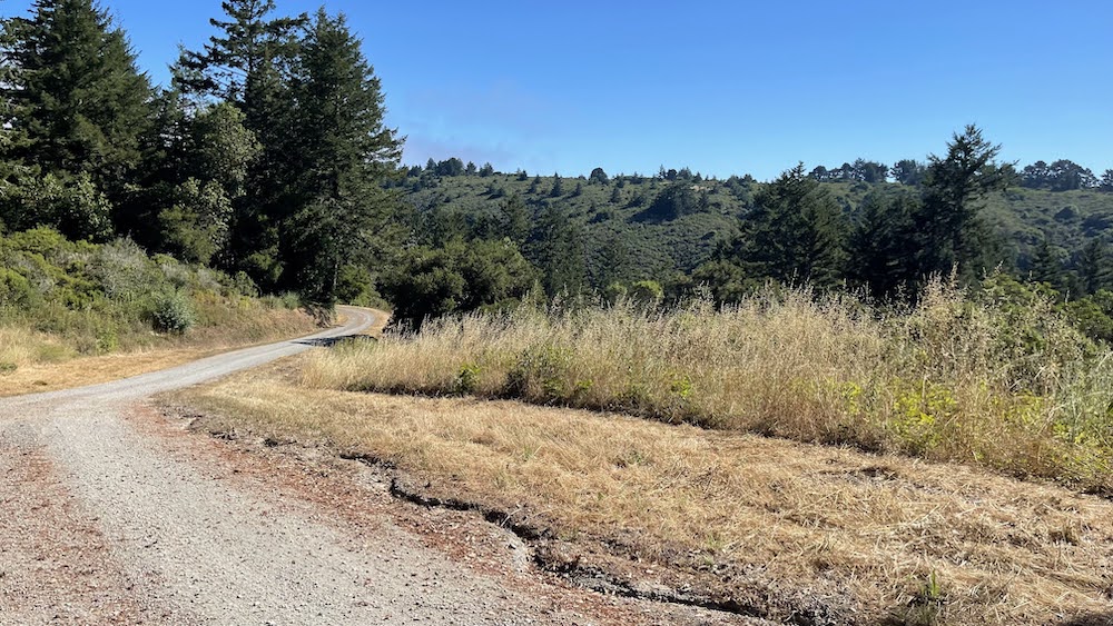
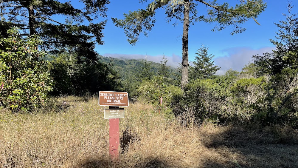
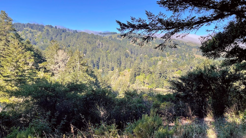
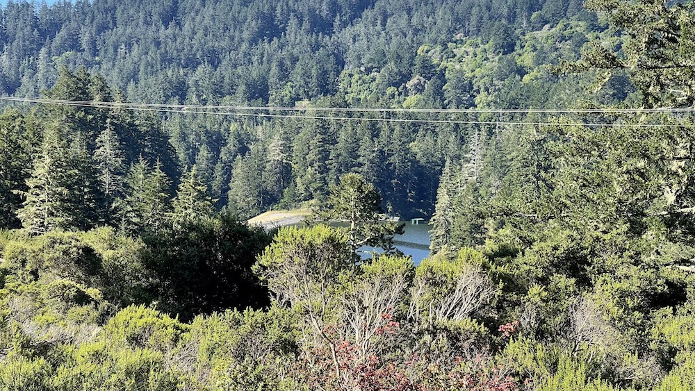
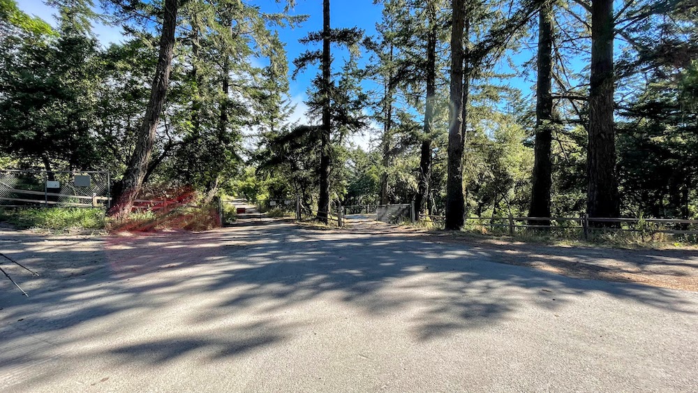
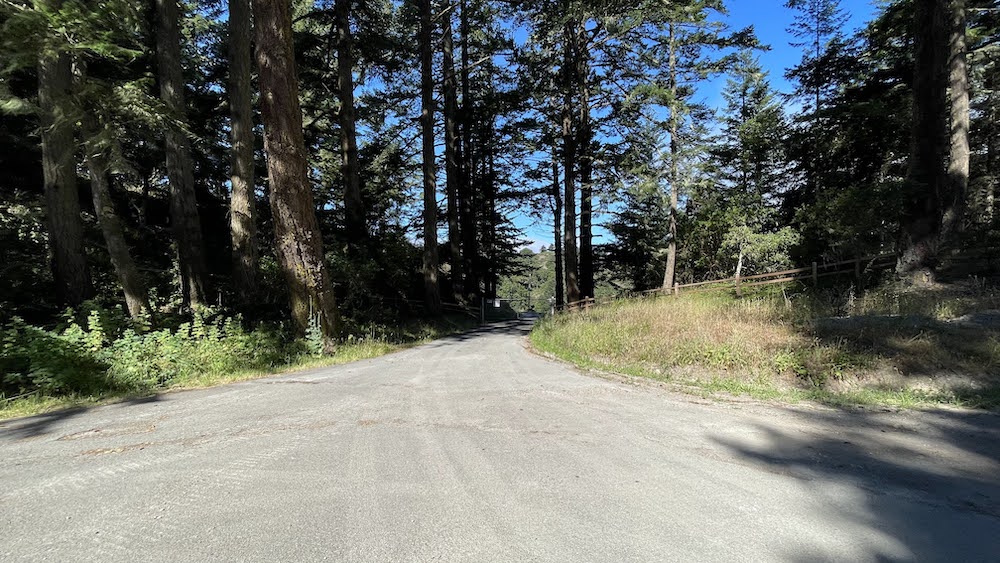
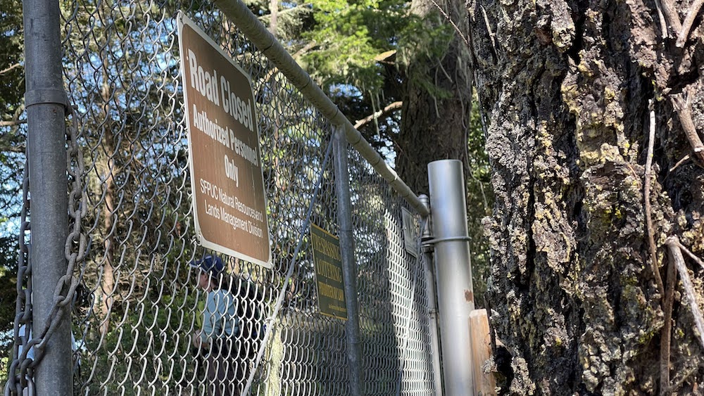
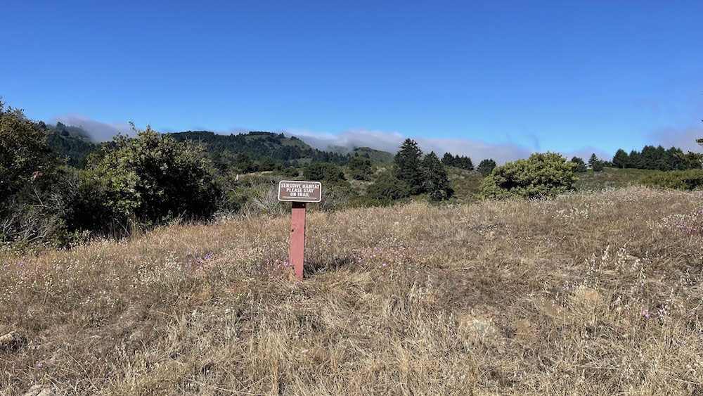
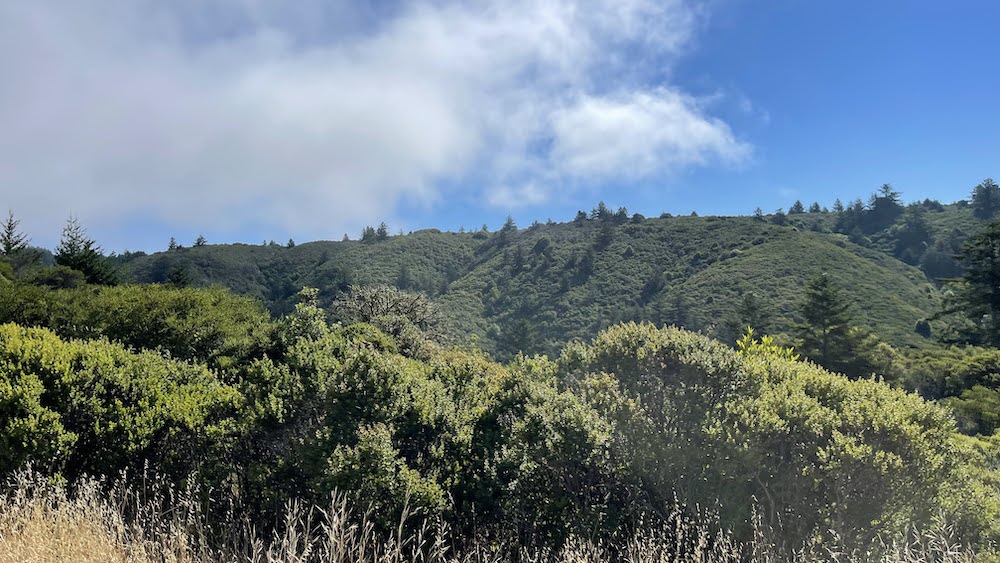
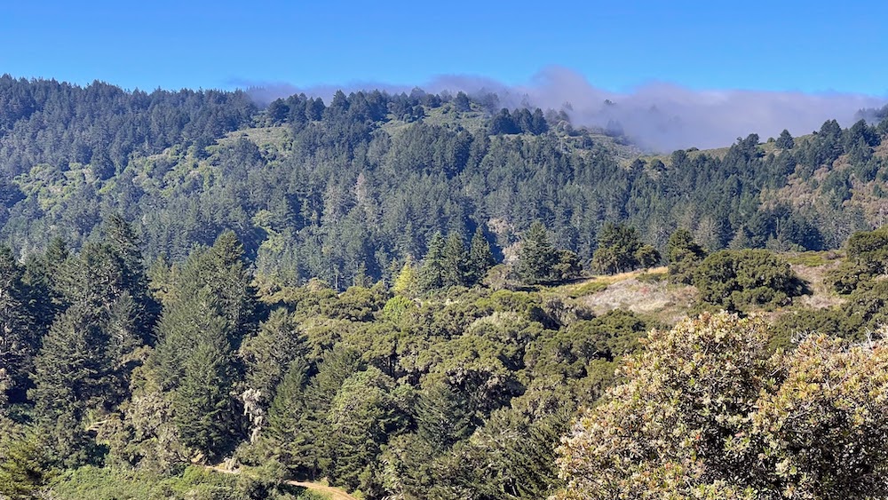
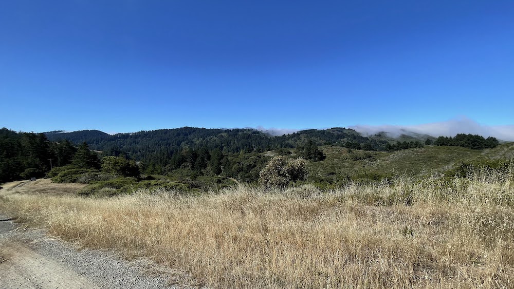
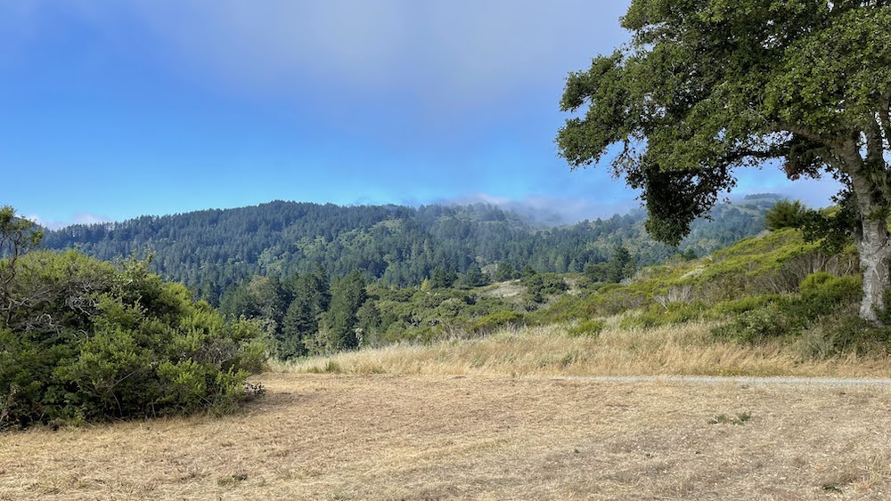
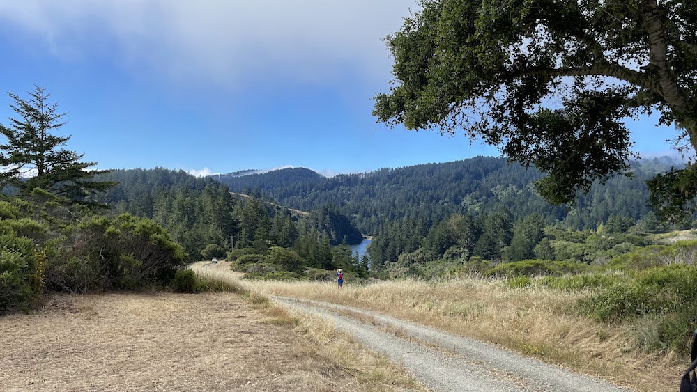
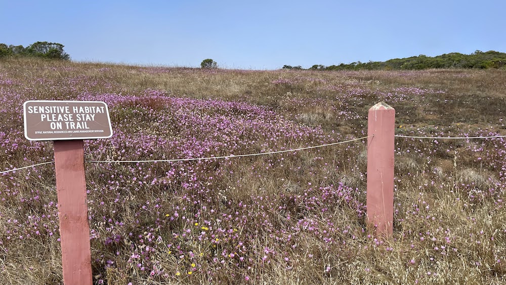
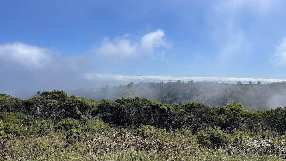
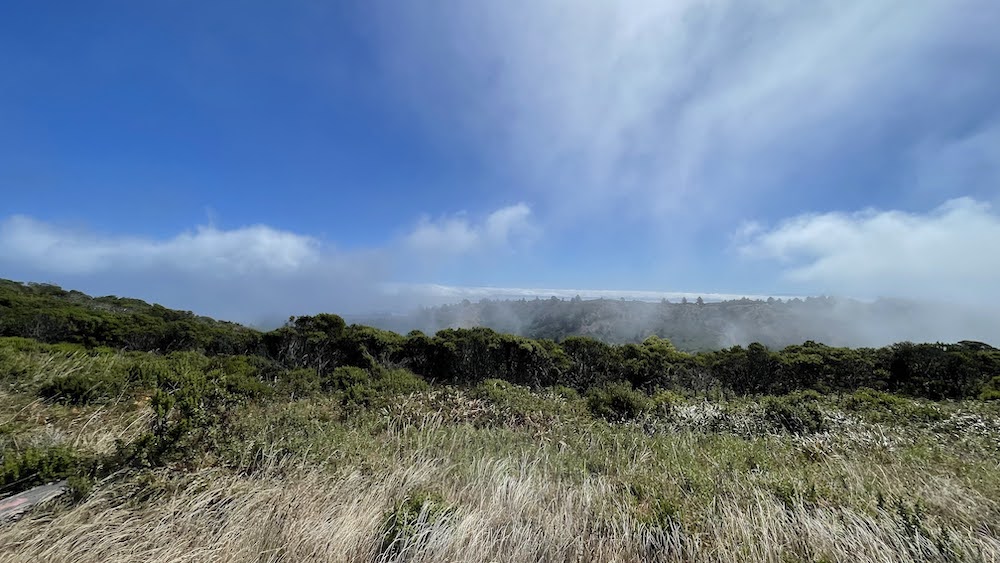
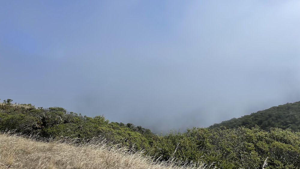
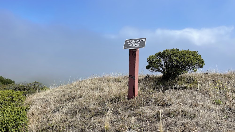
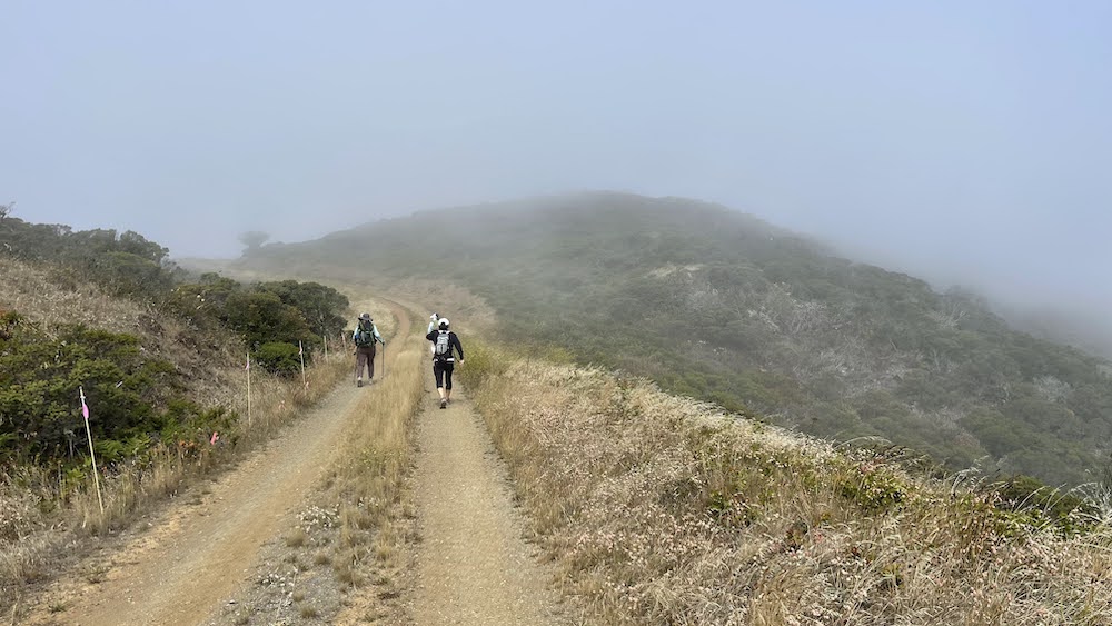
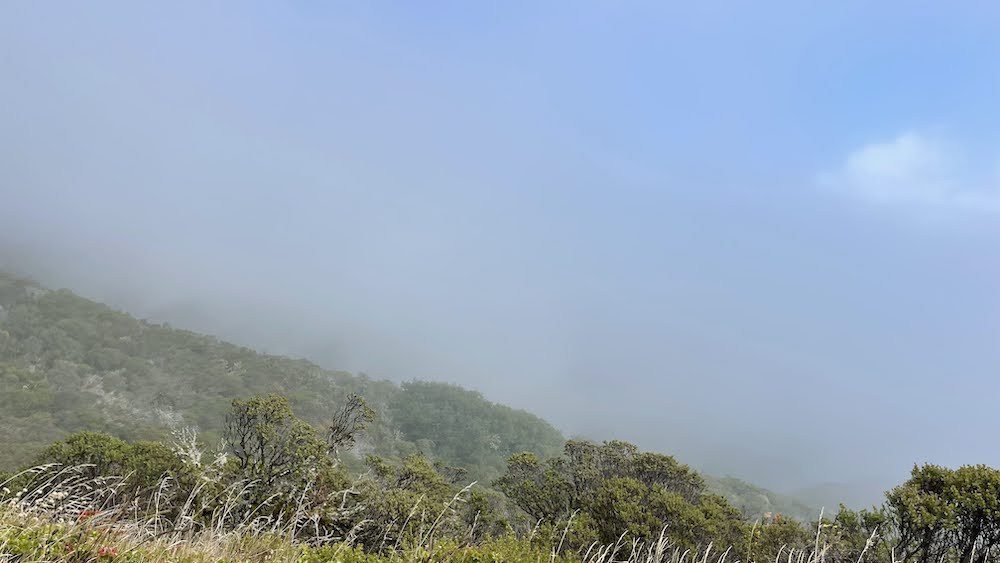
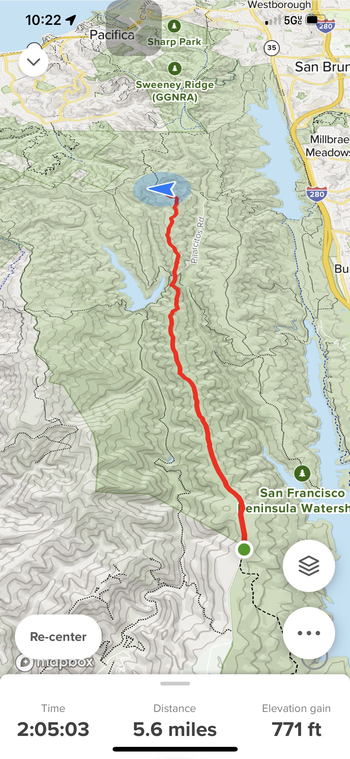
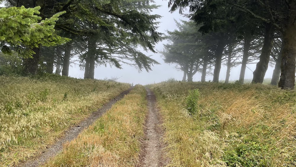
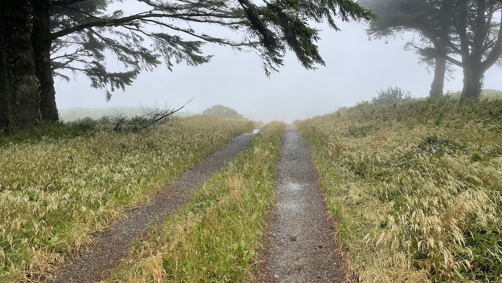
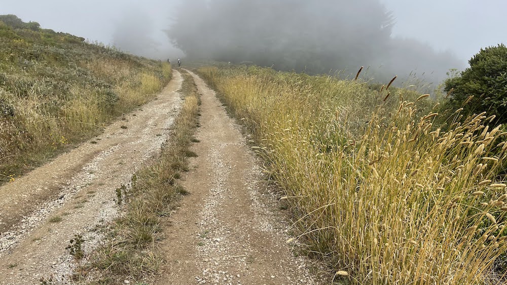
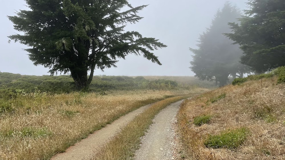
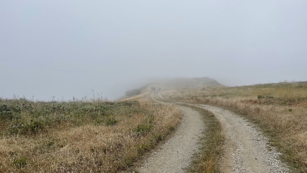
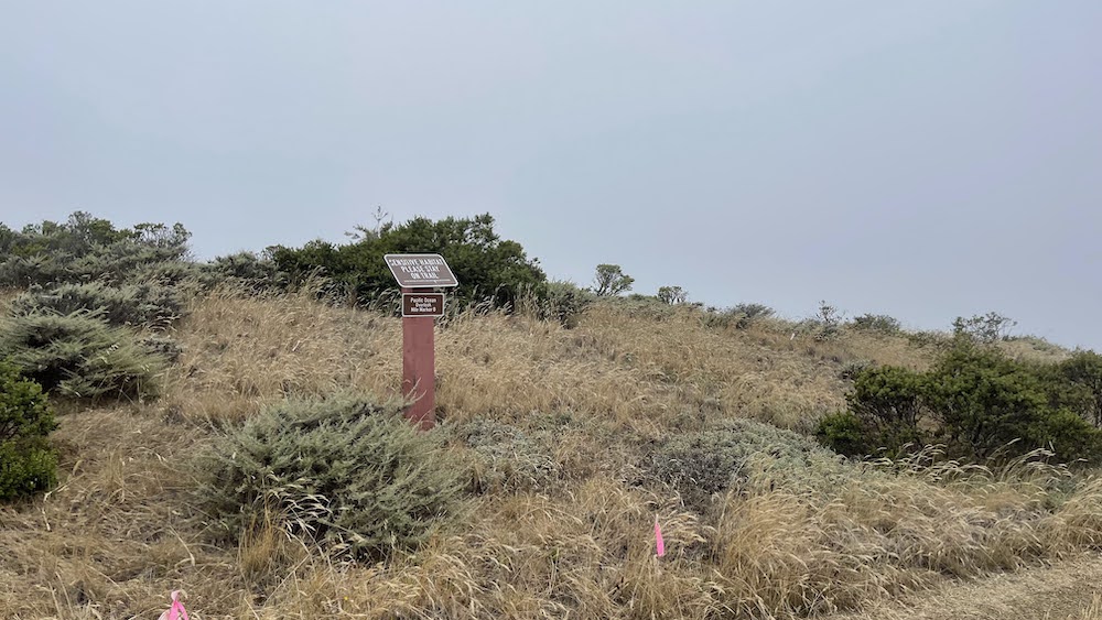
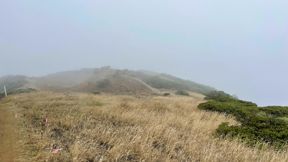
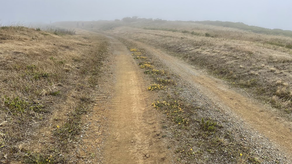
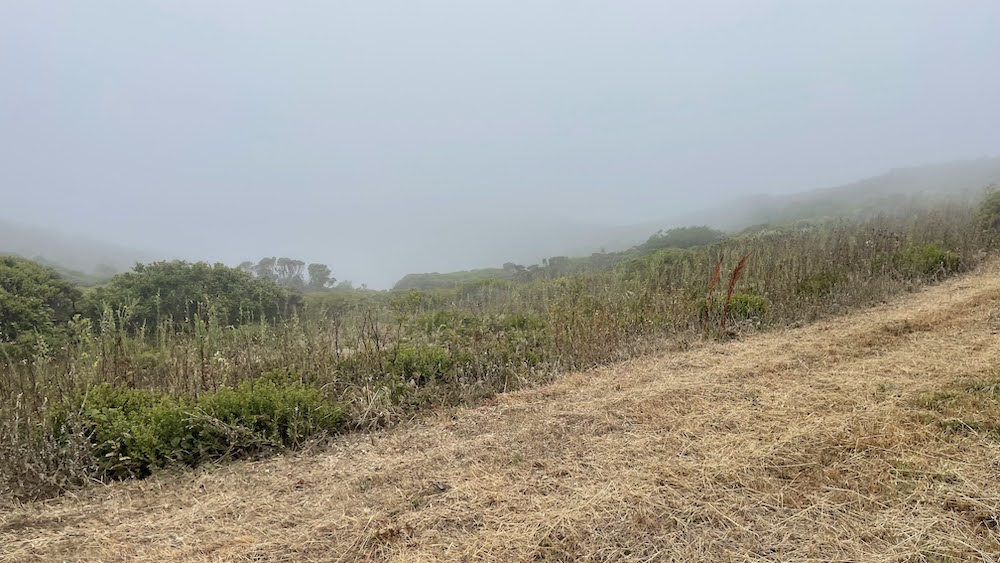
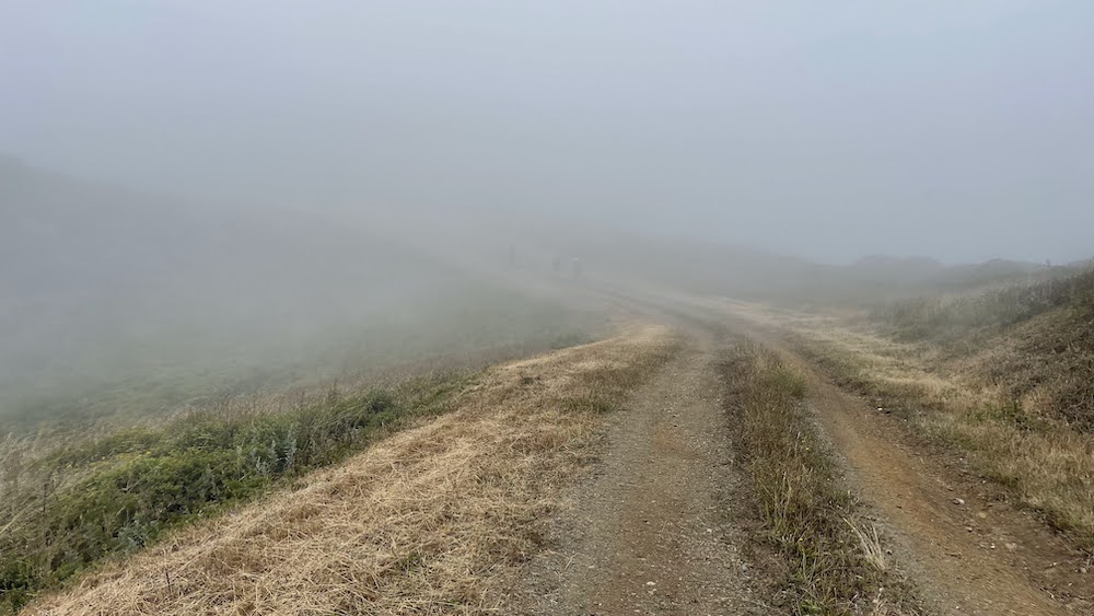
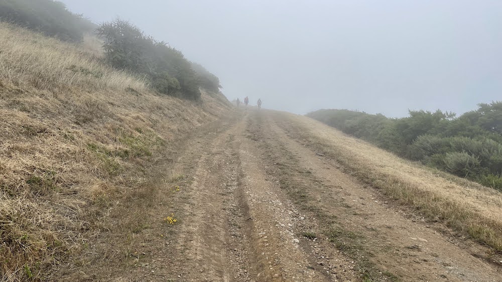
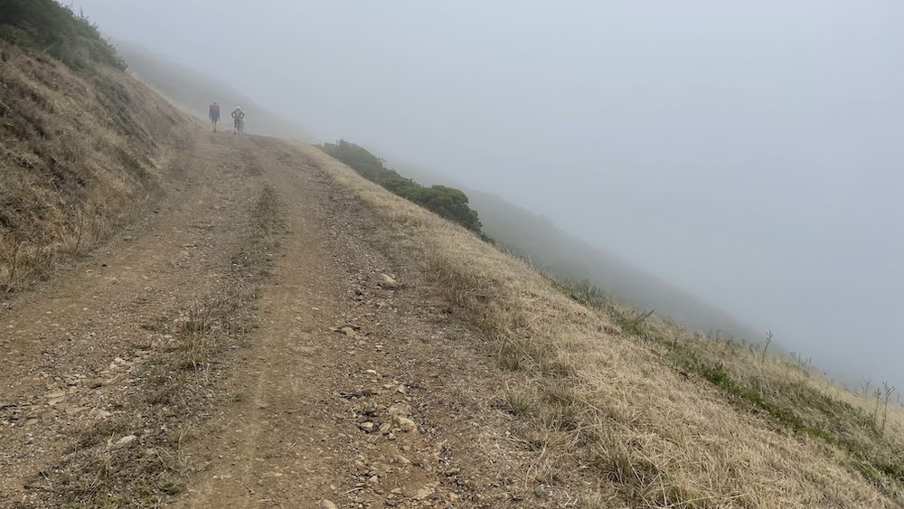
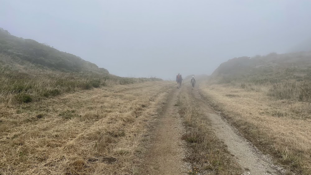
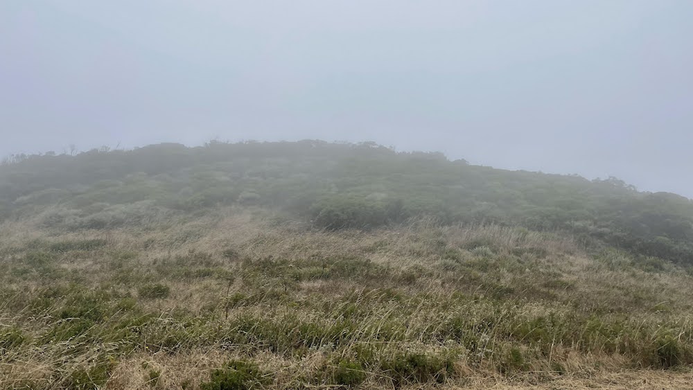
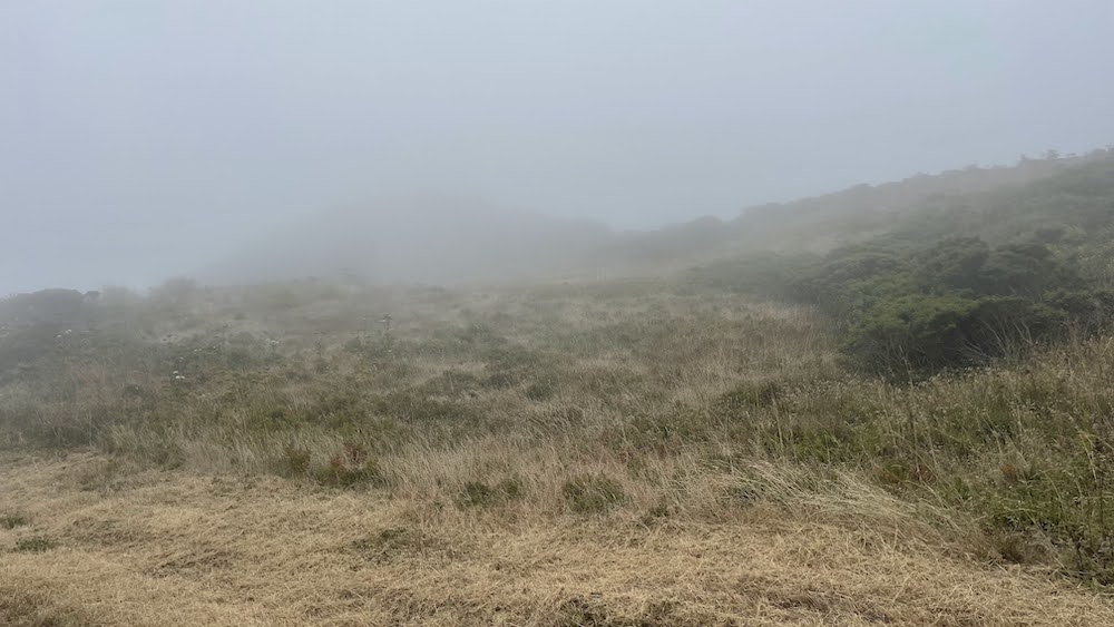
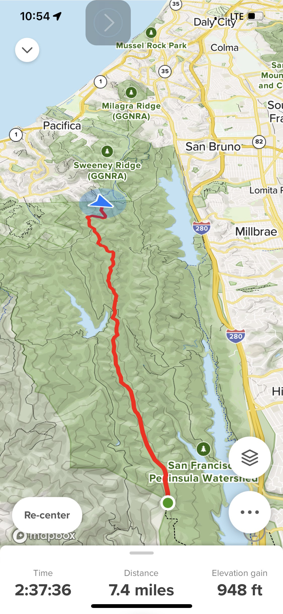
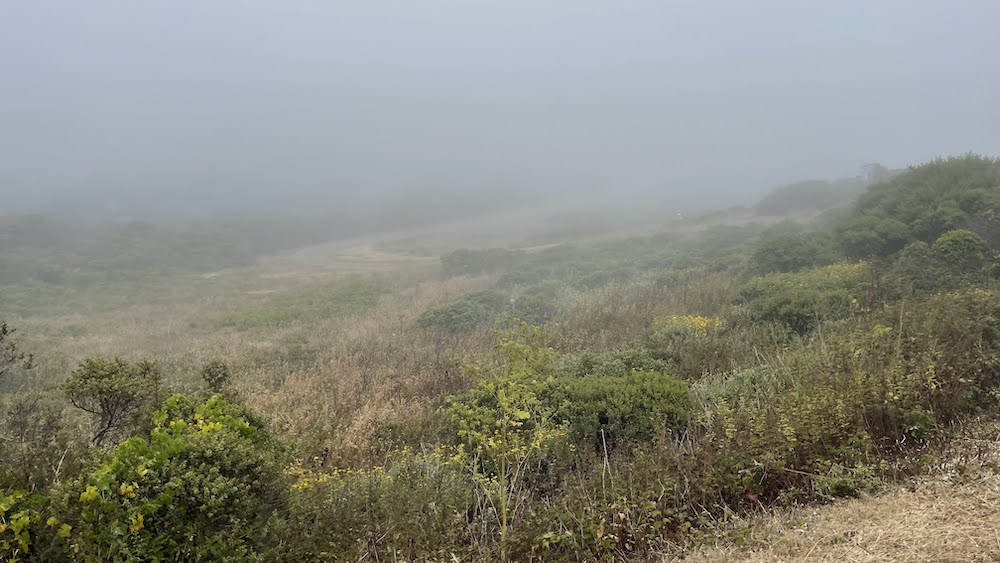
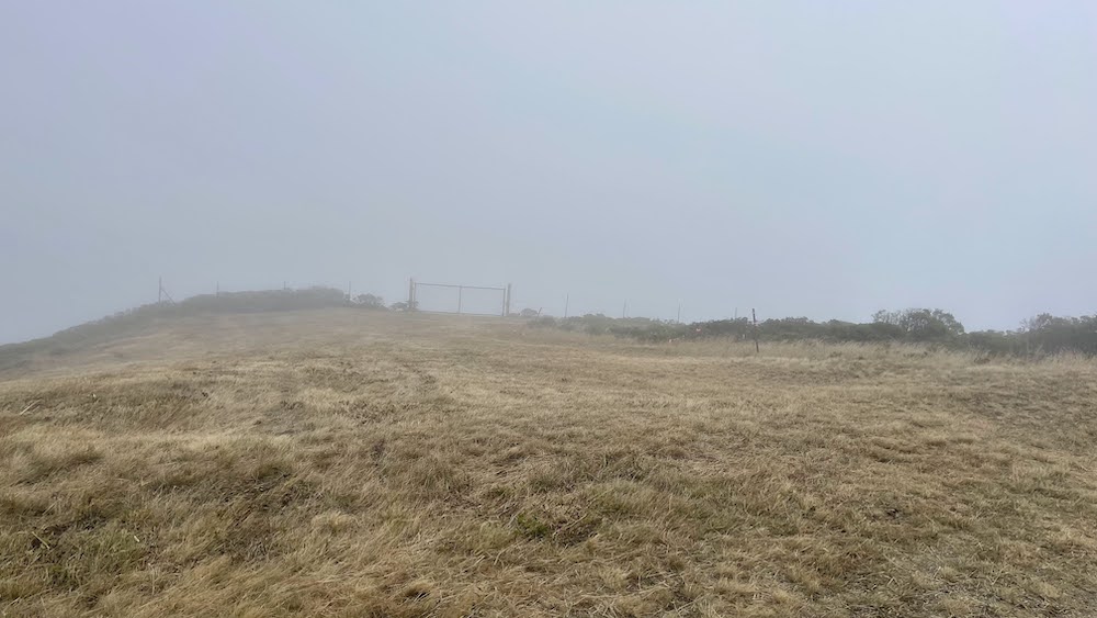
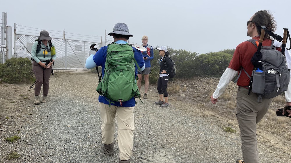
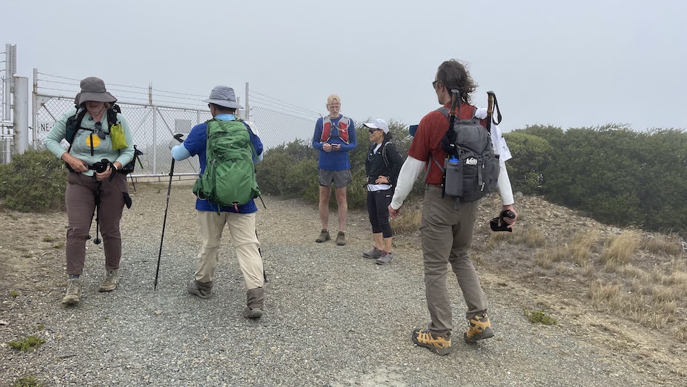
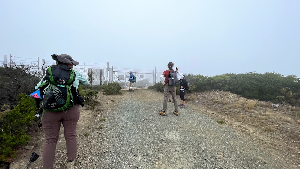
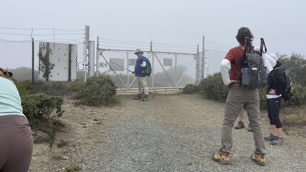
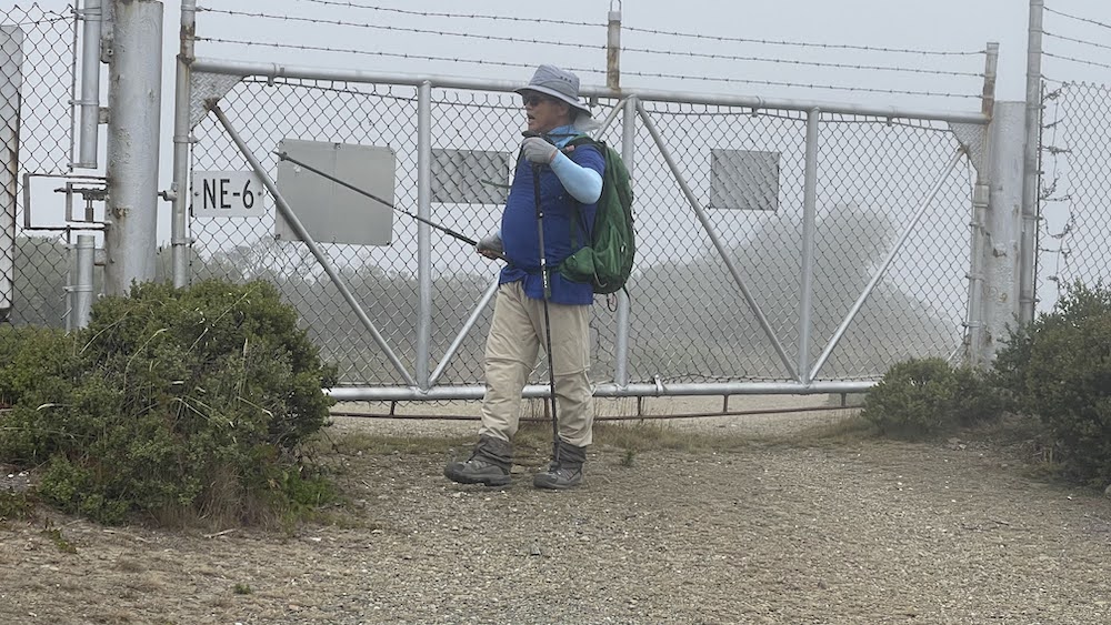
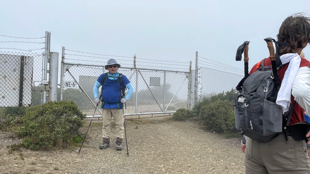
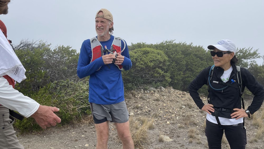
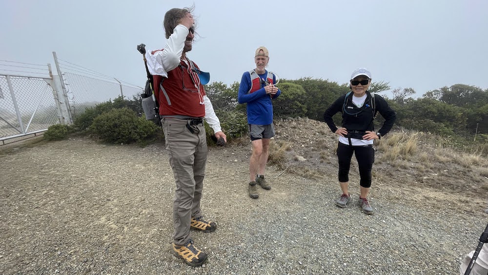
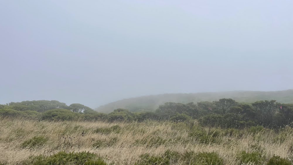
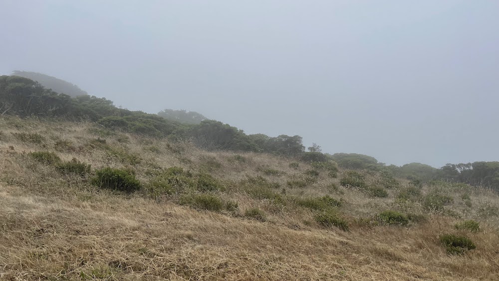
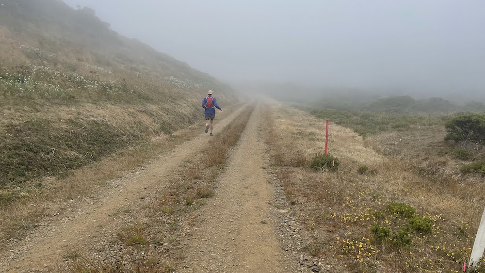
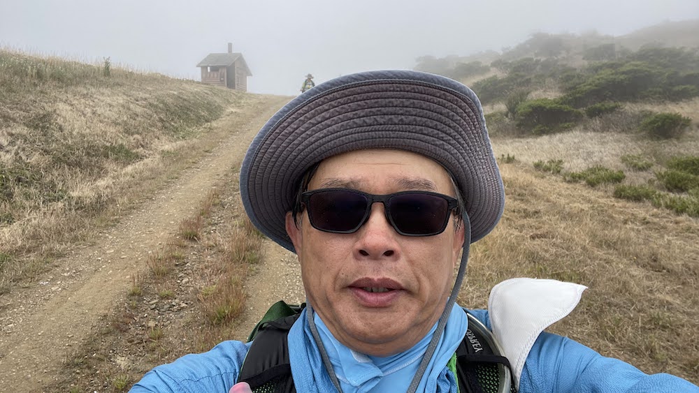
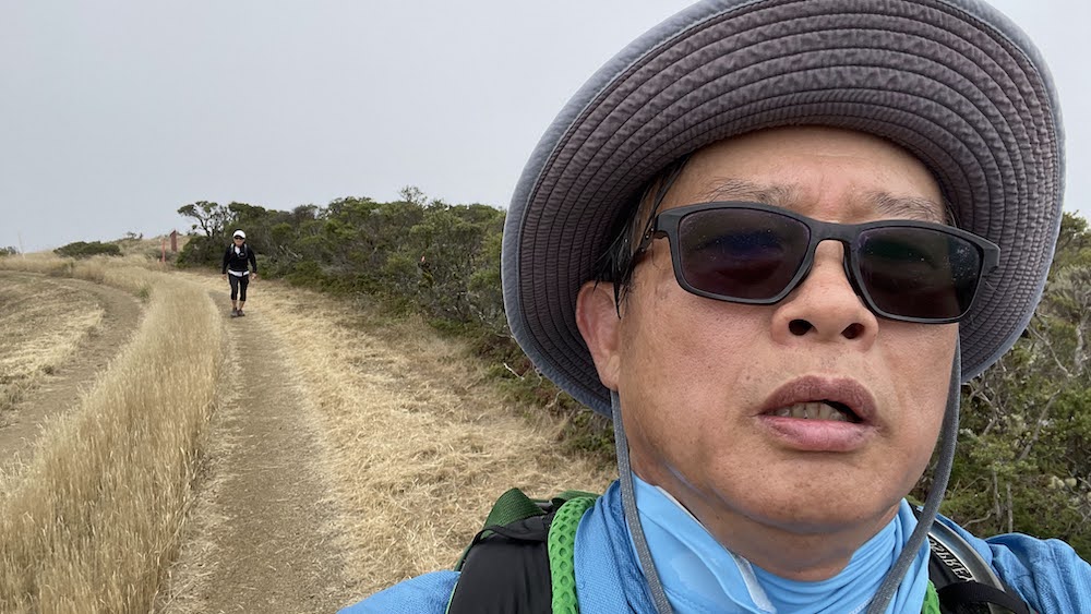
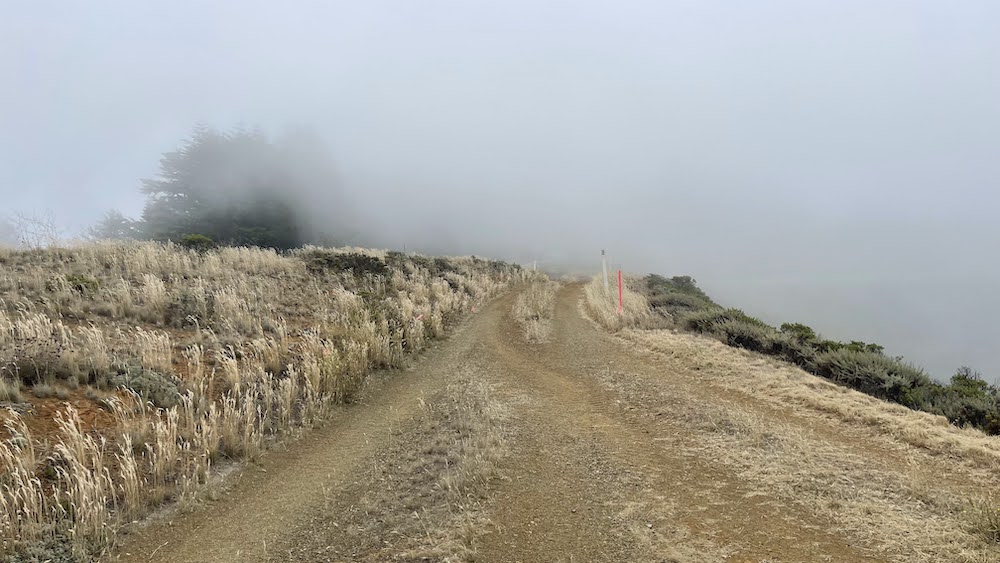
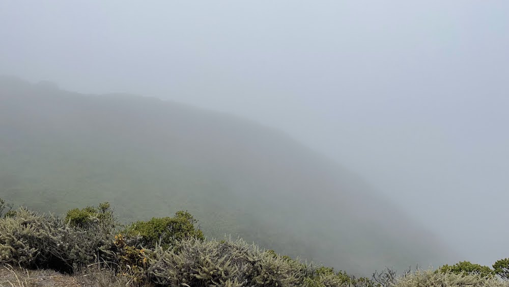
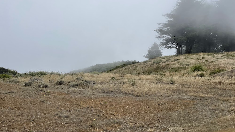
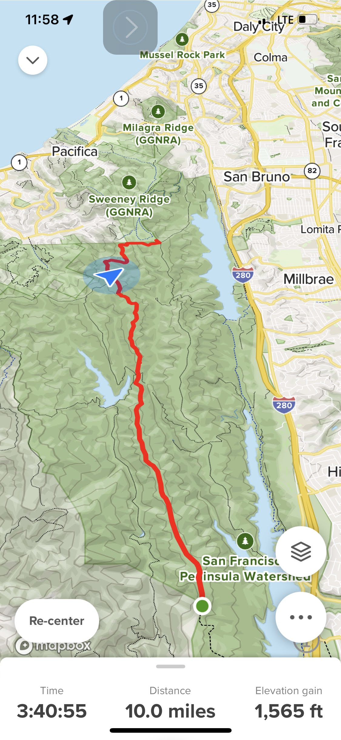
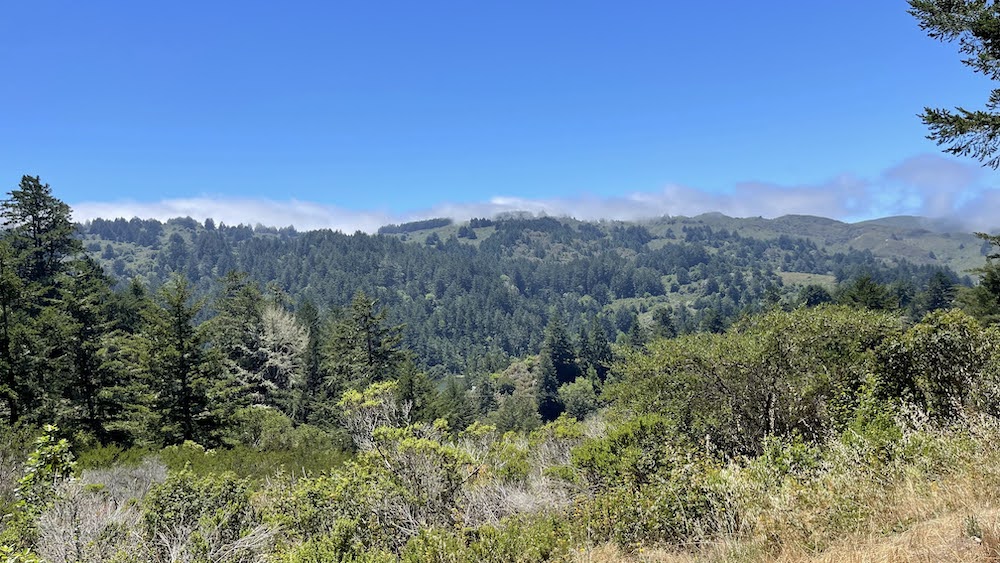
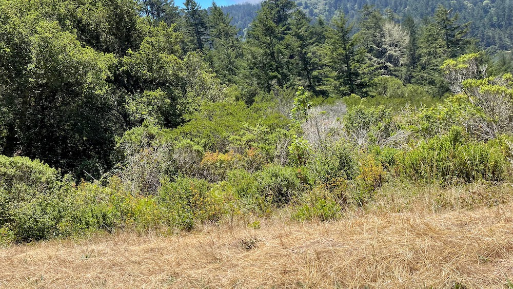
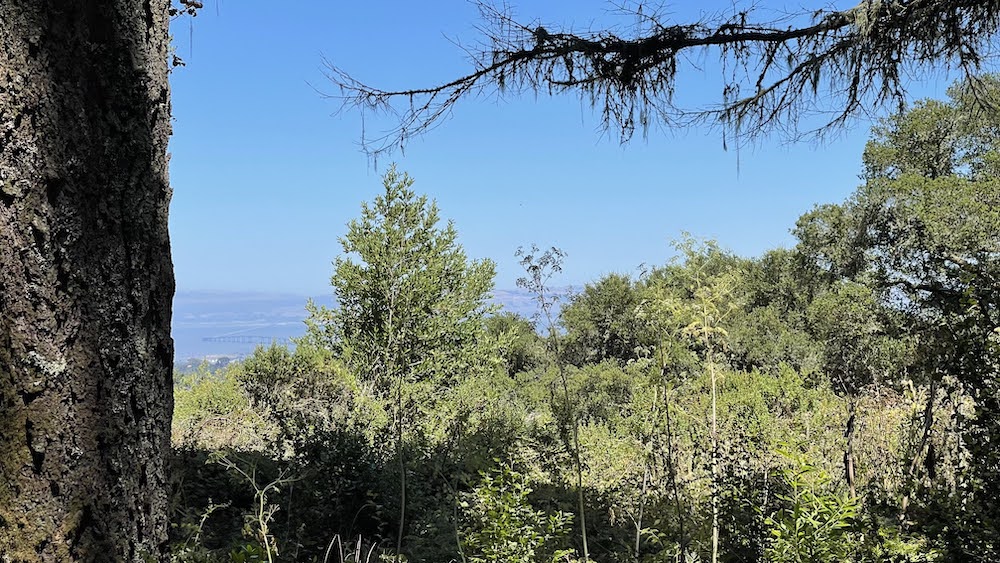
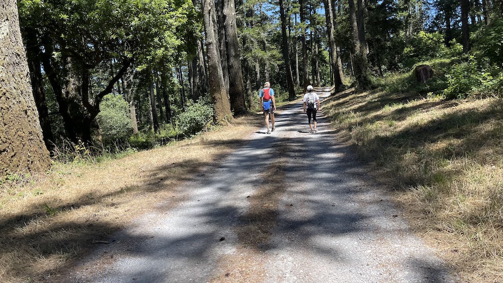
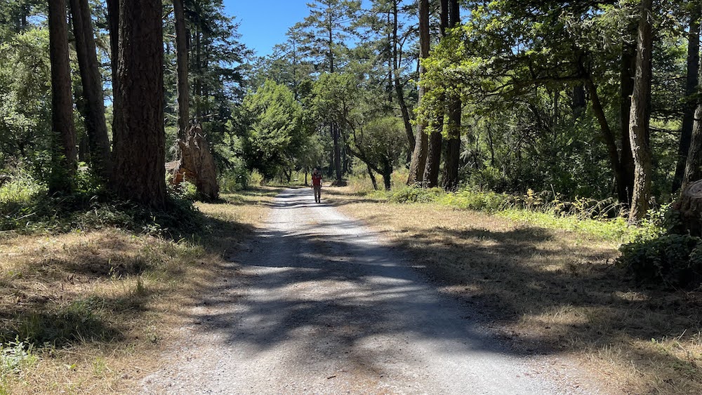
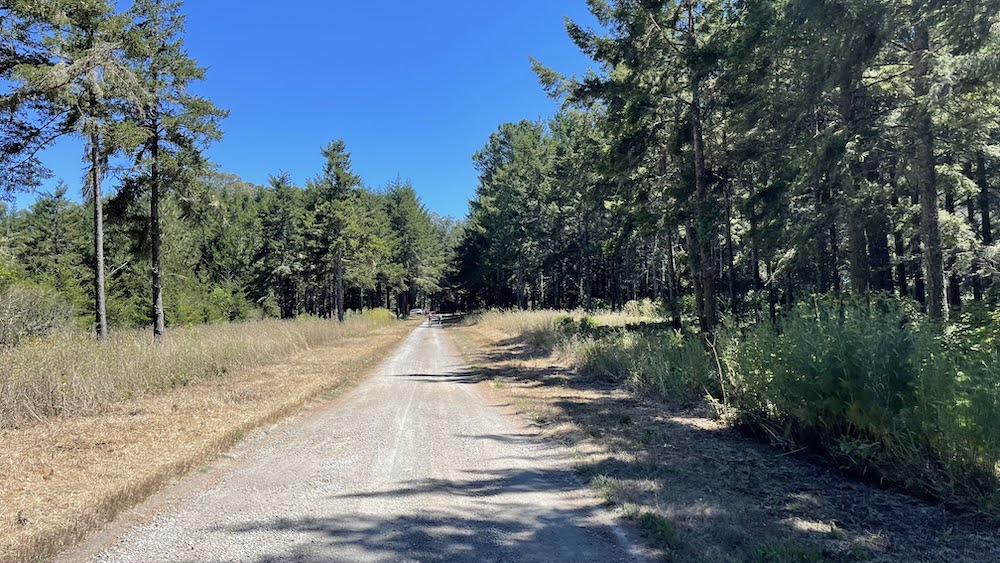
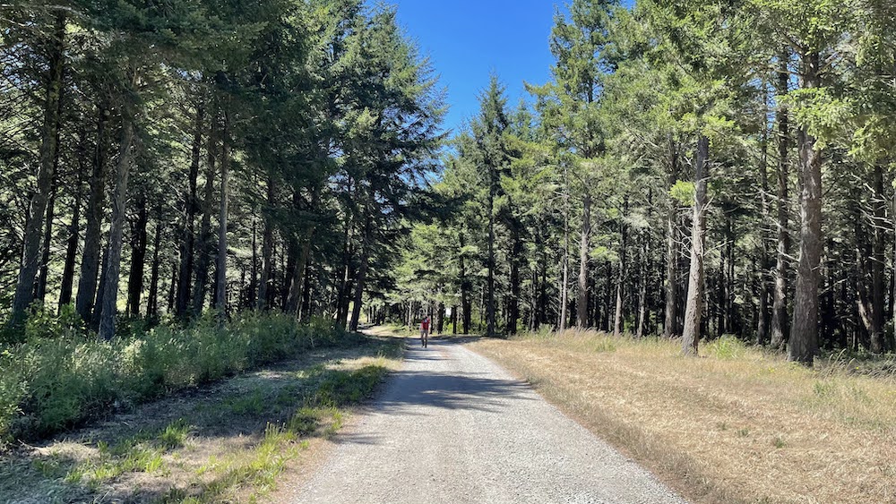
Fifield Cahill Ridge Trail은 San Francisco Public Utilities Commission가 소유한 땅으로 수자원 보호를 목적으로 출입이 통제된 지역이다. Fifield Cahill Ridge Trail은 샌프란시스코 반도의 분수령으로 동쪽으로는 San Francisco Bay가 보이고 사쪽으로는 태평양이 보이는 절경이 펼쳐지는 지역으로 알려져 있다. 이곳을 하이킹하기 위해서는 San Francisco Public Utilities Commission(SFPUC)에 신청하여 허락을 받아야 하고 Volunteer leader가 인솔하게 된다. 그리고 SFPUC 직원이 하이킹하는 내내 뒤에서 졸졸졸 트럭을 타고 따라오며 에스코트를 한다. 하이킹 하고자 하는 그룹, 바이킹하고자 하는 그룹, 승마하고자 하는 그룹을 하루에 한번씩 허용한다. 나는 61째 생일을 기념하여 하이킹을 하였는데 아쉽게도 분수령지역에 그름이 끼어 그름 안개로 인해 만과 태평양을 바라보지는 못했다. 공동묘지 입구(Cemetery Gate)에서 시작하여 패시피카로 이어지는 (Portola Gate)까지 8.5마일을 out and back으로 토탈 17마일을 하이킹했다. 70년대에 표구기술로 이민을 와서 유닉스 프로그래머로 은퇴한 미국분과 사는 한국계 여자분이 Volunteer leader로 봉사했고 러너차림으로 참여하여 우리일행을 앞질러 뛰어갔다 돌아오길 반복한 목사한분, 스카티쉬계 아줌마, 평범한 미국인등 총 6명이 이 하이킹을 함께했다. 내 셀폰으로 측정한 올트레일 프로그램에는 16.2마일이 기록되어 있는게 내가 0.8마일 정도의 차이가 보였다. 아무튼 특이하고 독특한 경험이 좋은 생일기념이 되었다.
.
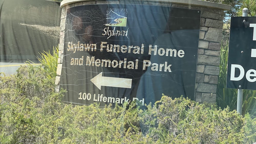
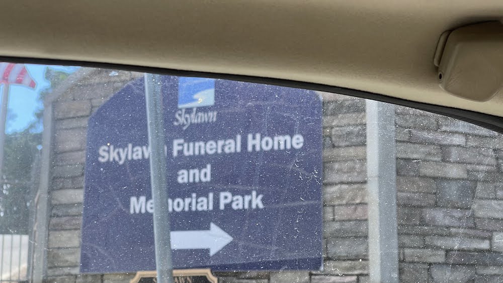
The 17 mile hike Saturday 2-26-2022 at 8:00. Volunteer leader guided this trip and San Francisco Public Utilities Commission sponsered this trip. This hike is for my 61st birthday event. BE SURE TO GO TO CEMETERY GATE NOT SKYLINE QUARRY! We met at the turnout on Highway 92 at 8:00 am. Cemetery Gate Trailhead (Cemetery Gate is at Mile Marker 1.5): Meet at the turnout on the north side of the intersection of CA Highway 92 and CA Highway 35 just before the entrance to Skylawn Cemetery. The turnout is on the right side of westbound CA Highway 92 approximately 1.7 miles after you have passed over Crystal Springs Reservoir. Once the group has arrived we will caravan north through the Cemetery approximately 2 miles to the Cemetery Gate trailhead and park inside the gate. We did caravan through Skylawn Cemetery in private vehicles, park inside the SFPUC Cemetery Gate (MM 1.5), hike out to the Pacific Ocean Overlook at MM 10 and back. We got lunch at the MM 8 or MM 5.75 rest stop on the return leg. BE SURE TO BRING PLENTY OF WATER! NO WATER ON THE TRAIL!
.
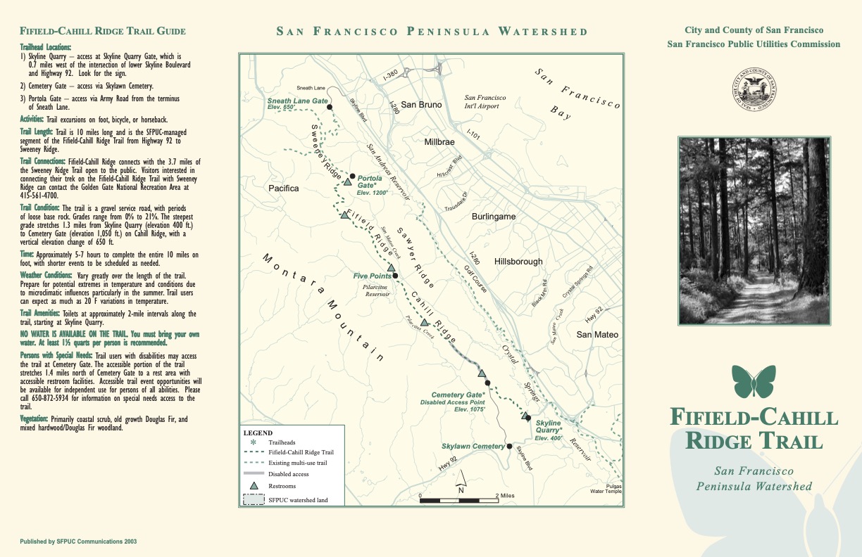
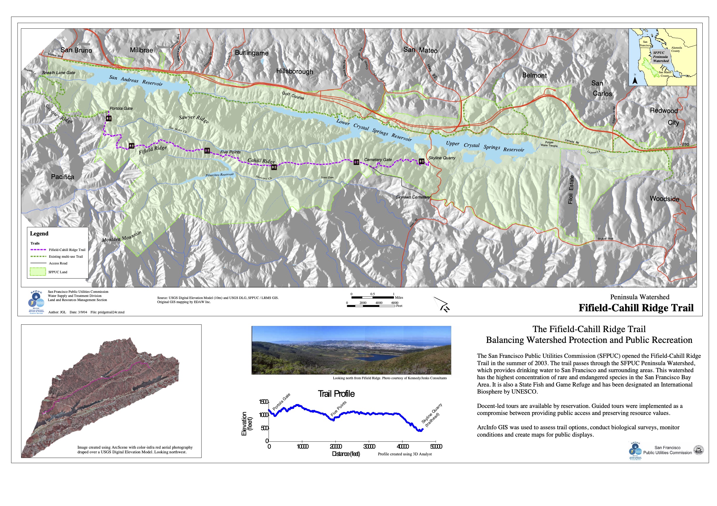
Fifield-Cahill Ridge Trail
.
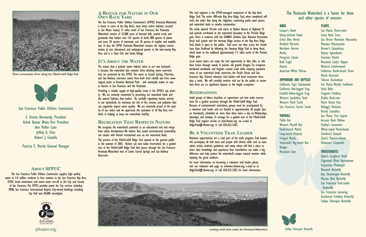
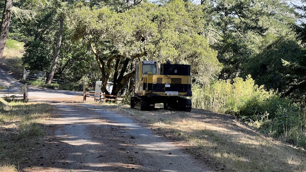
Local nature lovers can enjoy the rare opportunity to hike, bike (motorized vehicles are prohibited, including motorized or electric bikes or scooters), or ride their horses through pristine stands of old growth Douglas Fir, evergreen and fragrant coastal scrub while enjoying ridge-top vistas of our watershed lands, reservoirs, the Pacific Ocean and San Francisco Bay. Trained volunteer trail leaders will head excursions three days a week.
.
Small groups of hikers, bicyclists, or equestrians can now make reservations for guided excursions along the Fifield-Cahill Ridge Trail. Because of environmental restrictions within our fragile ecosystem, groups must be accompanied by a volunteer trail leader and are limited to approximately 20 people (fewer on horseback), scheduled no more than three times a day on Wednesdays, Saturdays, and Sundays. You can reserve spaces for as many as five people for any one event.
.
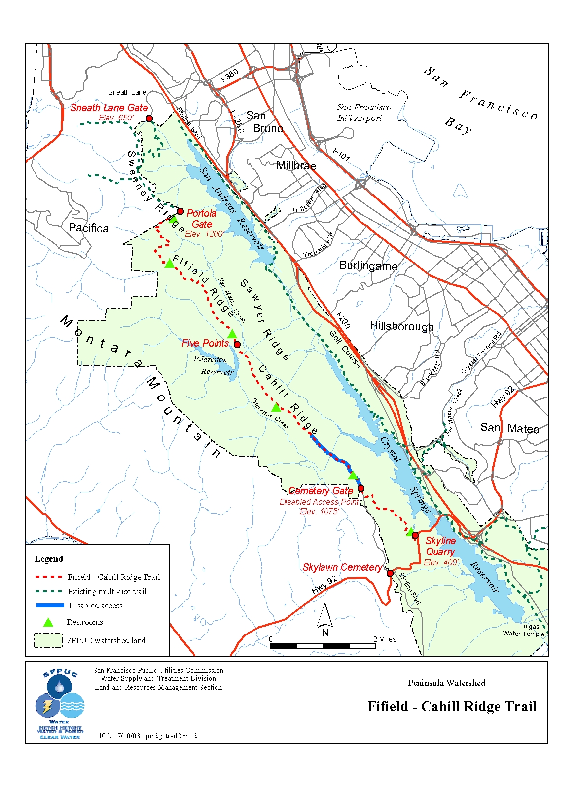
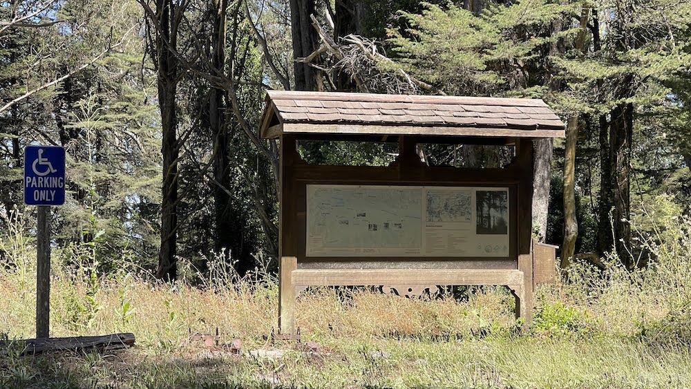
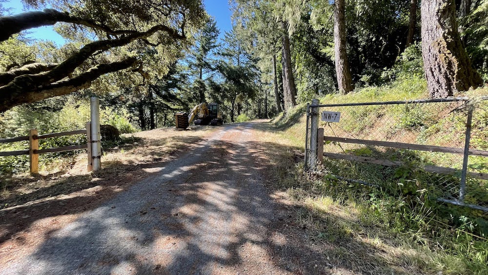
Trailhead Locations
Skyline Quarry – access to this trail head is at Skyline Quarry Gate, which is 0.7 miles west of the intersection of Lower Skyline Boulevard and Highway 92. Look for the sign.Drive westbound on California Highway 92 crossing under Interstate 280. The "T" intersection before you cross the reservoir is Lower Skyline Boulevard. Go straight through it. Remain on Highway 92 crossing over the reservoir. After you have passed the reservoir drive approximately .5 mile. Look for a gate on the north side of Highway 92. Enter through the gate. Drive .5 mile to the parking area.(Look for Skyline Quarry in the lower right hand corner of the map on this page).
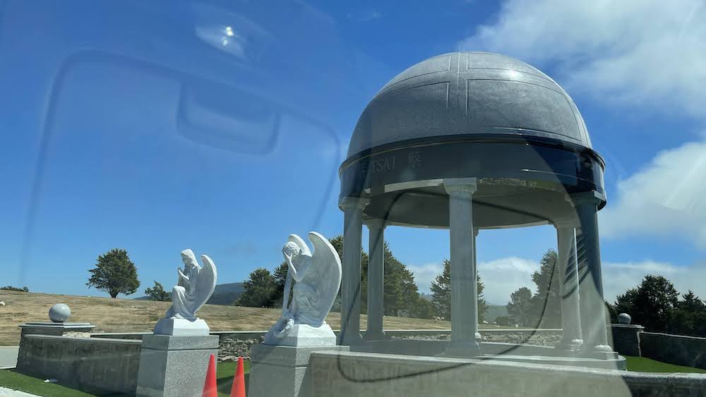
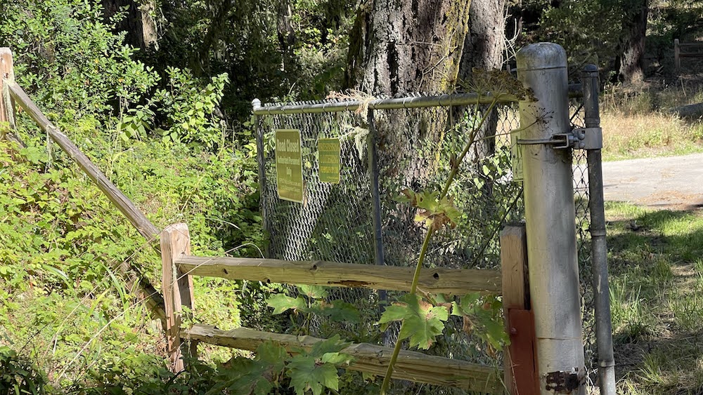
Cemetery Gate – access via Skylawn Cemetery.
Portola Gate – access via Army Road from the terminus of Sneath Lane.
Trail Length
Our managed segment of the Fifield-Cahill Ridge Trail from Highway 92 to Sweeney Ridge is 10 miles long and takes approximately 5-7 hours to complete on foot, with shorter events to be scheduled as needed.
.
Trail Connections
Fifield-Cahill Ridge connects with the 3.7 miles of the Sweeney Ridge Trail open to the public. Visitors interested in connecting their trek on the Fifield-Cahill Ridge Trail with Sweeney Ridge can contact the Golden Gate National Recreation Area .
.
Trail Condition
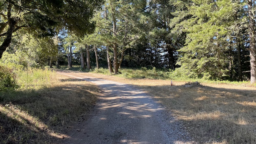
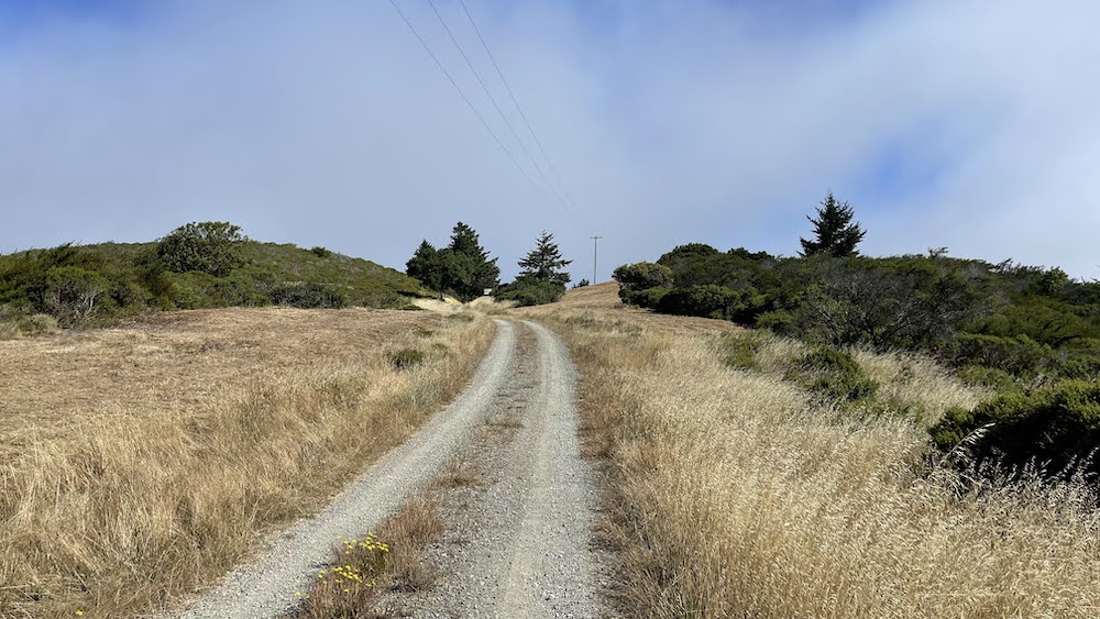
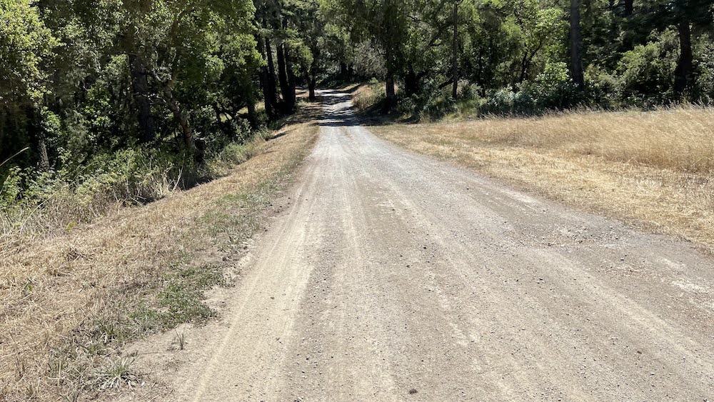
The trail is a gravel service road, with periods of loose base rock. Grades range from 0% to 21%. The steepest grade stretches 1.3 miles from Skyline Quarry (elevation 400 ft.) to Cemetery Gate (elevation 1,050 ft.) on Cahill Ridge, with a vertical elevation change of 650 ft.
.
Trail Amenities
.
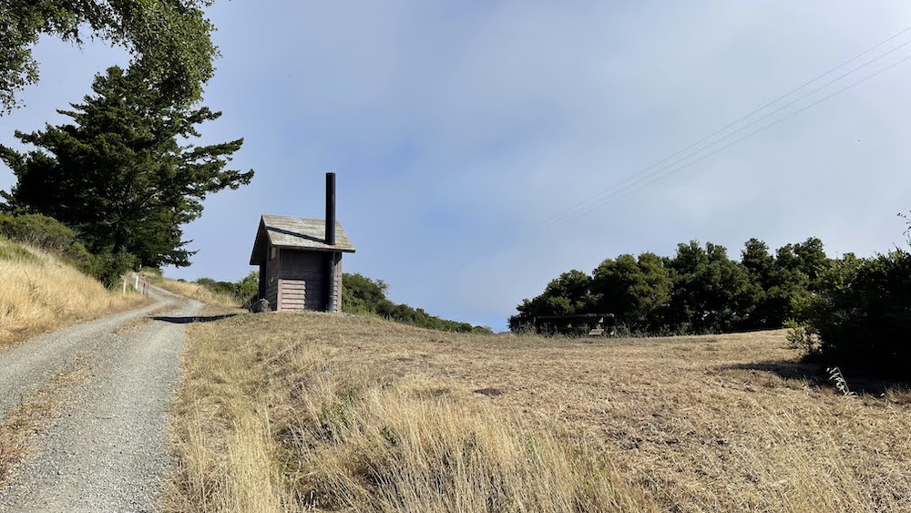
Toilets at approximately 2-mile intervals along the trail, starting at Skyline Quarry. NO WATER IS AVAILABLE ON THE TRAIL. You must bring your own water. At least 1½ quarts per person is recommended.
.
Persons with Special Needs: Trail users with disabilities may access the trail at Cemetery Gate. The accessible portion of the trail stretches 1.4 miles north of Cemetery Gate to a rest area with accessible restroom facilities. Accessible trail event opportunities will be available for independent use for persons of all abilities. Please email jfournet@sfwater.org to request information on special needs access to the trail.
.
Time to Complete the Hike
.
Approximately 5-7 hours to complete the entire 10 miles on foot, with shorter events to be scheduled as needed.
.
Weather Conditions
.
Temperatures vary greatly over the length of the trail. Prepare for potential extremes in temperature and conditions due to microclimatic influences particularly in the summer. Trail users can expect as much as 20 F variations in temperature.
.
+++


SFPUC_brochure.PDF
0.48MB
SFPUC-_elevation_map.pdf
4.57MB
SFPUC-_map_guide.jpg
0.96MB
반응형