
반응형
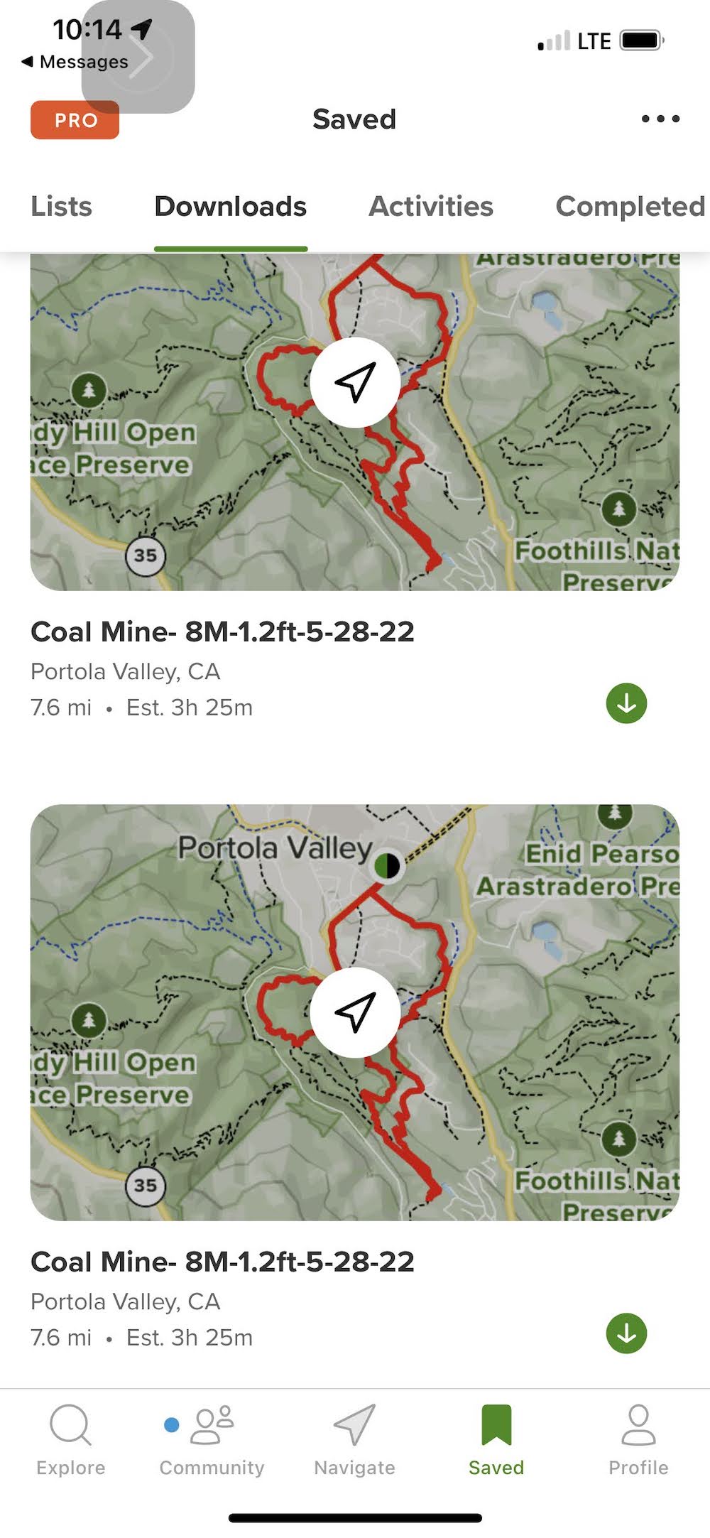
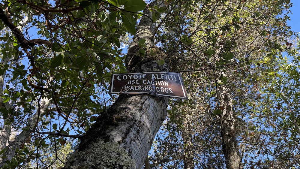
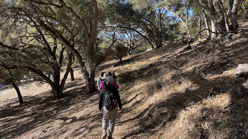
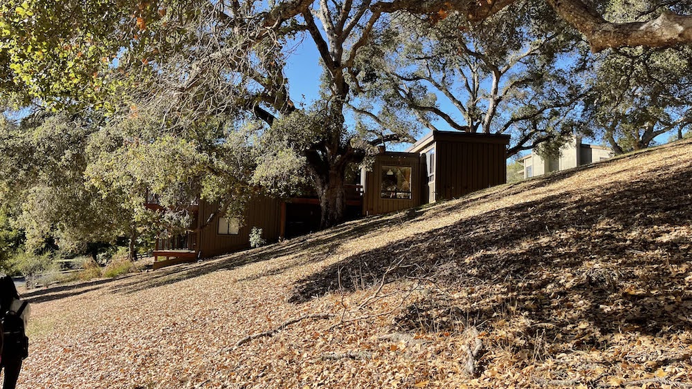
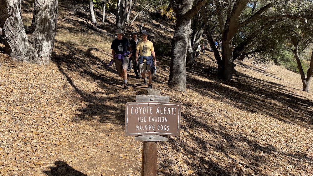
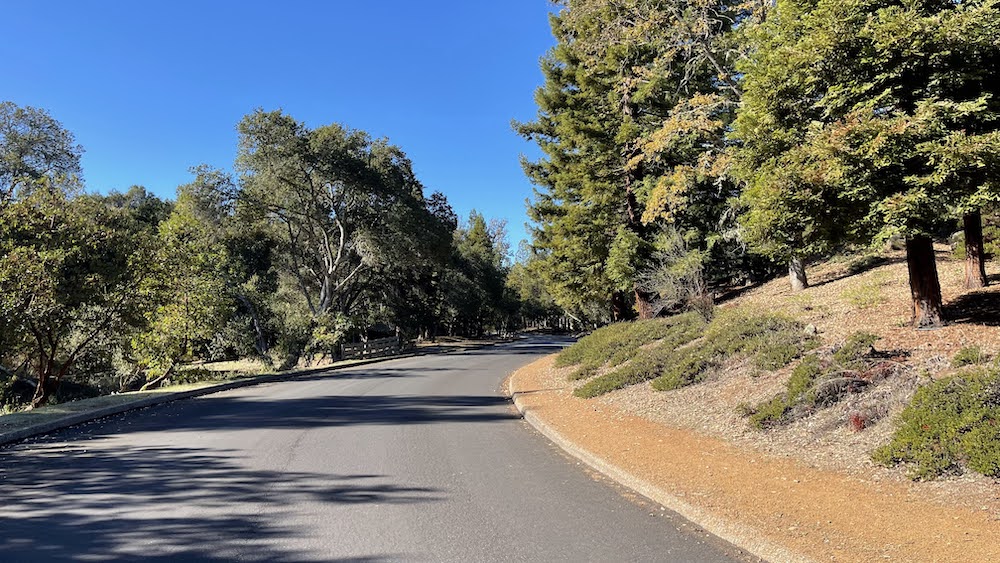
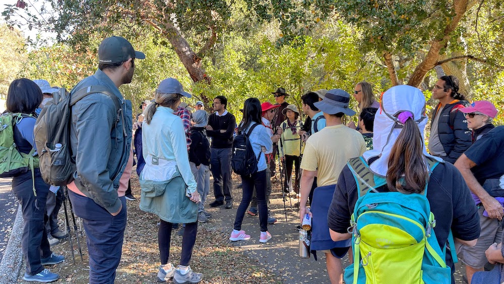
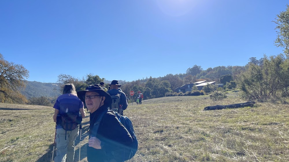
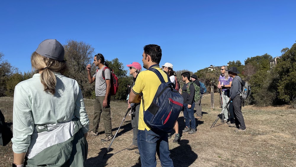
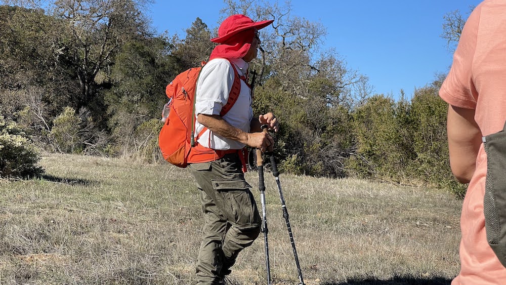
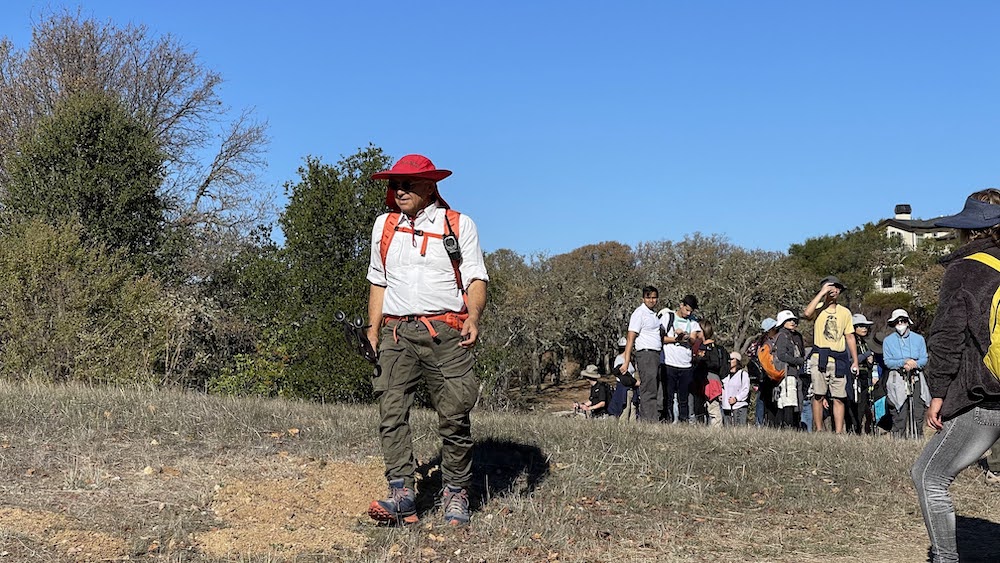
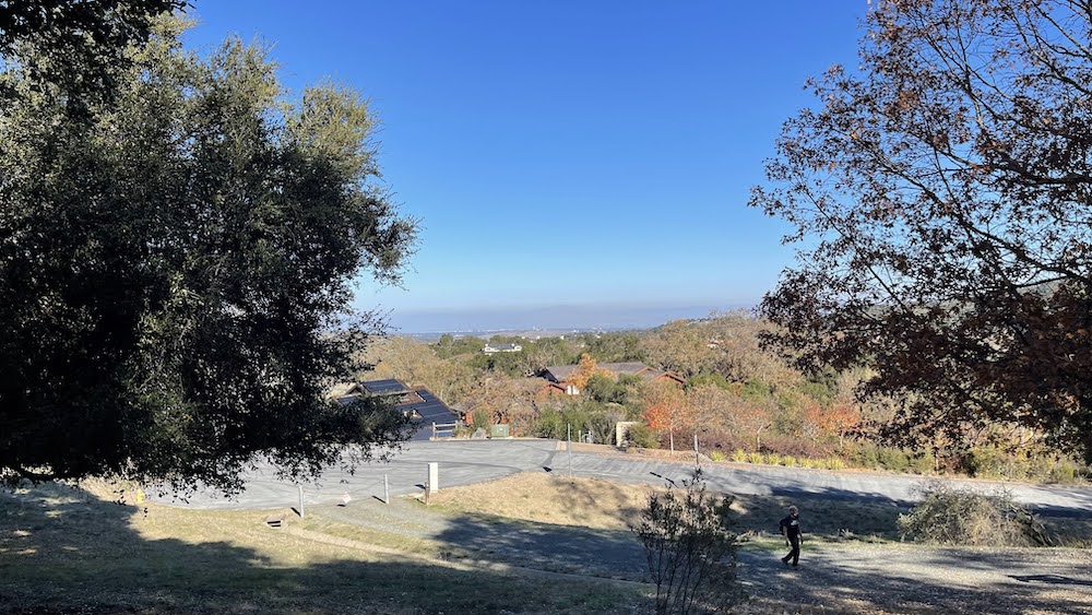
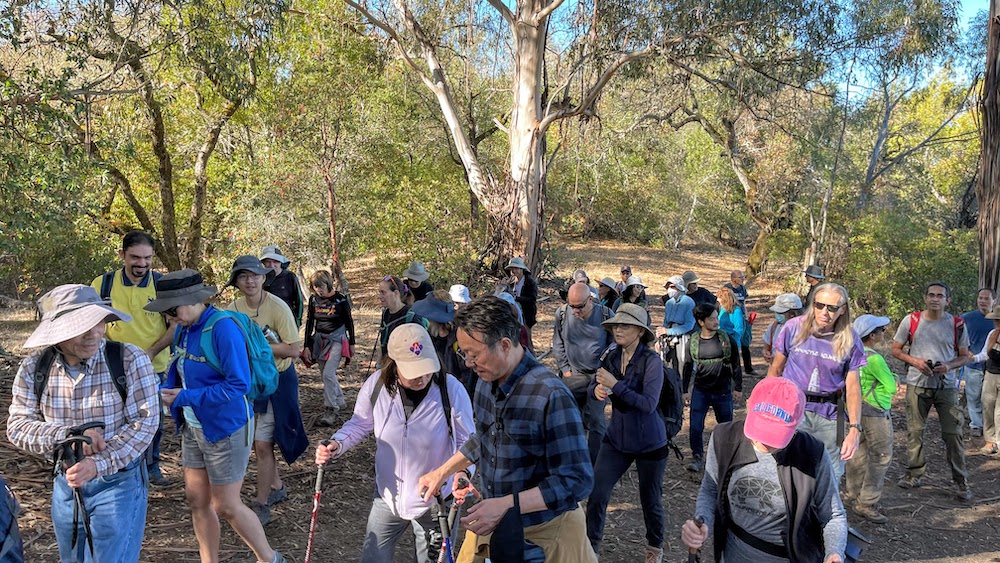
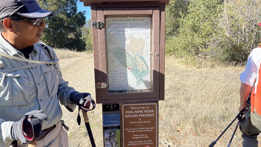
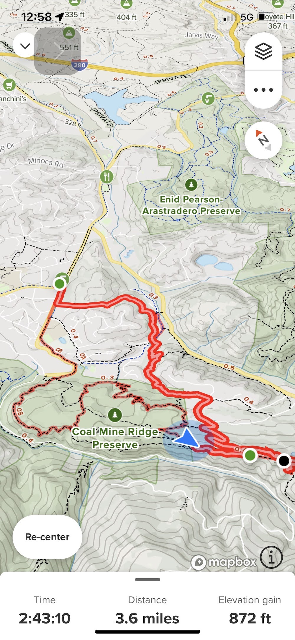
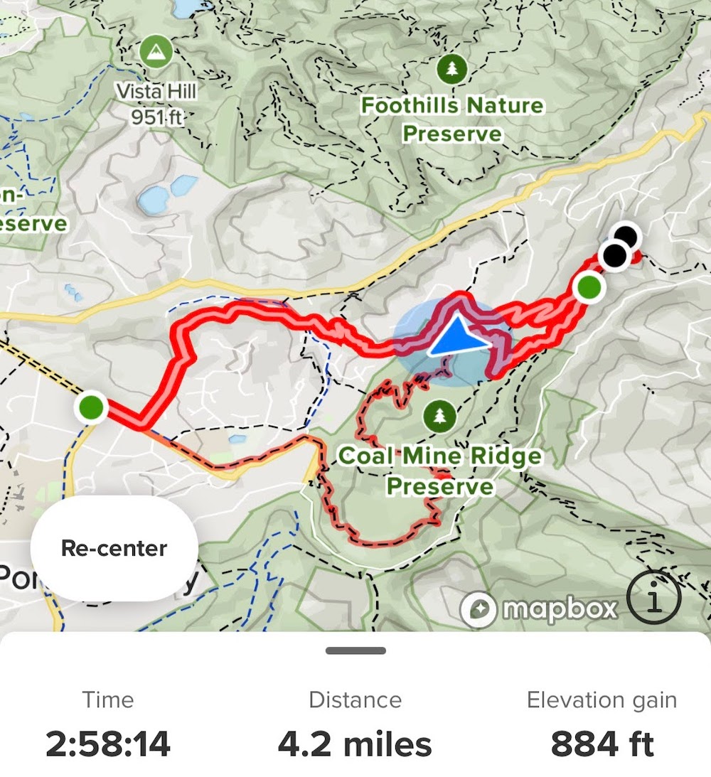
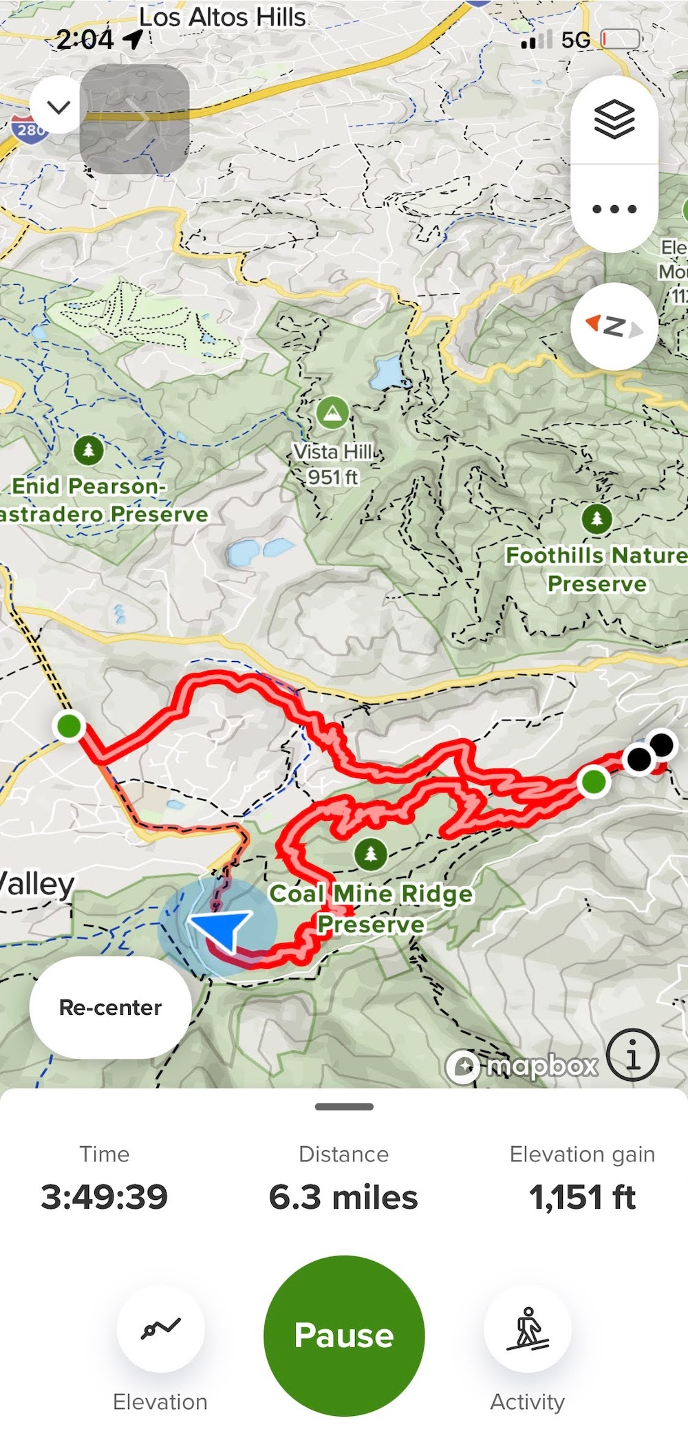
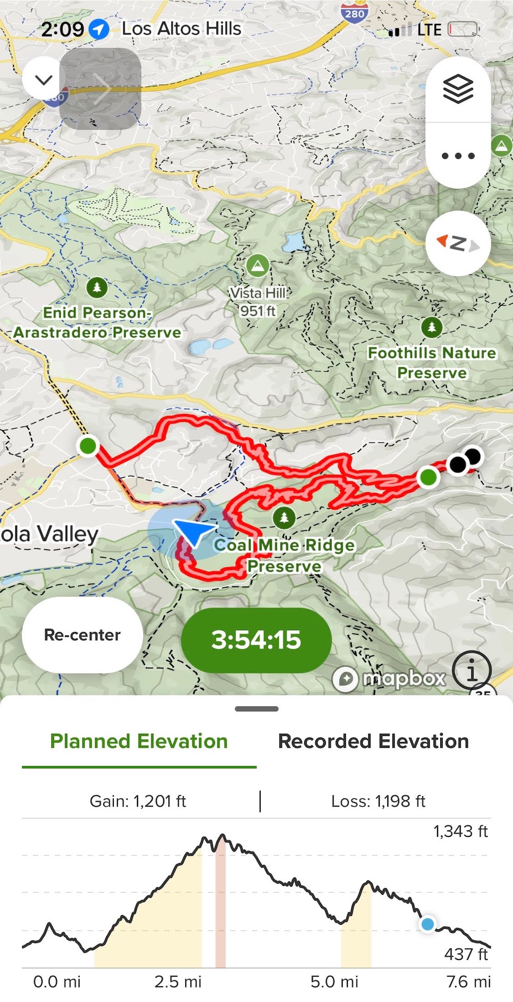
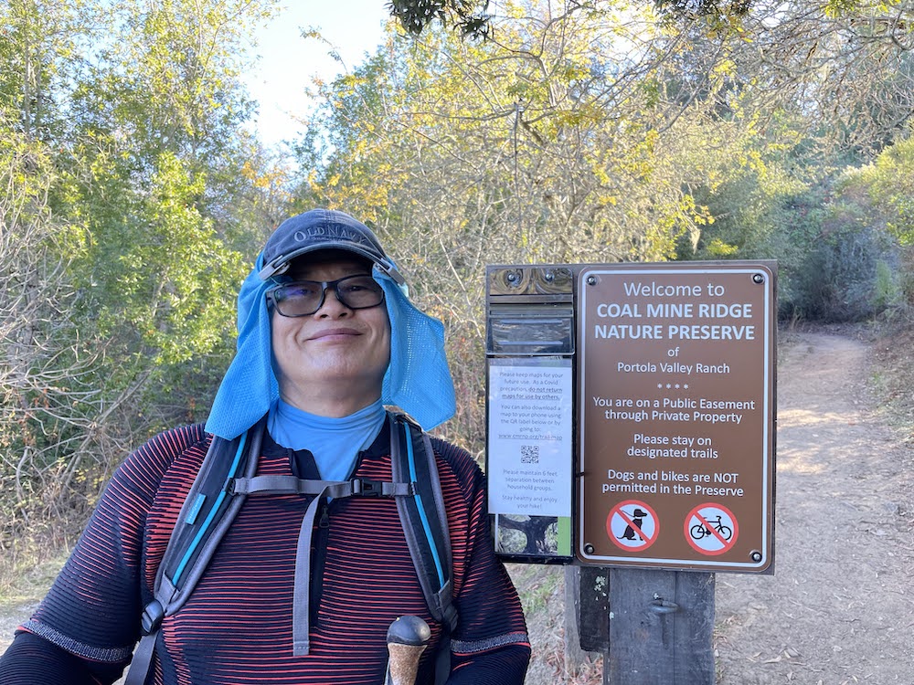
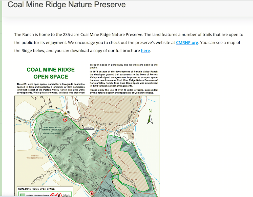
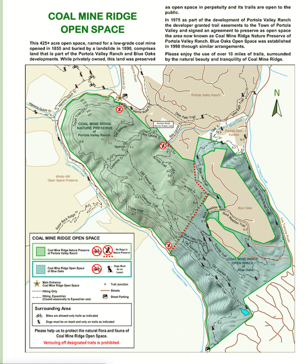
The small town of Portola Valley, nestled in the valley foothills of the Santa Cruz Mountains, maintains an unusual commitment to non-automotive transportation options. Pedestrian paths parallel main thoroughfares around town, and a few trails take scenic routes through less populated areas. Coal Mine Ridge Nature Preserve is owned by the Portola Ranch Homeowner's Association, and while the land is private property, trail use is permitted by town easement. Please remember to respect the property rights of the generous land owners who share their "park" with us, and do not wander off trail. Also note that dogs are not permitted in the nature preserve. Volunteers maintain this roughly oval parcel of land, with four main trails that create a series of loops through woods and oak grassland. There are no facilities, and parking can be tough. However, it's well worth overcoming any of these obstacles, for #CoalMineRidgeNaturePreserve is one of the best places to hike on the peninsula.
.
Coal Mine Ridge Nature Preserve comprises the 235 acre, northwestern section of Coal Mine Ridge Open Space. In 1975 as part of the development of #PortolaValley Ranch the developer signed an agreement to preserve this land as open space in perpetuity and grant trail easements to the Town so that the general public could enjoy its natural tranquility and beauty.
.
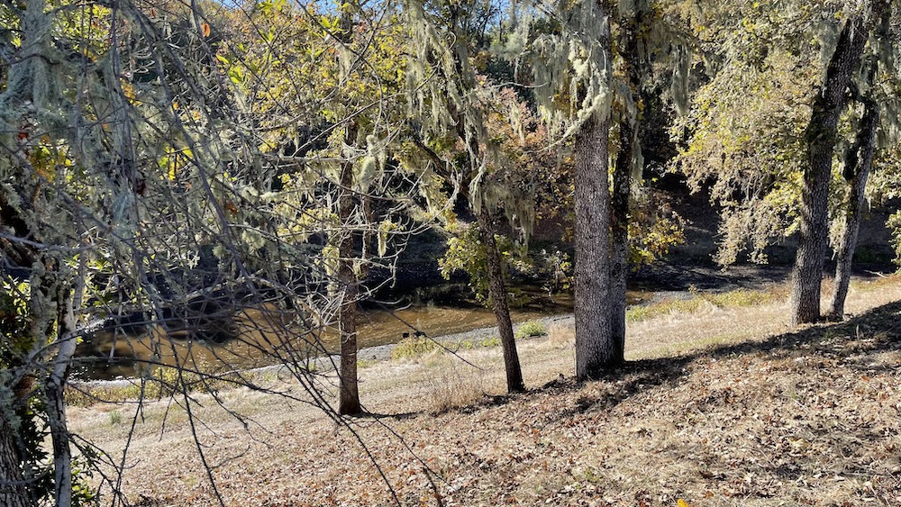
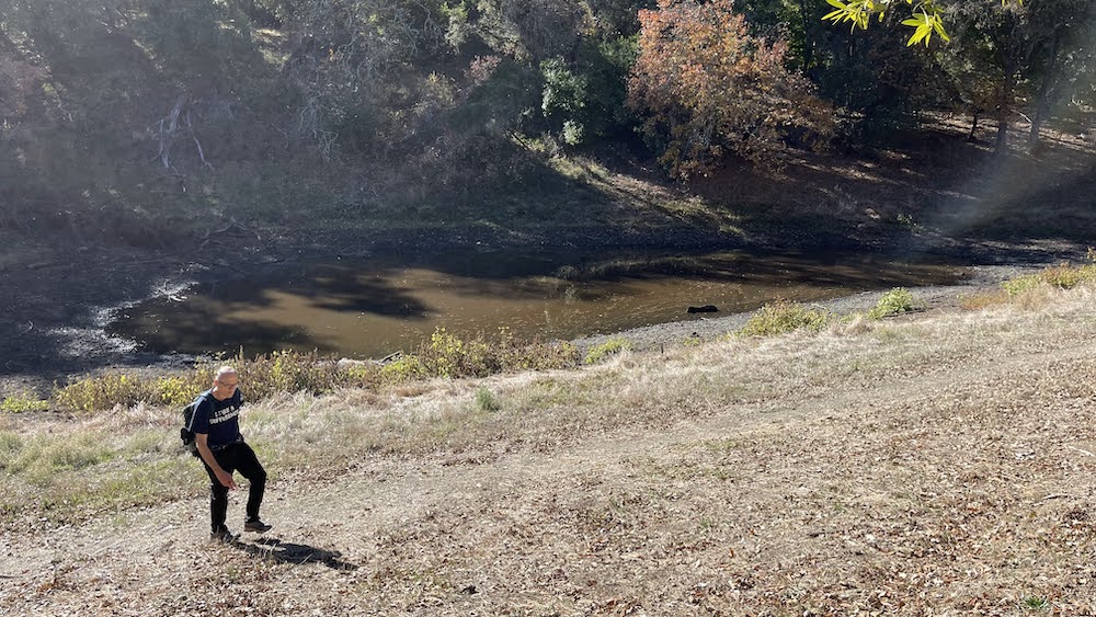
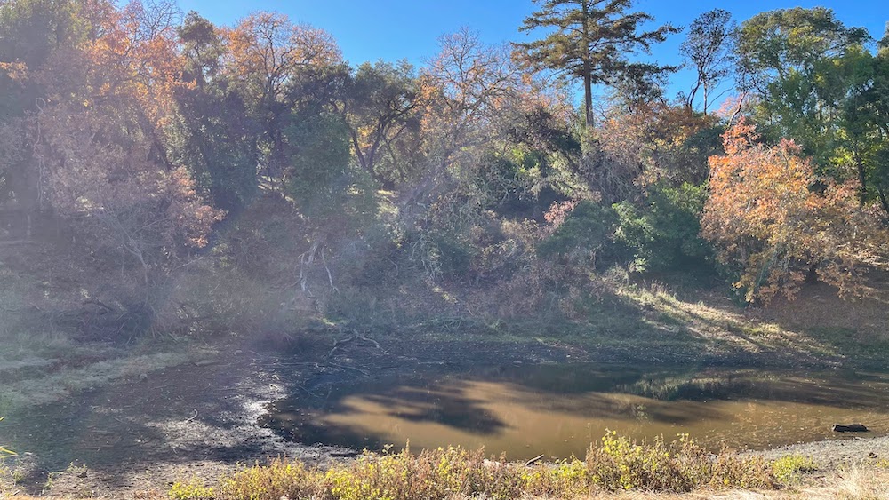
The original stewards of the ridge were the indigenous #Muwekma_Ohlone people. They relied on a close relationship with the land, observing the natural world around them as they gathered and harvested. They could be called the quintessential naturalists, passing on their knowledge through oral tradition, learning by doing, and teaching by example. Much has changed since then. The Coal Mine Ridge that you see today, bordered by Los Trancos and Corte Madera Creeks, takes its name from the 19th century search for minerals. However, the only coal found here was poor in quality, and a major landslide in 1890 buried the mine beyond recovery.
.
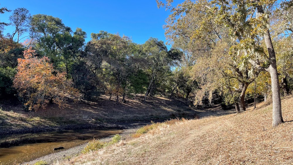
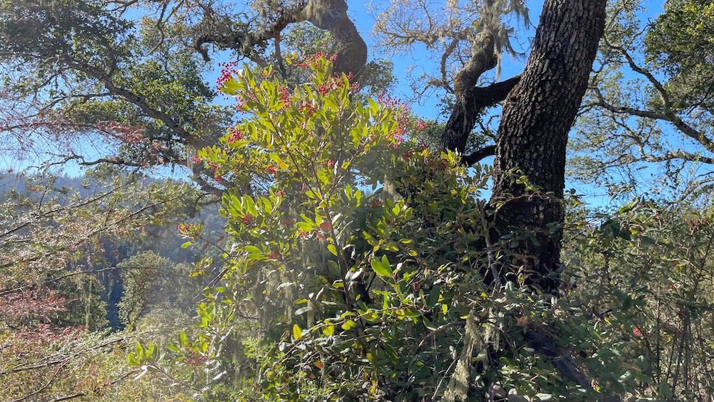
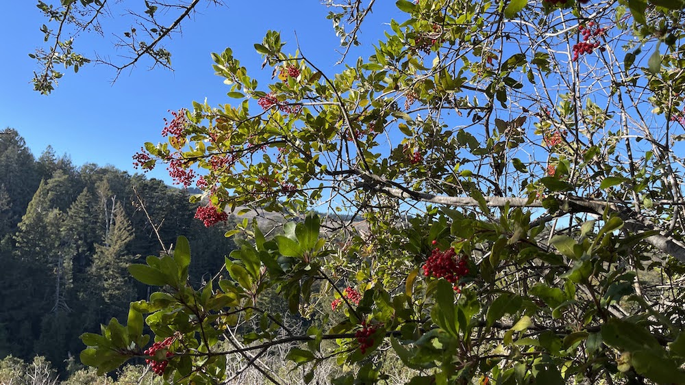
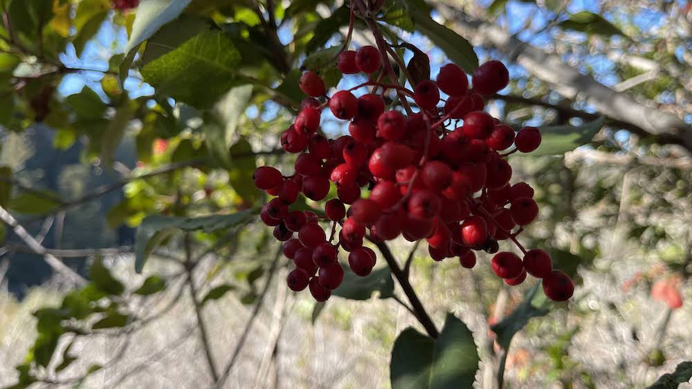
This isn't a preserve that shines only in one season. A mixed woodland harbors flowers in spring, and provides shade through the sultry days of summer. Paths are littered with fallen maple and black oak leaves in autumn. Winter rains wake up tiny dormant streams and return the green to grassland. If you like to study bay area plants, you'll find a lot to look at here, all year round.
.
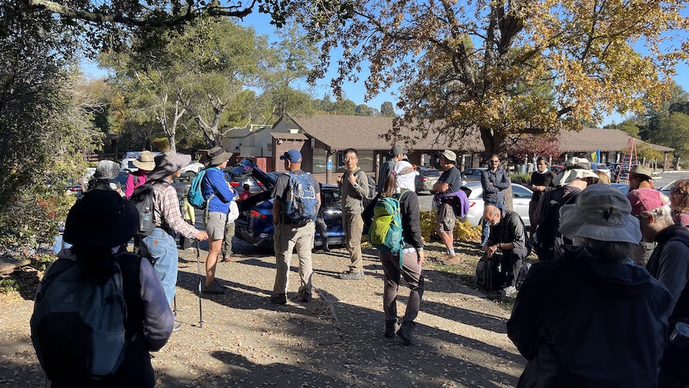
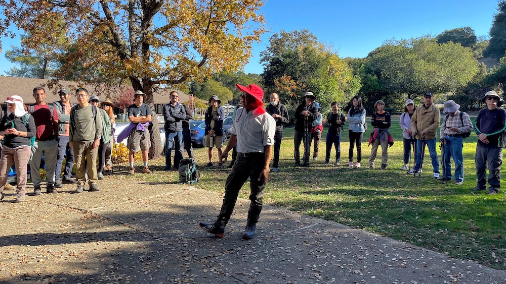
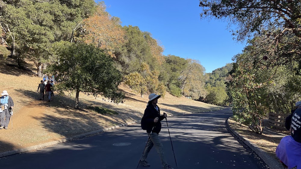
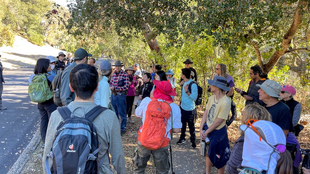
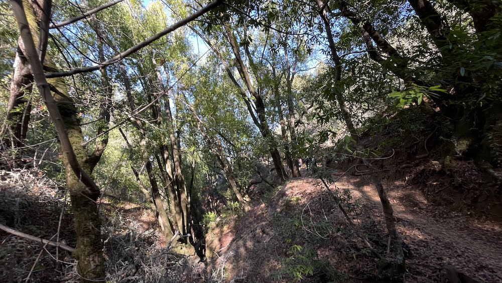
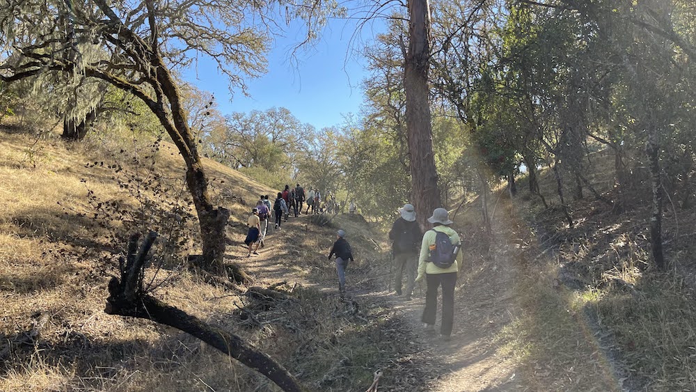
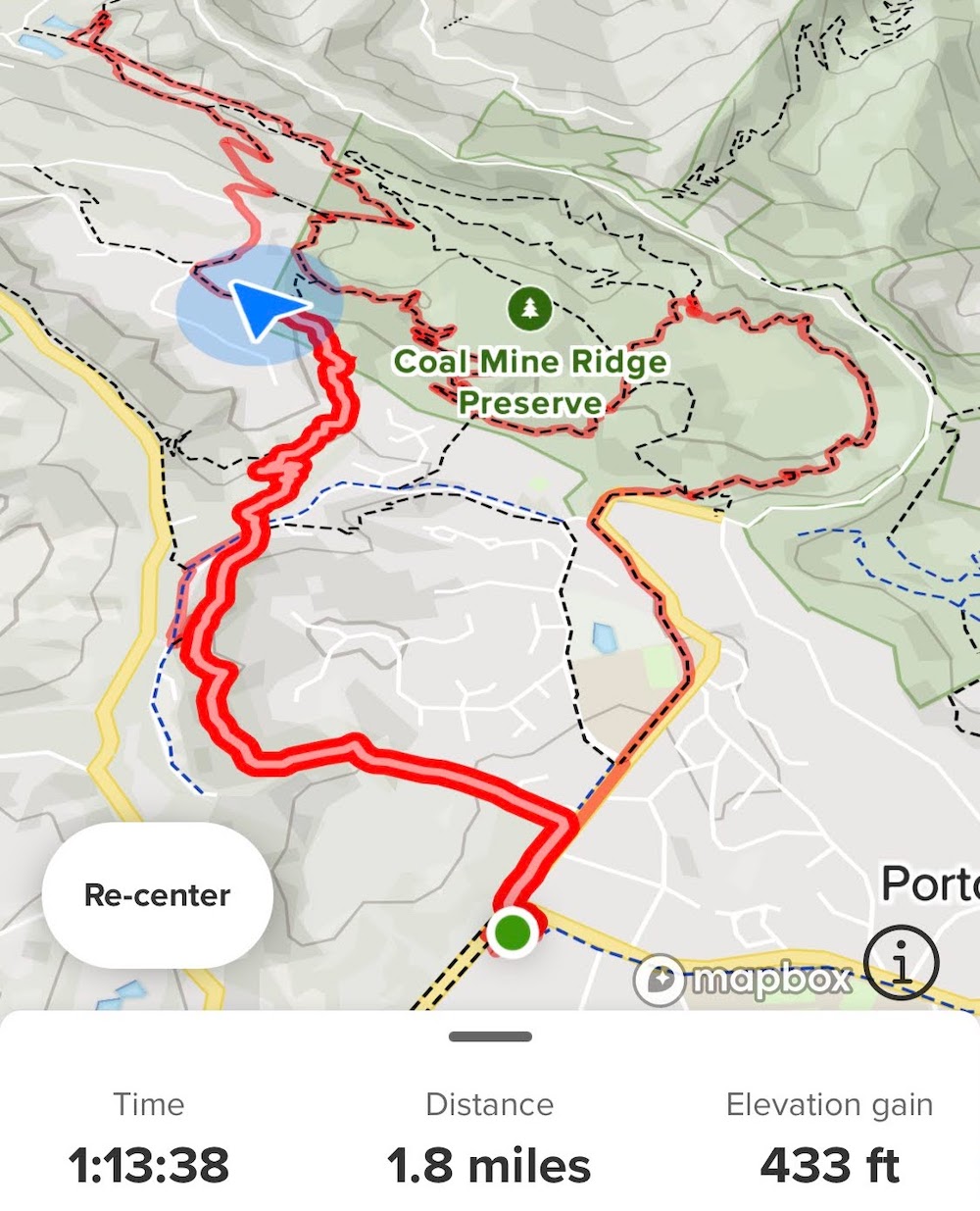
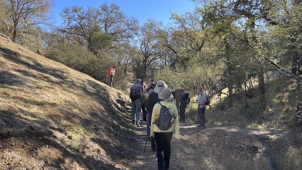
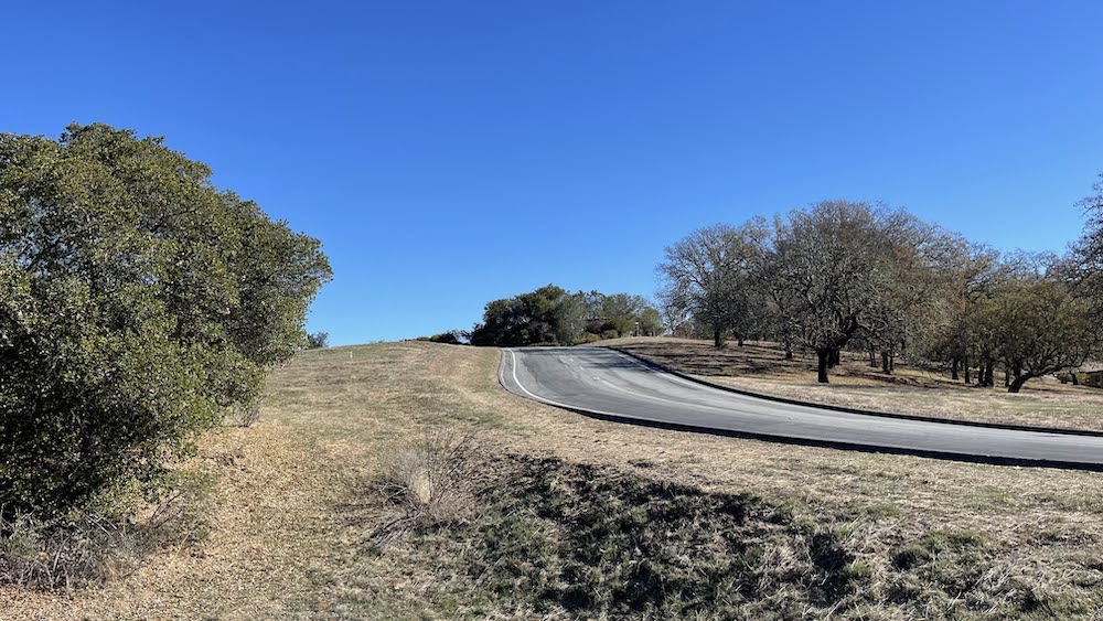
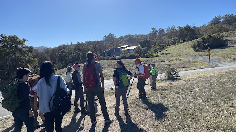
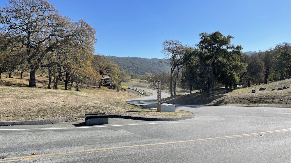
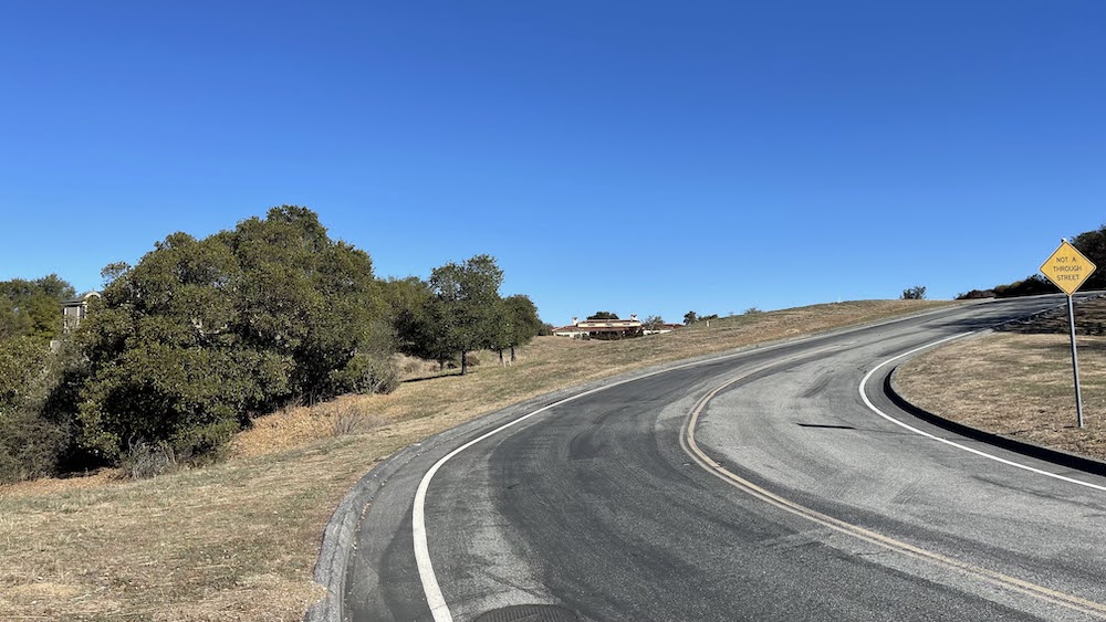
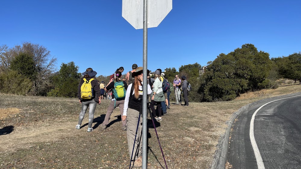
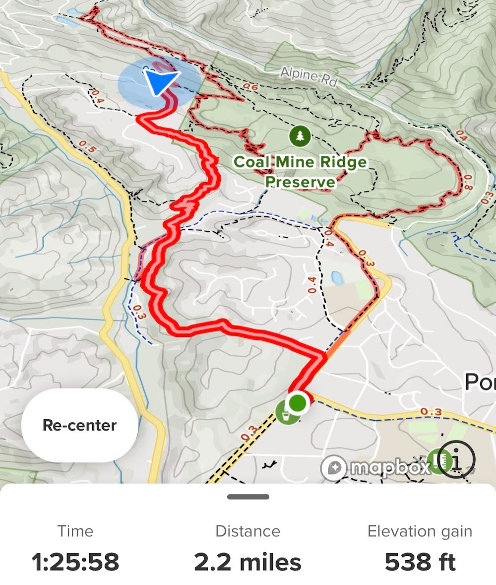
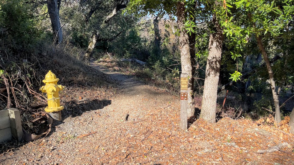
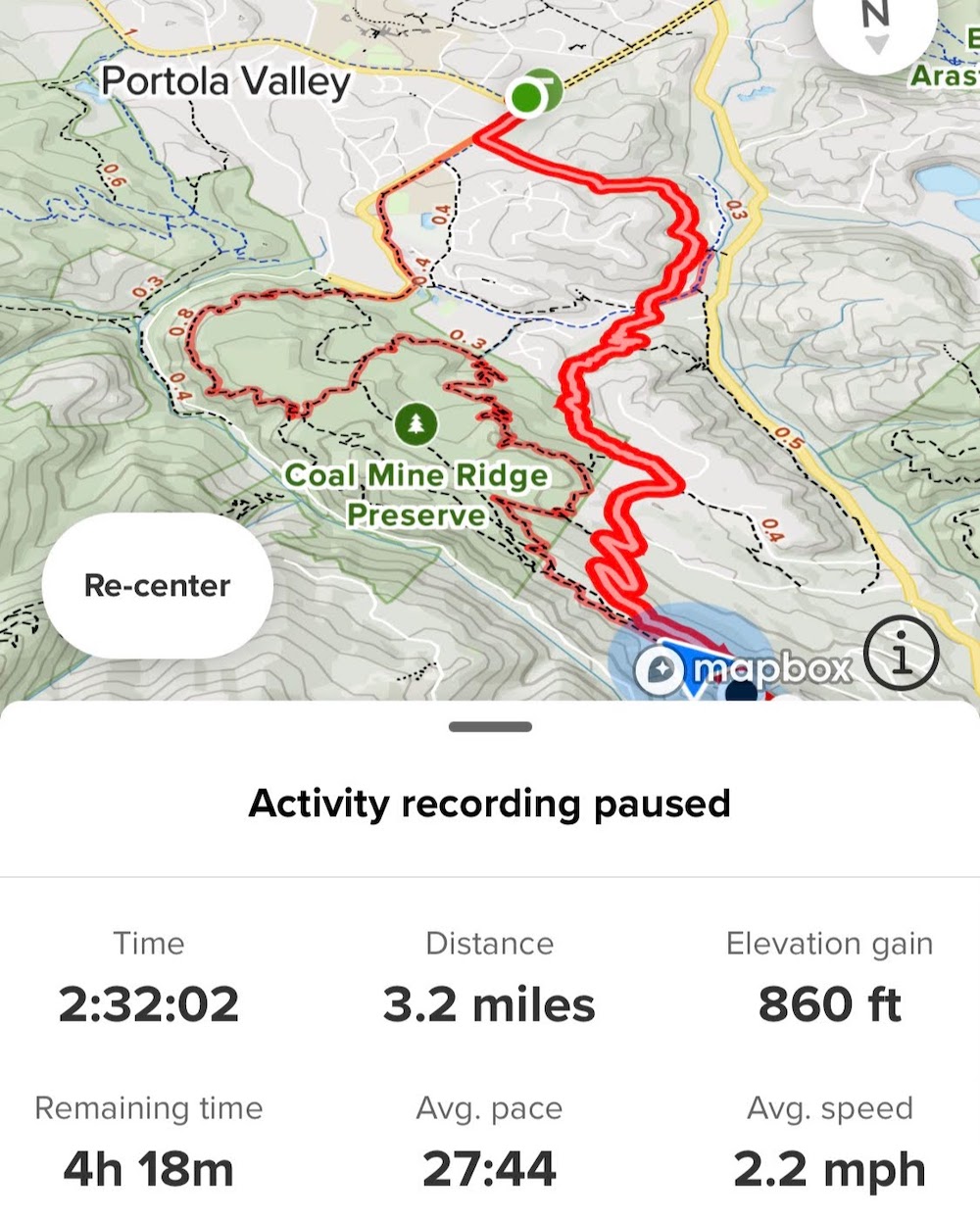
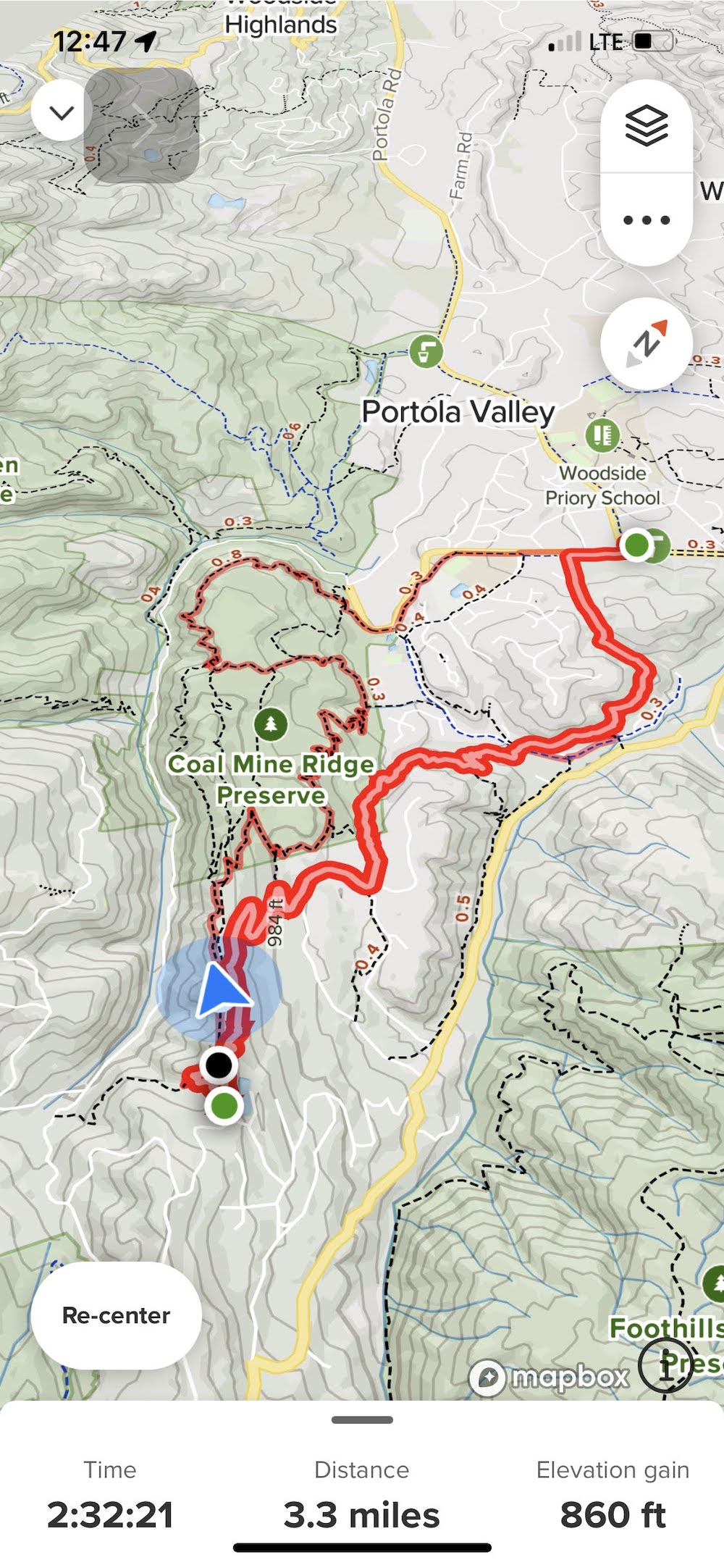
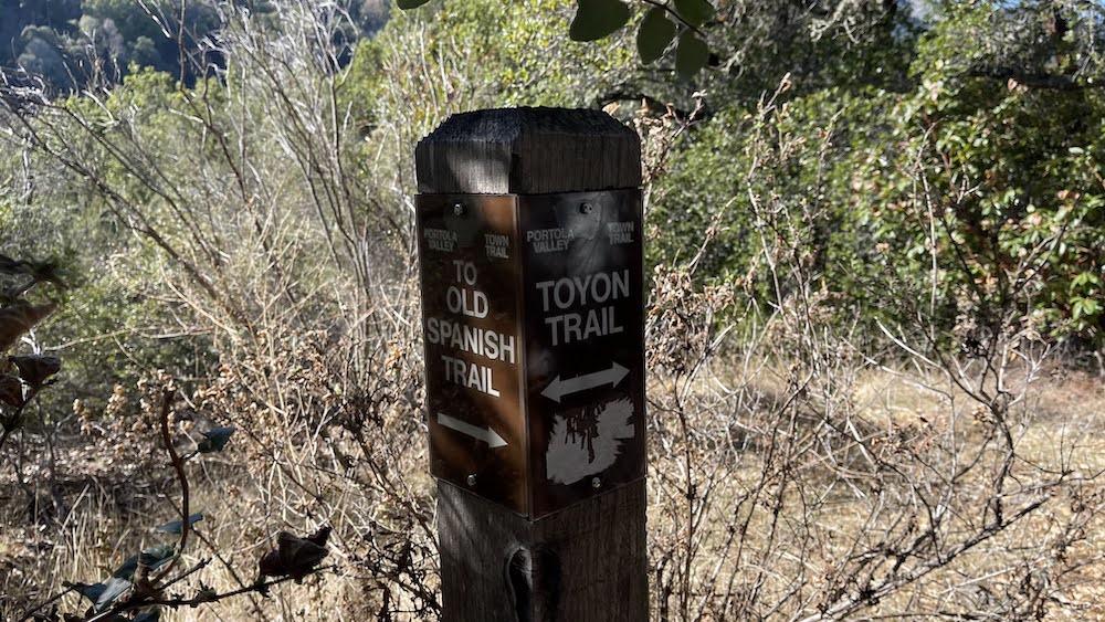
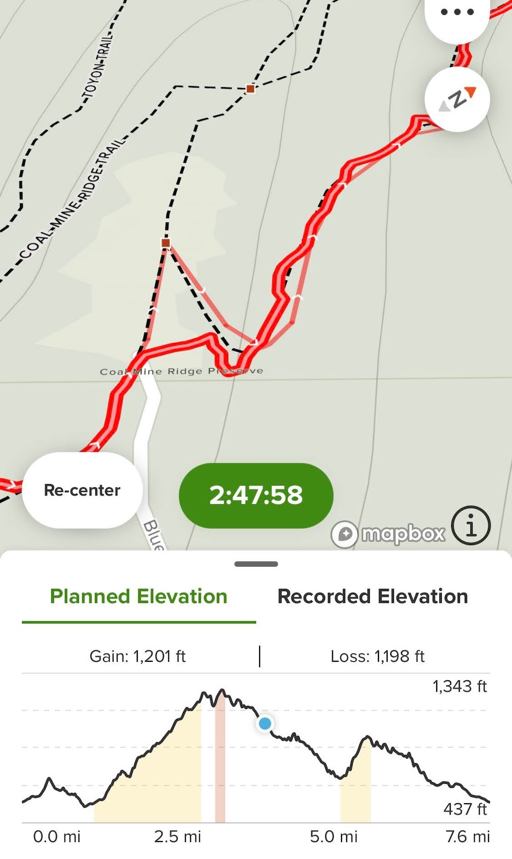
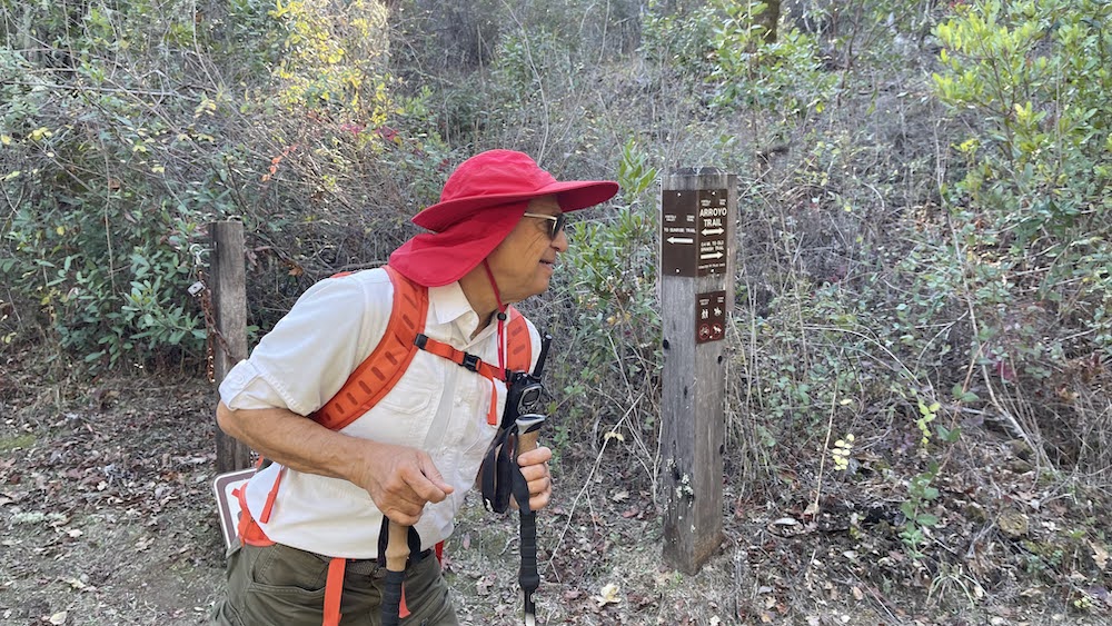
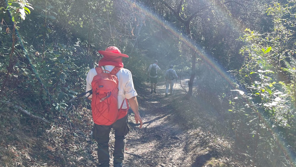
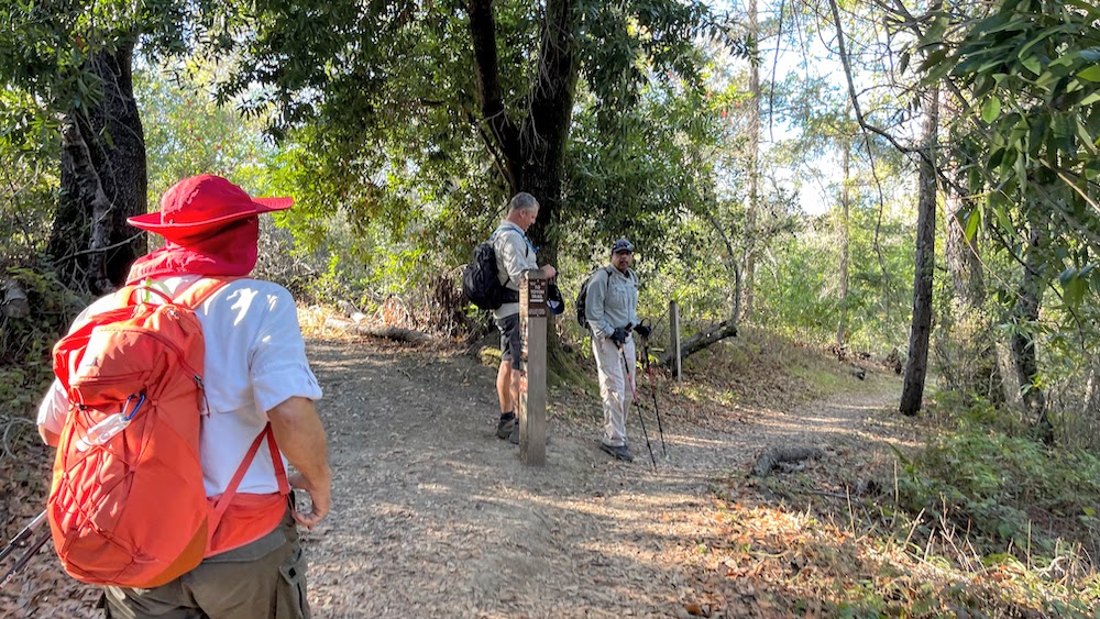
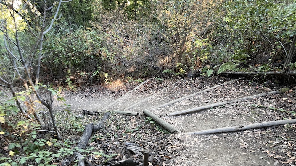
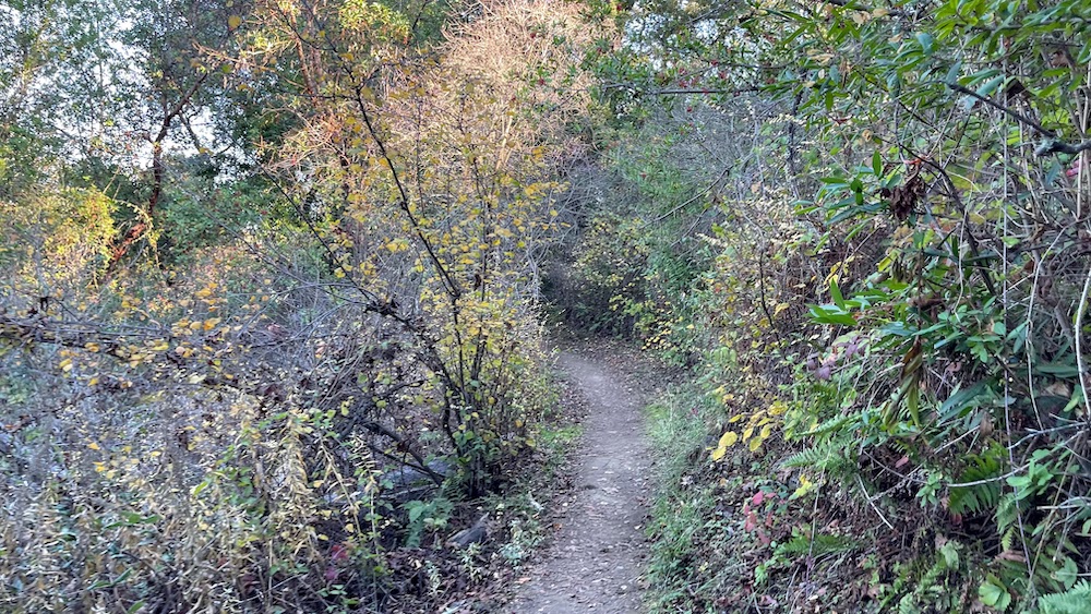
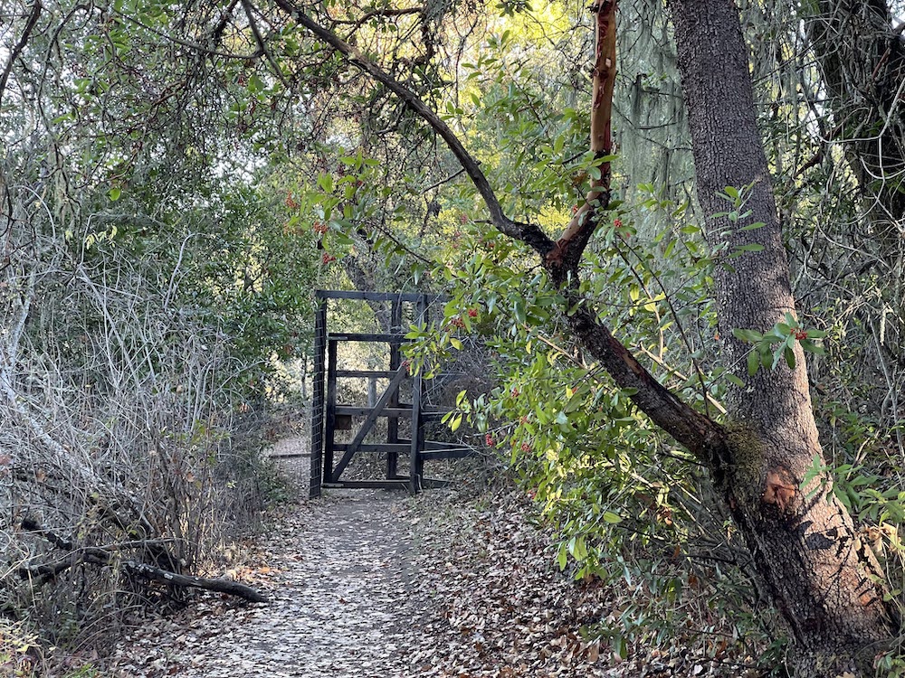
Start at the broad pullout on Alpine Road. Walk toward Willowbrook Drive and carefully cross the street. Alpine Trail, open to hikers and equestrians only, starts at the signed trailhead and climbs easily under the shade of California bay, buckeye, madrone, and black oak. In the understory look for currant, thimbleberry, blackberry, snowberry, and poison oak. At about 0.1 mile, Alpine Trail steps out of the shade and meets Toyon Trail at a signed junction. Turn right onto Toyon Trail.
.
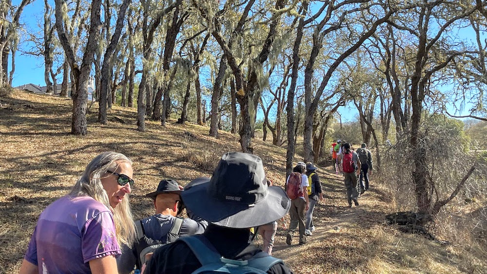
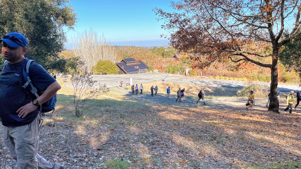
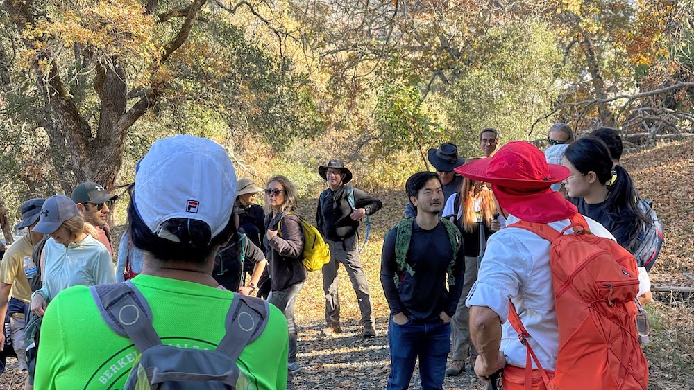
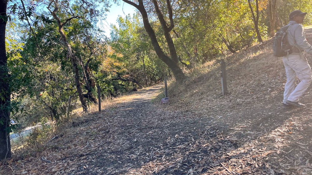
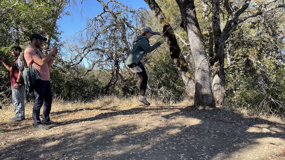
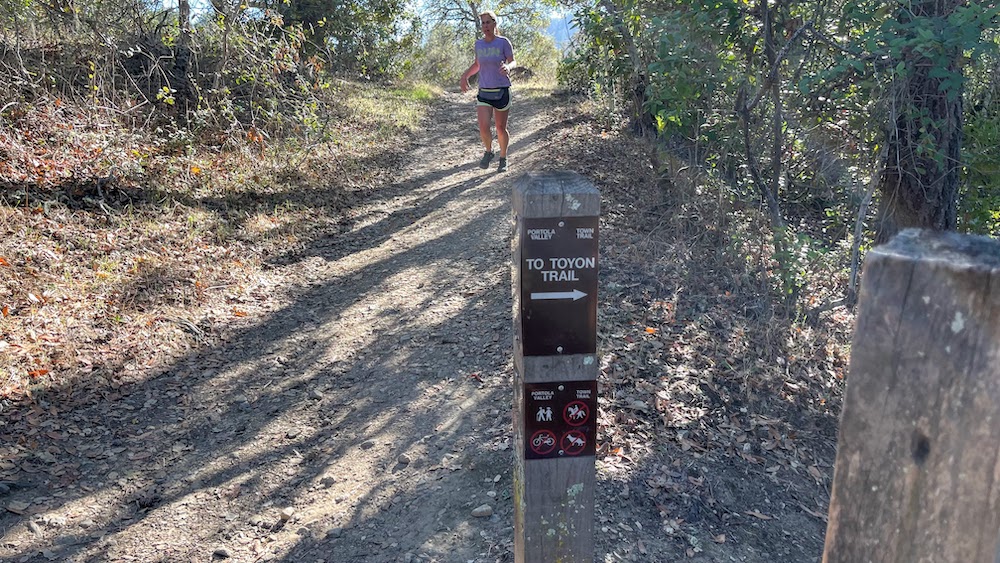
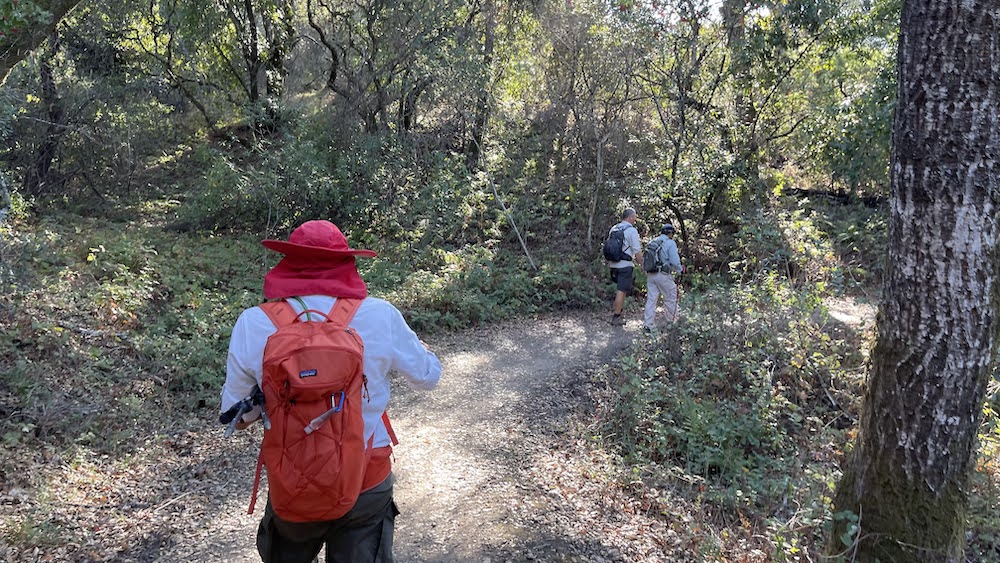
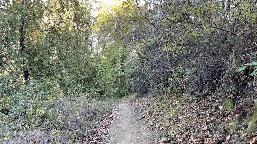
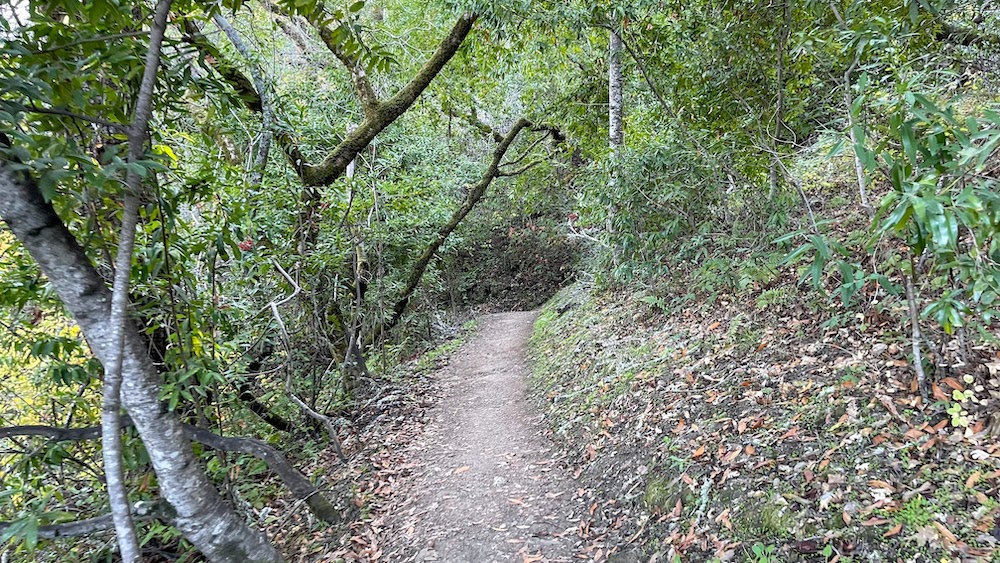
The narrow hiking-only trail heads back into the woods. In addition to previously encountered California bay, buckeye, madrone, and black oak, coast live oaks are common, and you also might see big leaf maple (most conspicuous in autumn). Other trailside plants include gooseberry, honeysuckle, wood rose, clematis, ceanothus, California coffeeberry, and creambush. Hazelnut is abundant; look for the nuts in early summer. Late winter flowers include milkmaids, hound's tongue, and trilliums. Toyon Trail angles along the hillside at a mostly level pace, with a somewhat steep drop-off to the right permitting some sweeping views west where there are breaks in vegetation. The grassy slopes of Windy Hill are prominent, bordered to the north and south with forests of Douglas fir. Although Alpine Road is not visible, there is some attendant noise from the street and nearby houses. Rough benches, placed in intervals along the trail, provide nice places for a rest break. A rustic bridge replete with a rope handrail crosses a seasonal creek. Soon after, at about 1 mile, Toyon Trail reaches a signed junction with a trail connecting to Coalmine Trail. Continue straight on Toyon Trail.
.
+++


반응형
'1. Dr. Sam Lee > 여행스케치' 카테고리의 다른 글
| 126. Lake Chabot Regional Park Hiking, California (0) | 2022.12.11 |
|---|---|
| 125. Fungus Federation of Santa Cruz - 2022 Albion I Foray December (0) | 2022.12.07 |
| 123. Palo Alto to San Francisco, Muni Train (0) | 2022.11.24 |
| 122. Mt Madonna County Park, Santa Clara County (0) | 2022.11.21 |
| 121. Seoul, Hyundai Premium Outlets Gimpo, Songdo International Business District (0) | 2022.11.12 |