
반응형
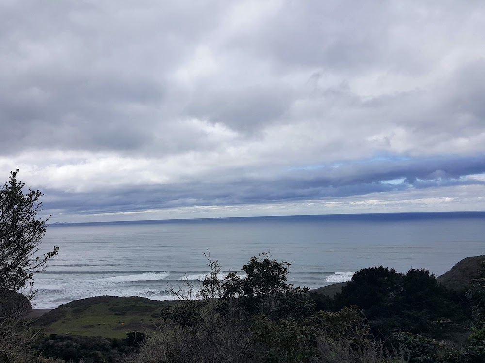
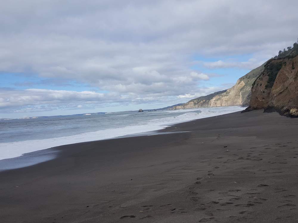
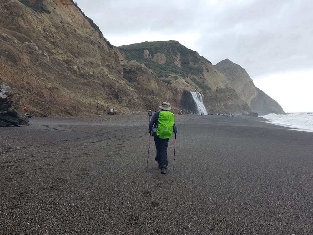
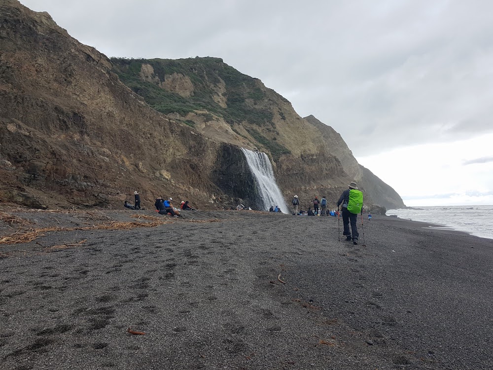
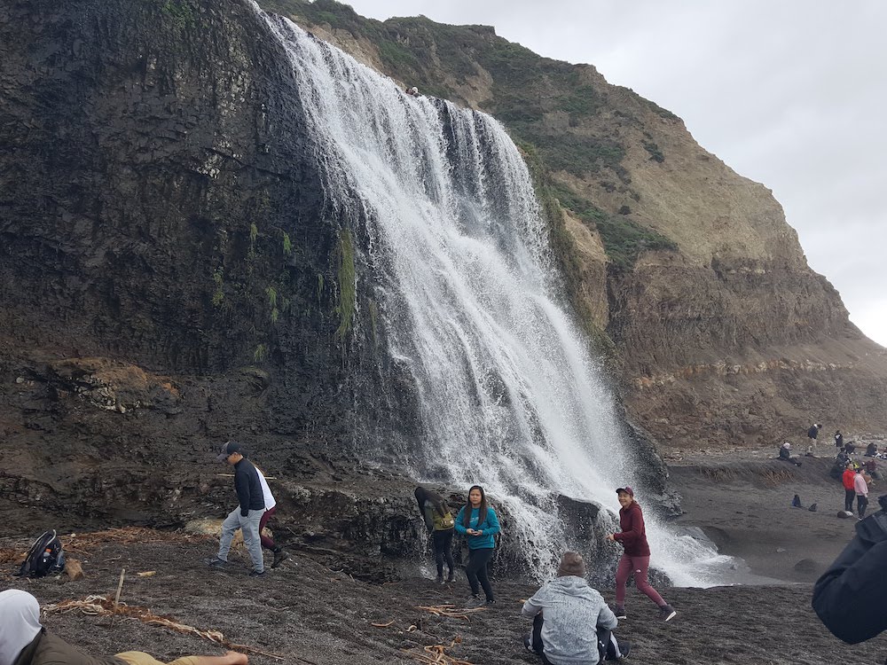
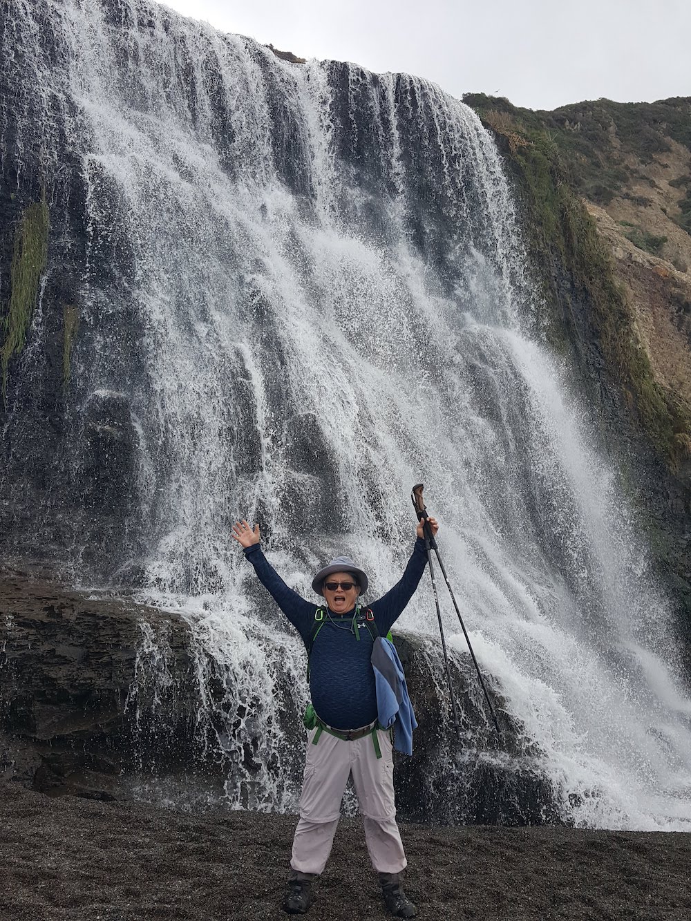
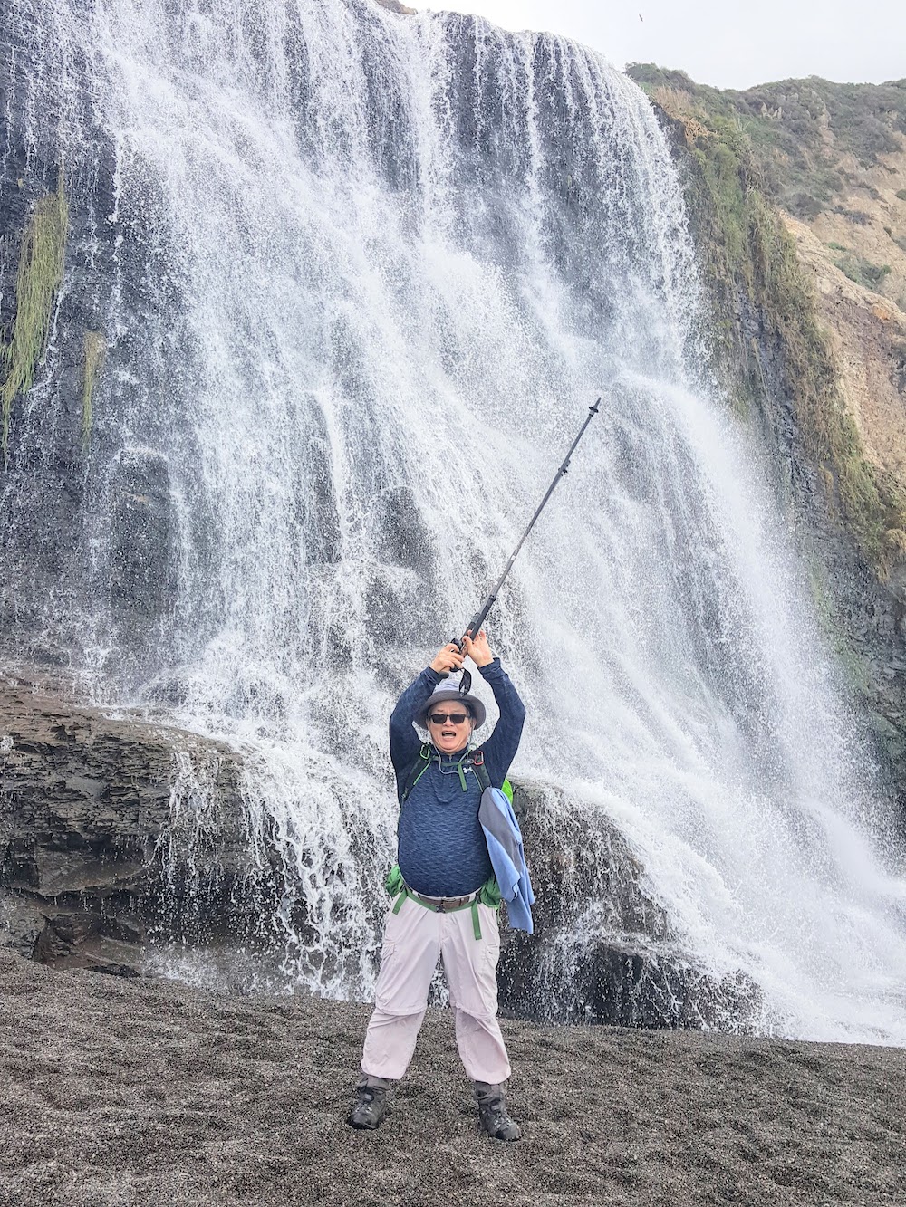
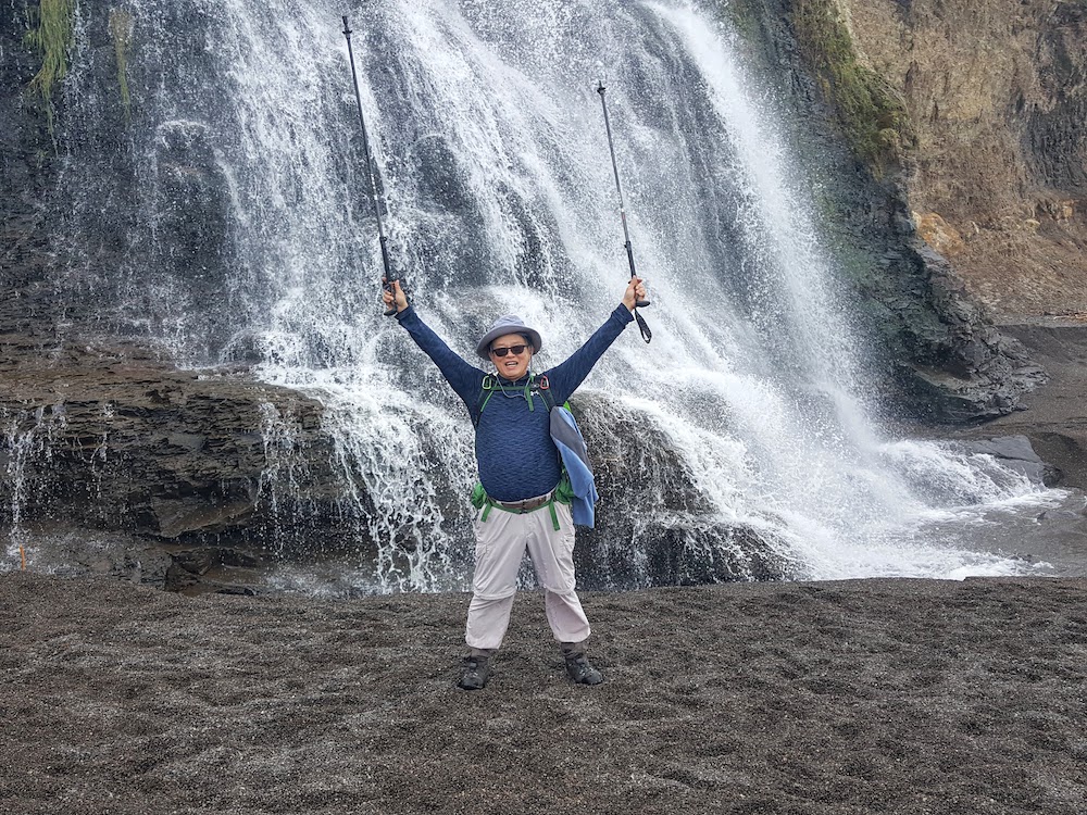
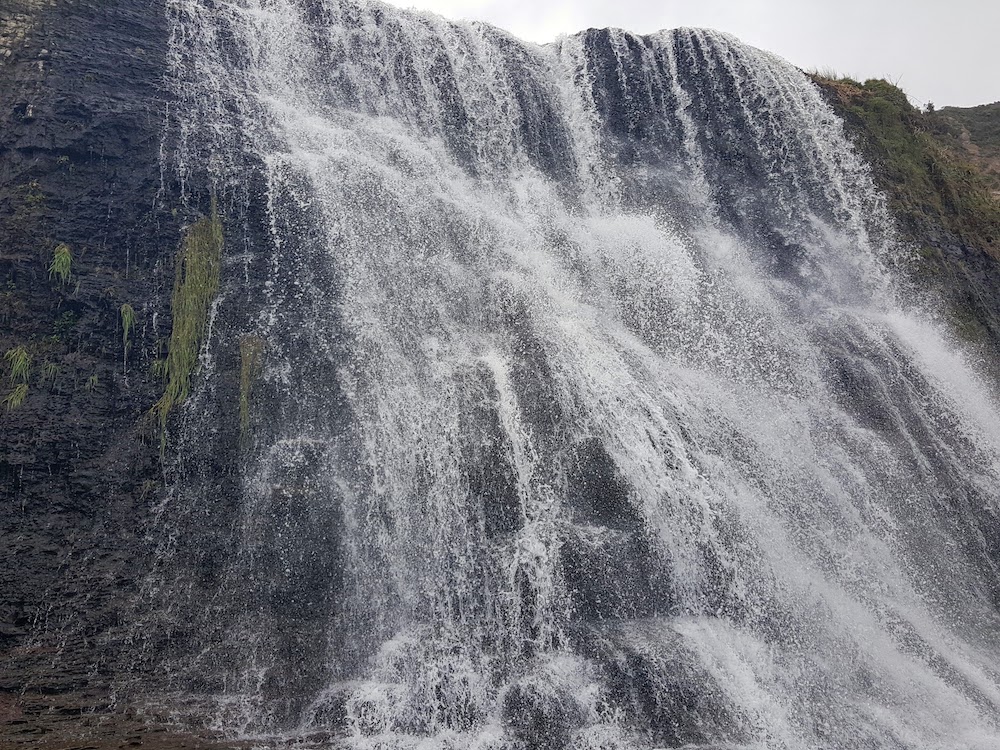
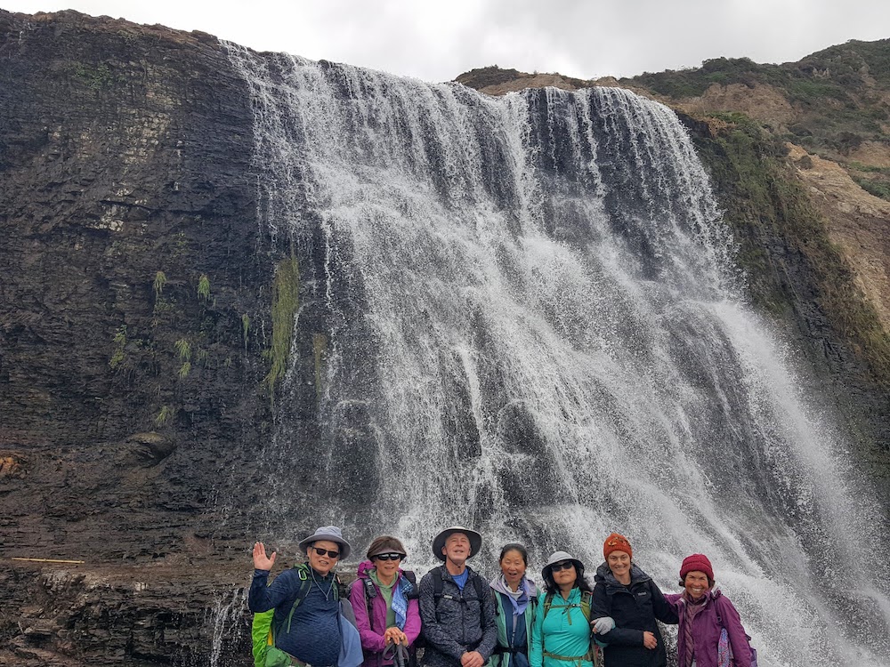
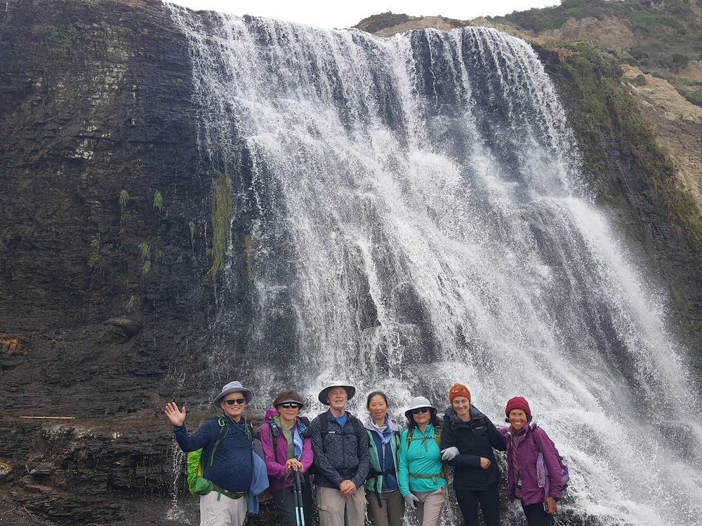
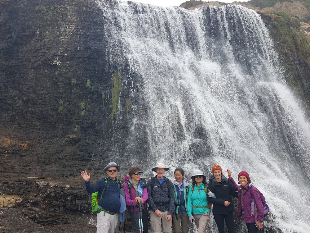
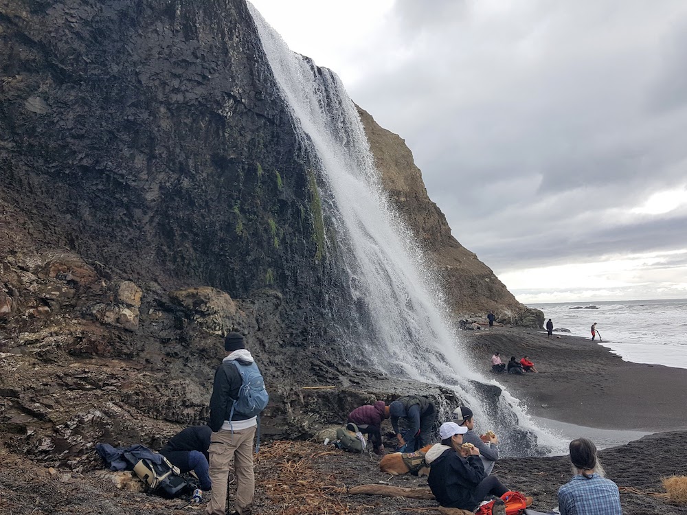
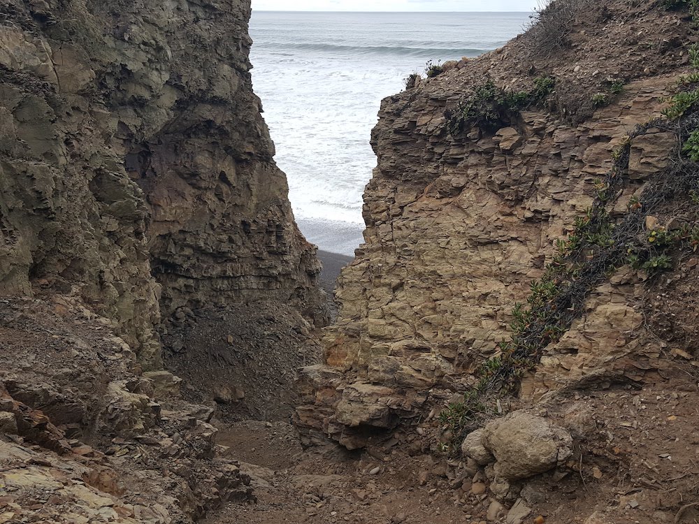
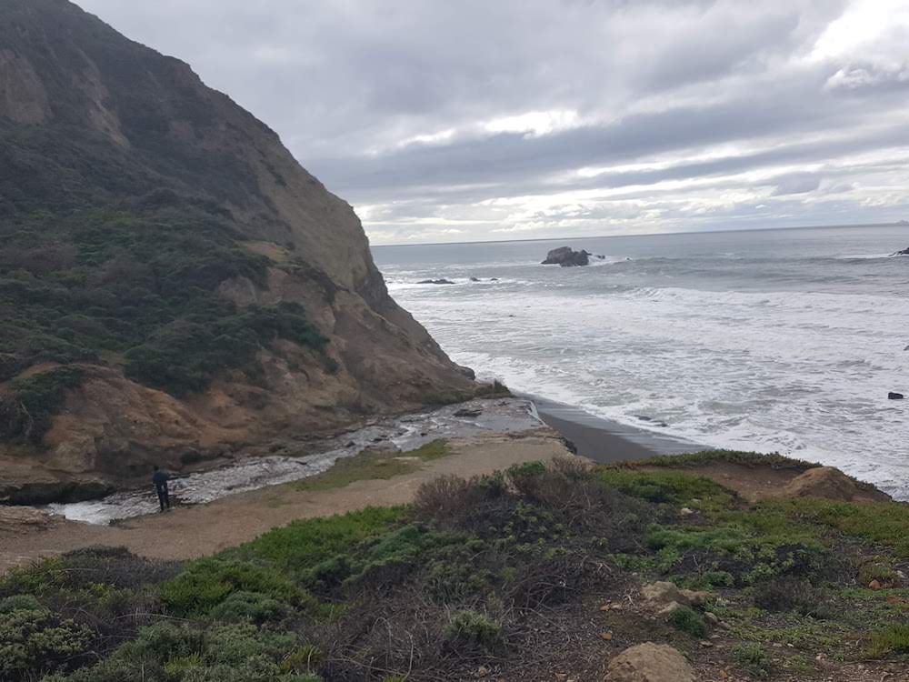
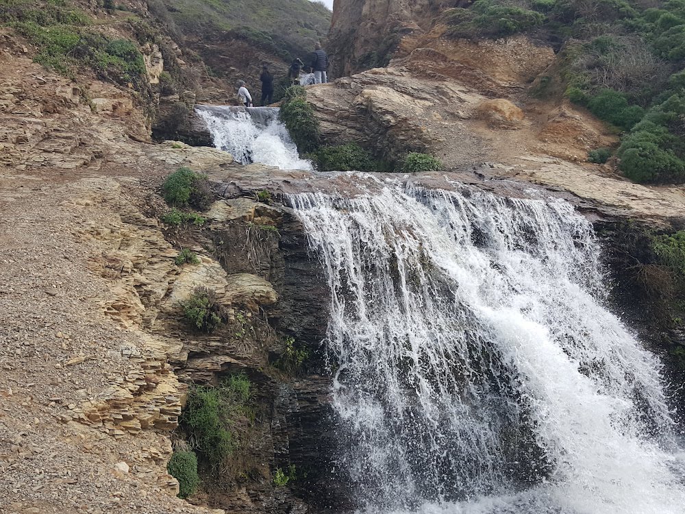
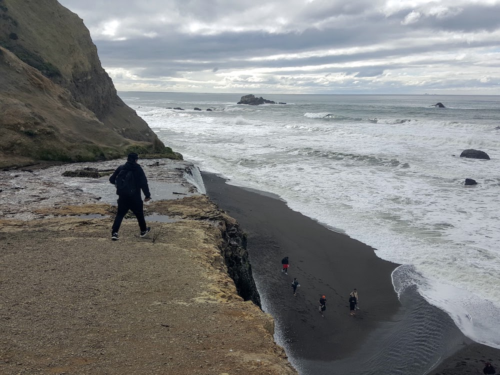
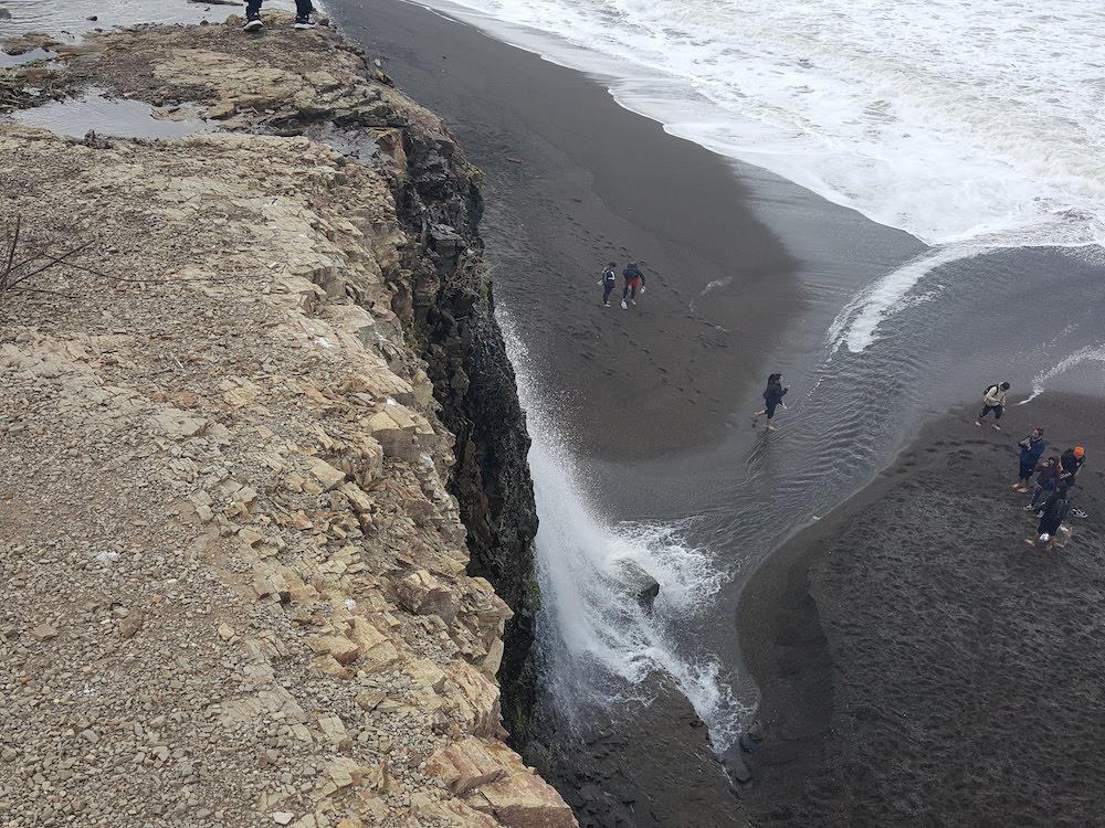
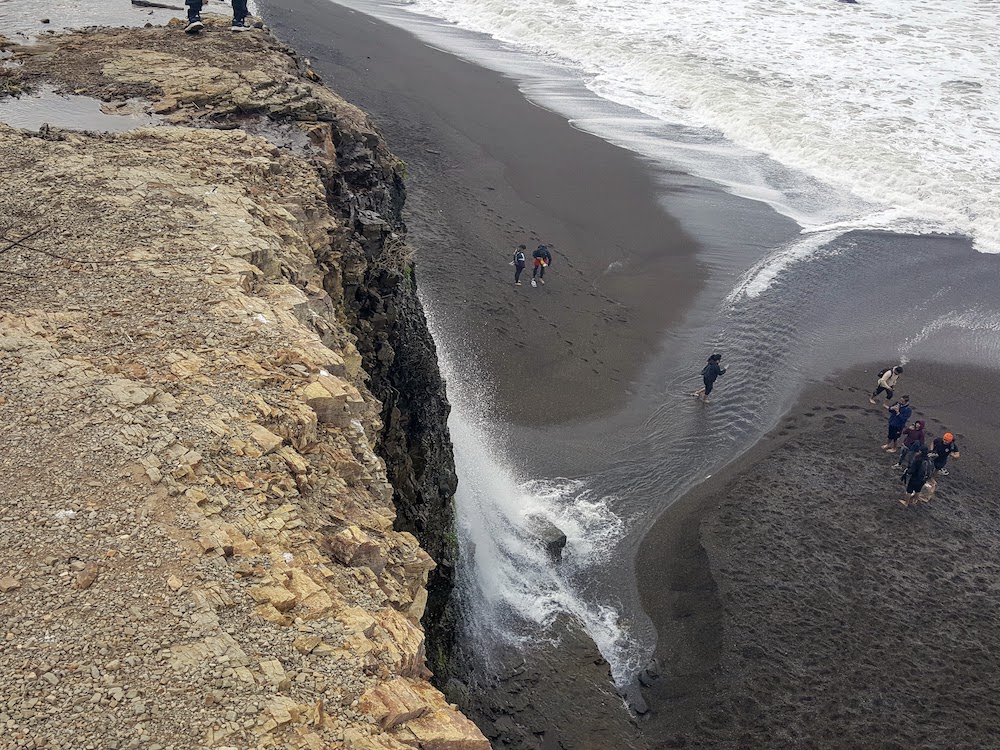
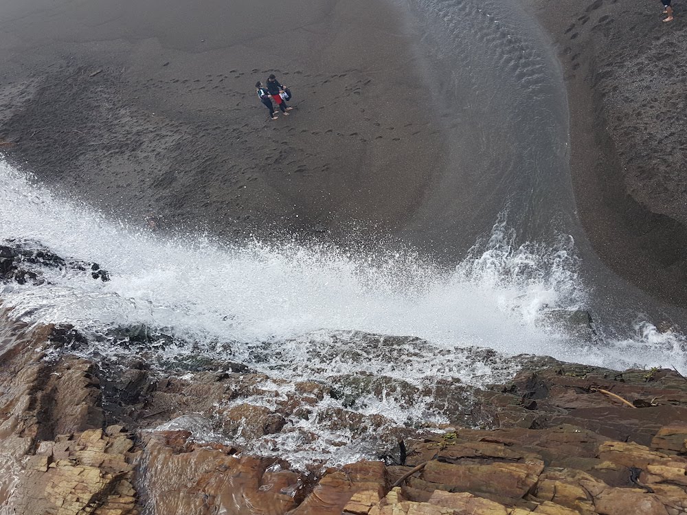
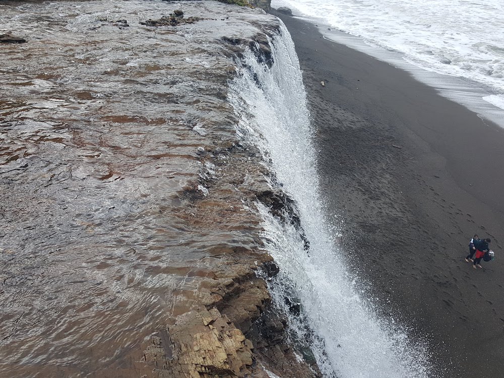
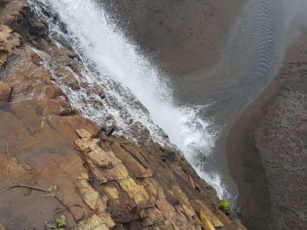
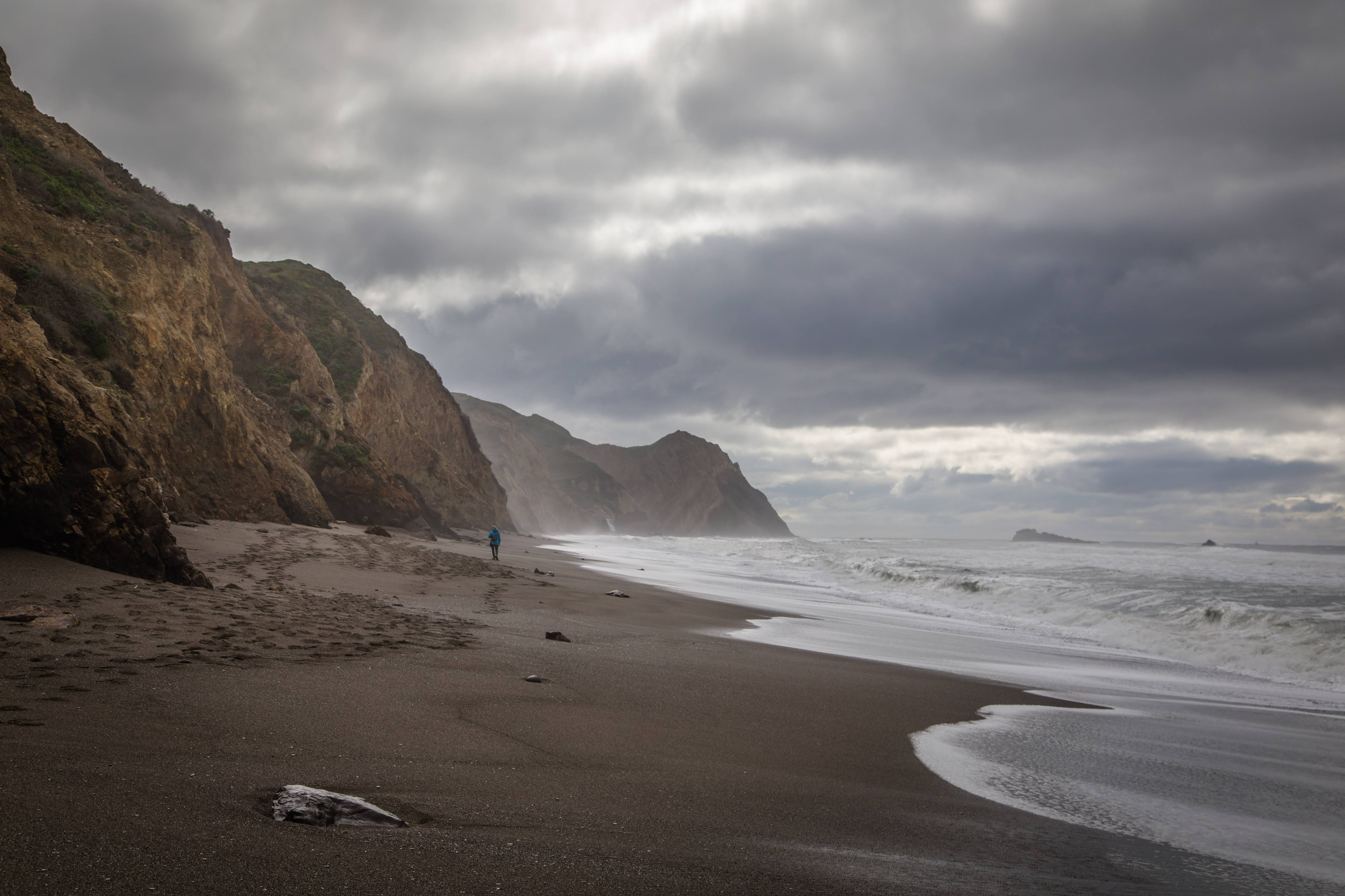
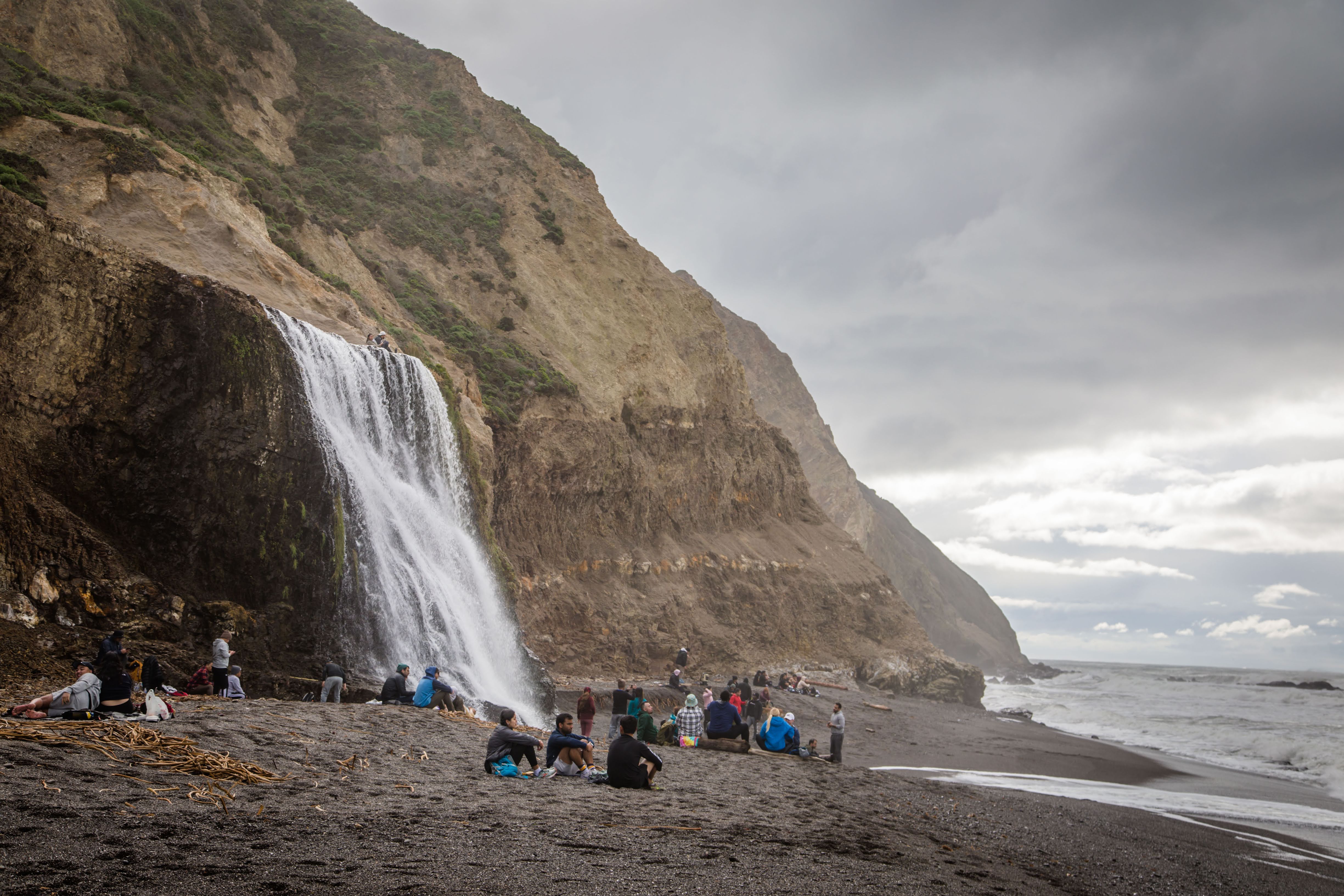
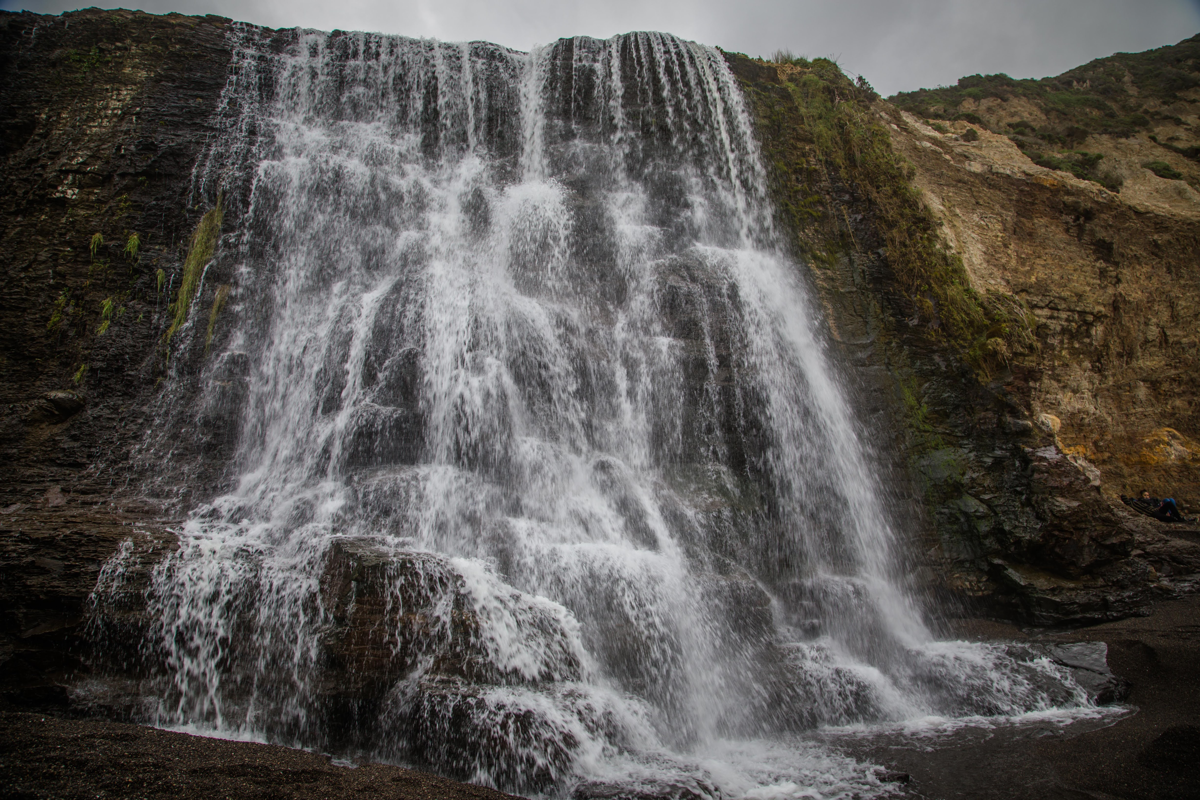
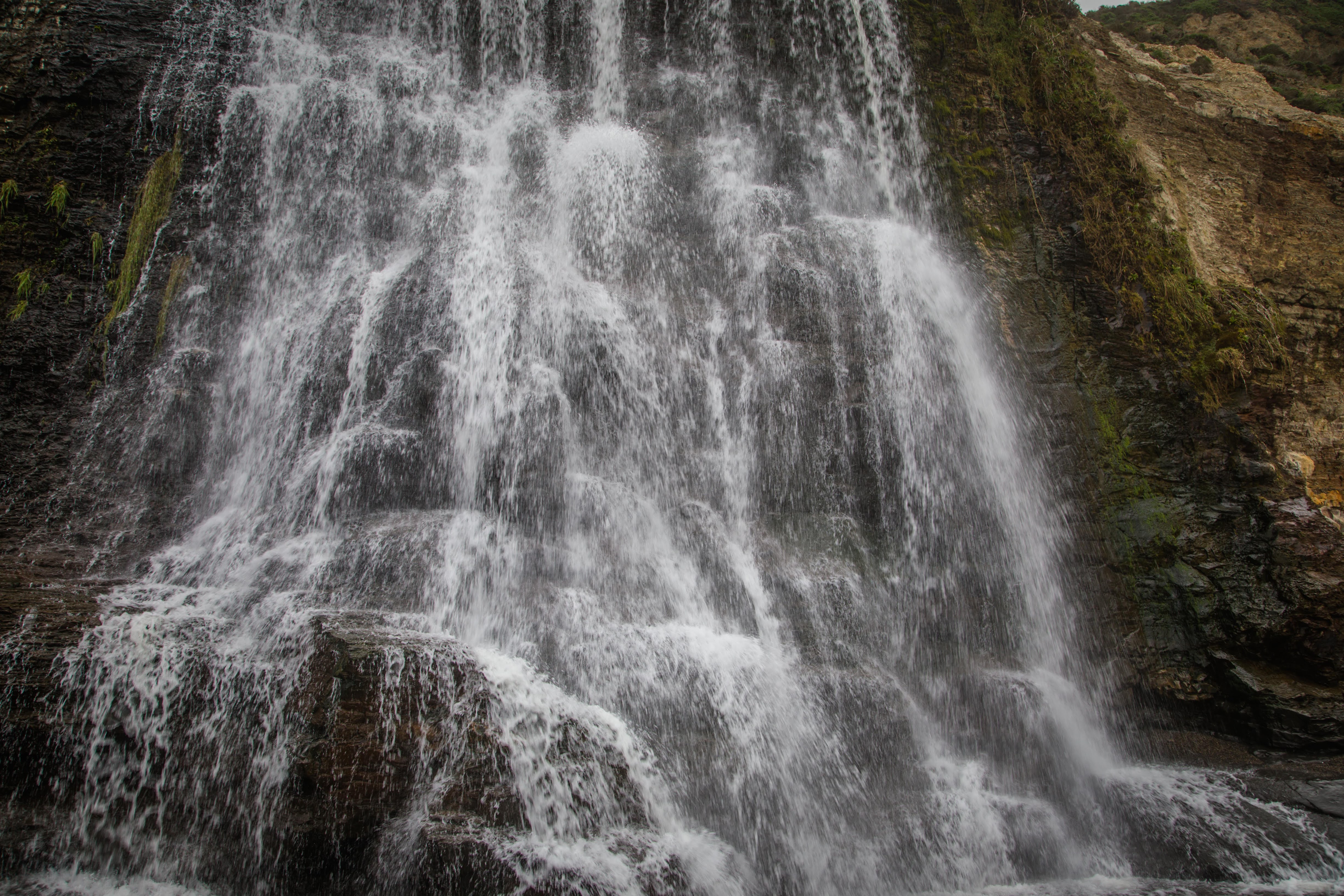
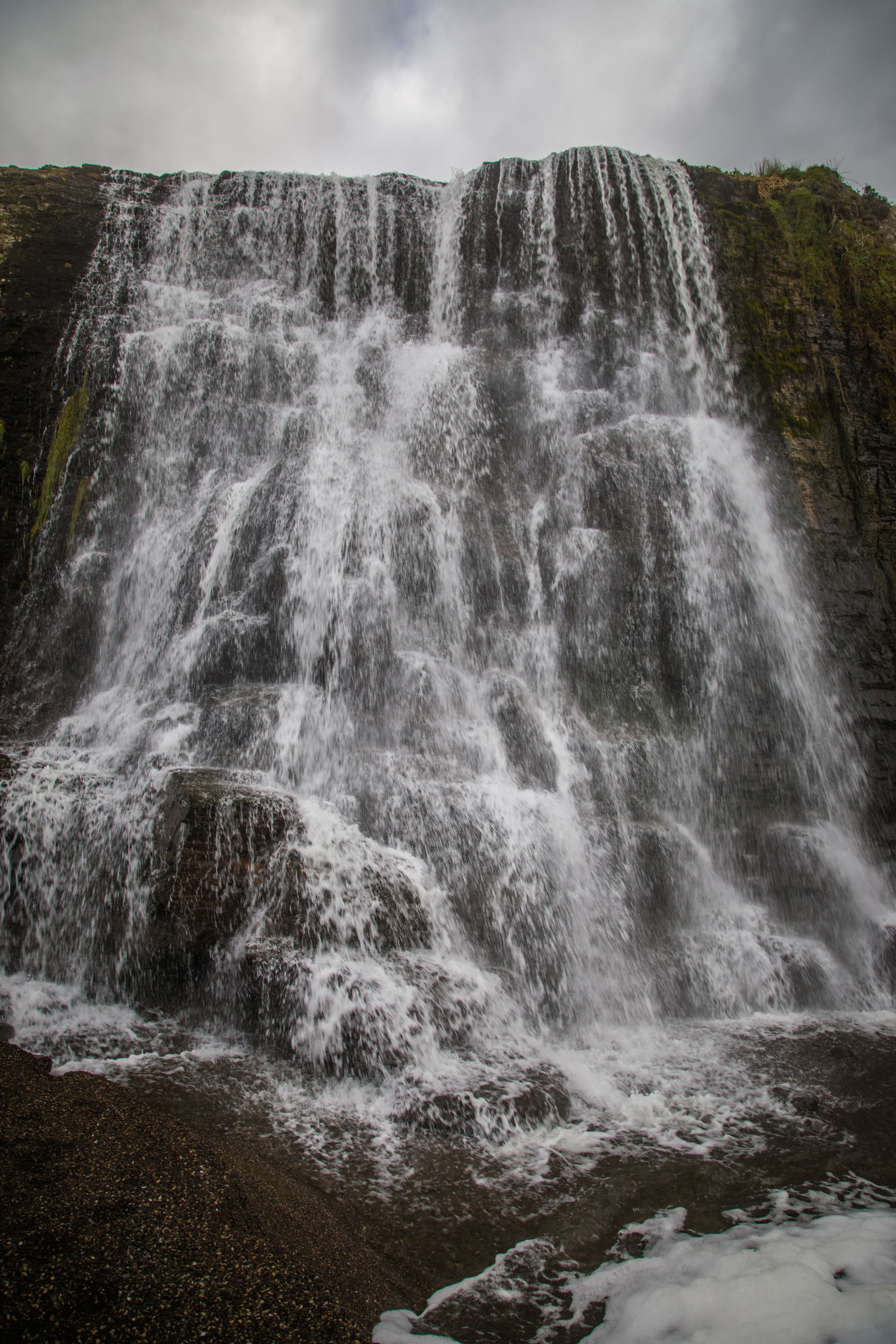
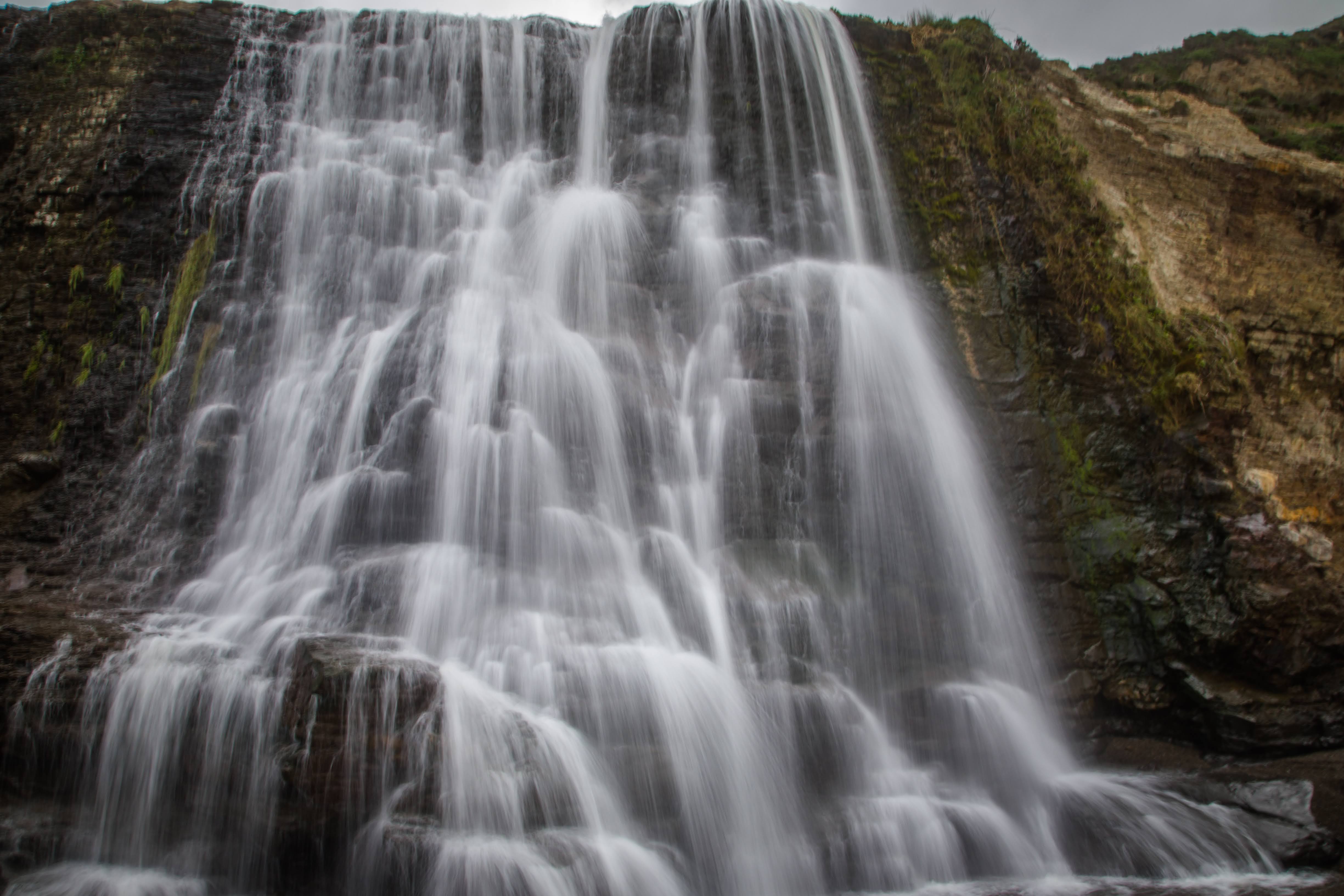
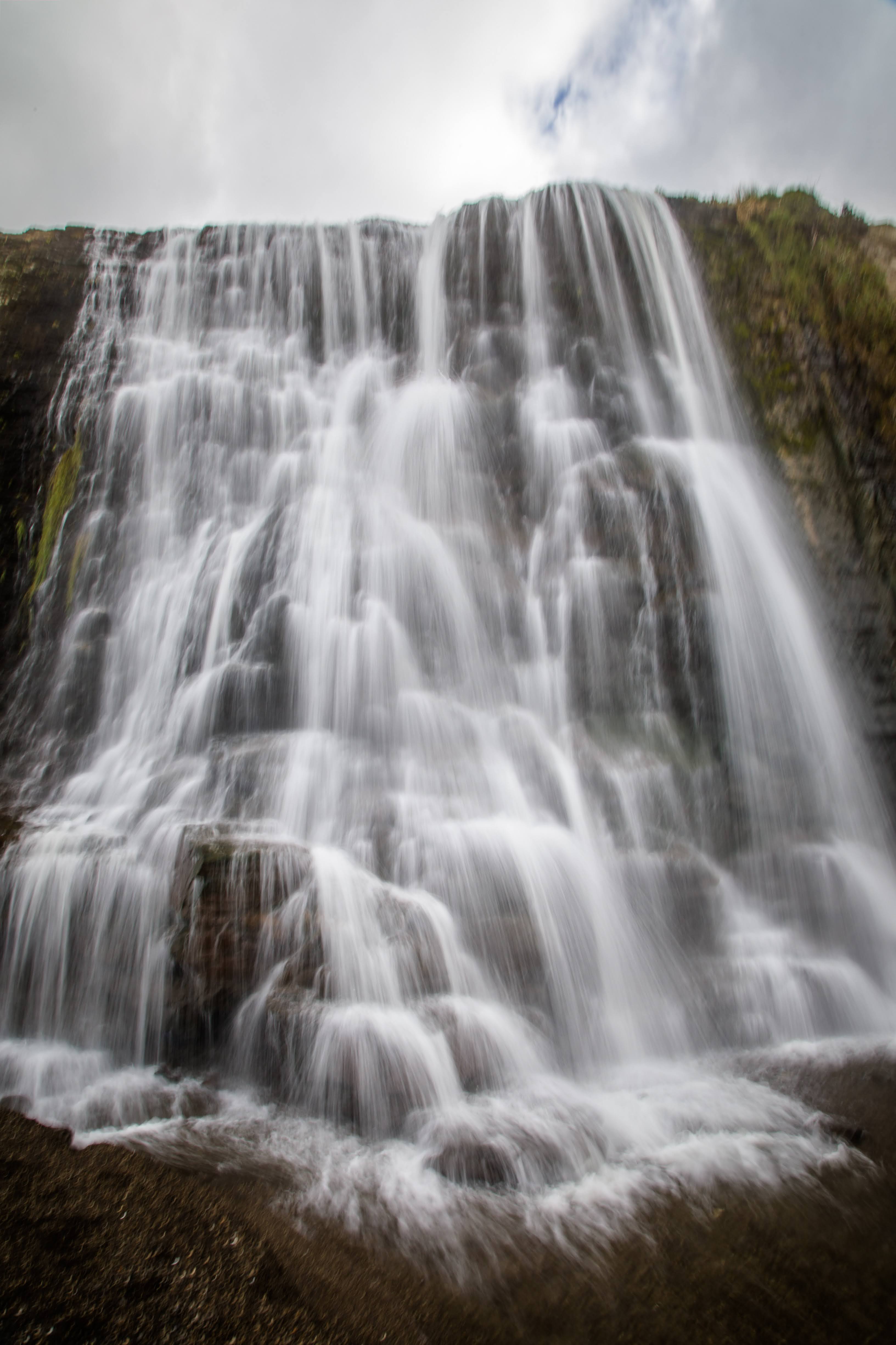
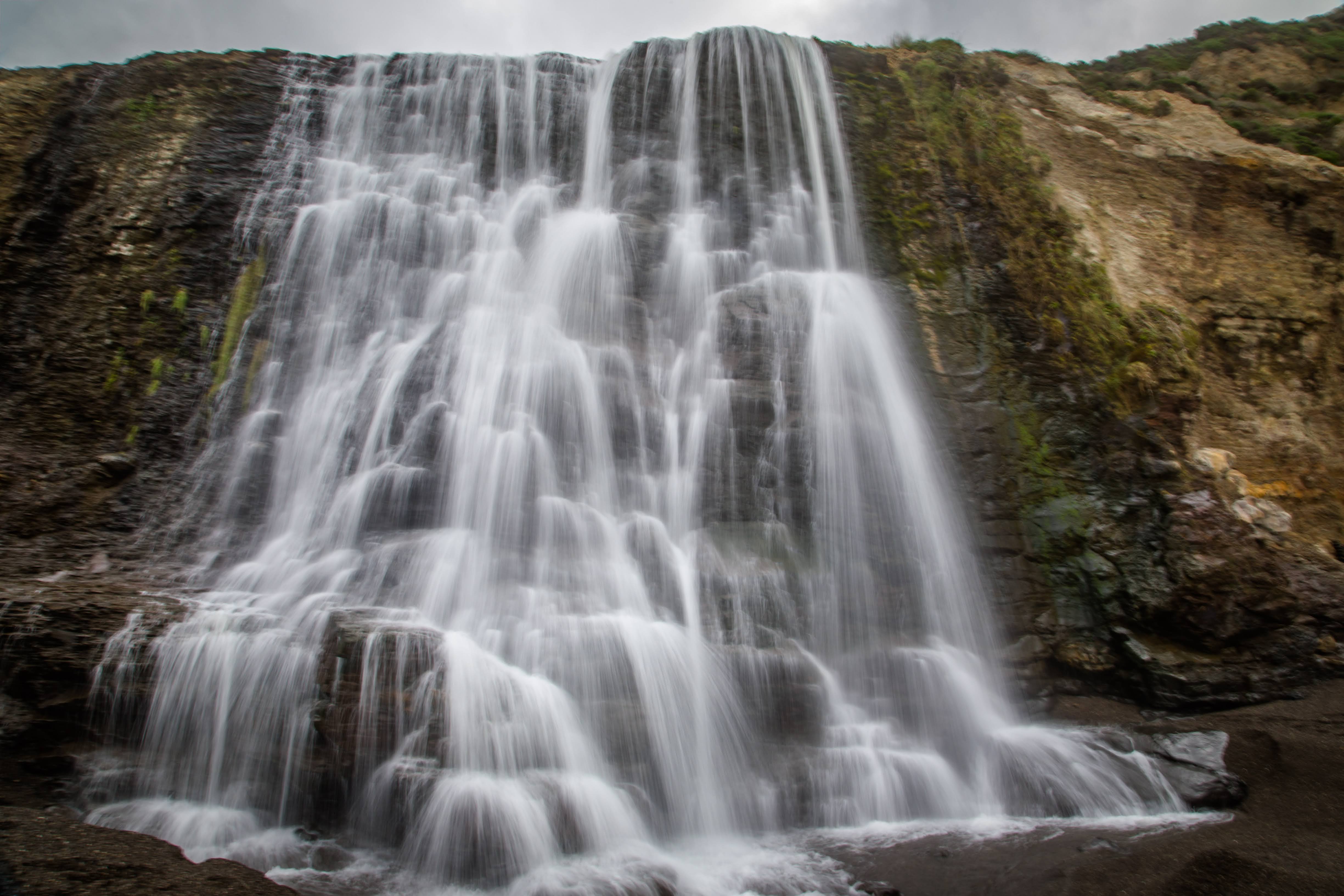
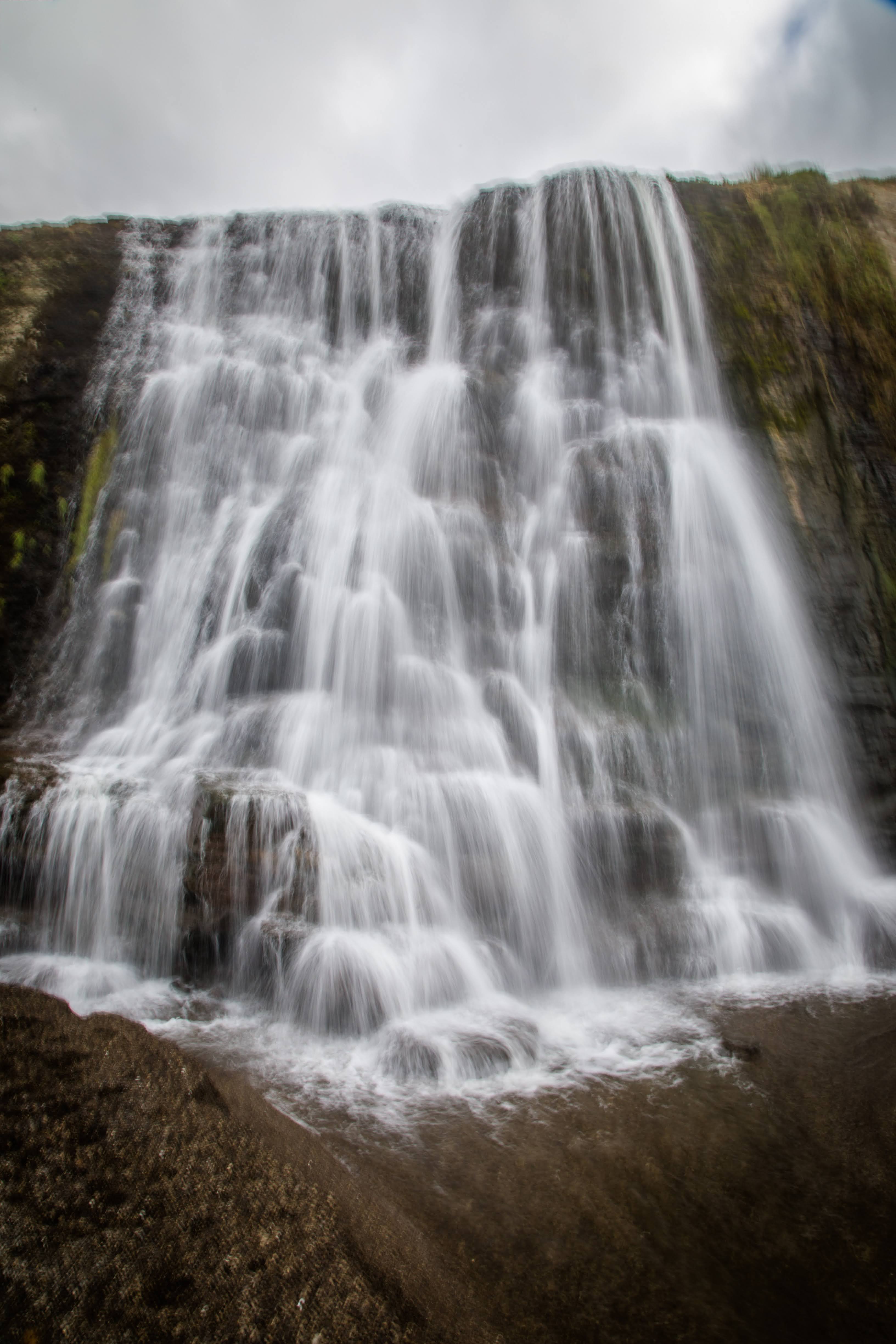
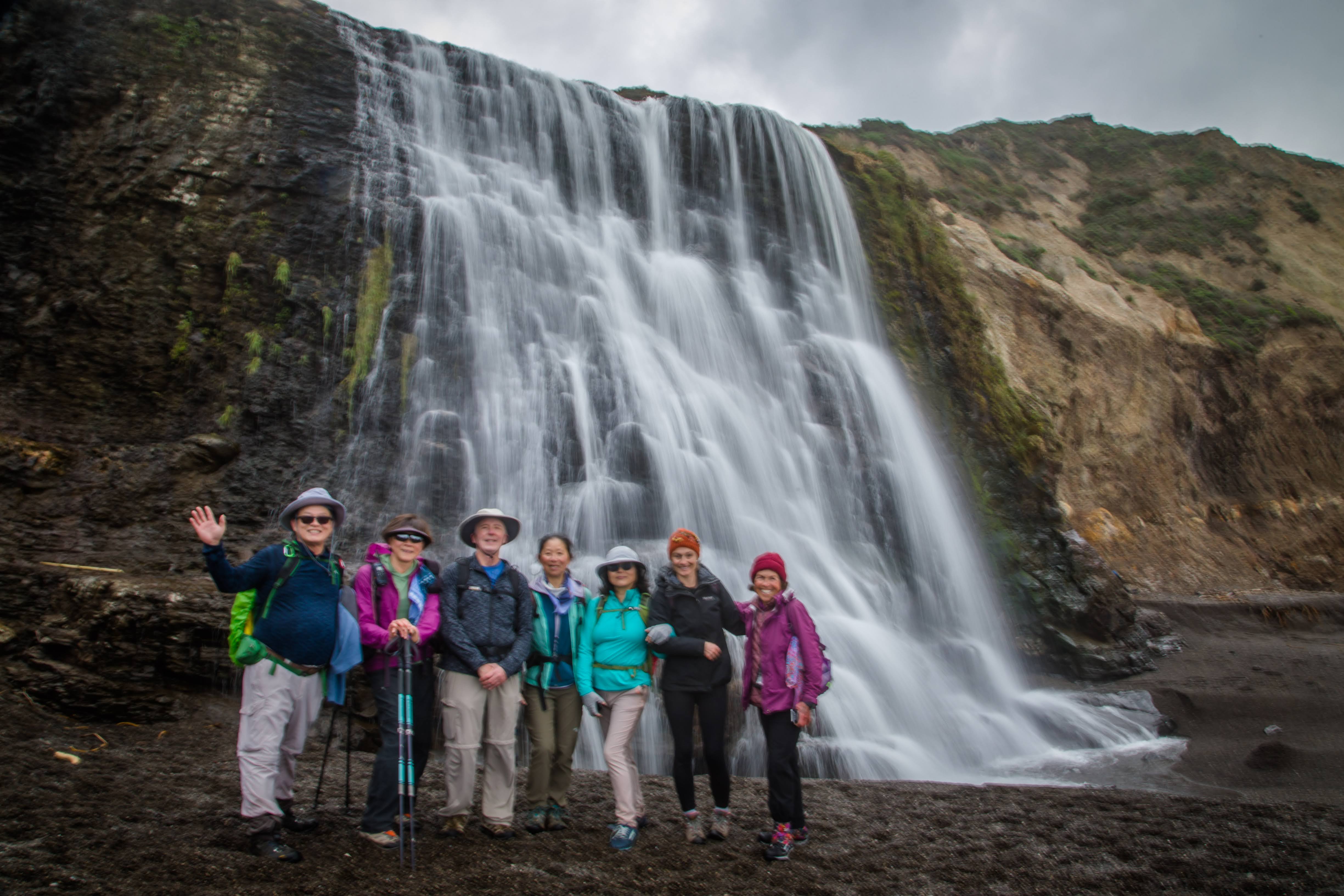
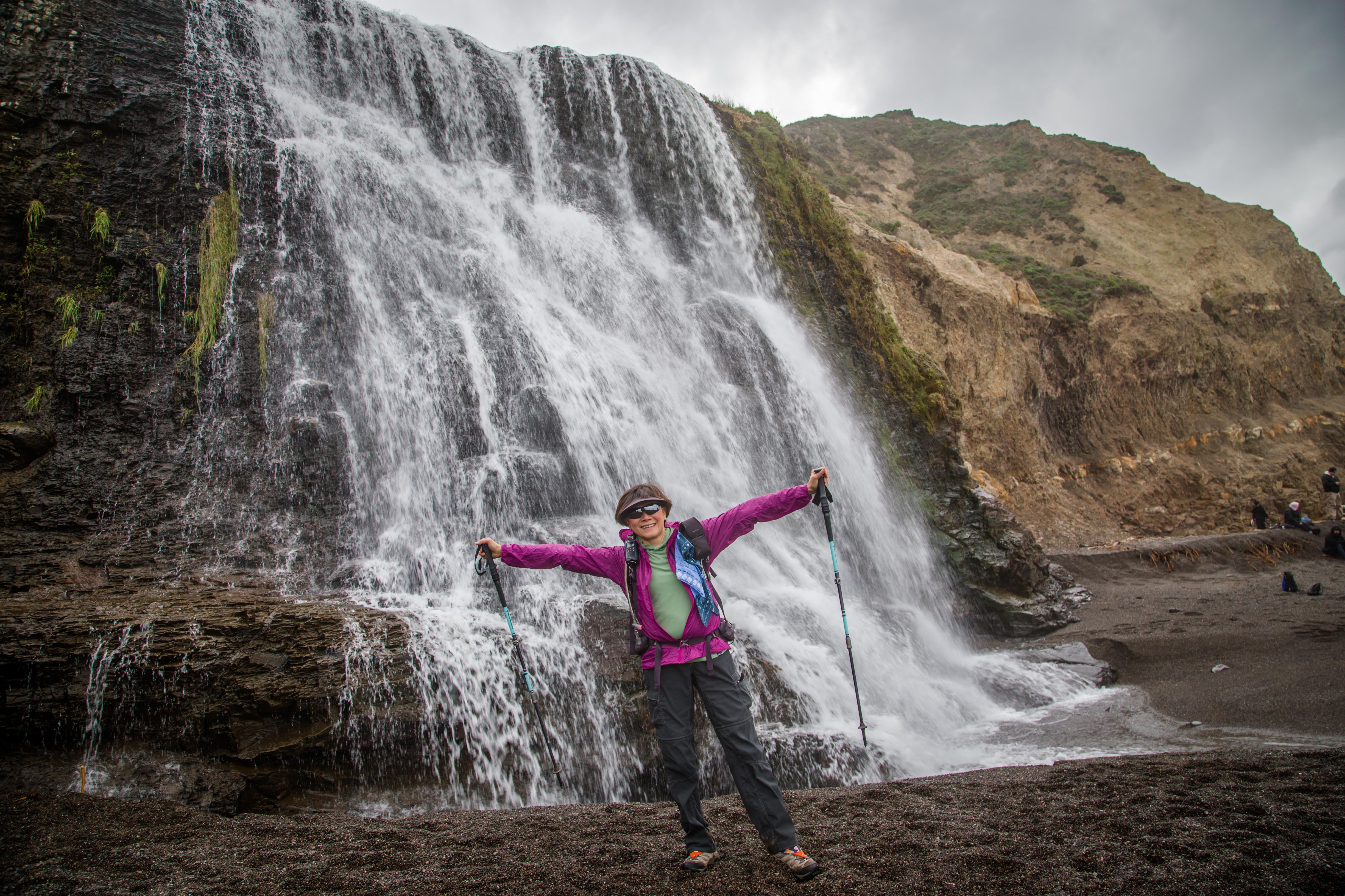
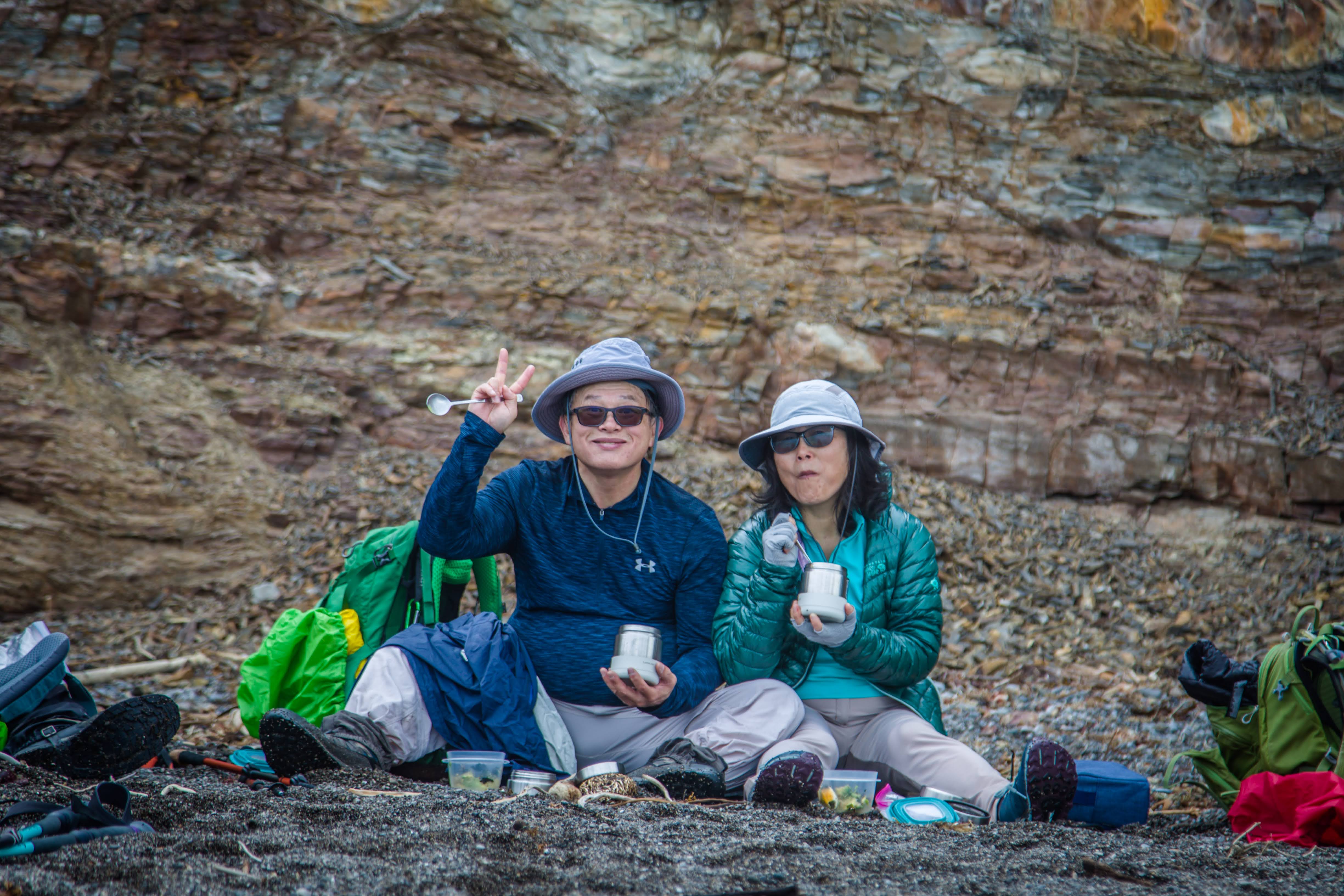
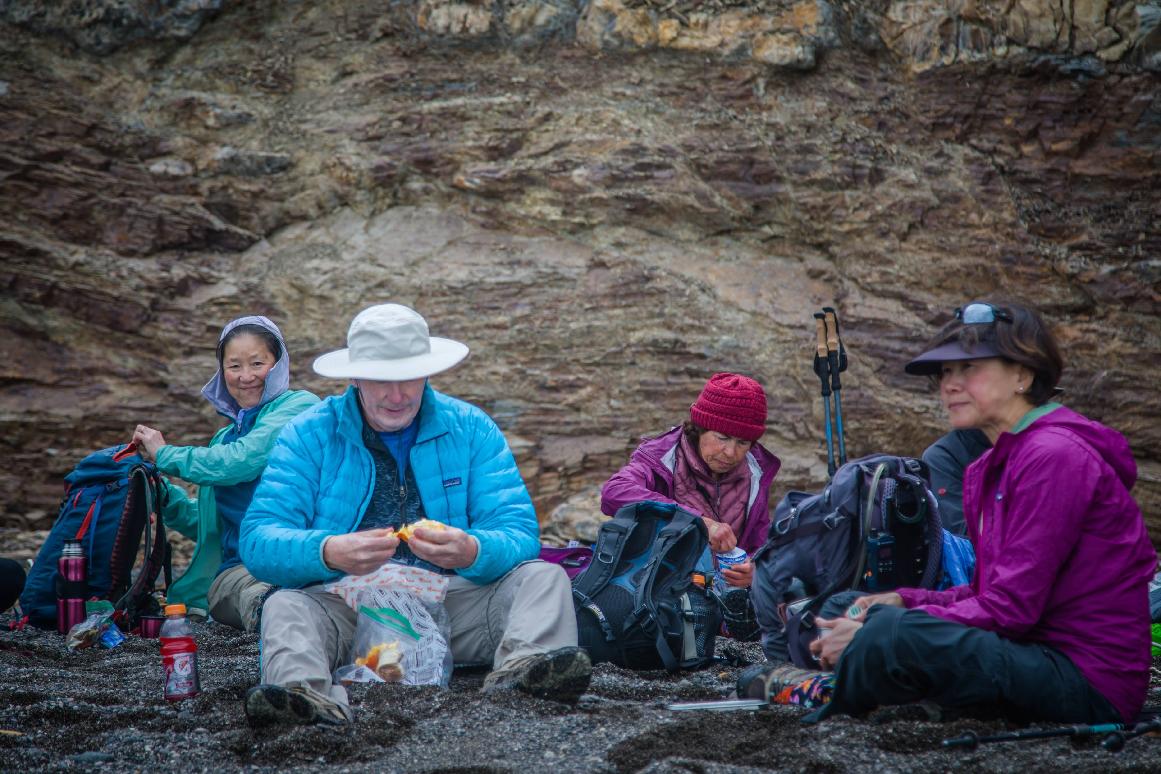
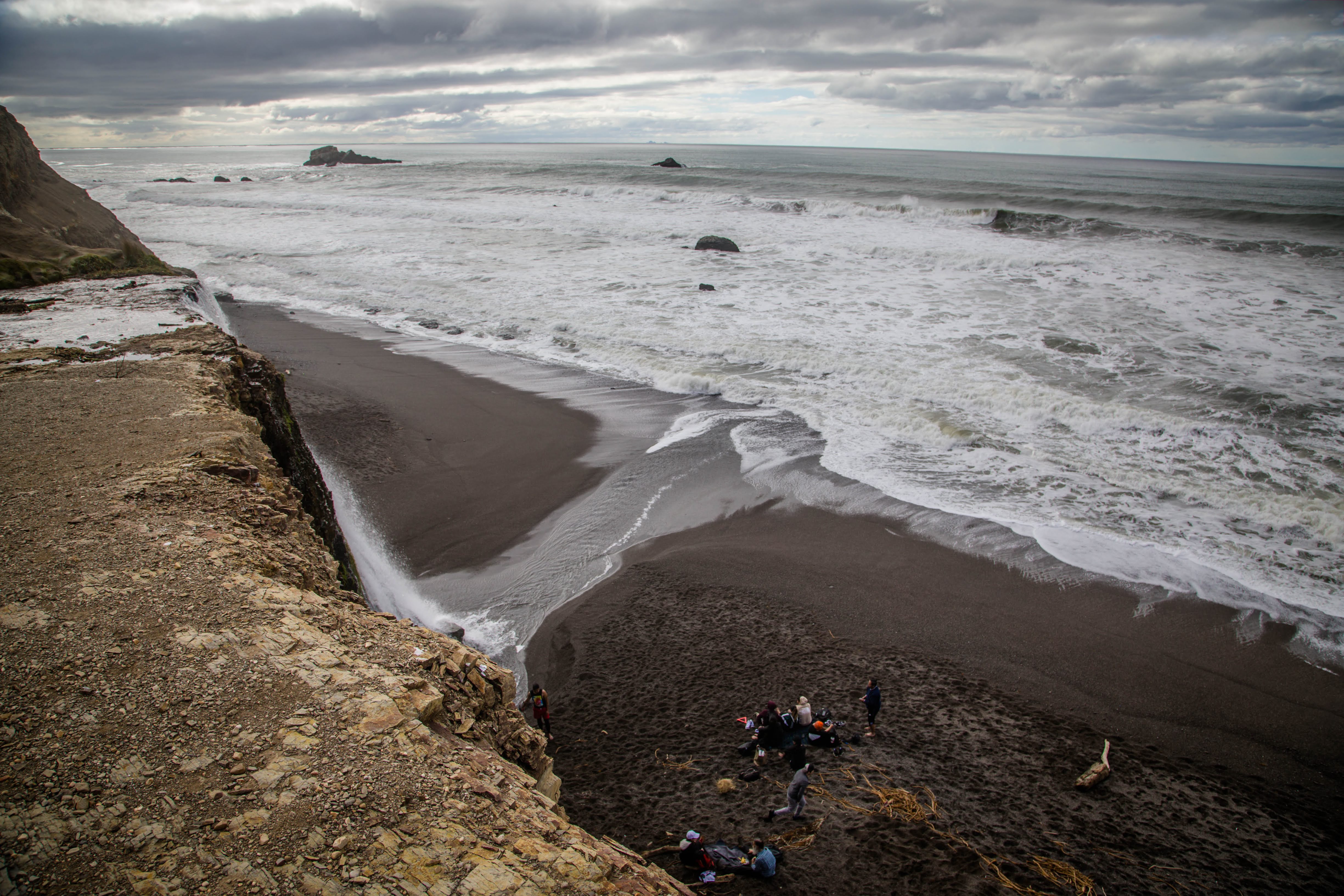
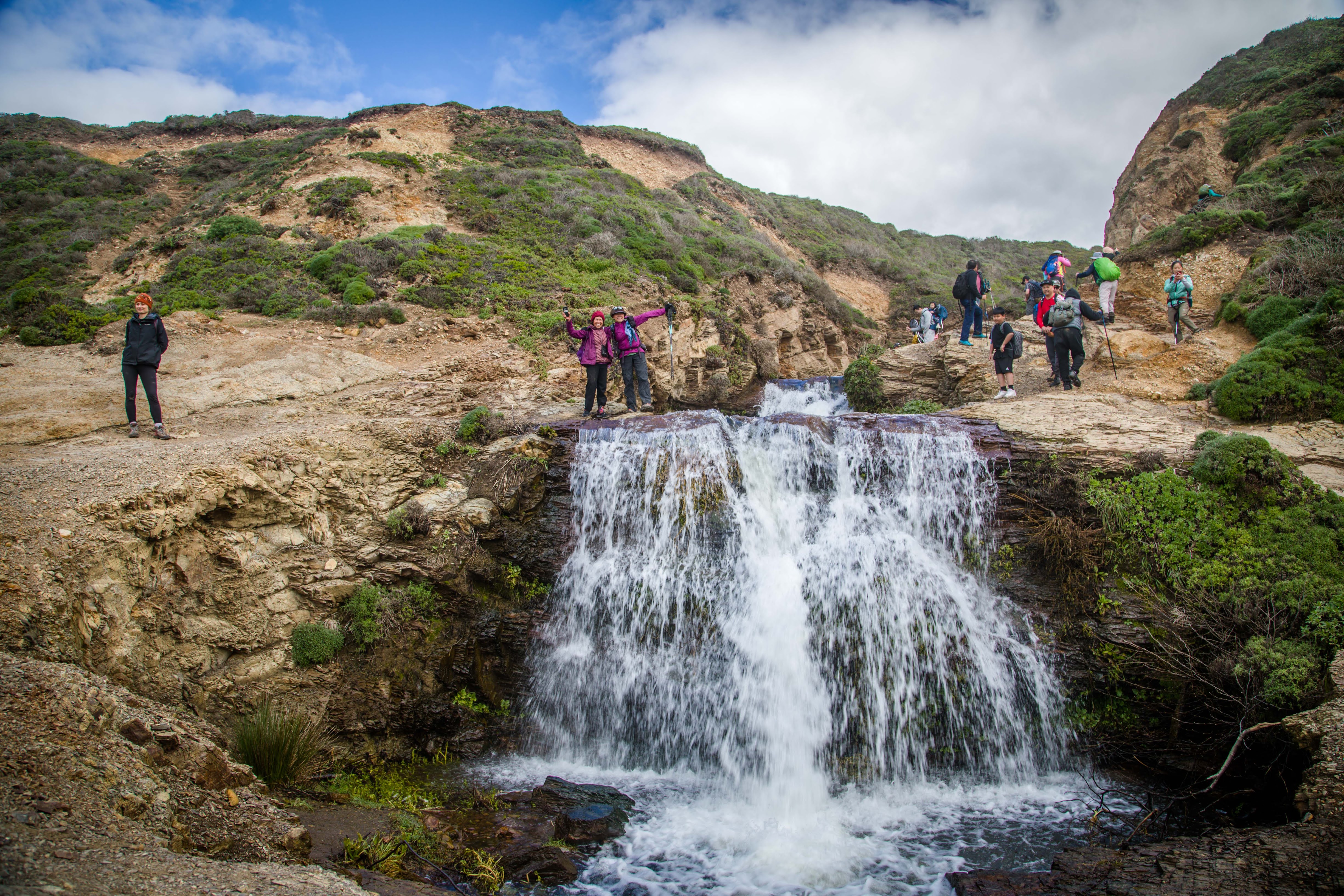
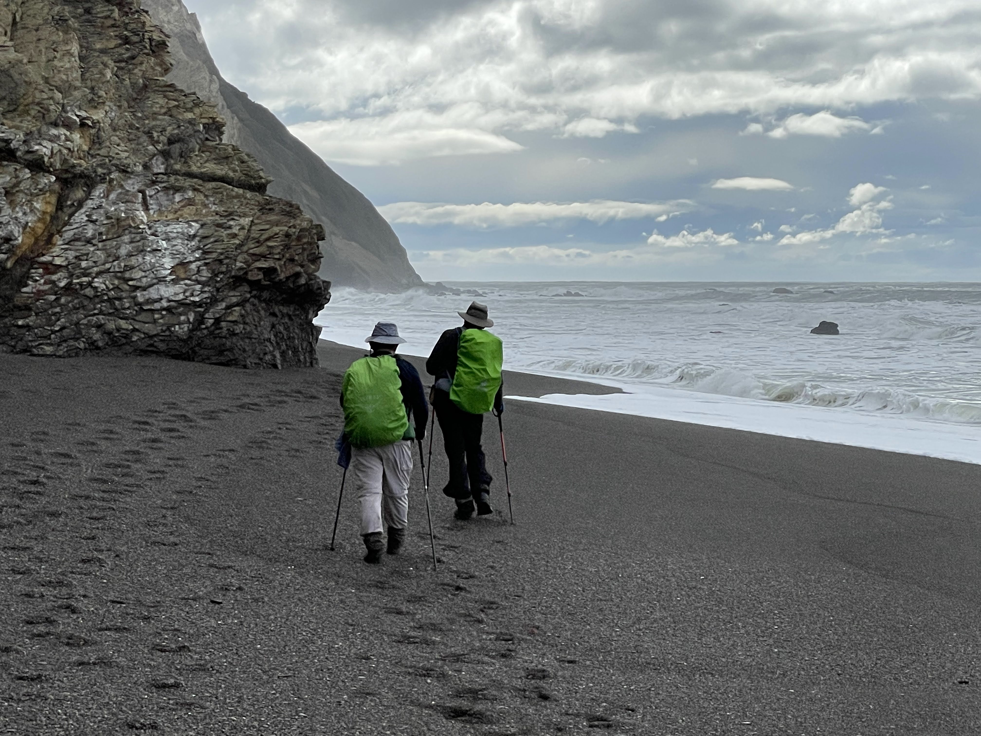
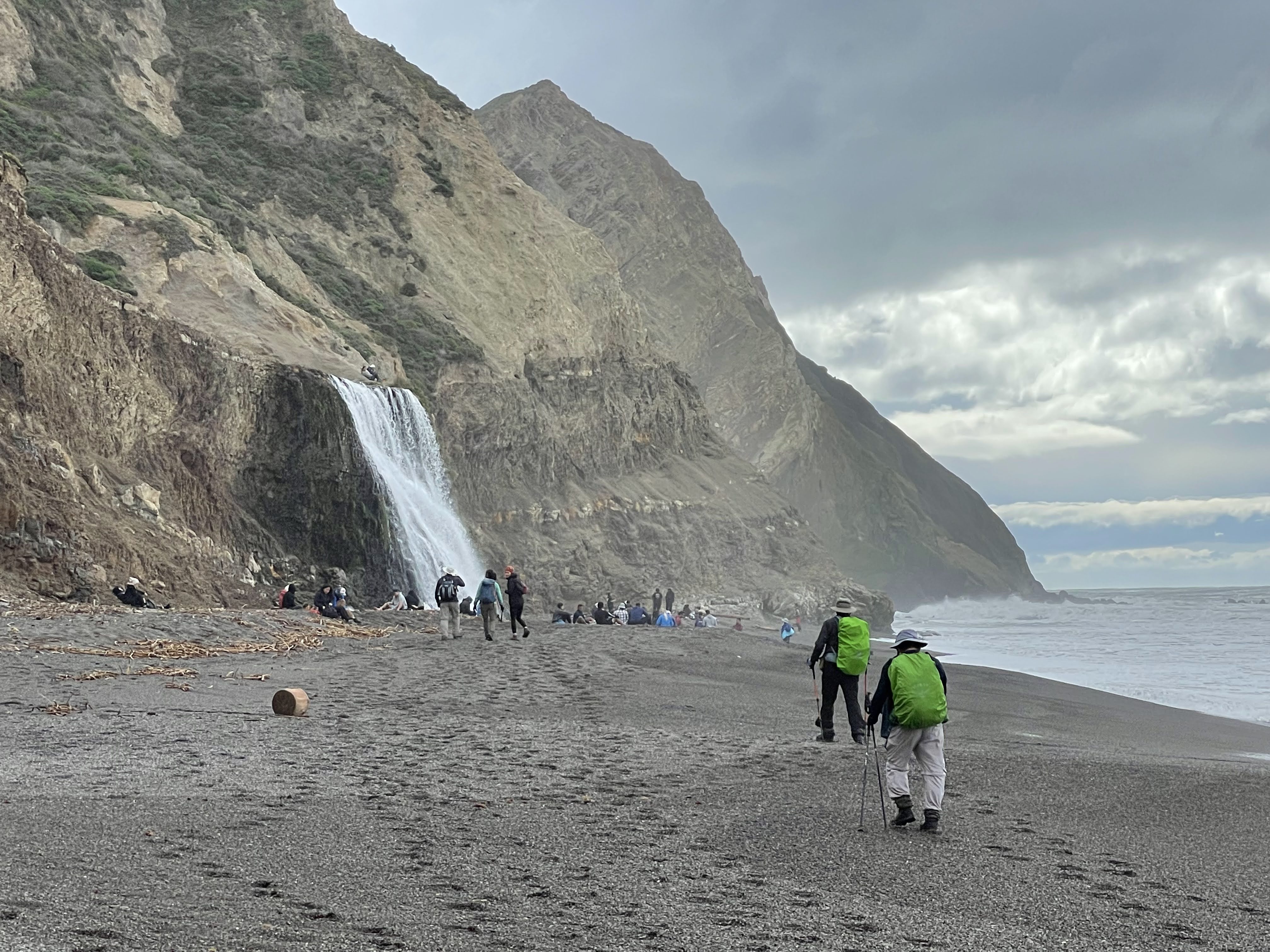
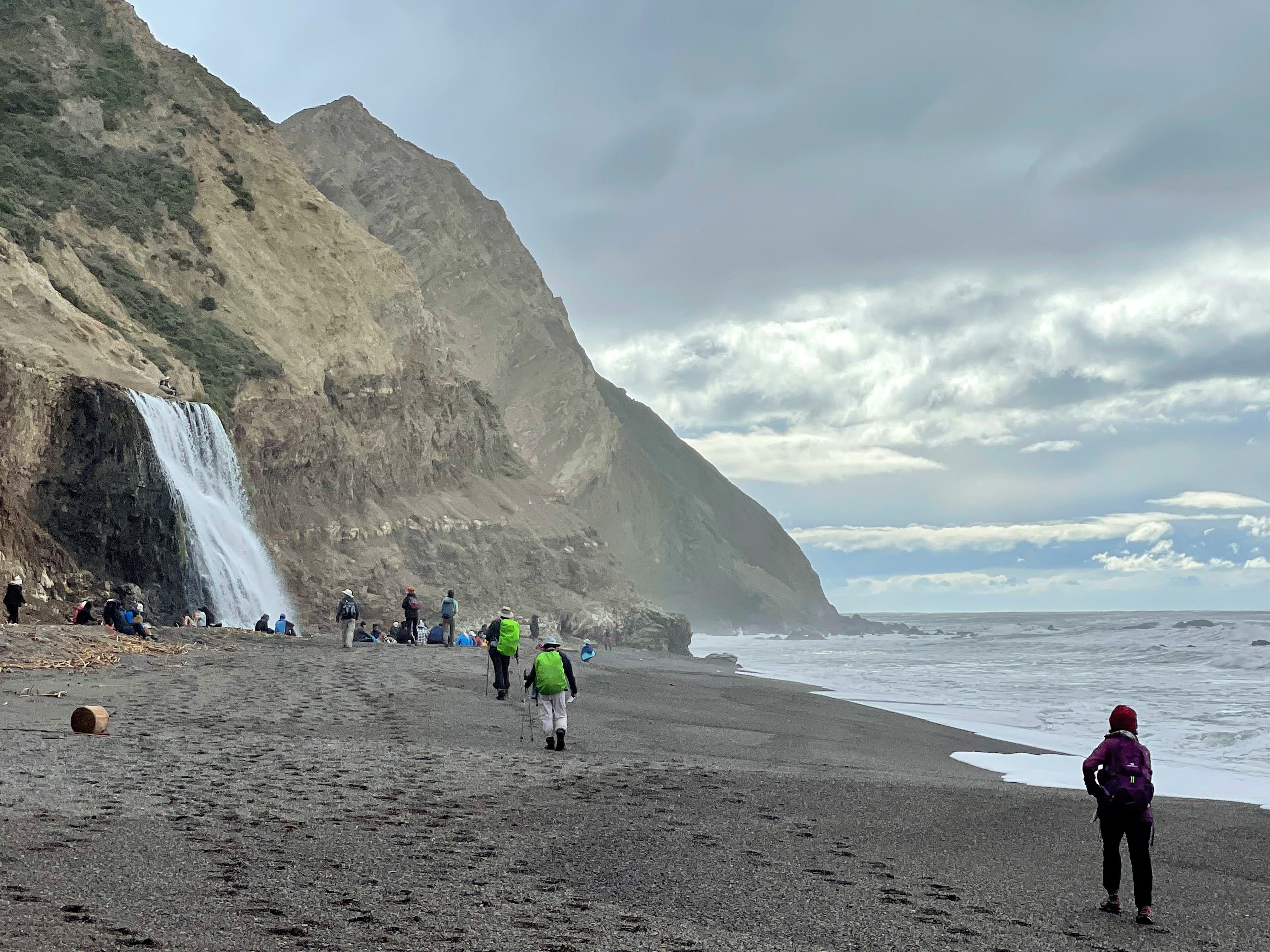
(I use a lot of Kee Yip's wonderful photos. Thanks!) Alamere Falls is a beautiful waterfall deep within the Phillip Burton Wilderness. The falls are a dramatic sight as water cascades over a ~40-foot-tall (~12 m) cliff onto the south end of Wildcat Beach. While no easy trek—a 13-mile (20 km) minimum round-trip hike is required—this spectacular spot is a popular—and a sometimes overcrowded—visitor draw. Take note: it is also the site of multiple search-and-rescue operations each year. Beware of getting too close to cliff edges and be mindful of coastal erosion!
.
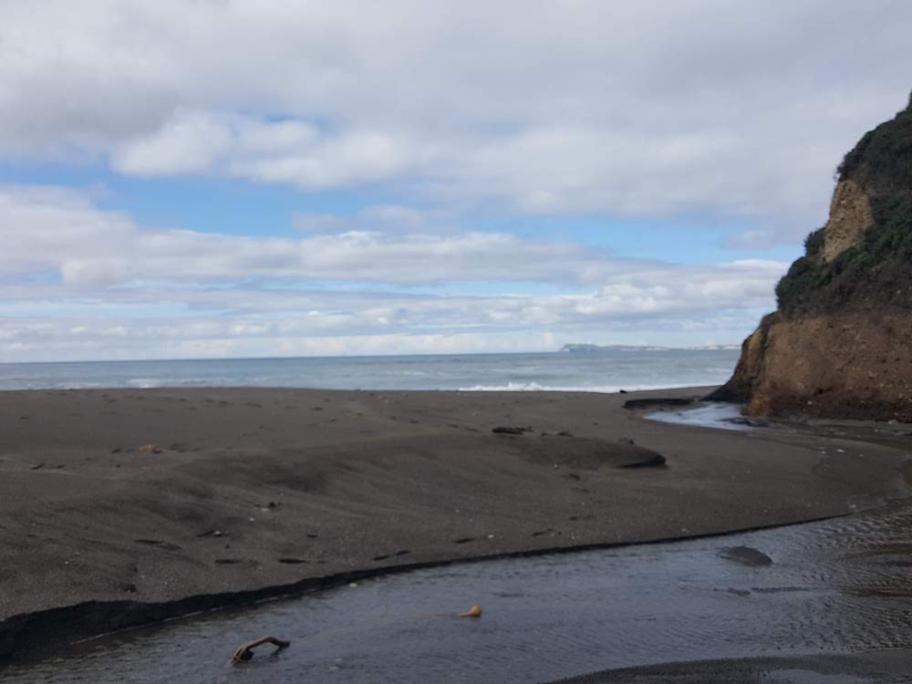
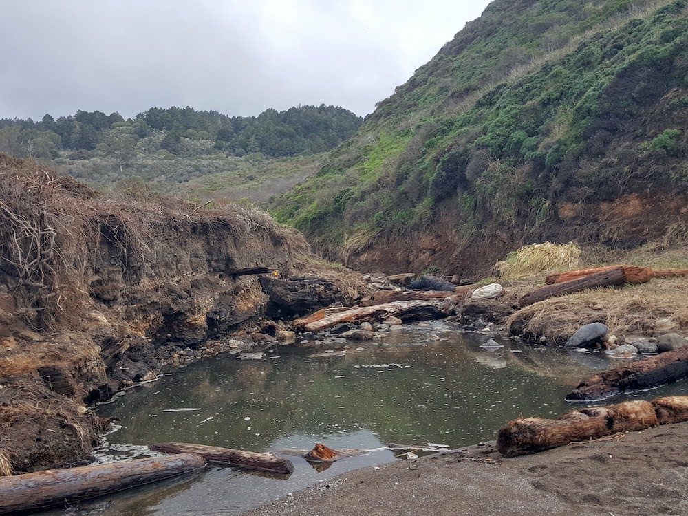
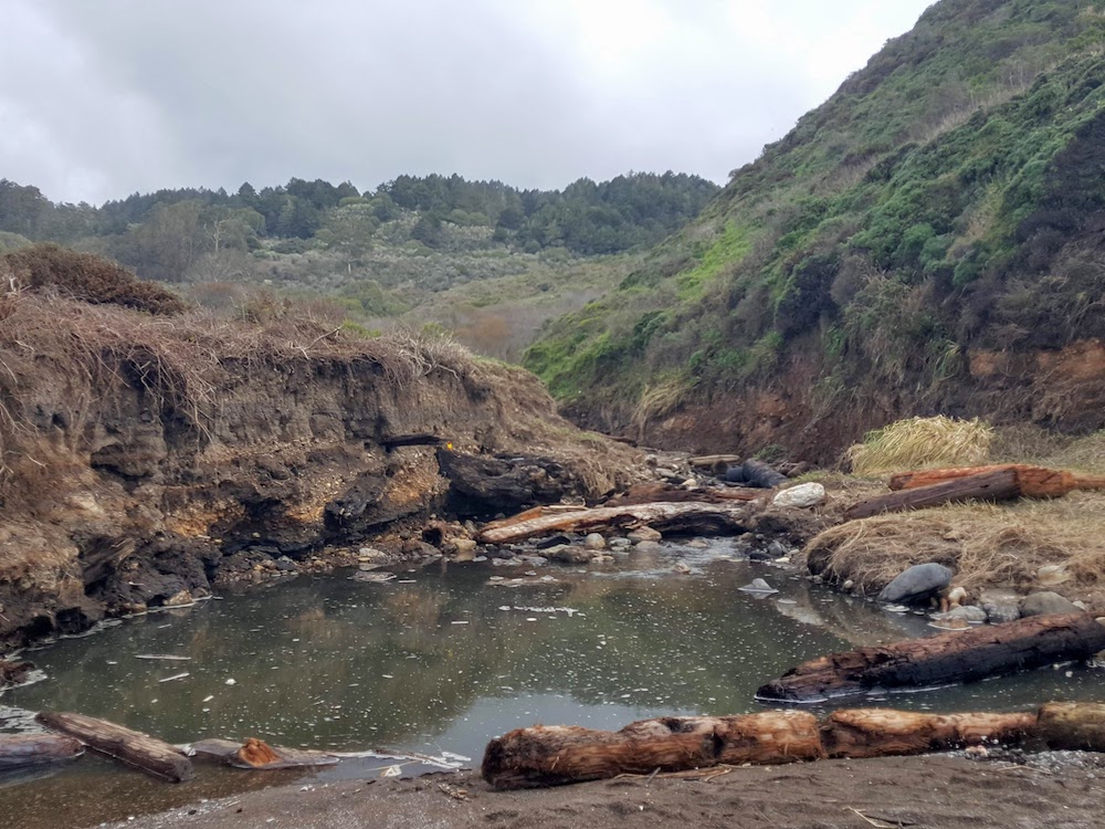
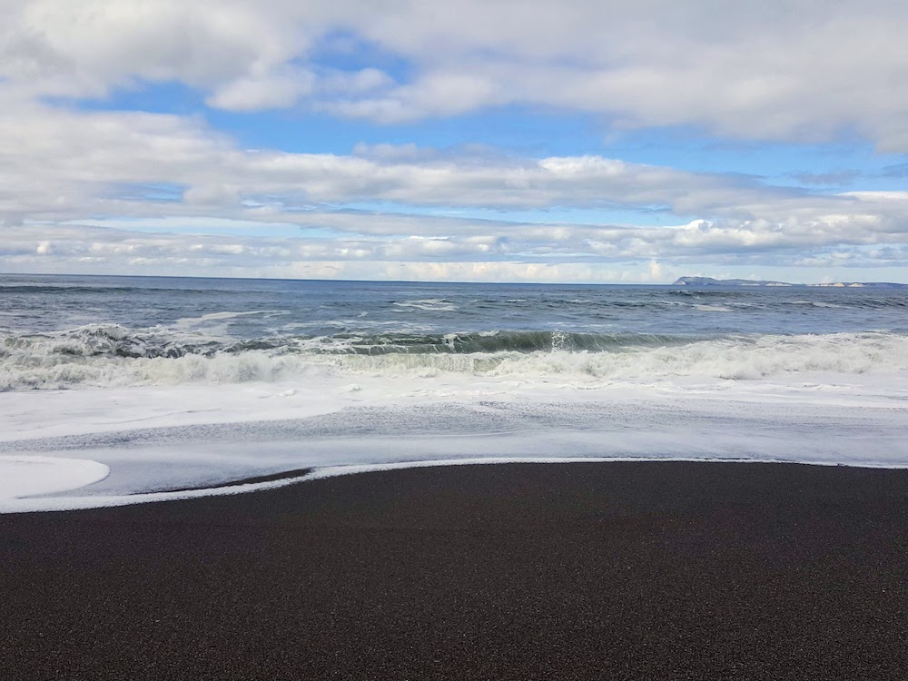
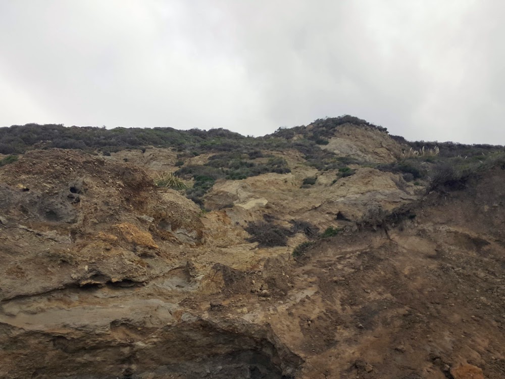
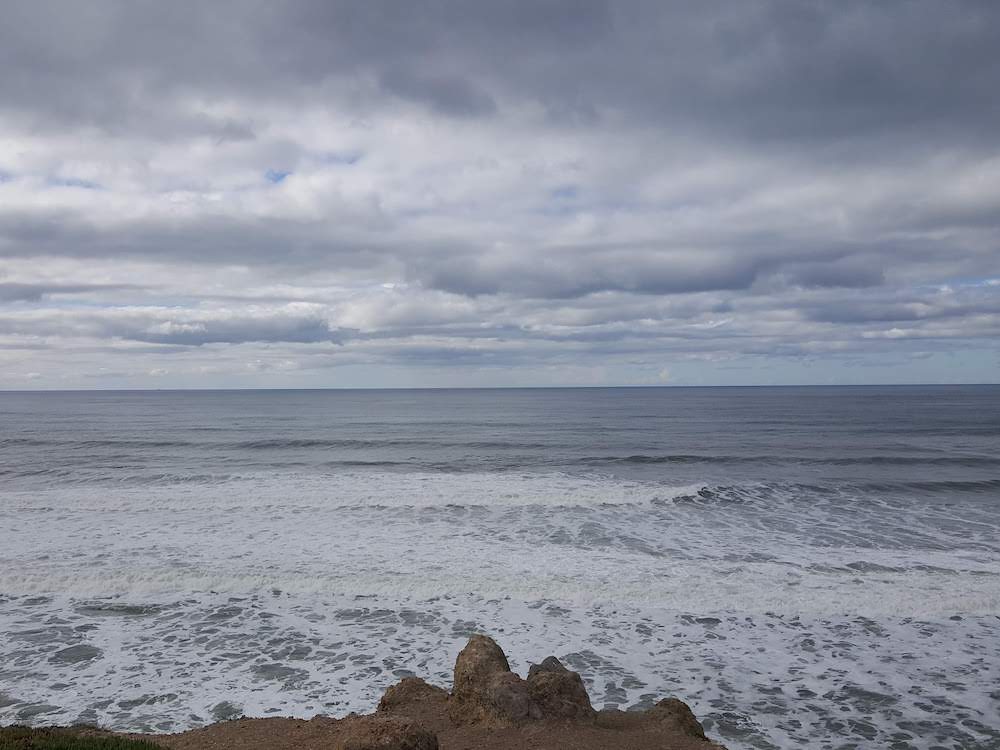
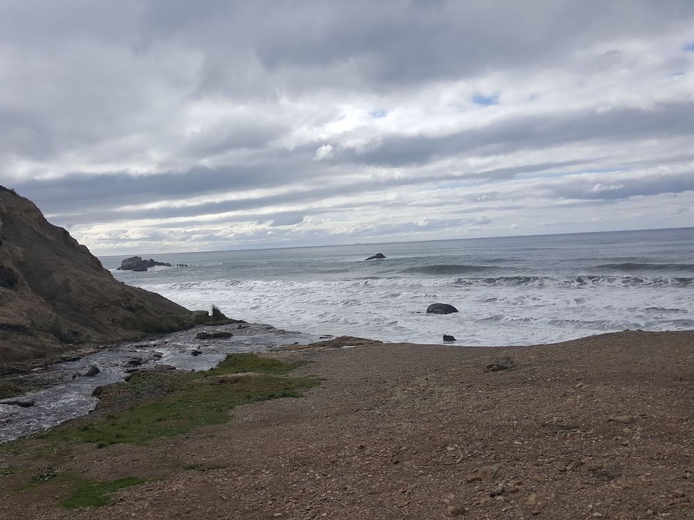
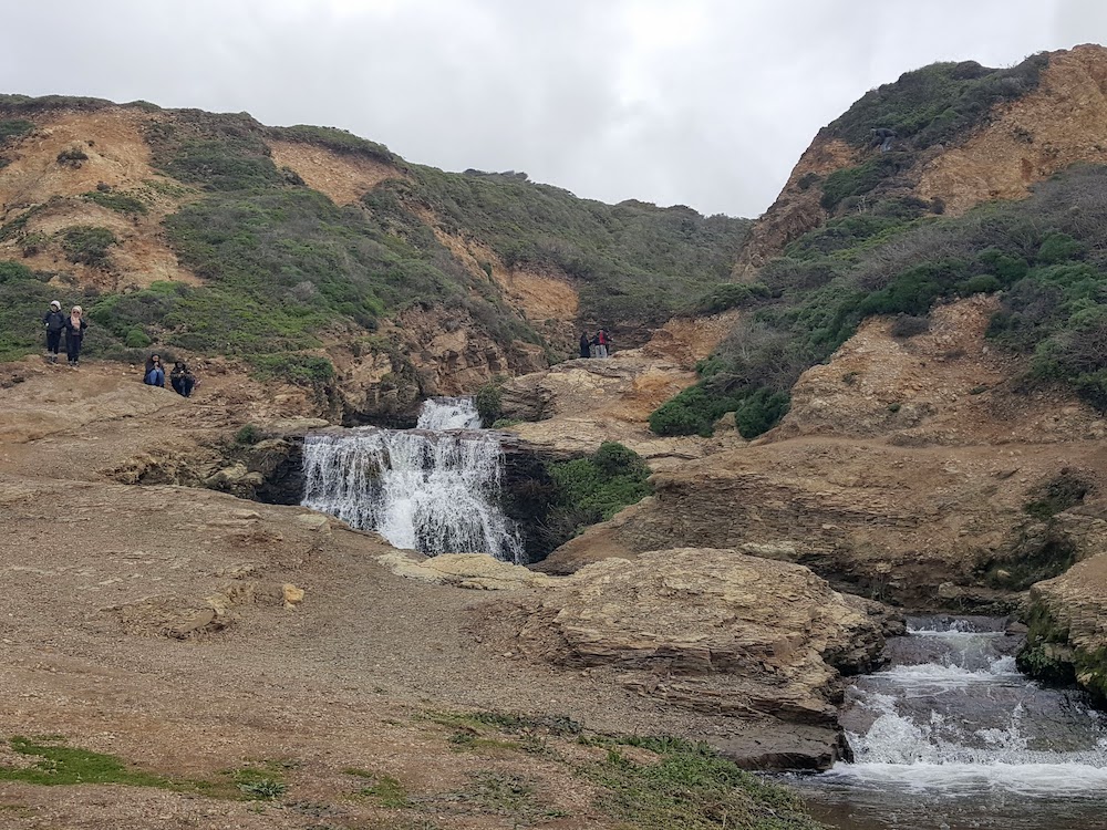
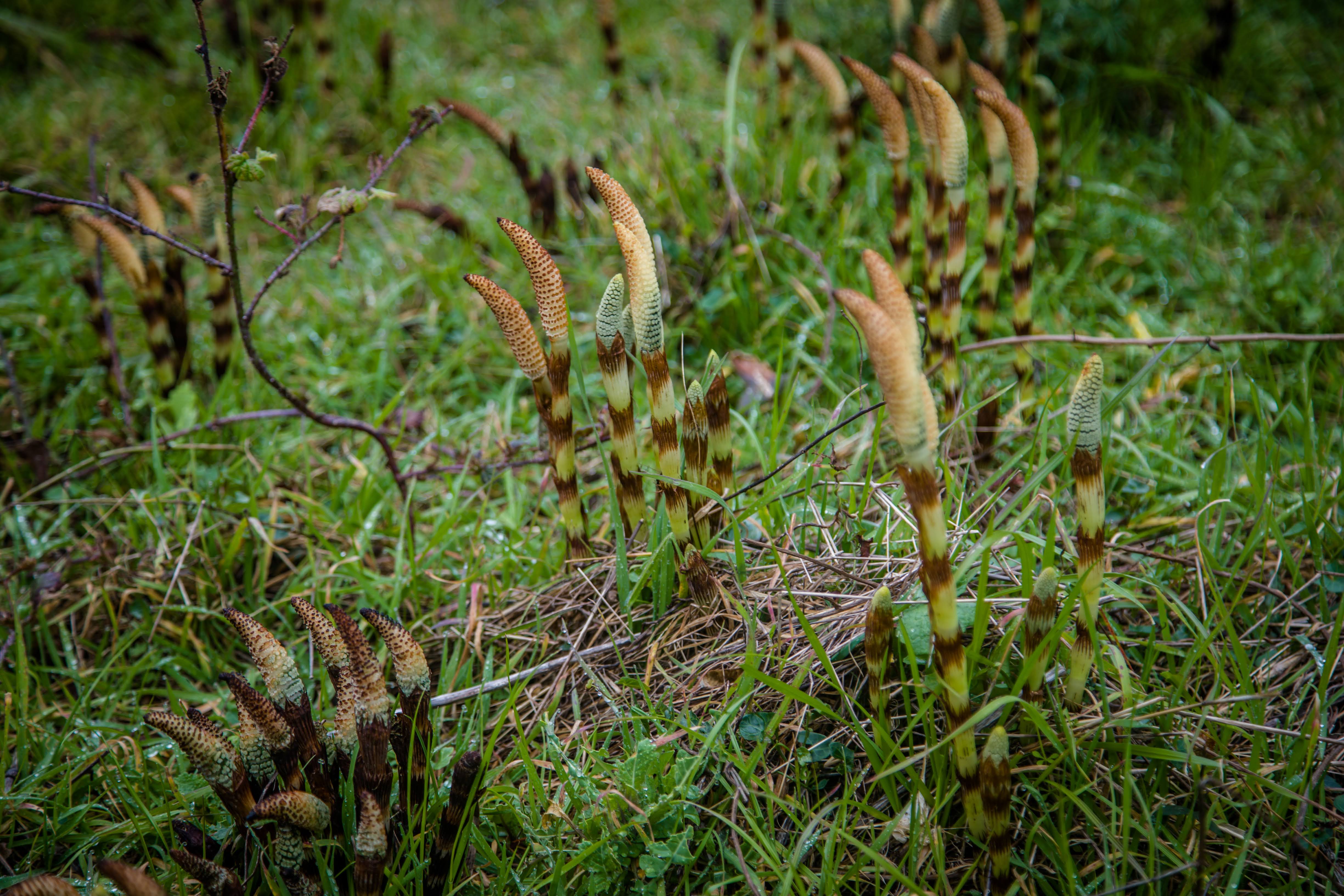
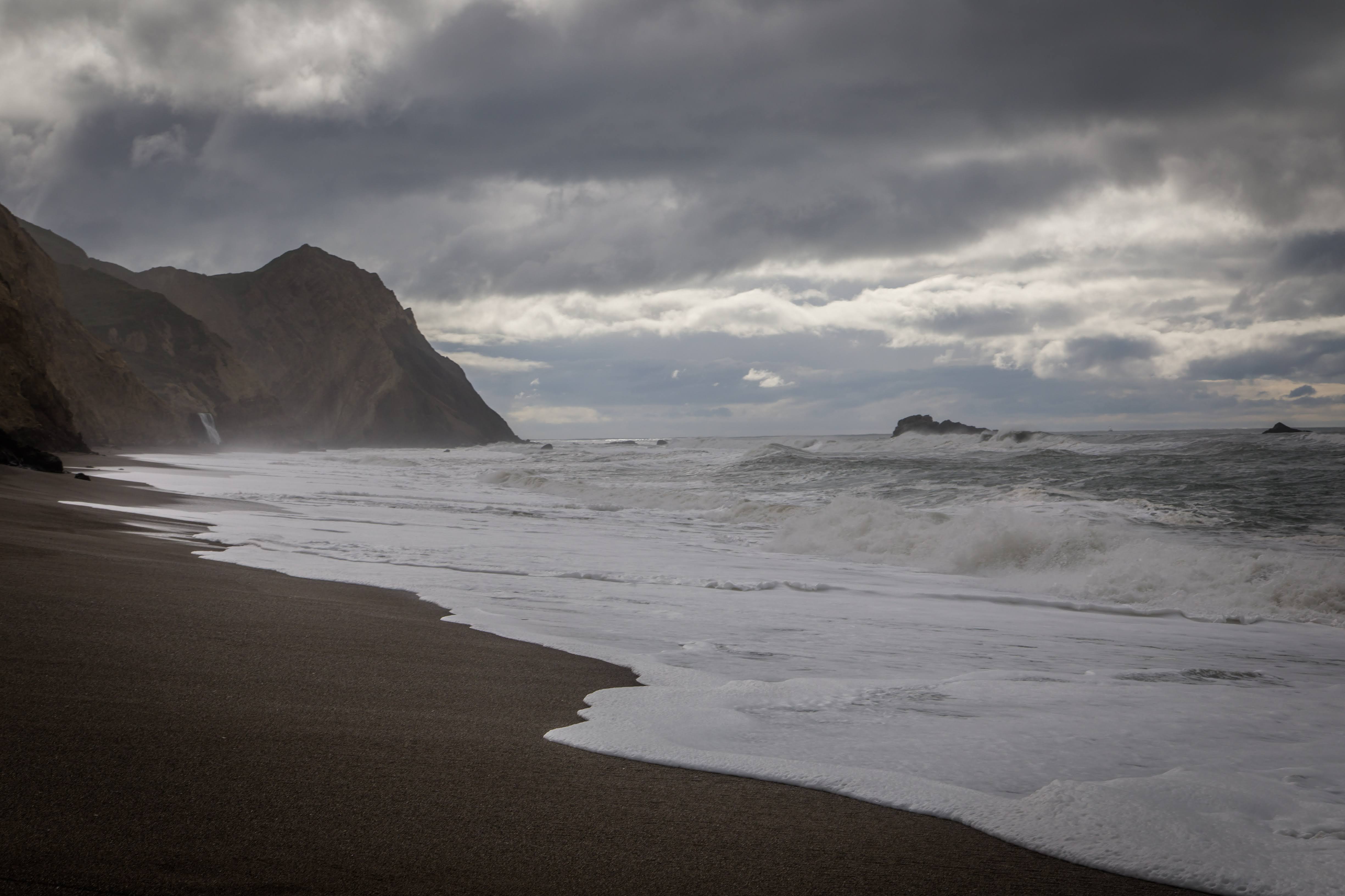
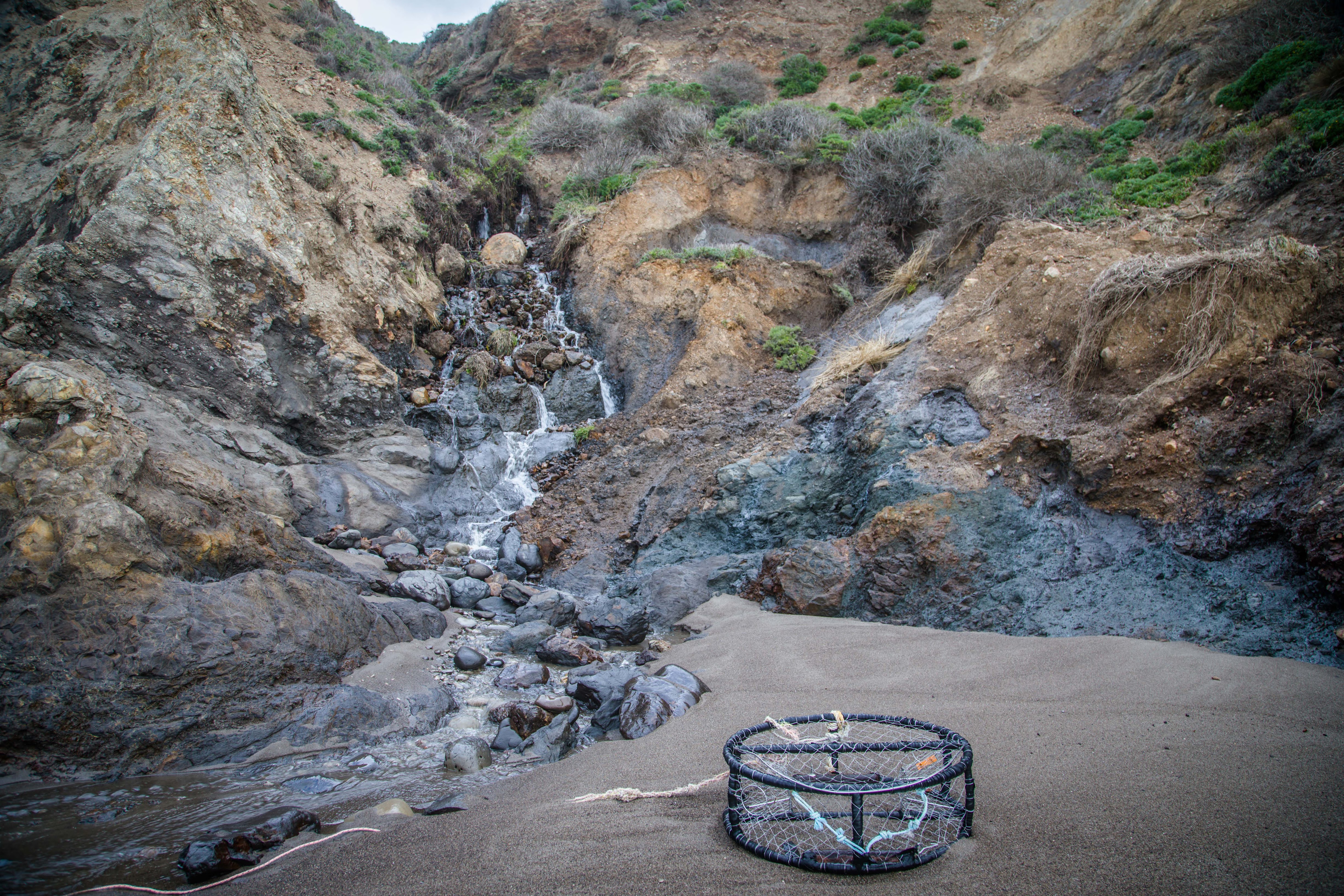
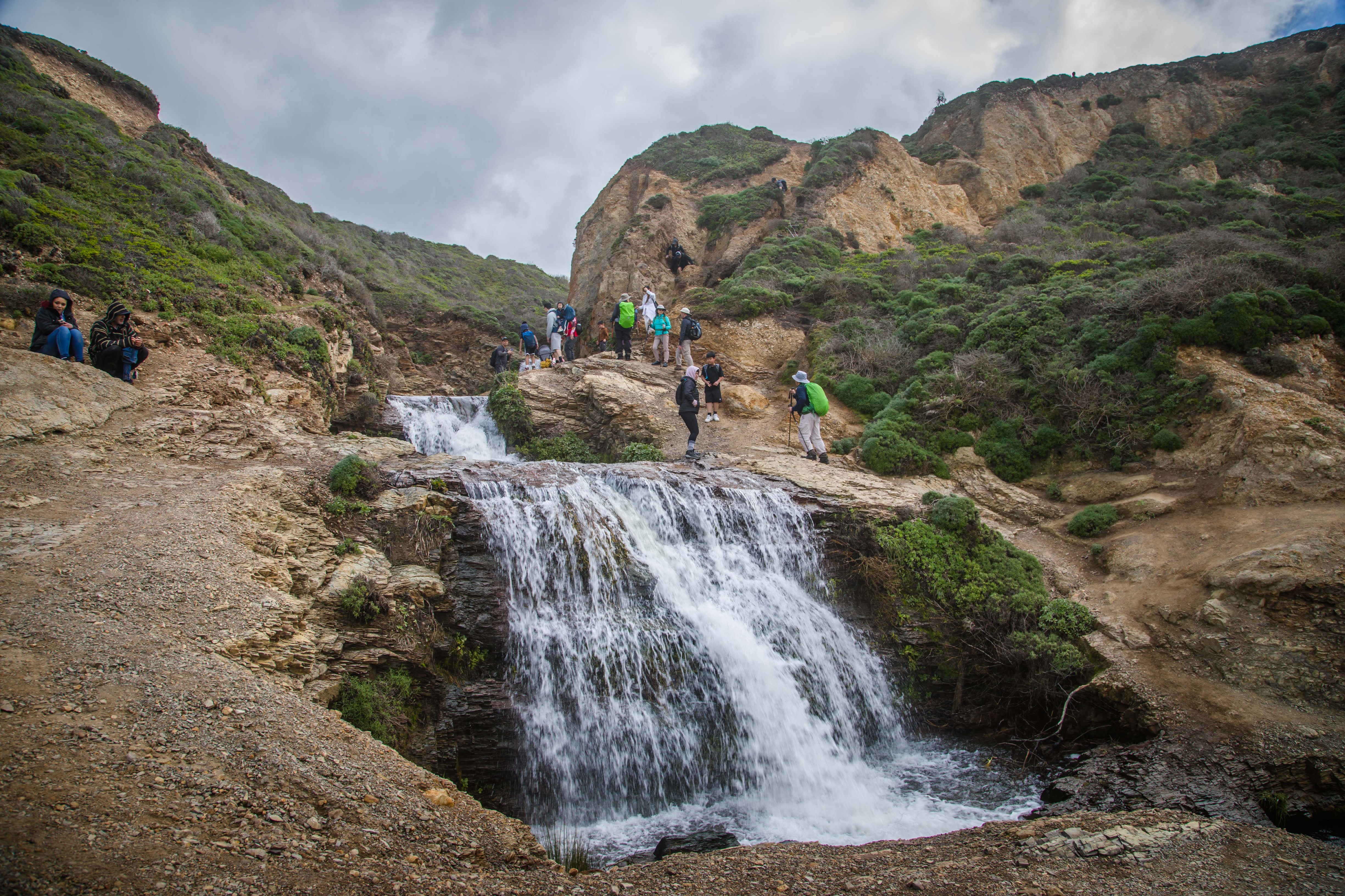
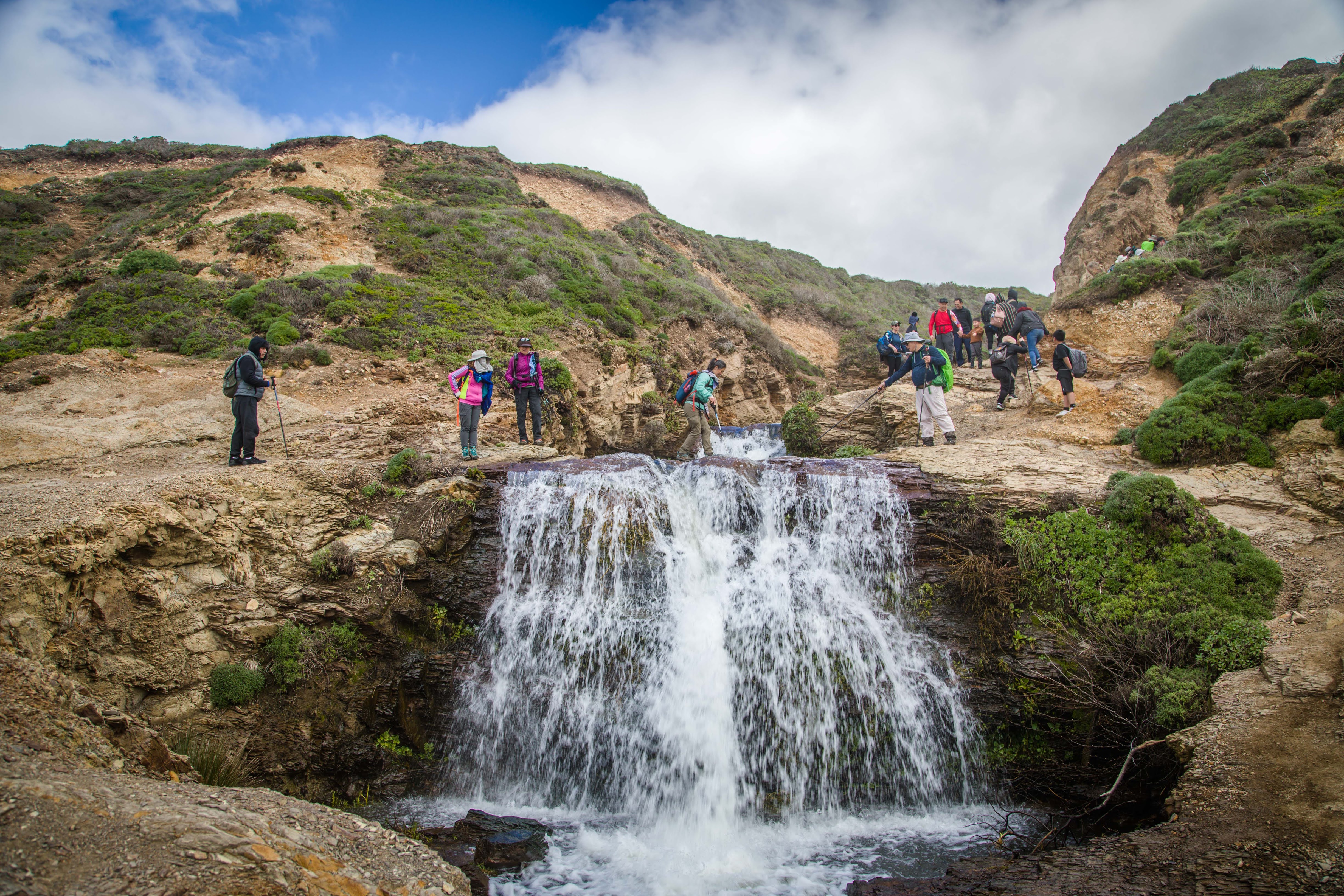
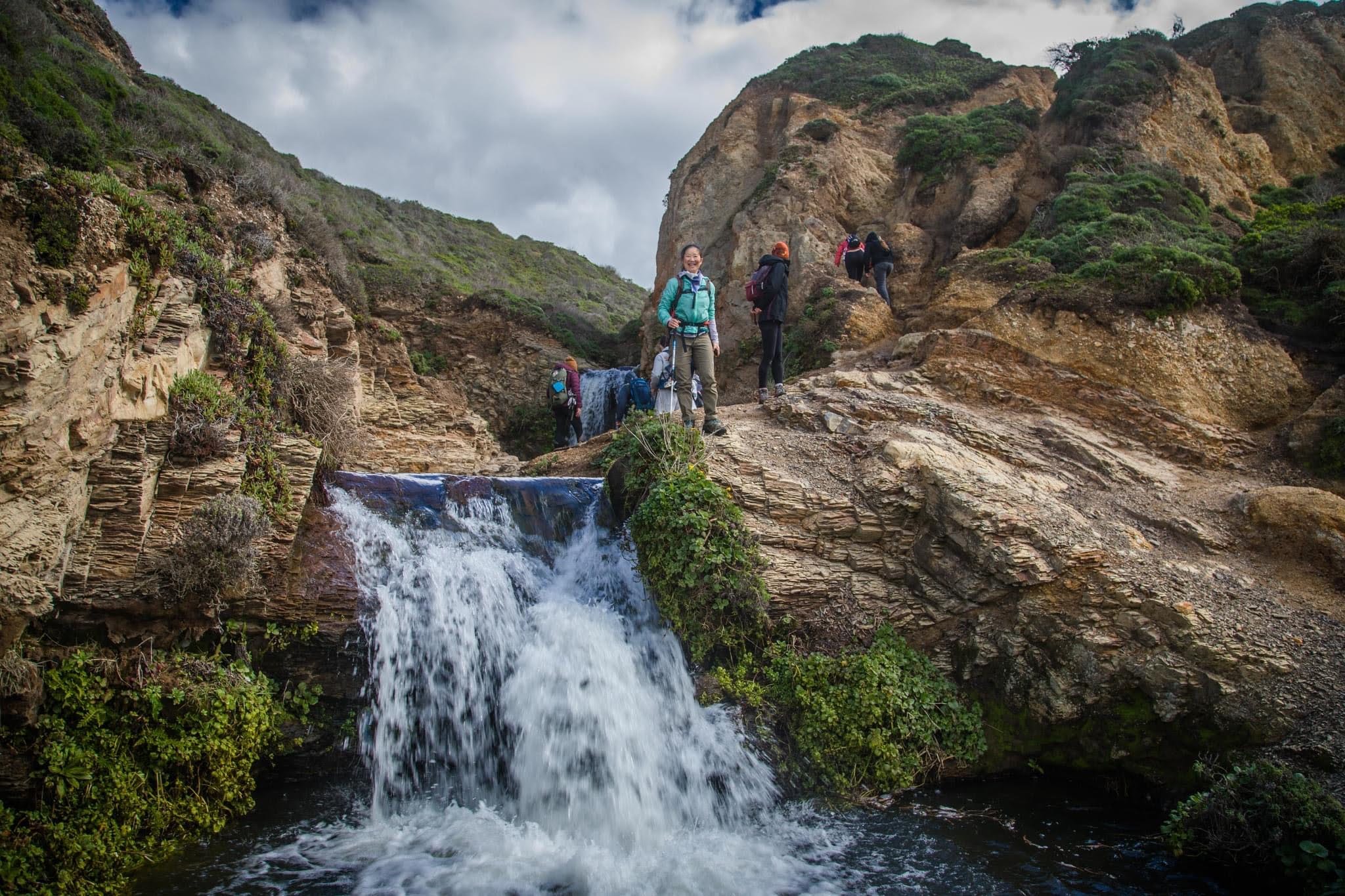
Alamere Falls is a waterfall in Point Reyes National Seashore, Marin County, California. Alamere Falls is a rare "tidefall", a waterfall that flows directly into the ocean. It is one of only two known tidefalls in California, the other being McWay Falls. Alamere Falls tumble over fragile shale cliffs at Alamere Creek Beach. Upstream of the main Alamere Falls is the upper Alamere Falls, consisting of three separate cascades. Together, these cascades are approximately 20–30 feet (6–9 m) in height. All of these waterfalls are fed by the Alamere Creek.
.
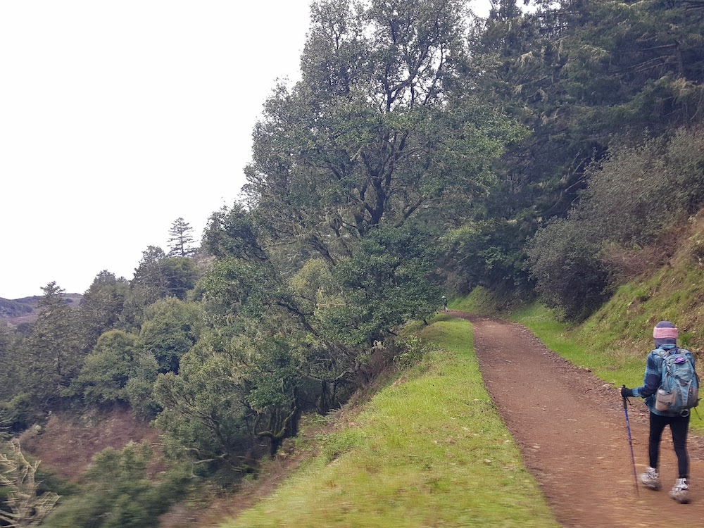
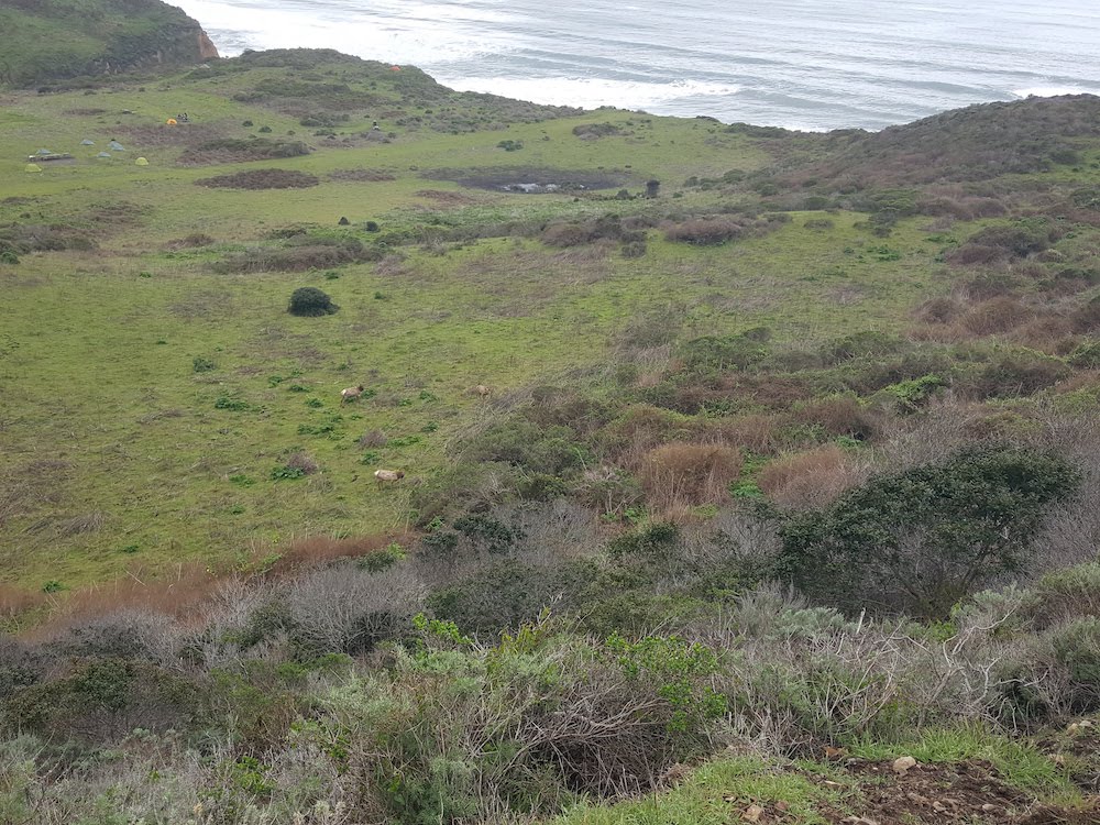
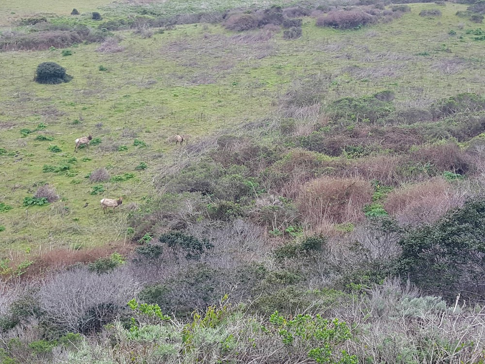
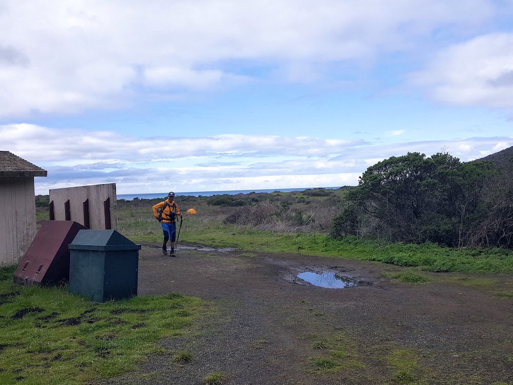
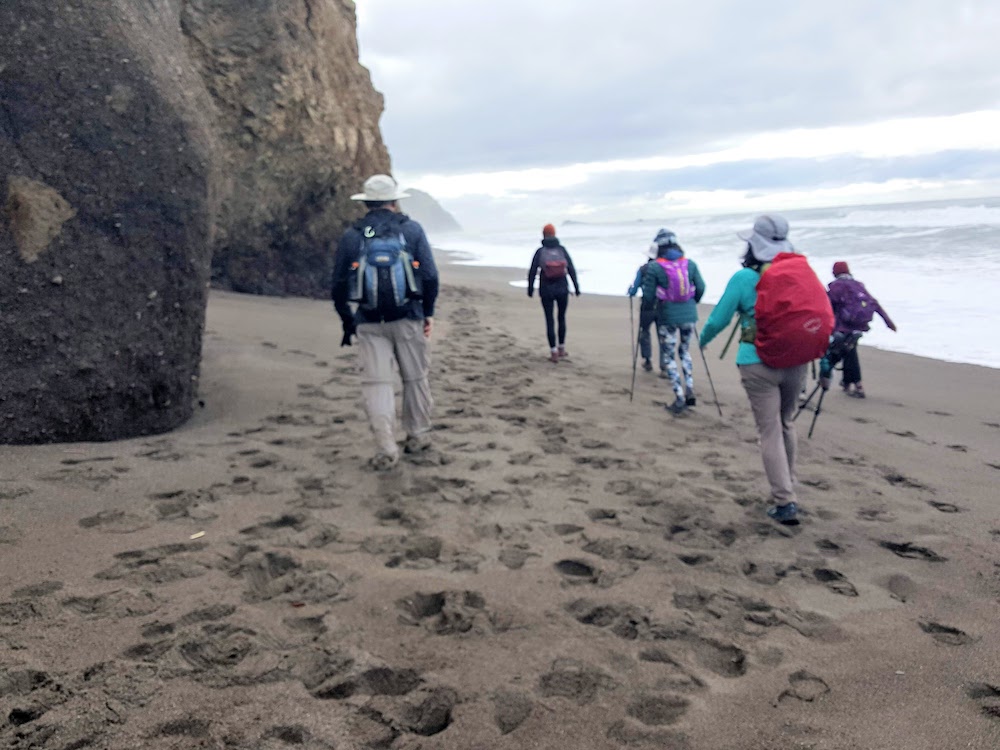
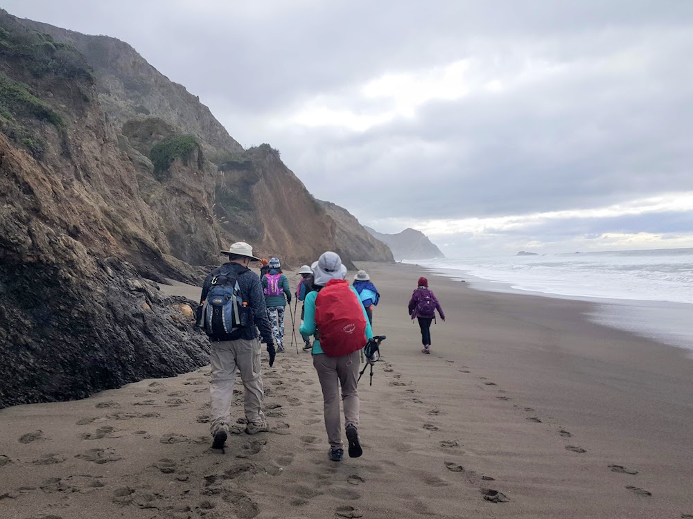
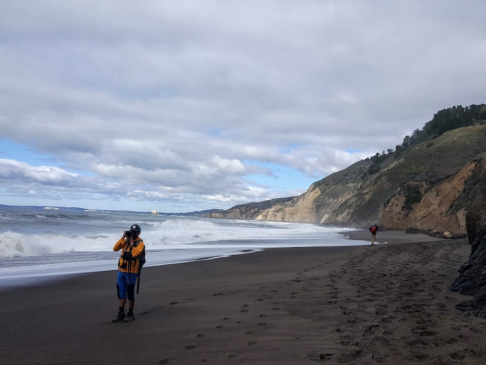
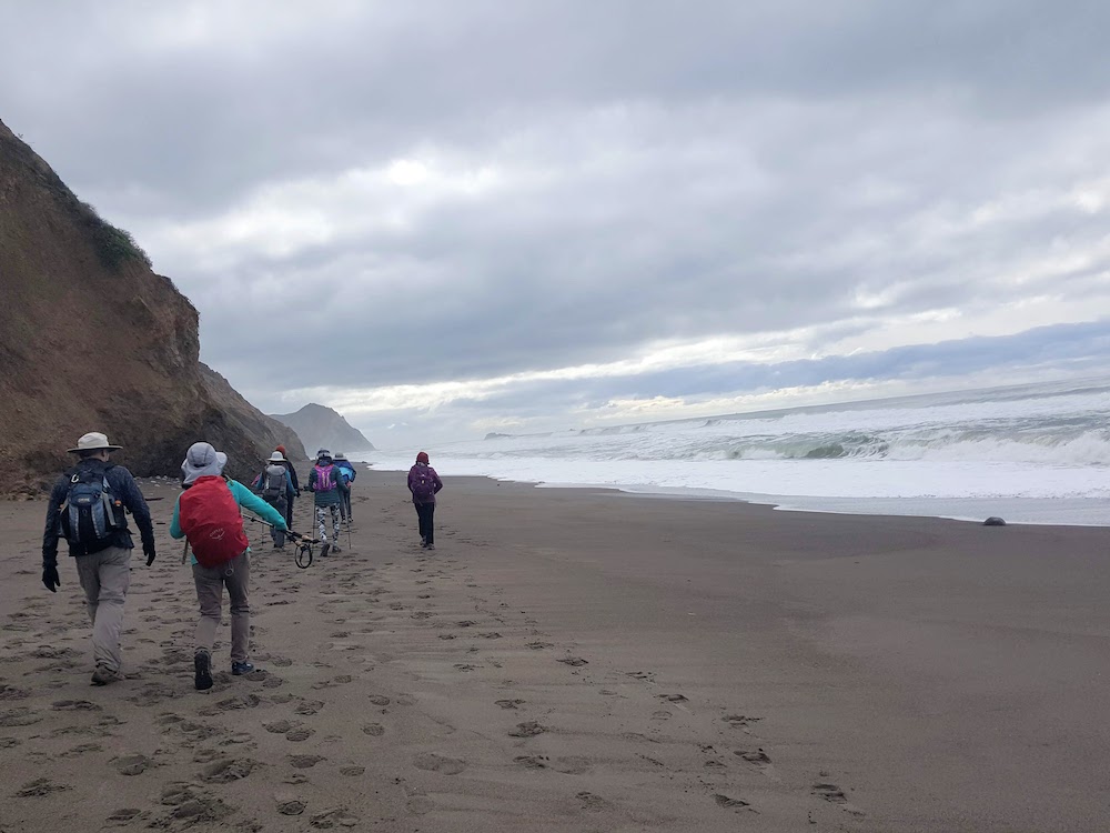
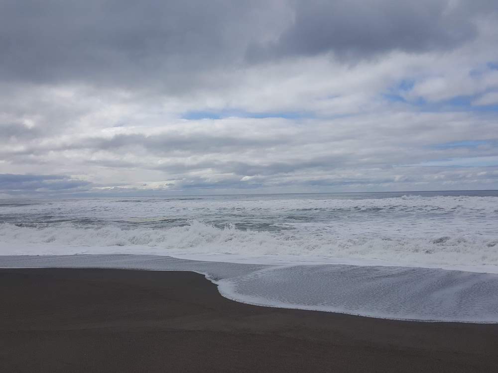
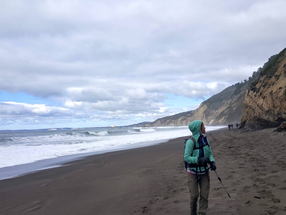
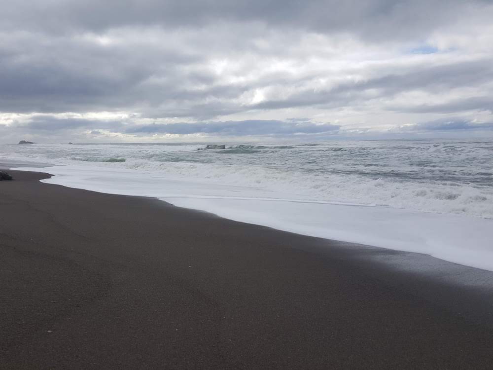
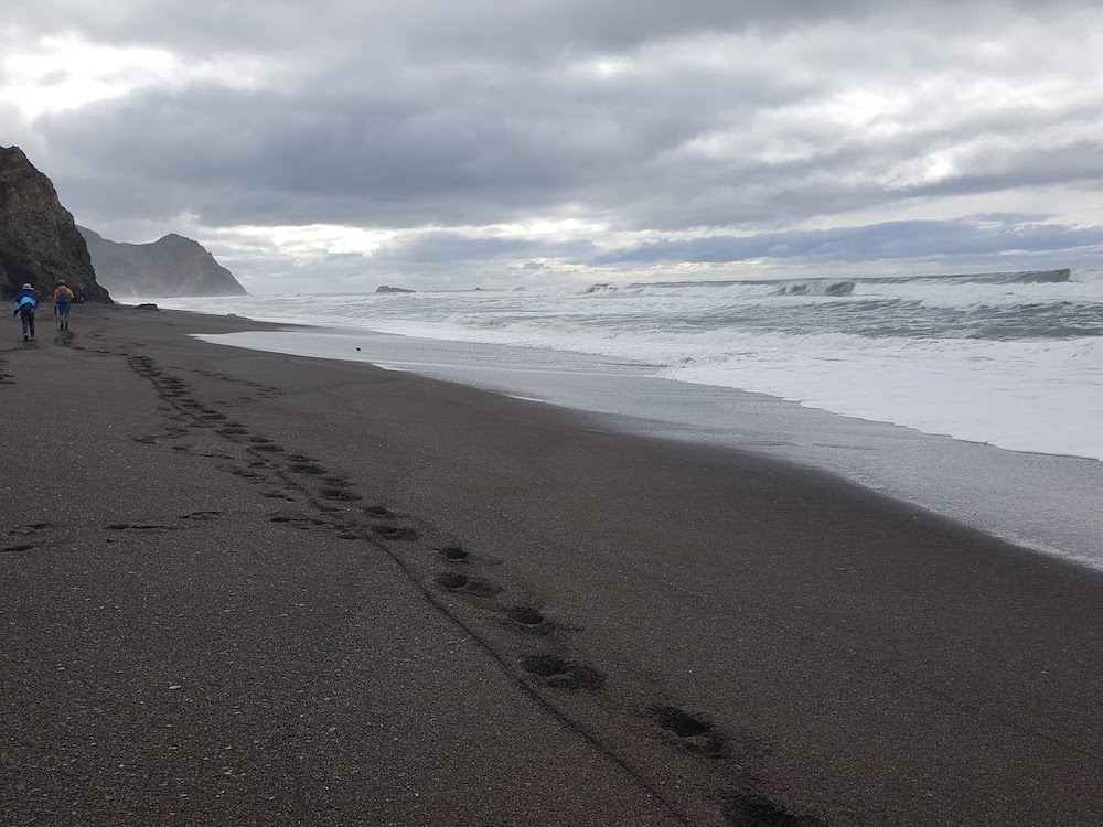
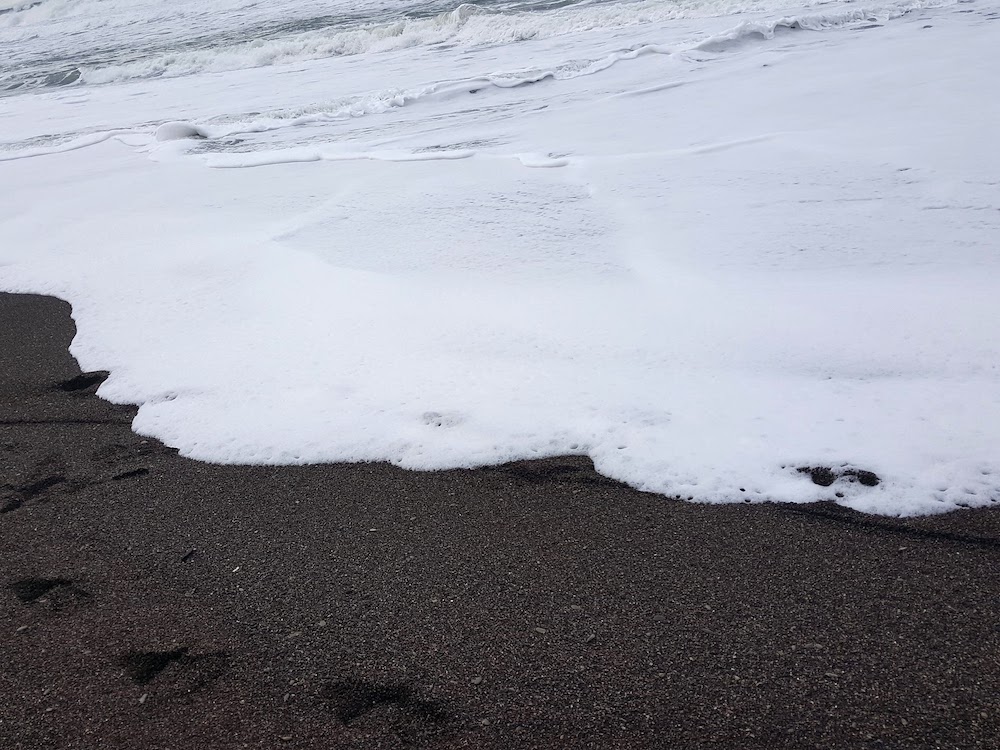
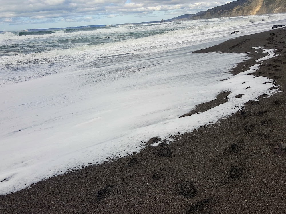
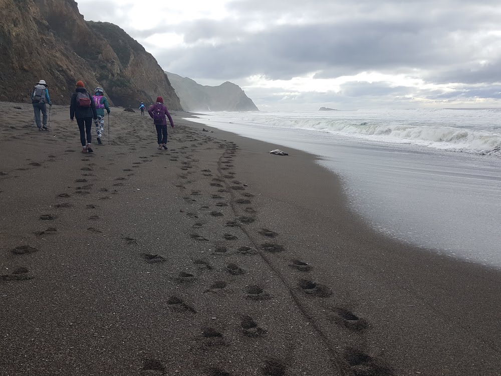
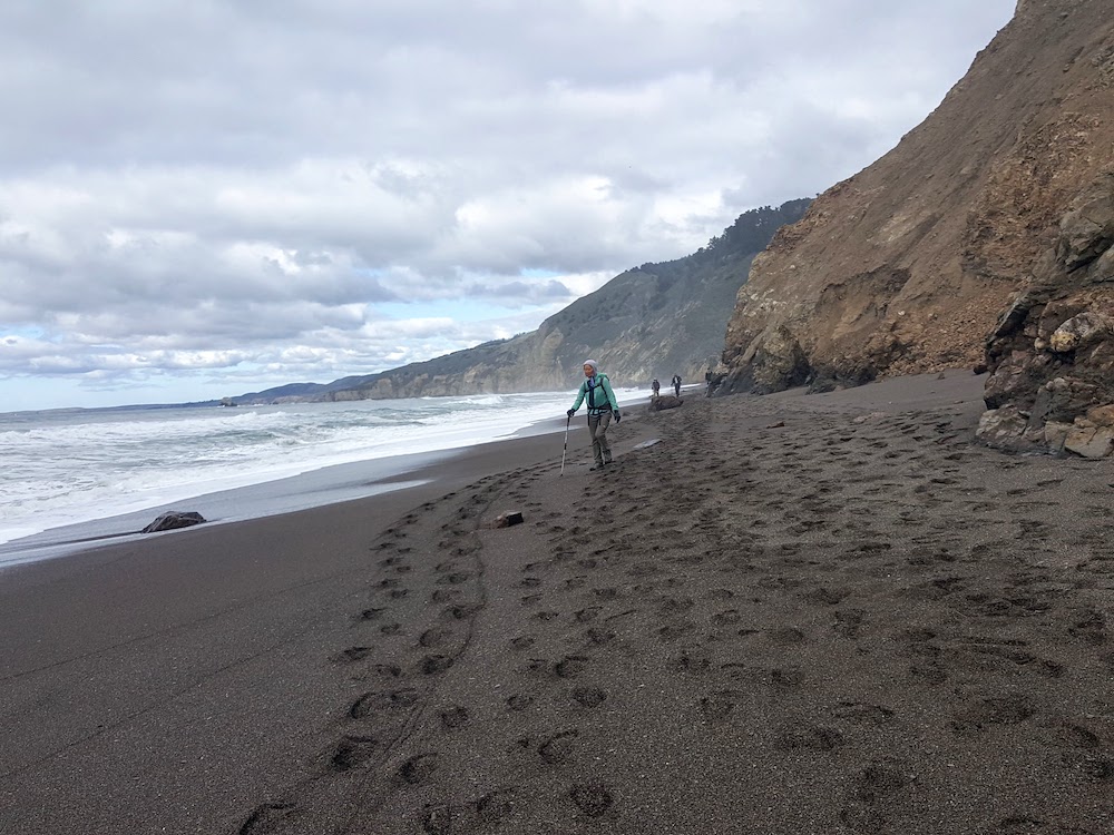
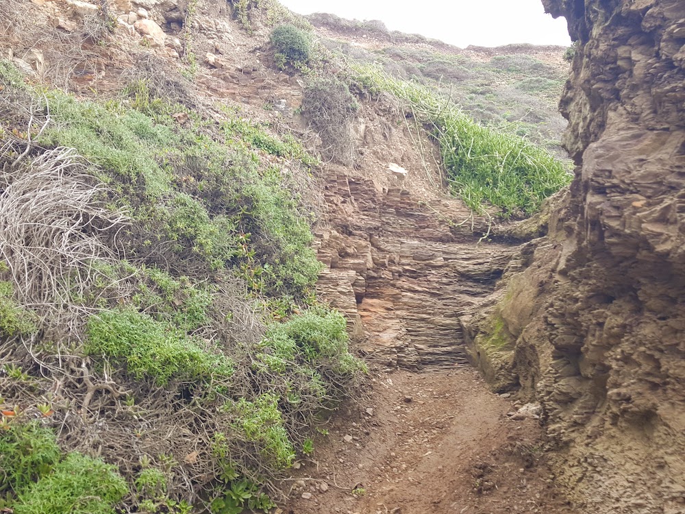
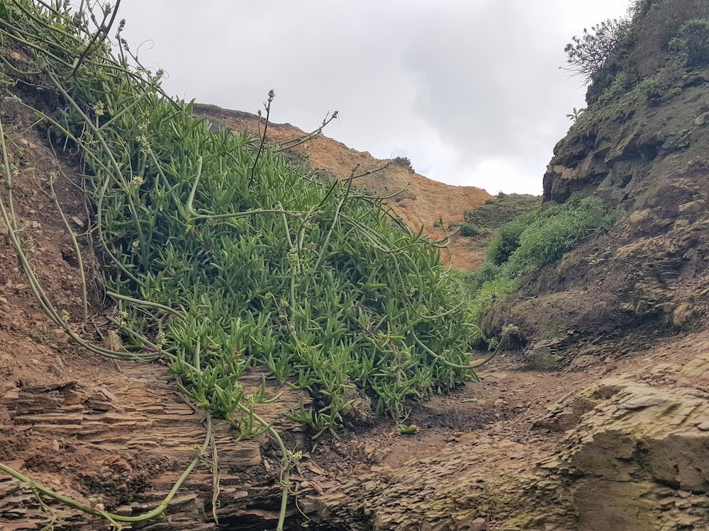
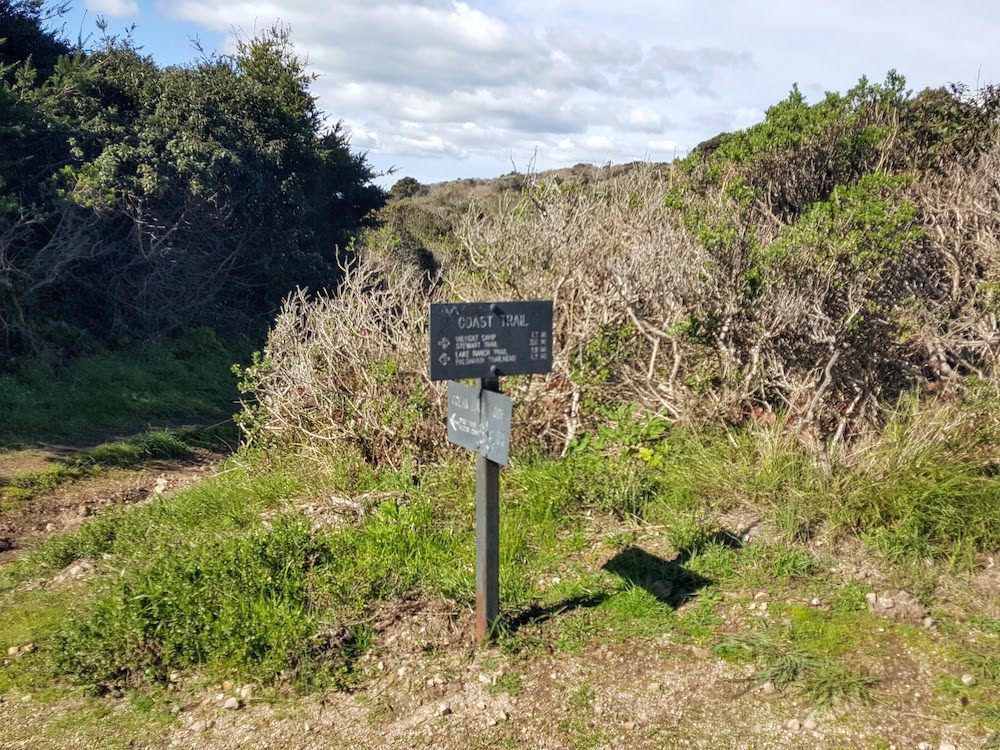
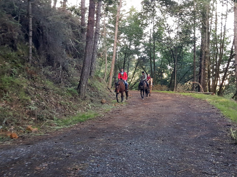
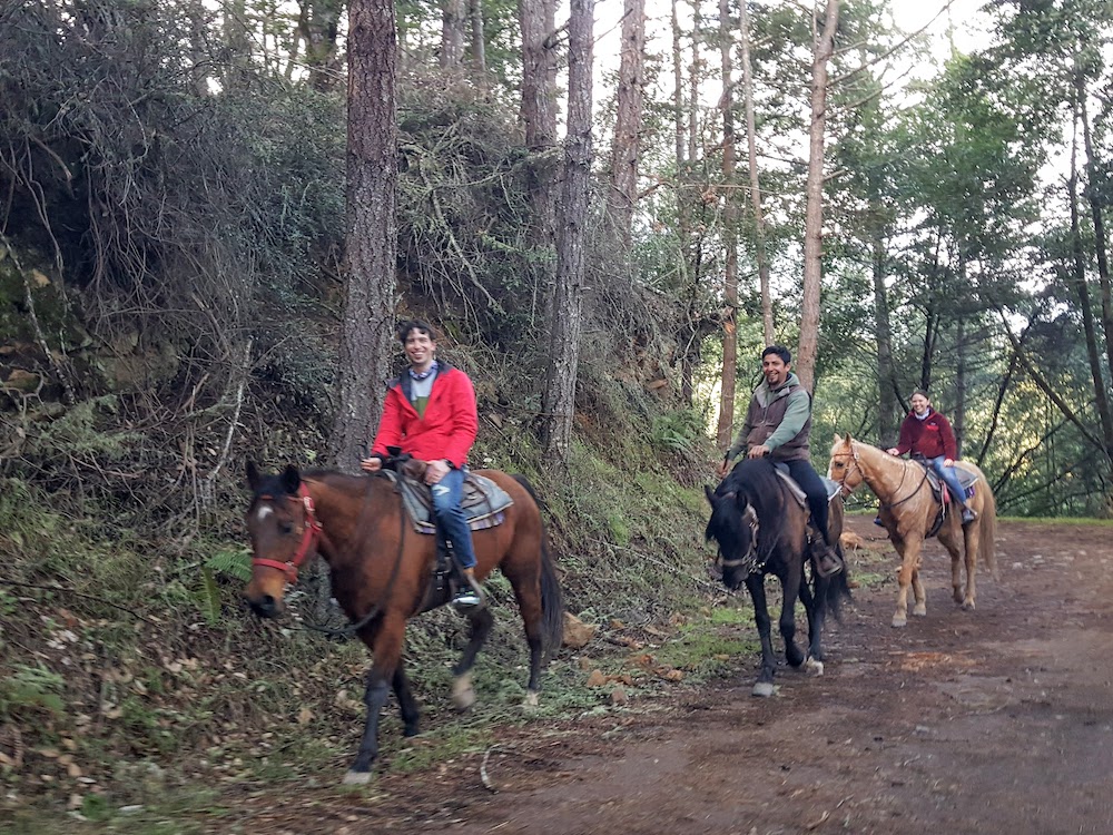
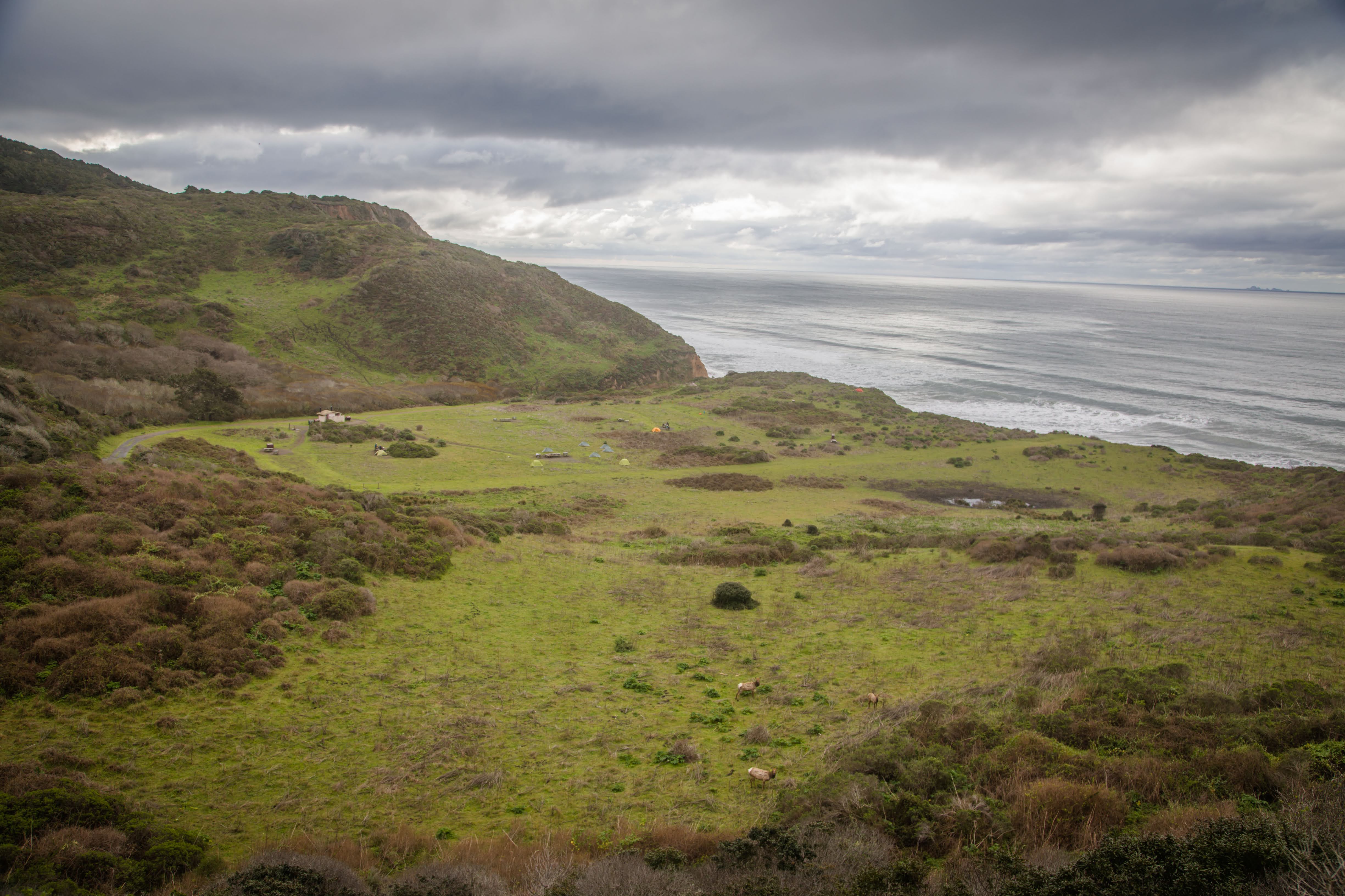
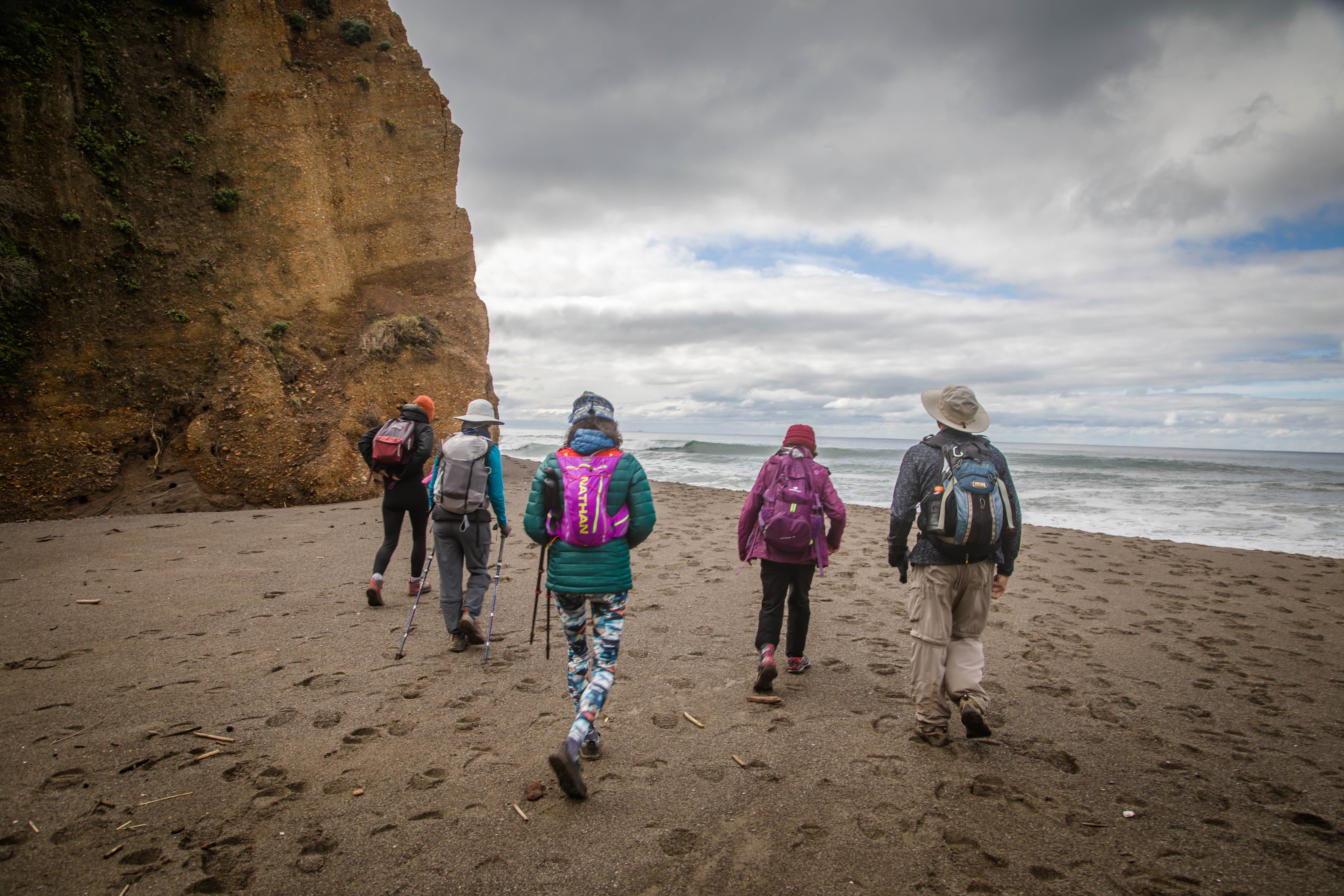
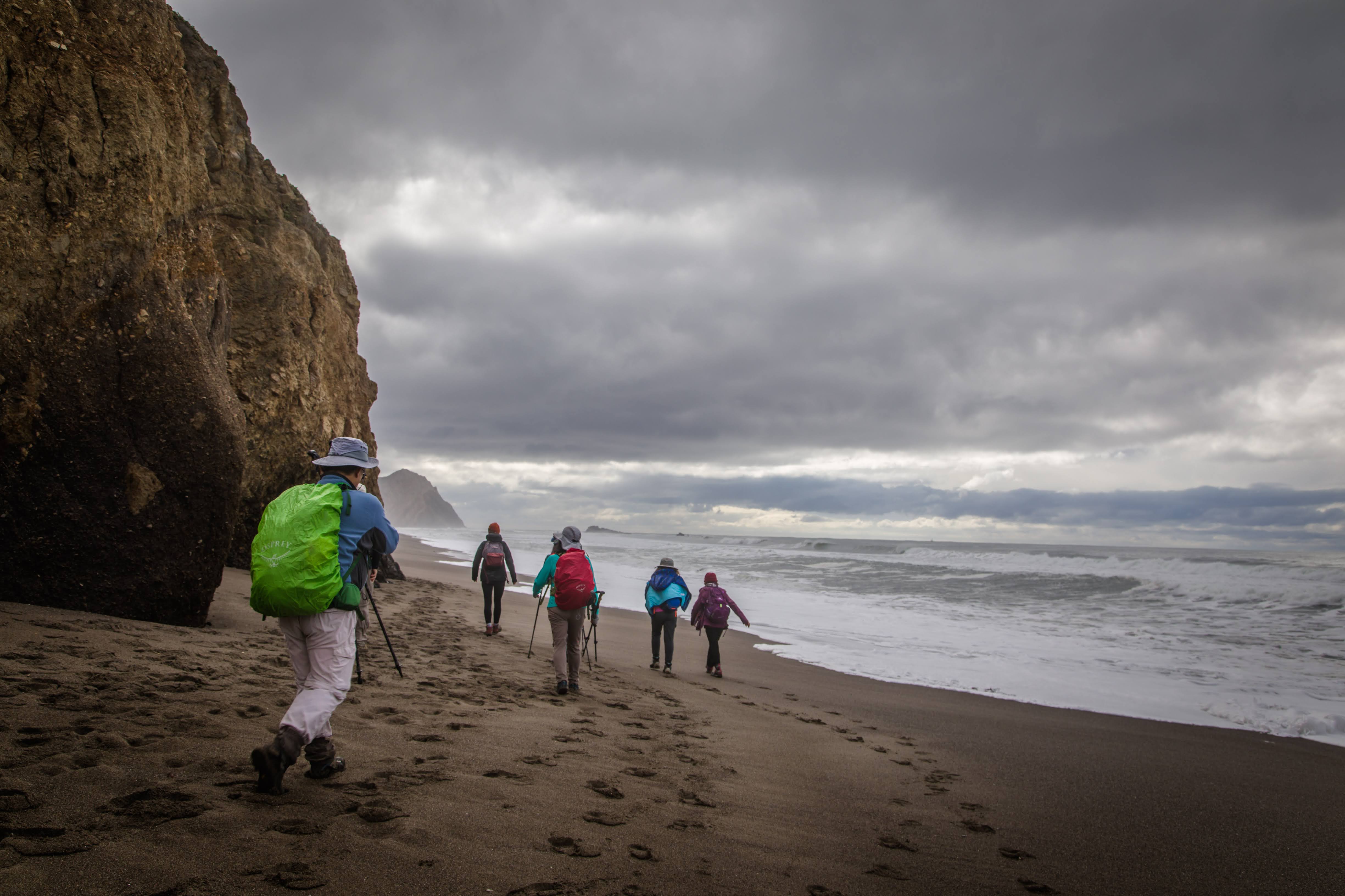
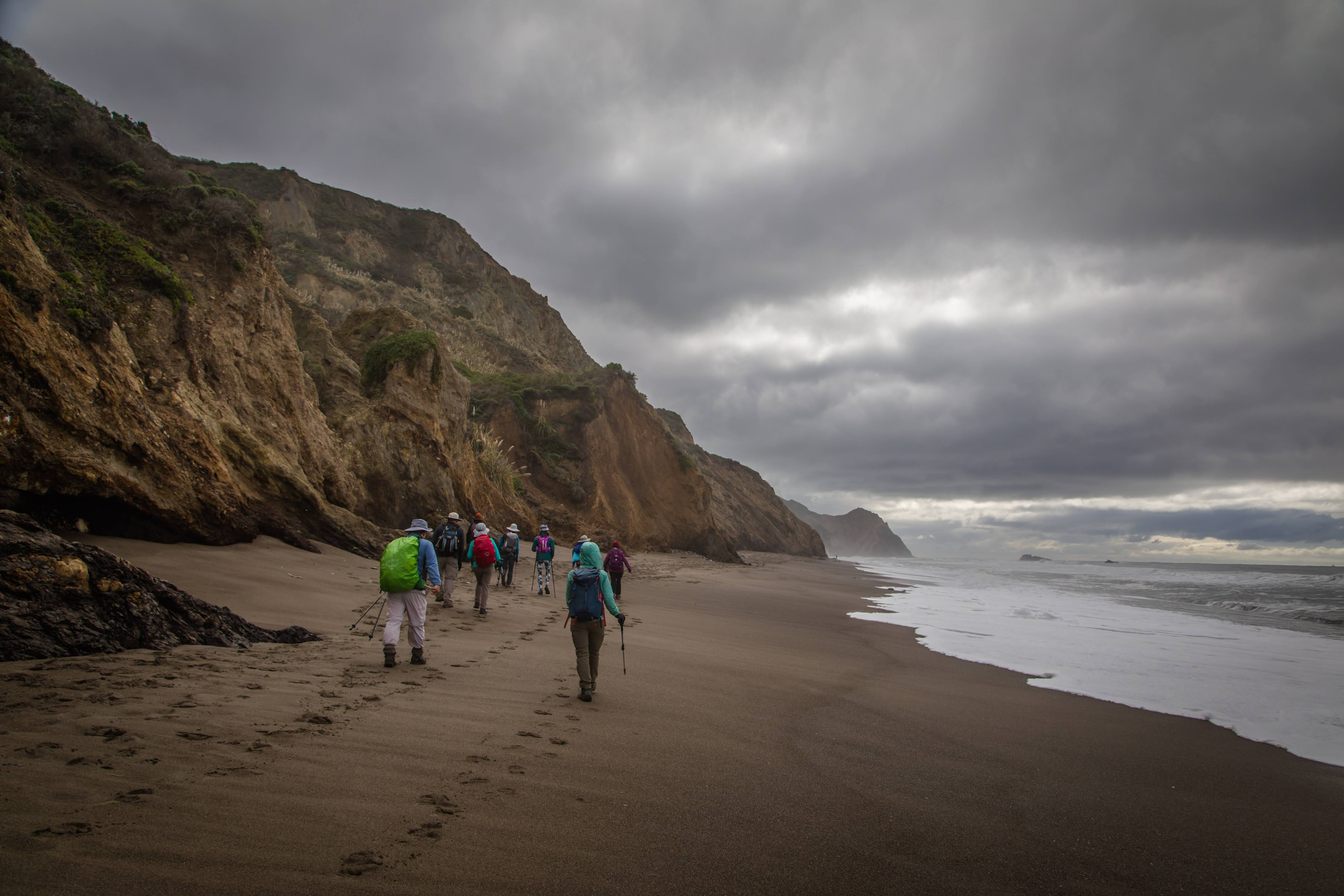
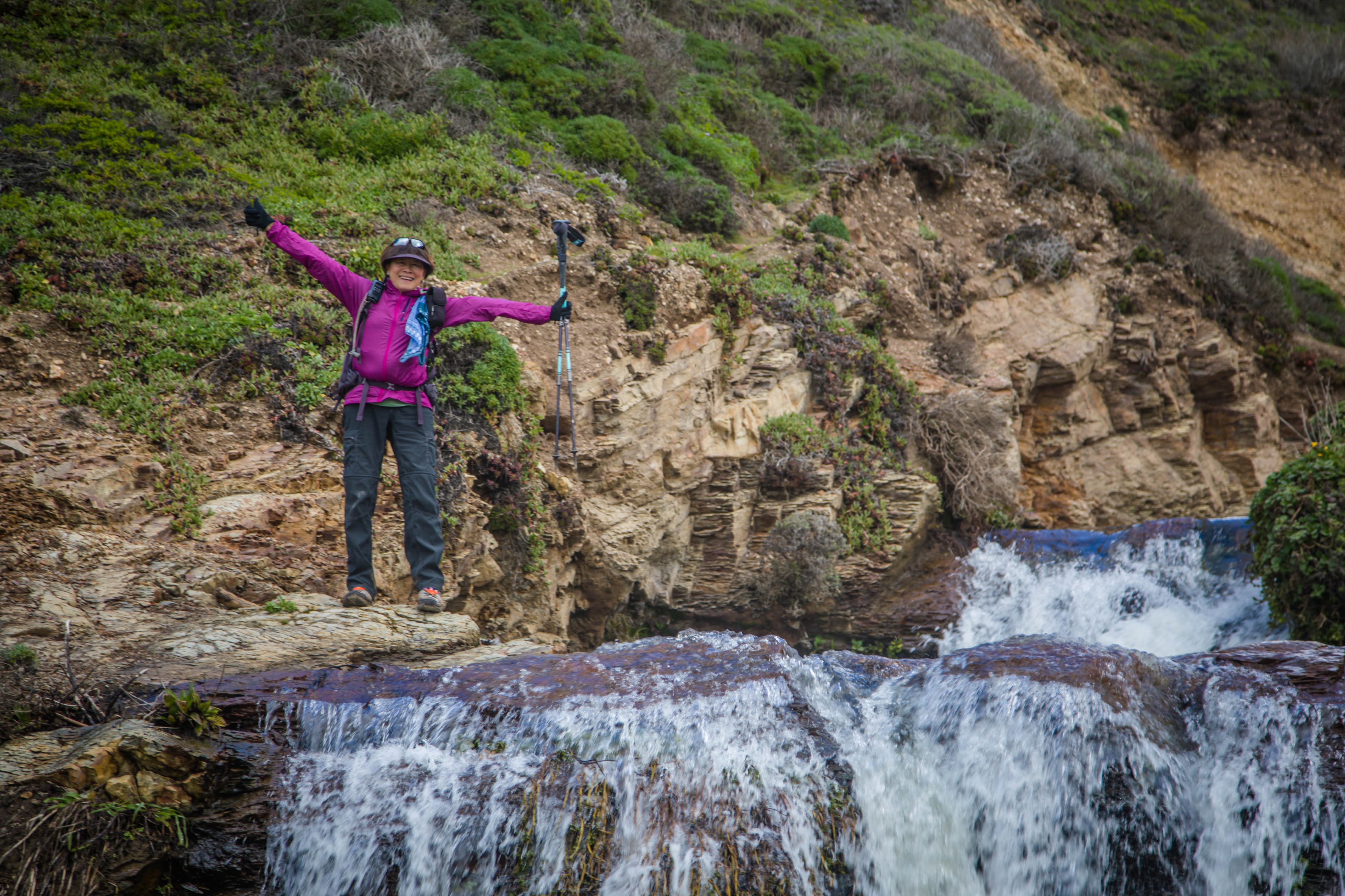
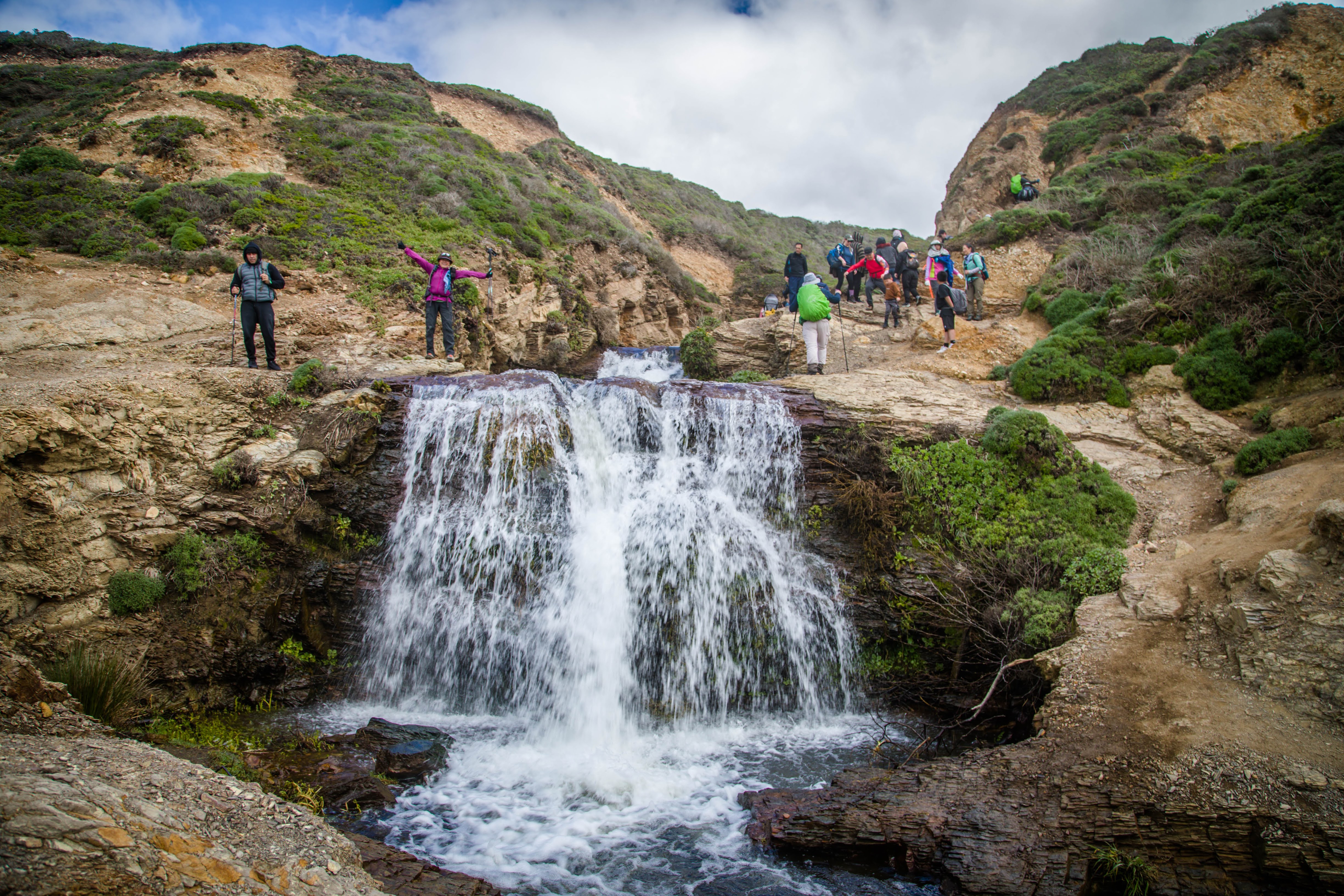
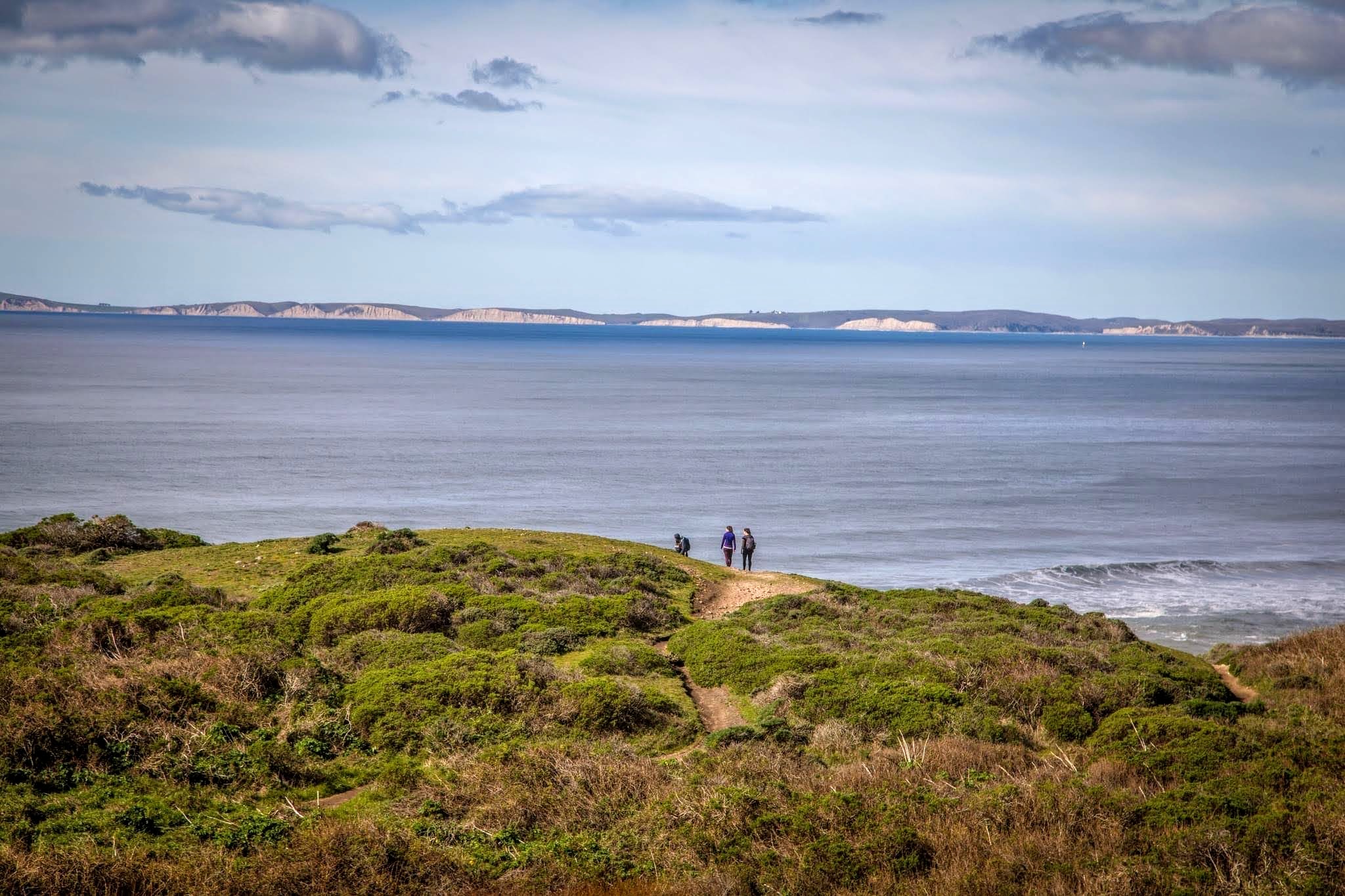
#AlamereFalls can be reached by following the Coast Trail from the Palomarin Trailhead at the end of Mesa Road out of Bolinas, California. After 2.5 mi (4.0 km), the trail passes two small lakes (Bass Lake and Pelican Lake). Bass Lake can be accessed by a side trail that leads to a rope swing, and hikers often stop for a swim during summer months. From the Palomarin Trailhead, the hike is 3.8 mi (6.1 km), one-way, to the top of the falls. To reach the bottom of the falls, the National Park Service advises hikers to continue to Wildcat Campground, descend to the beach and then walk 1.1 mi (1.8 km) south; the one-way distance from Palomarin Trailhead to the base of the falls is 6.6 mi (10.6 km). This trail leads along the beach, check out the tides before to figure out the exact time for low tide. Usually, the beach to Alamere Falls is unsafe to access at high tide, and hikers are frequently trapped.
.
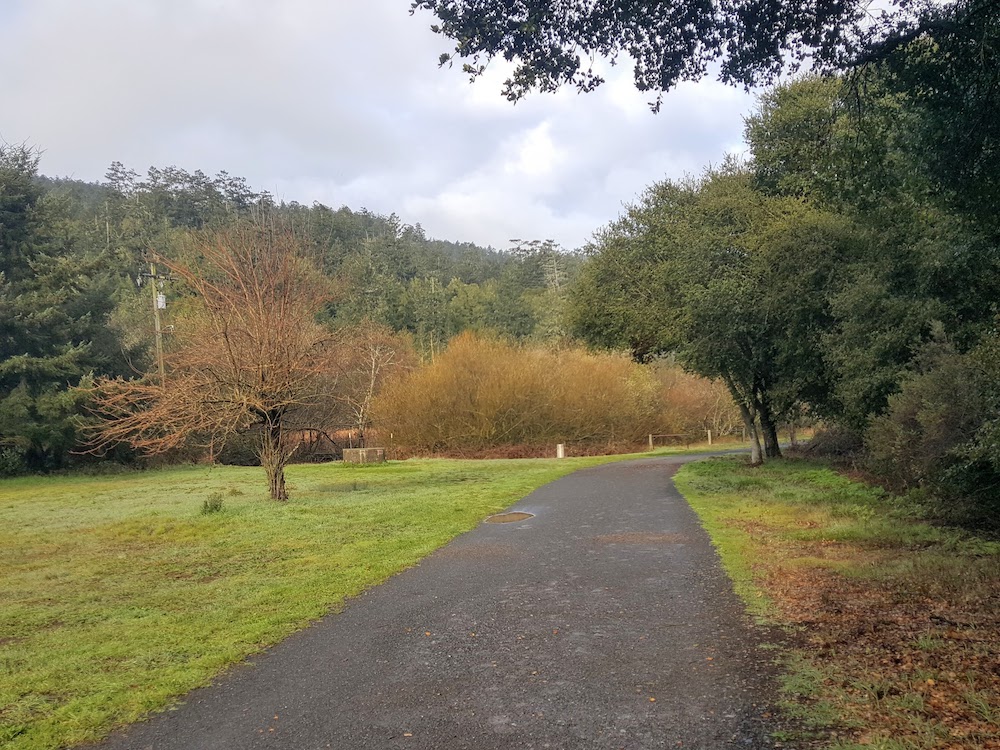
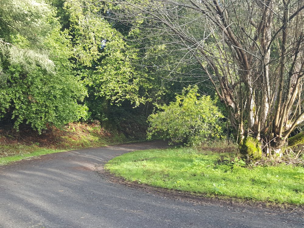
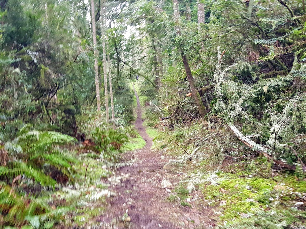
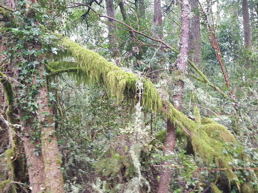
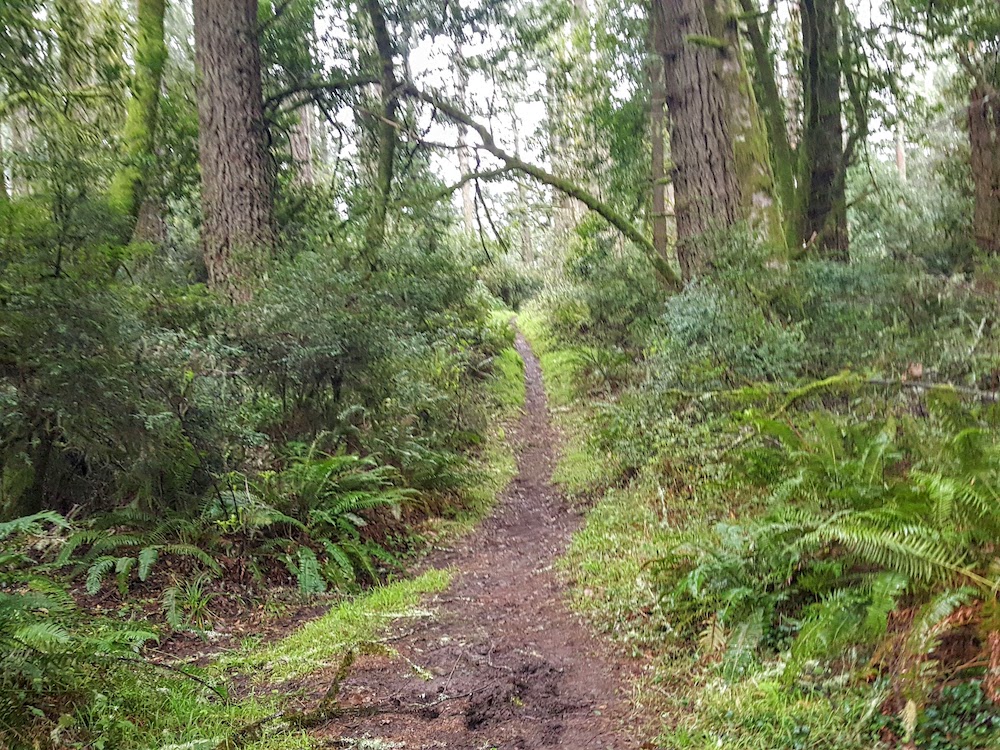
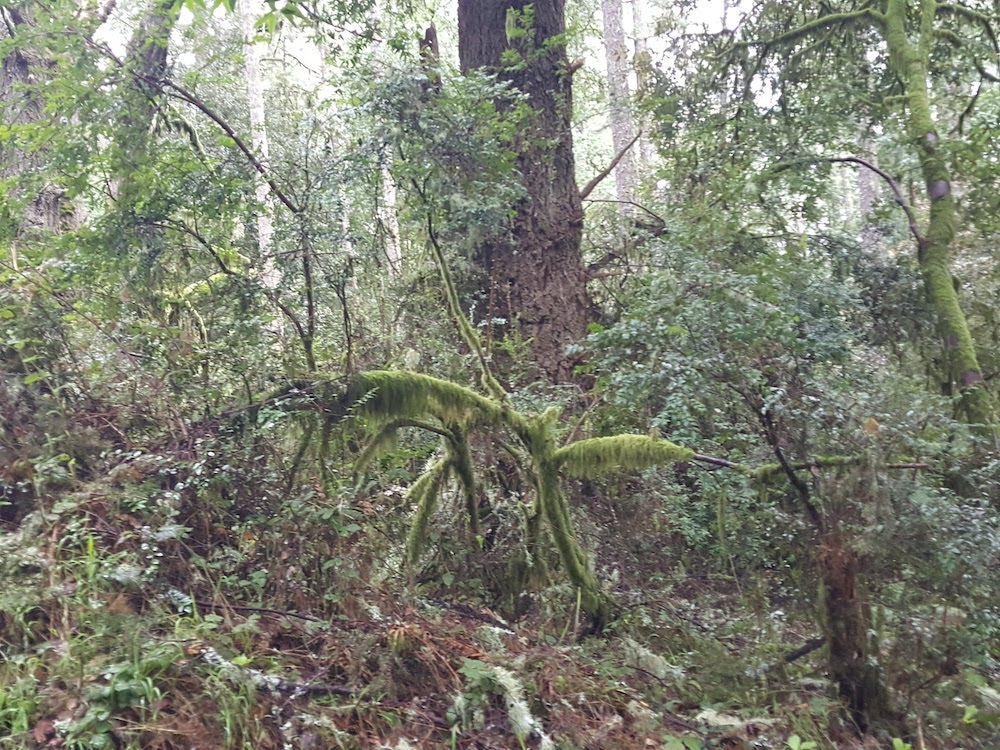
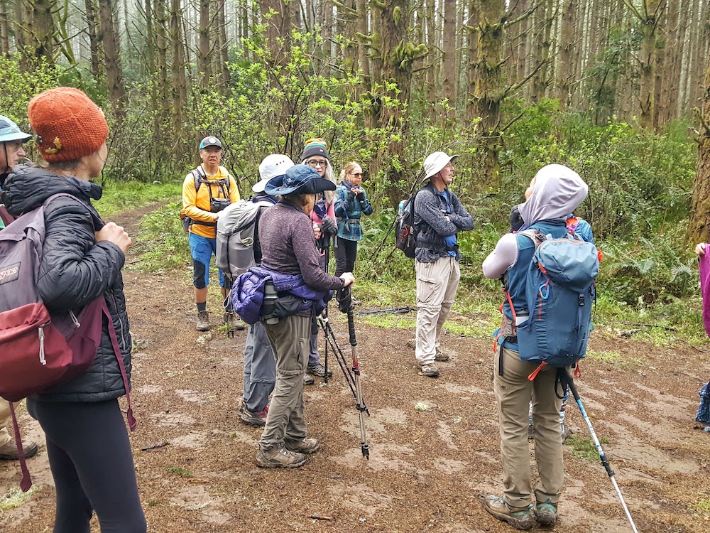
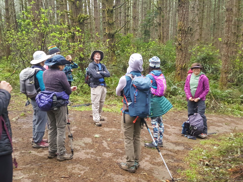
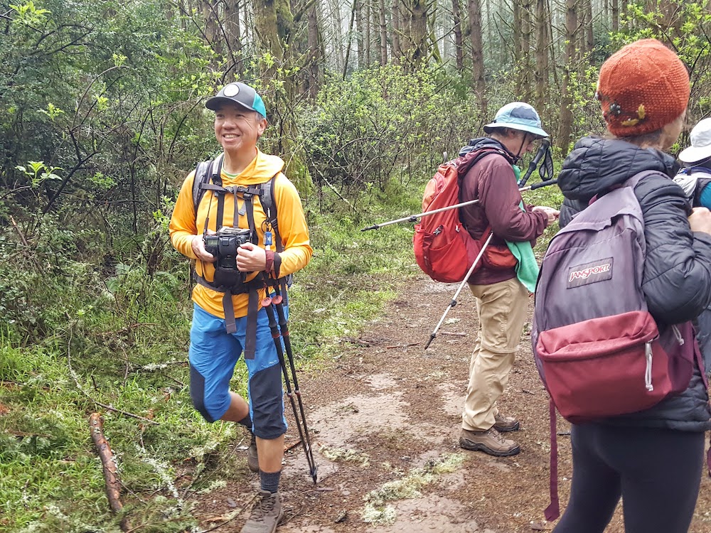
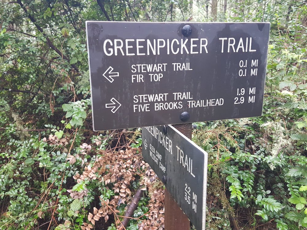
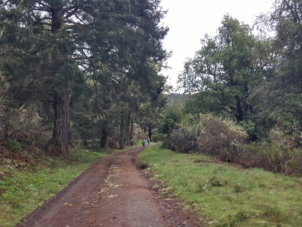
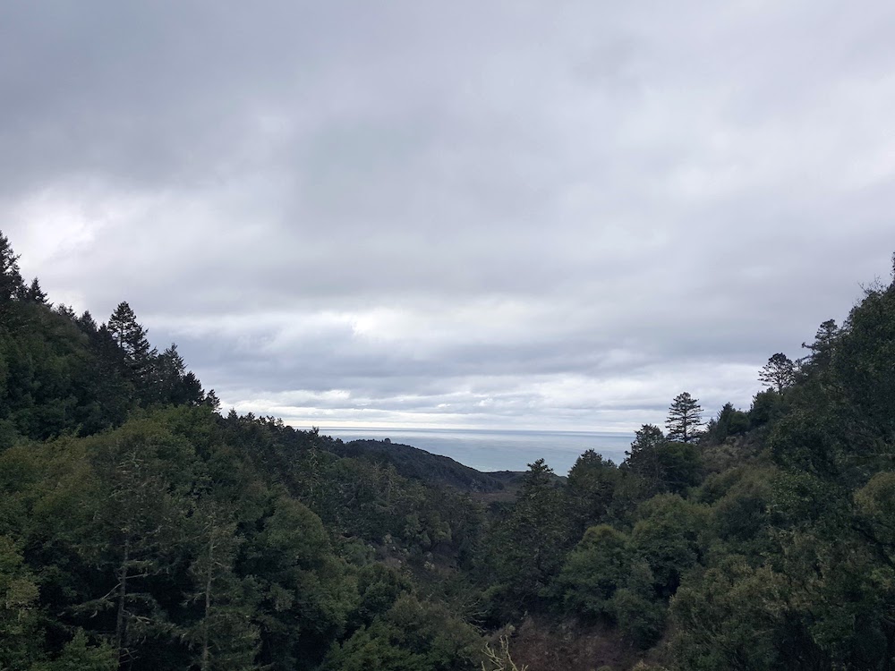
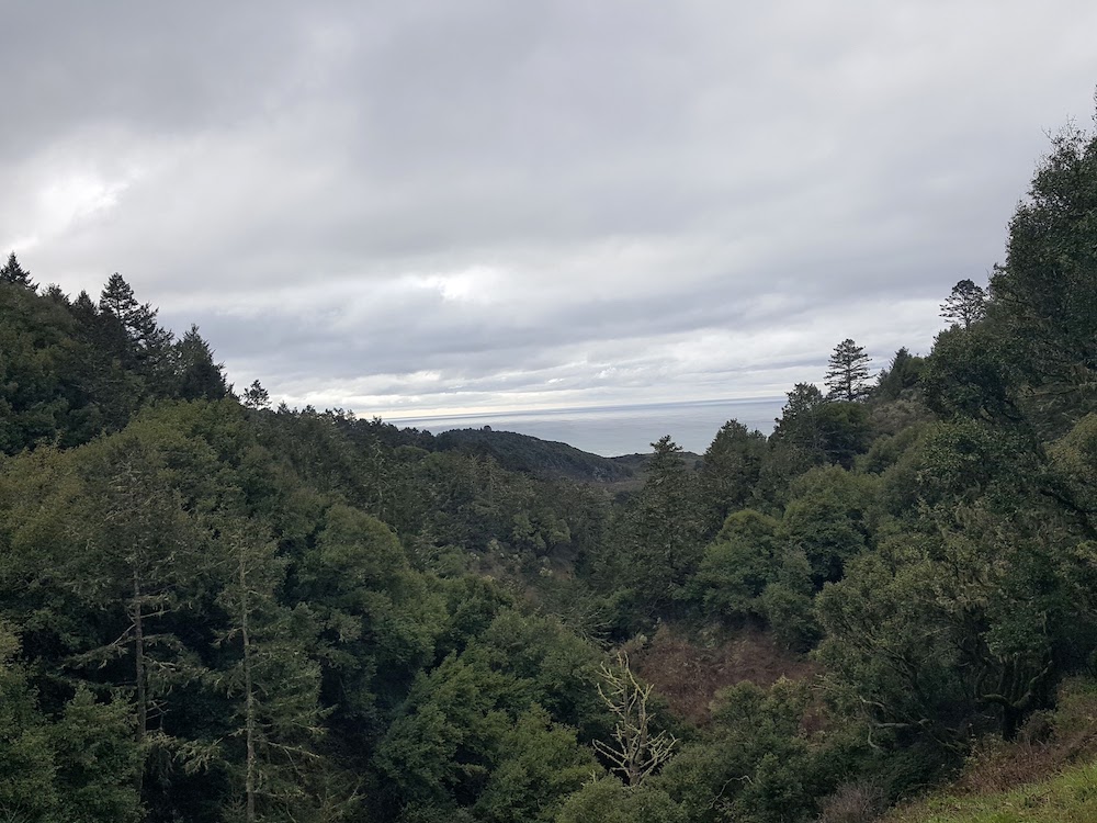
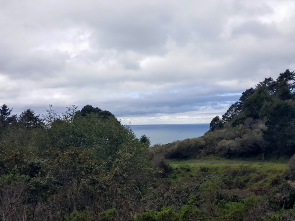
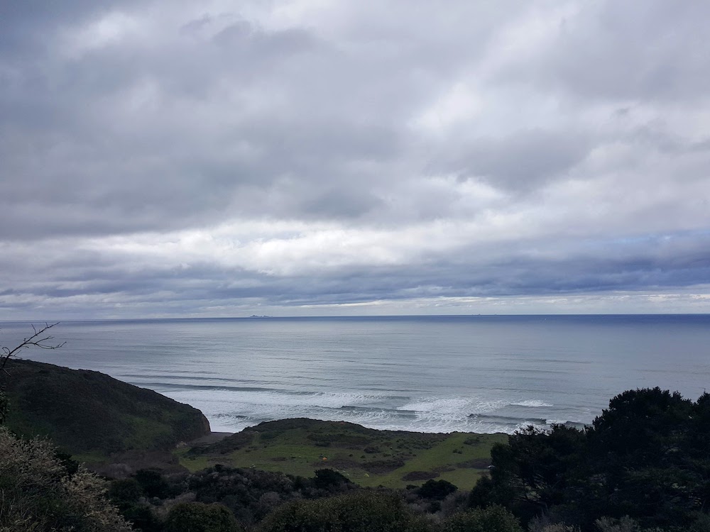
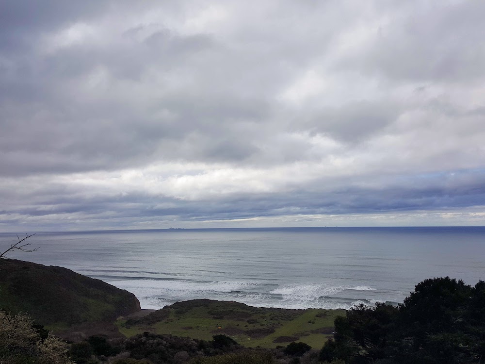
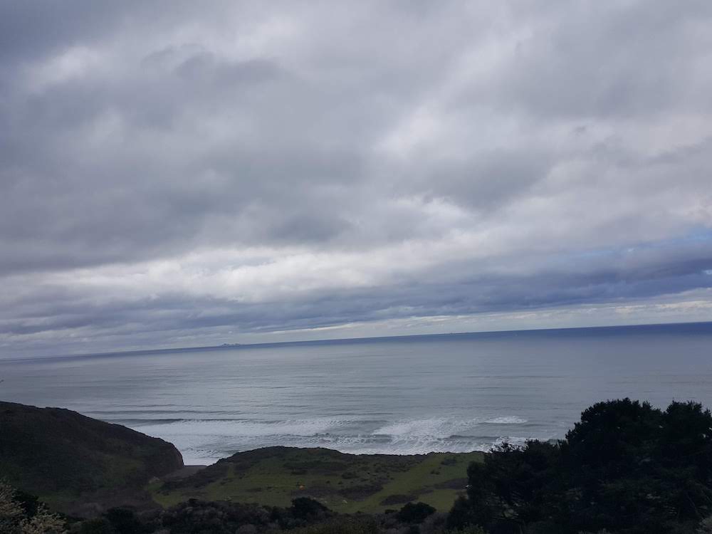
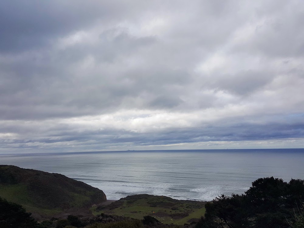
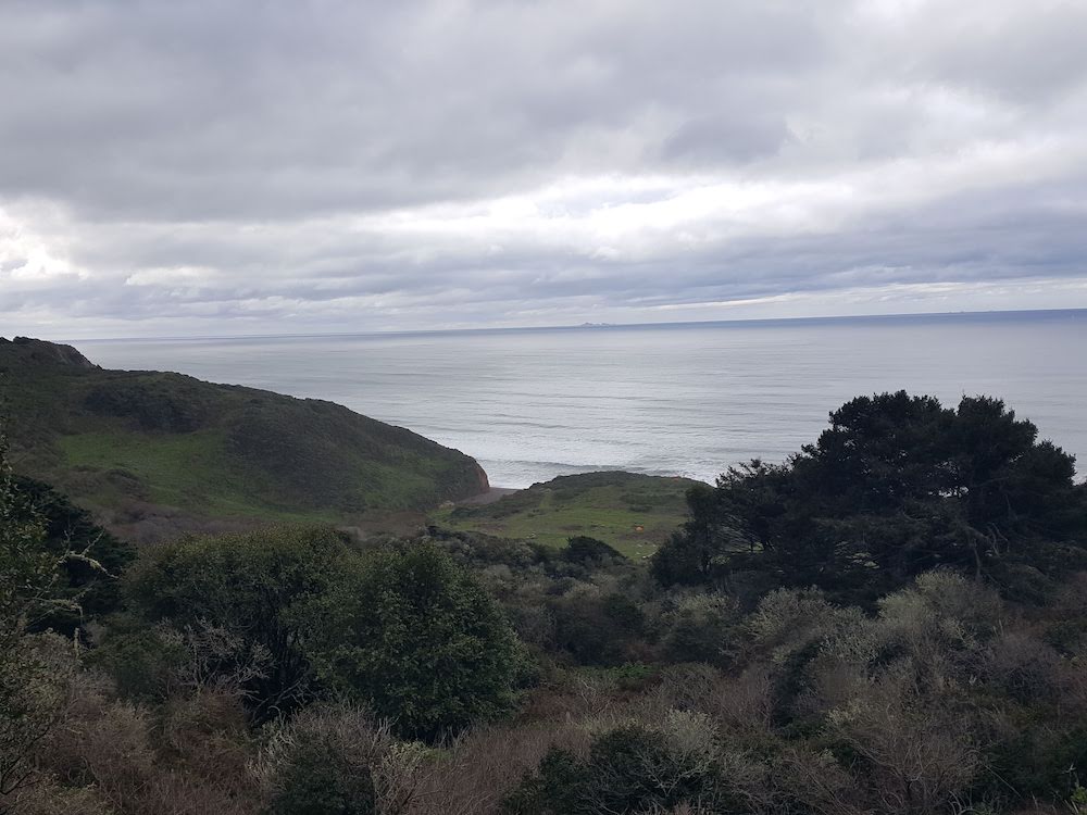
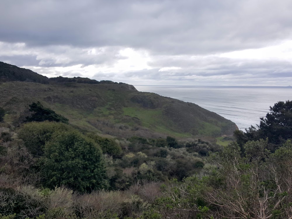
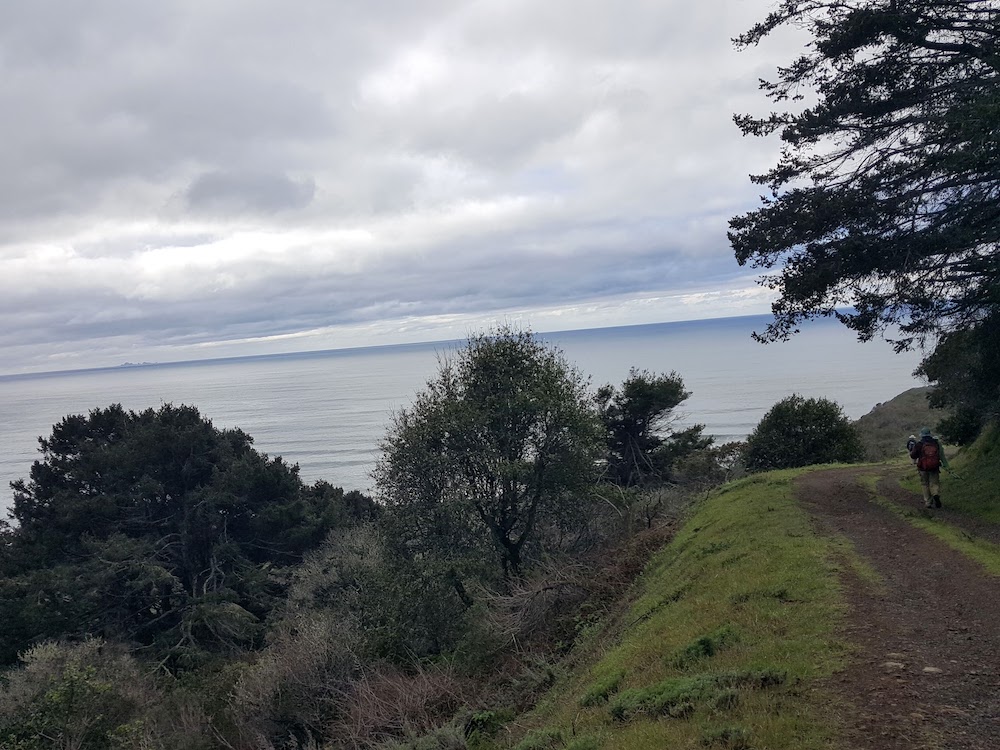
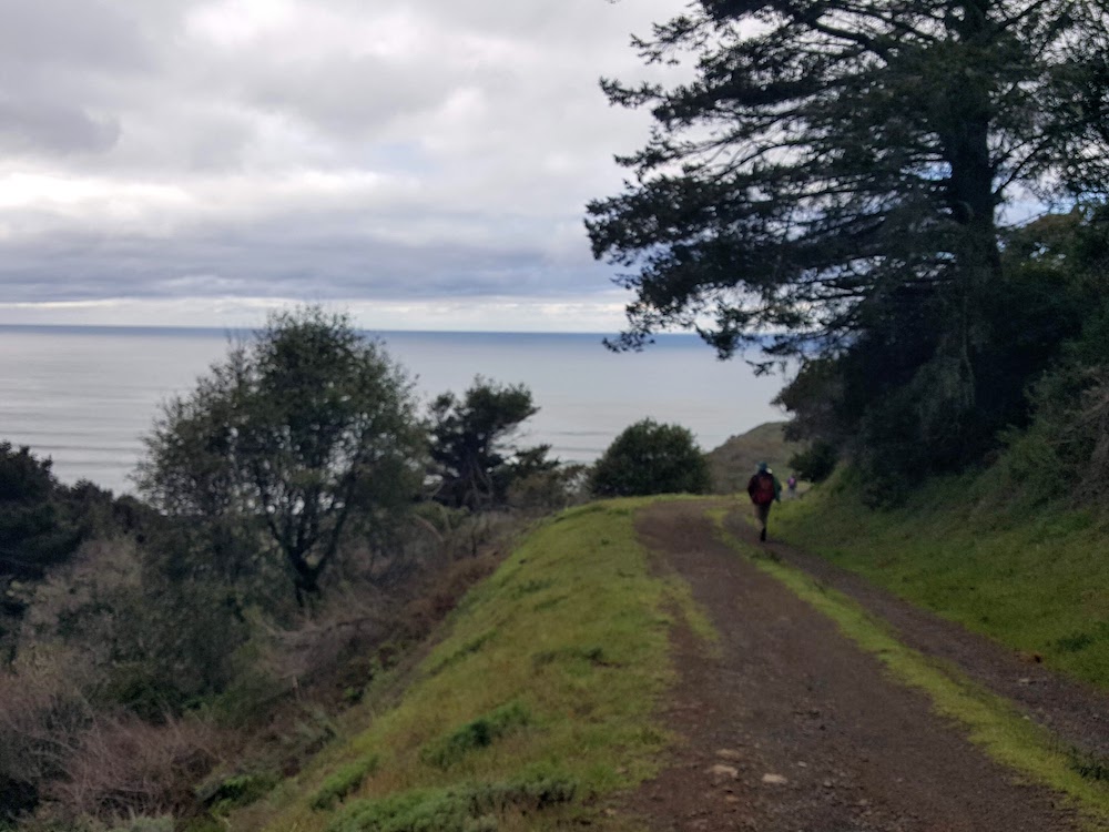
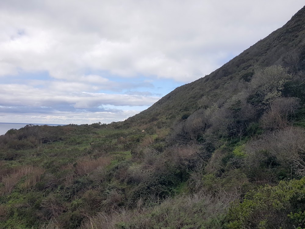
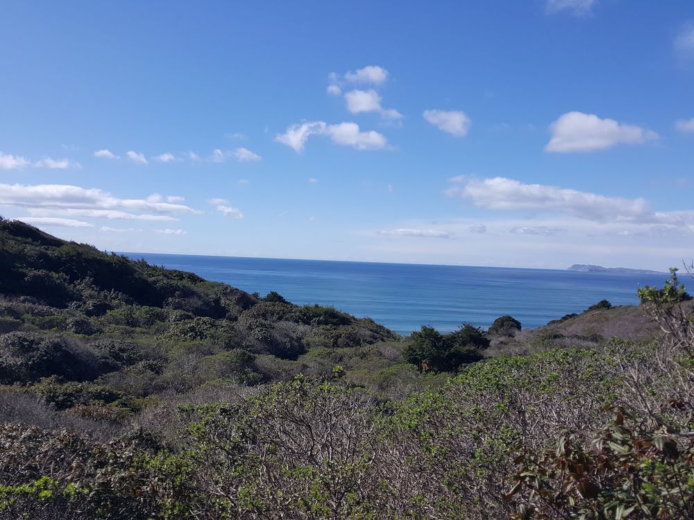
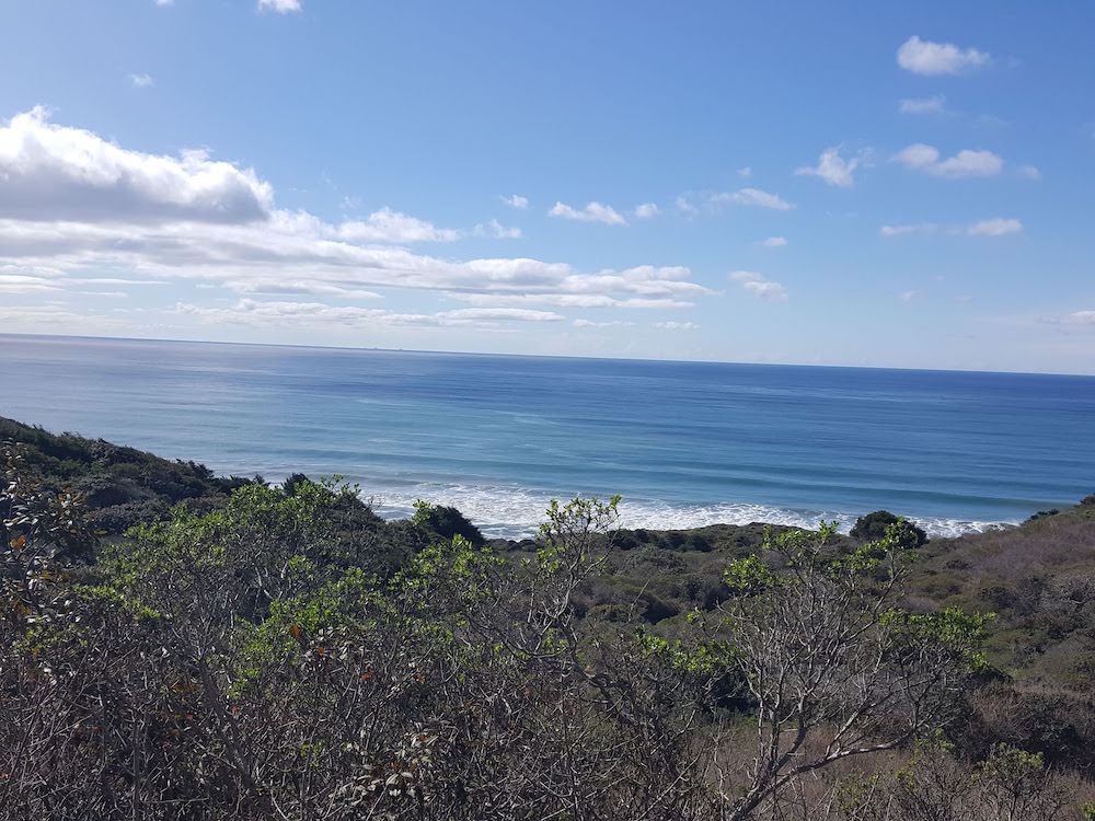
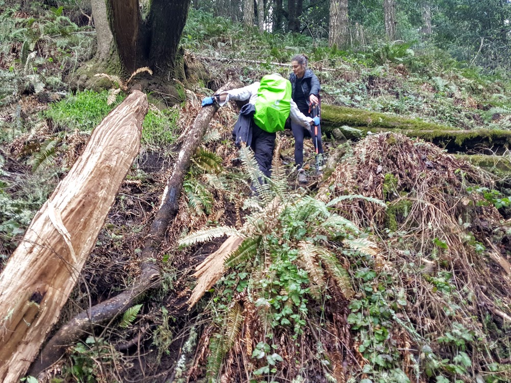
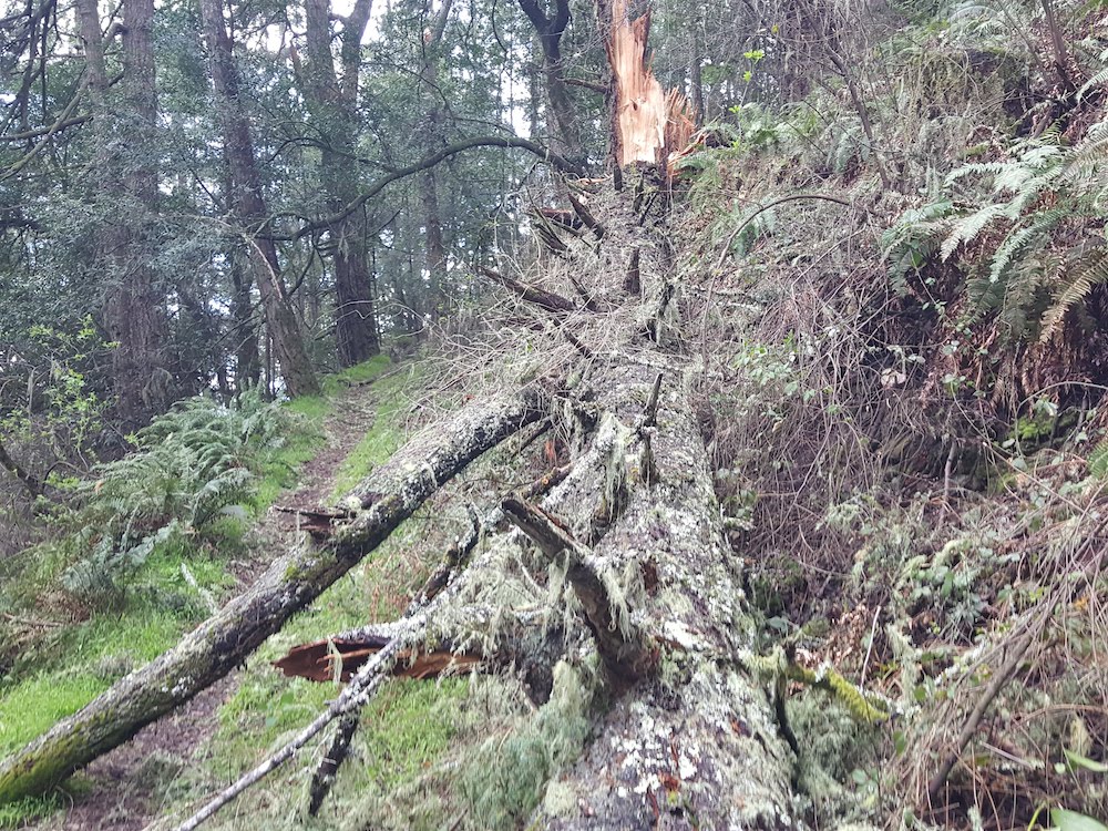
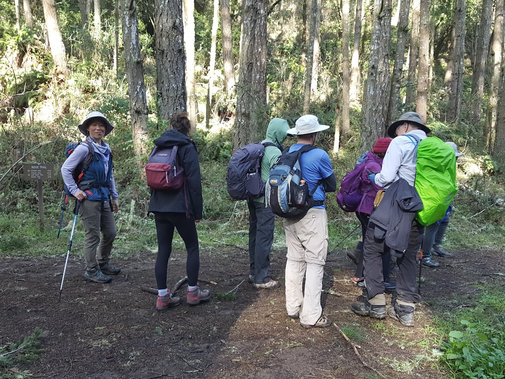
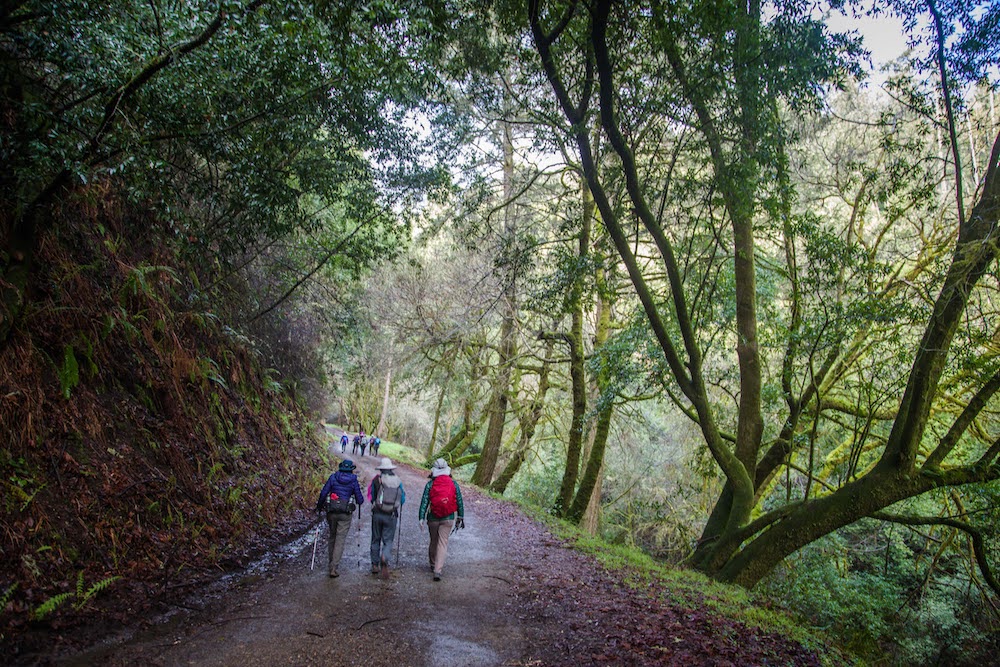
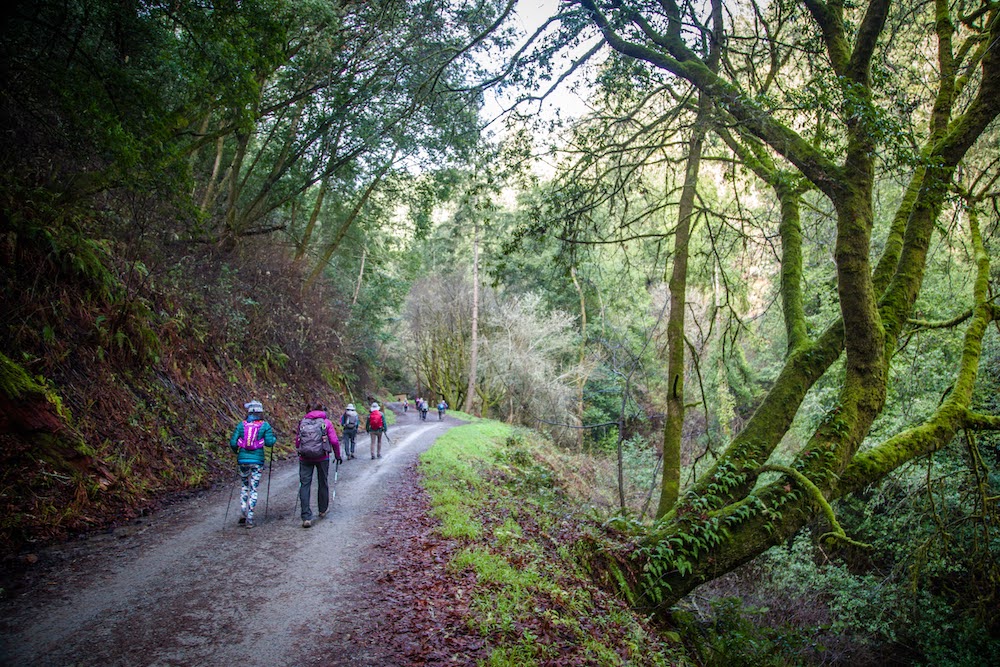
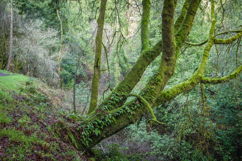
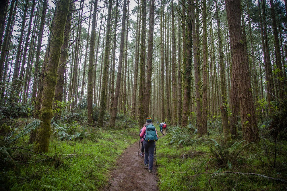
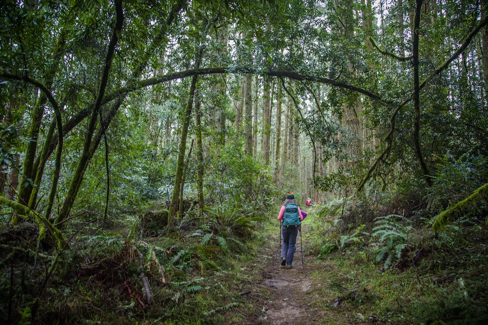
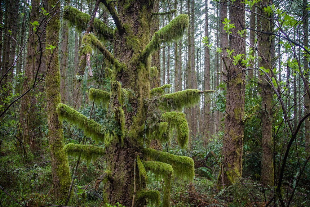
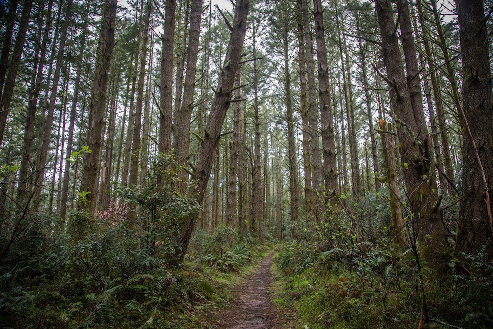
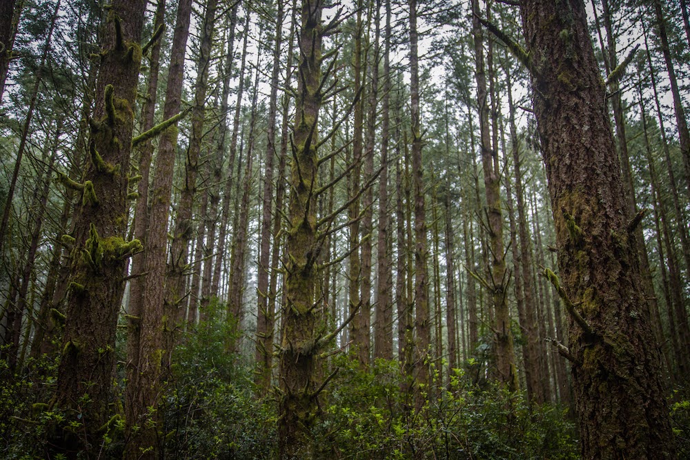
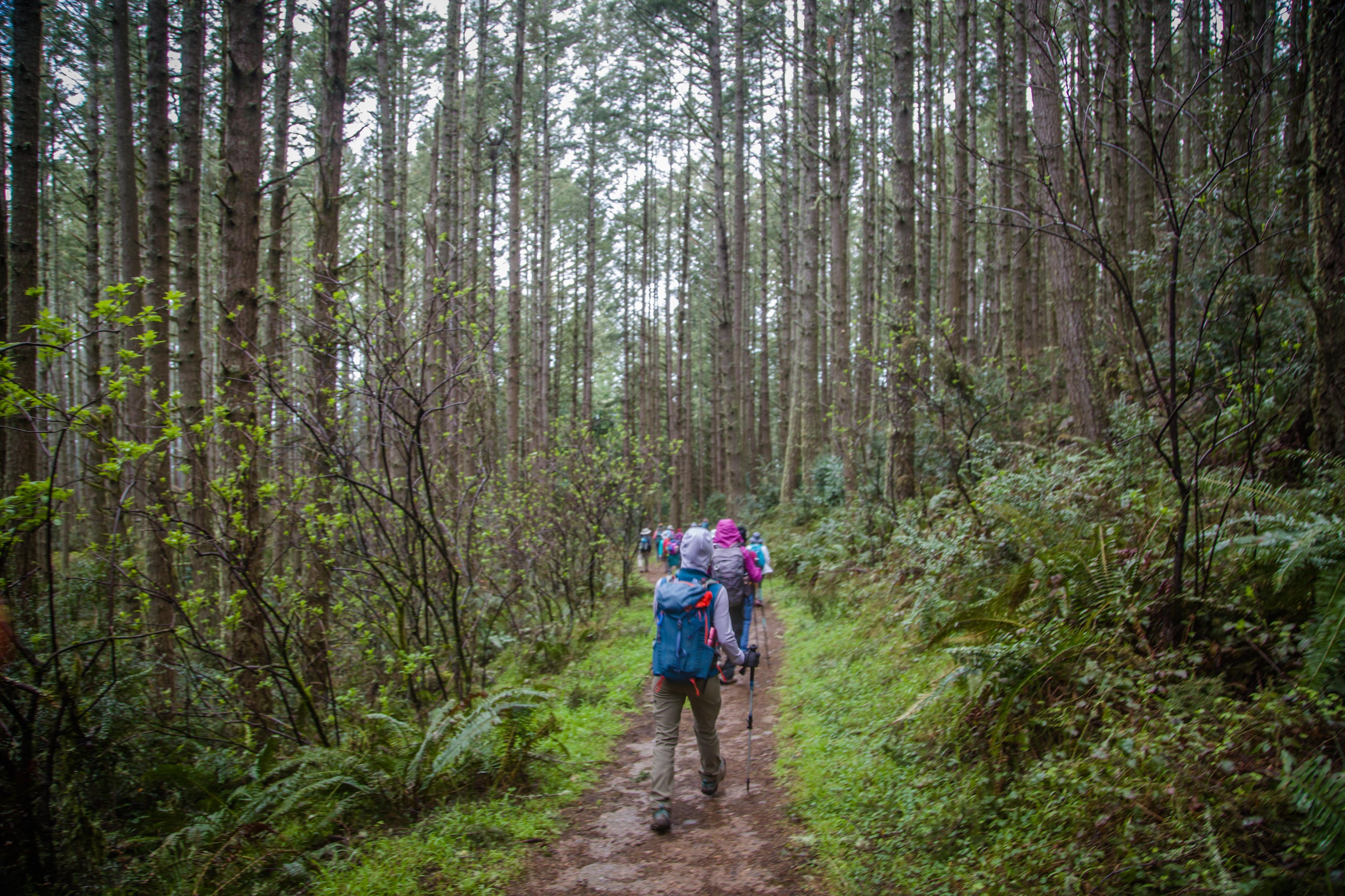
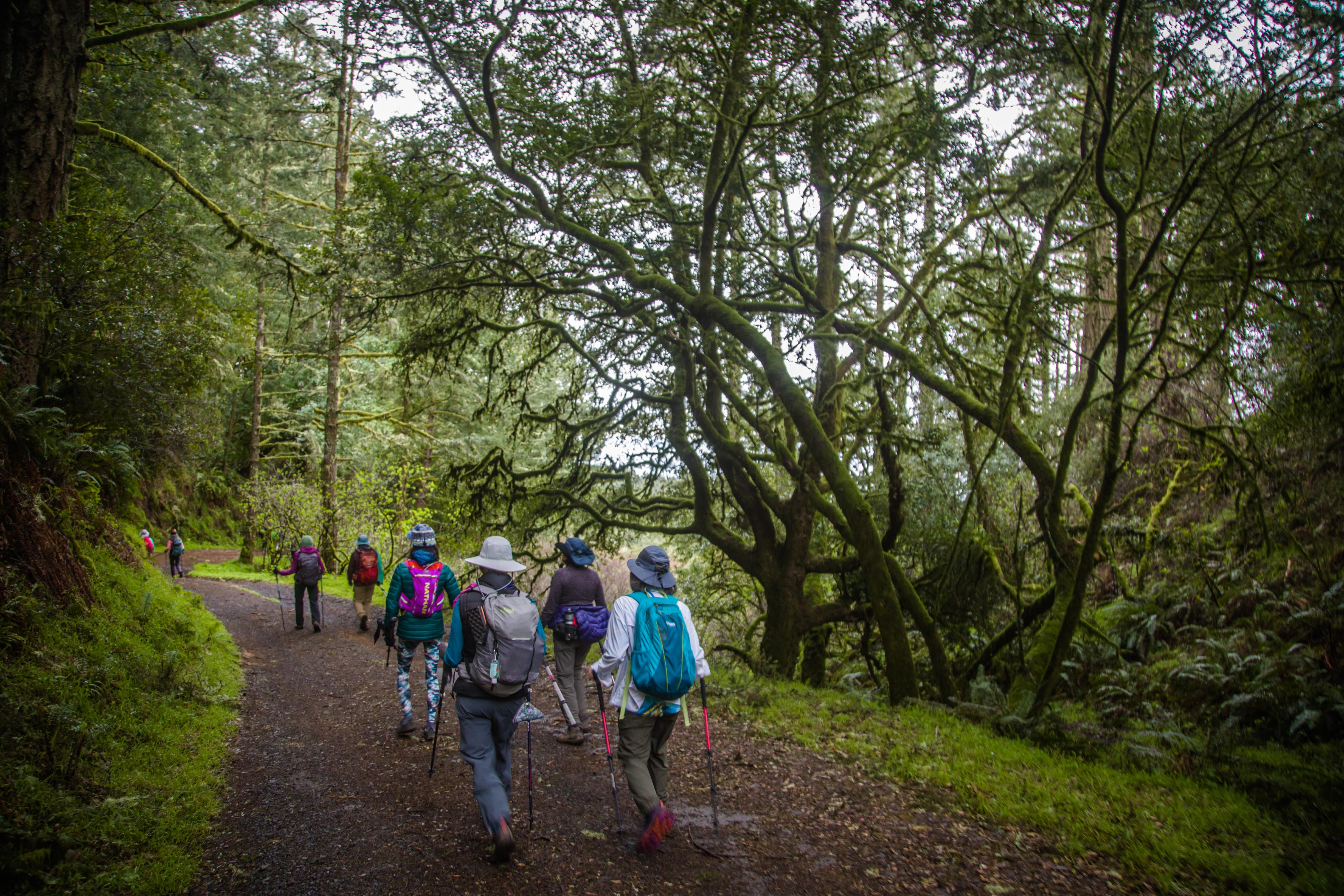
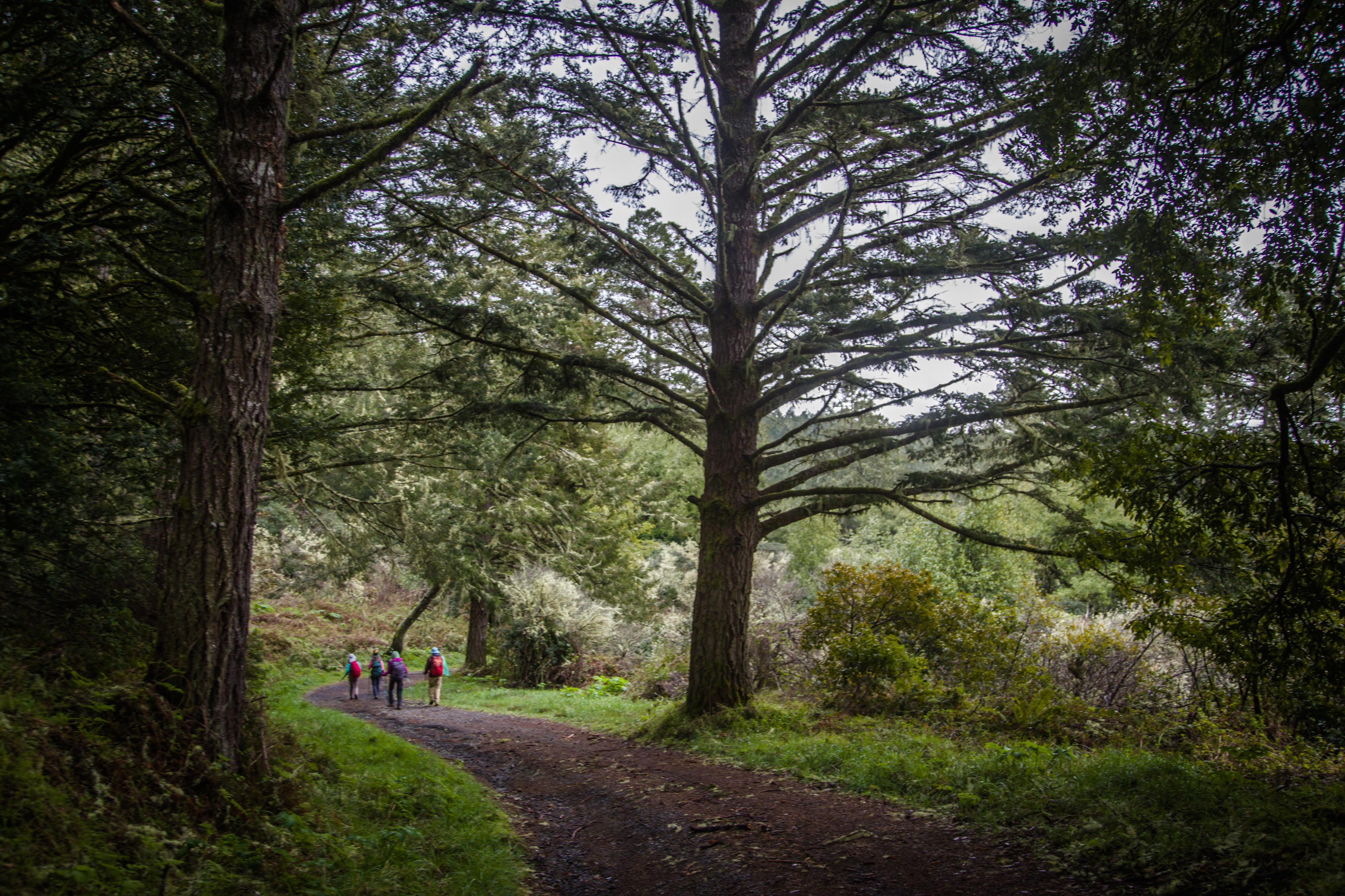
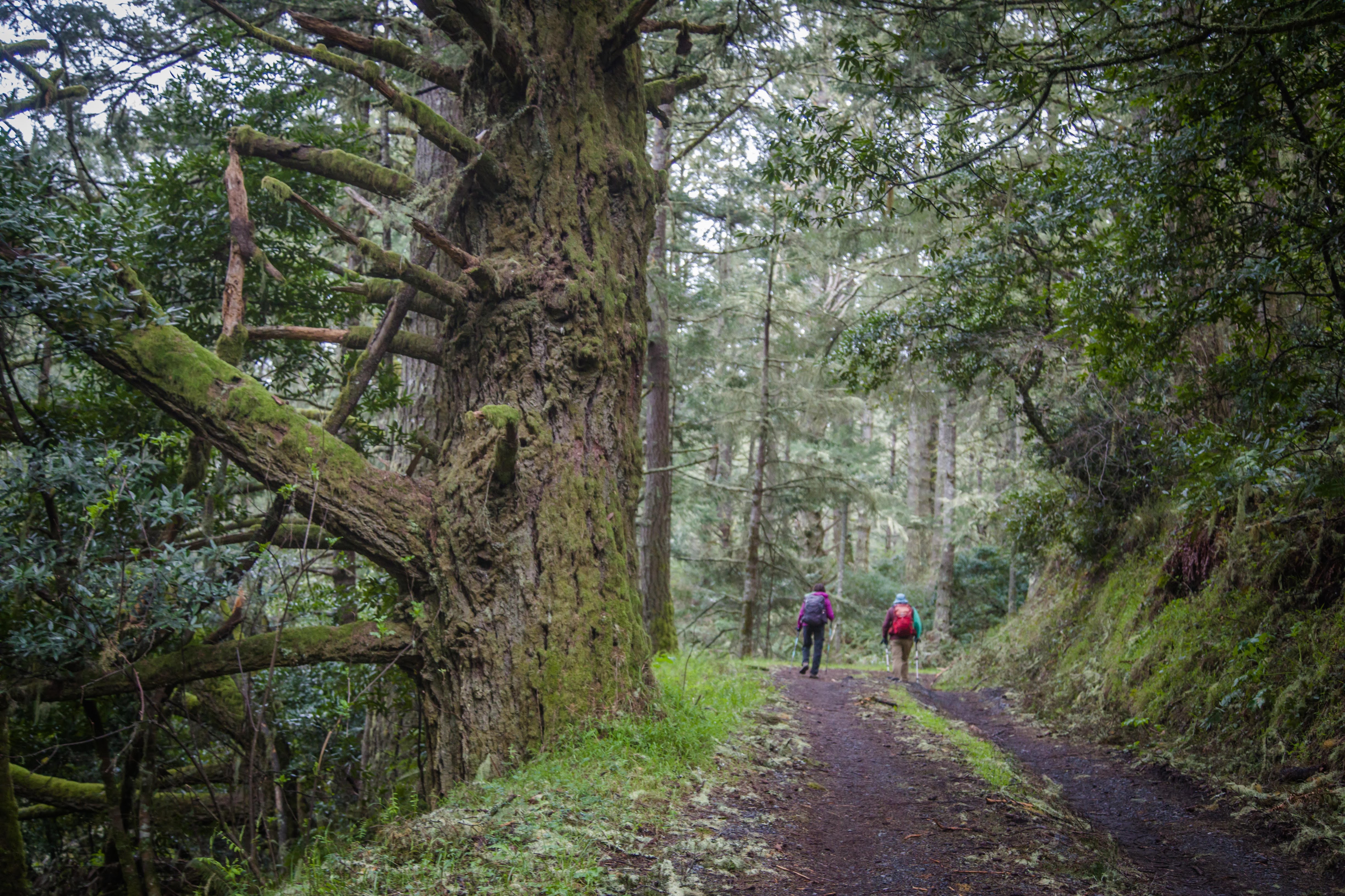
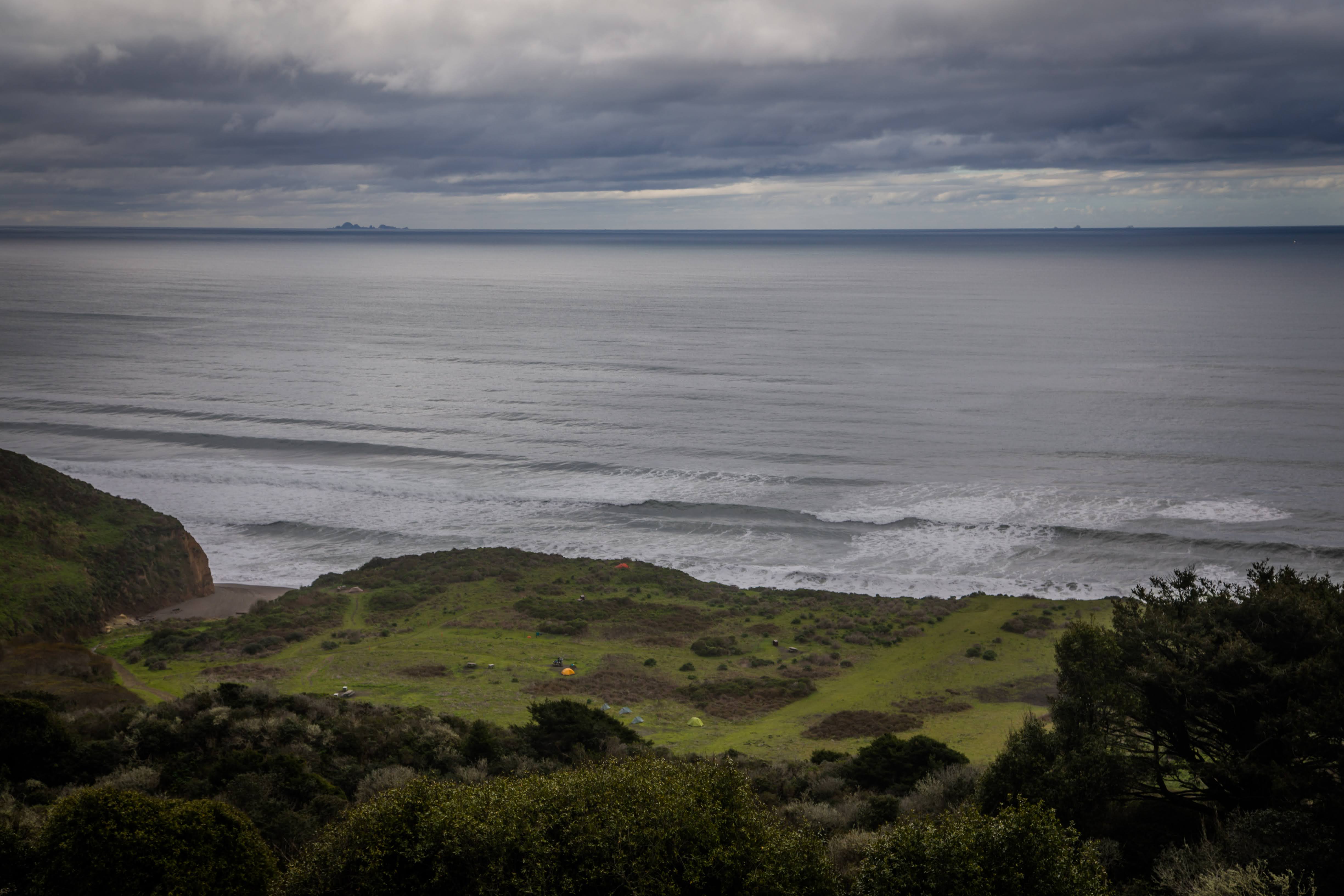
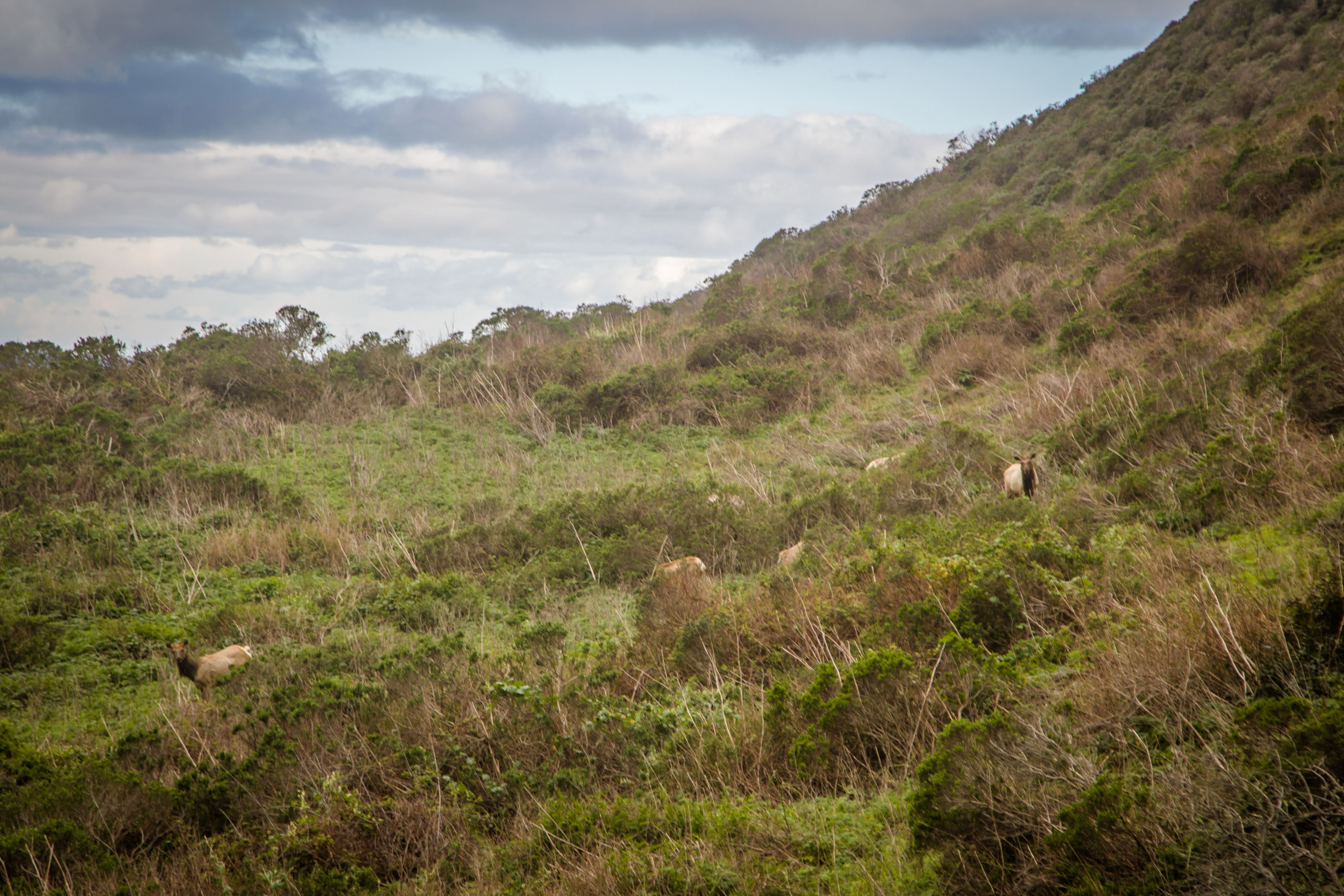
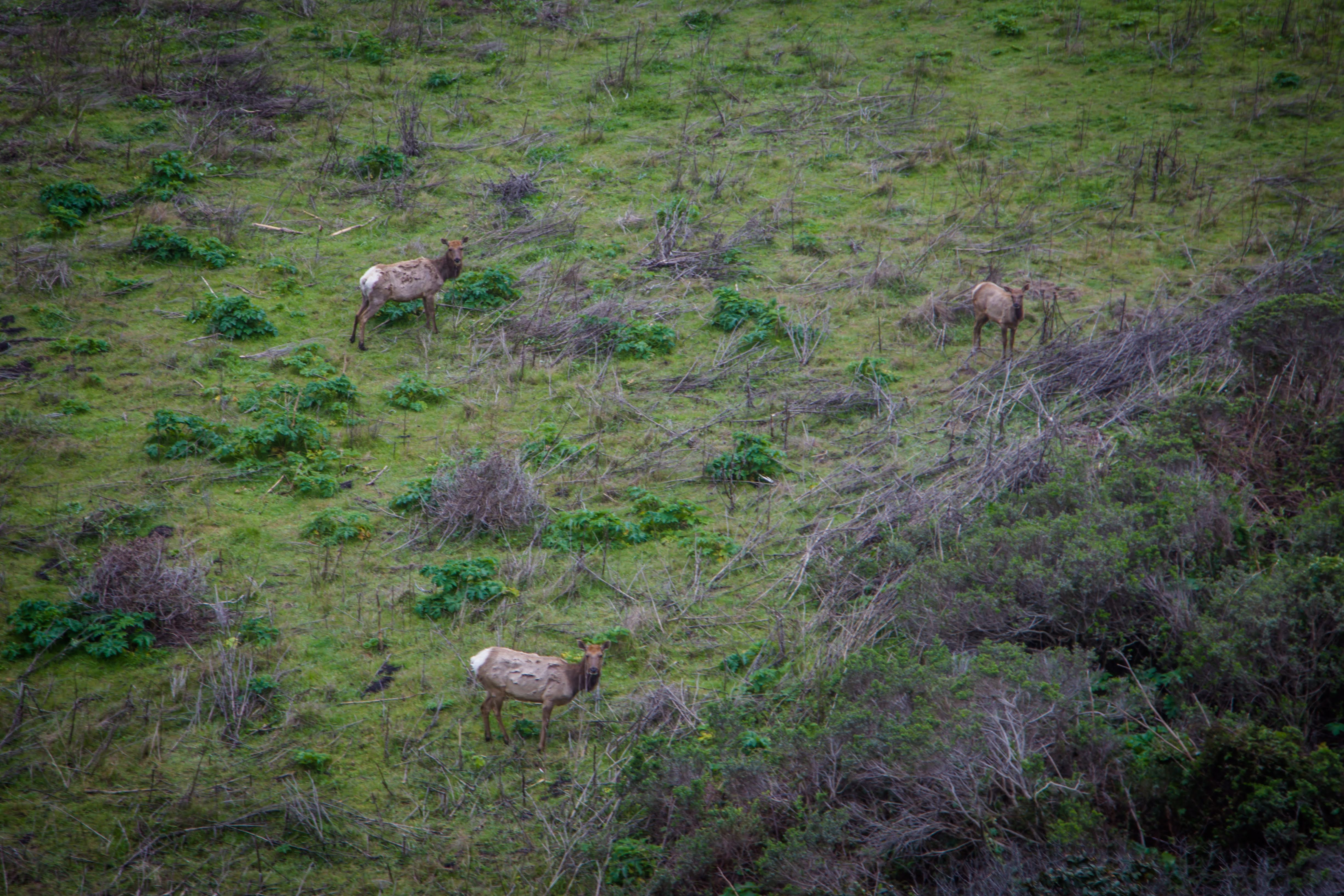
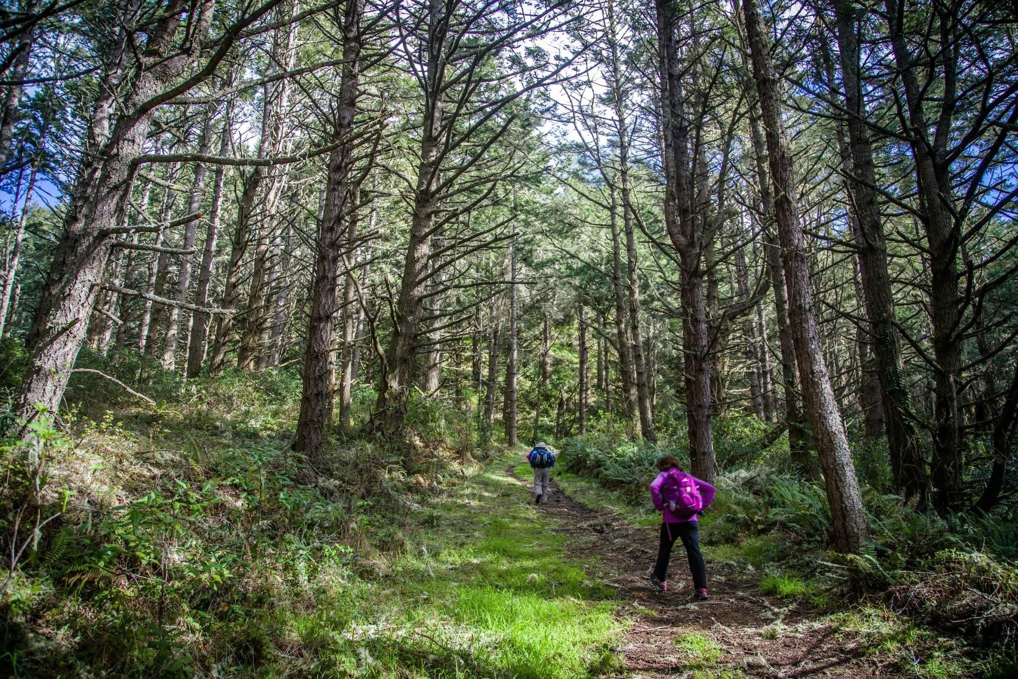
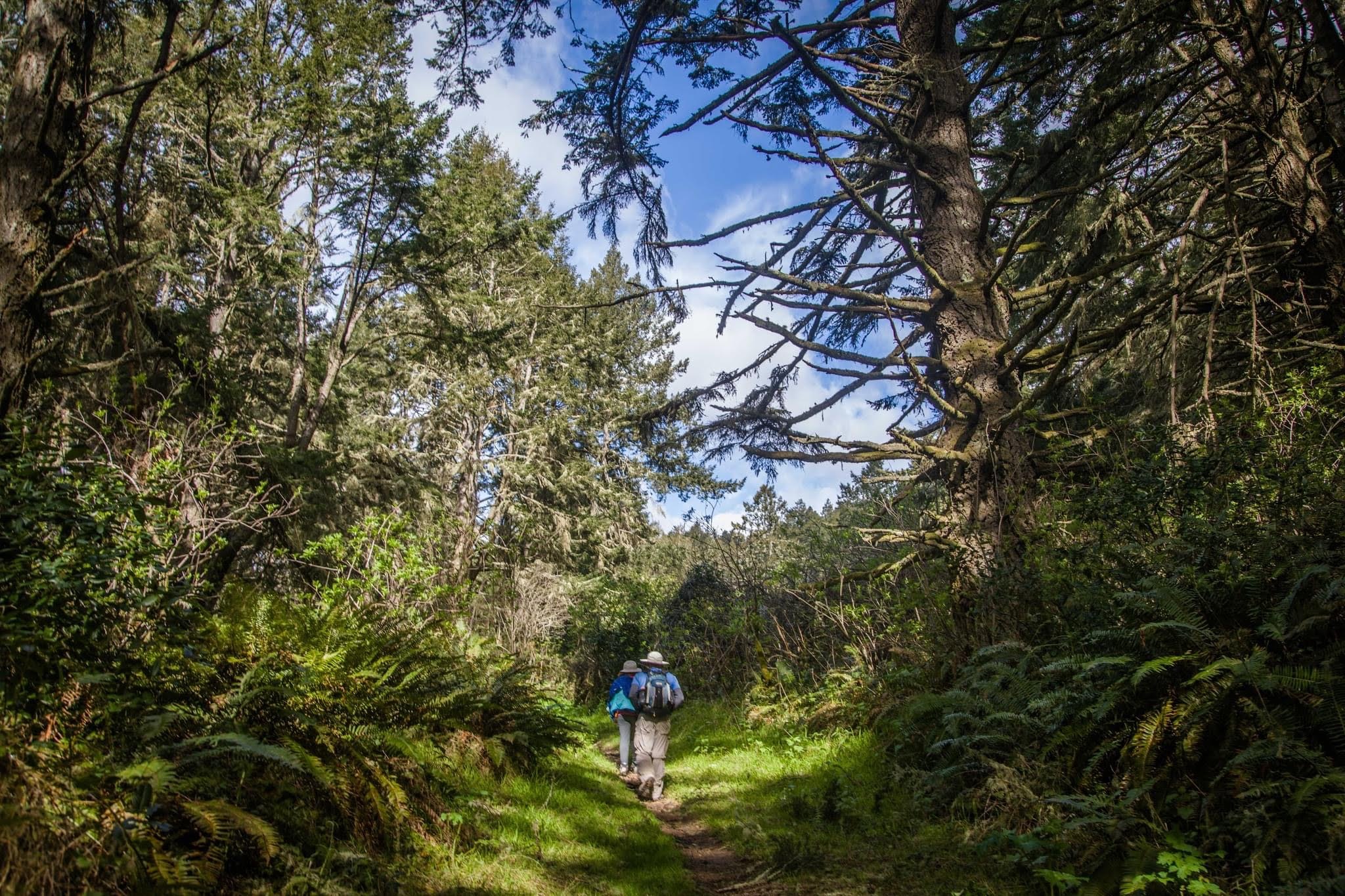
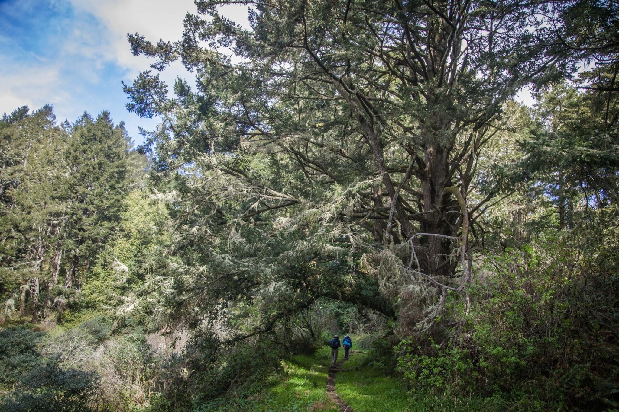
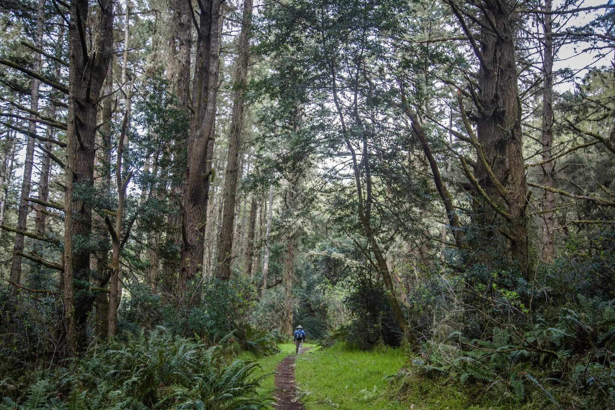
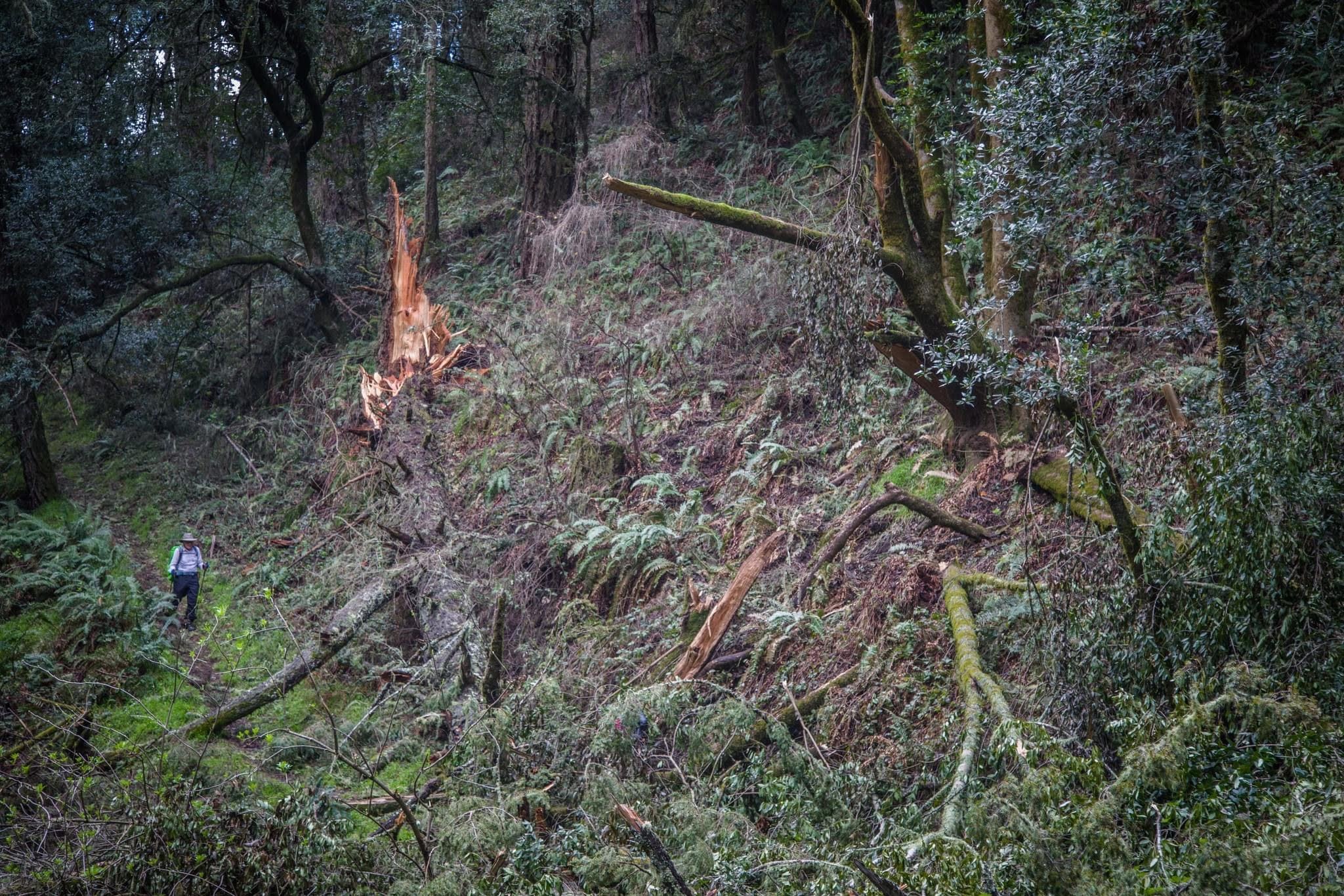
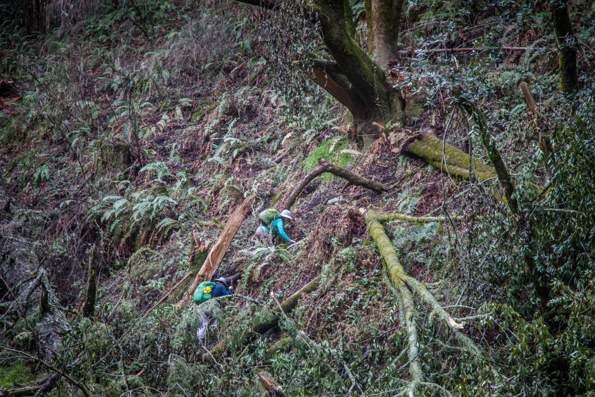
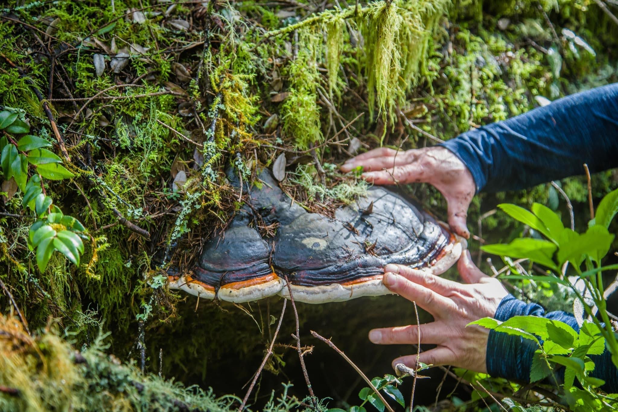
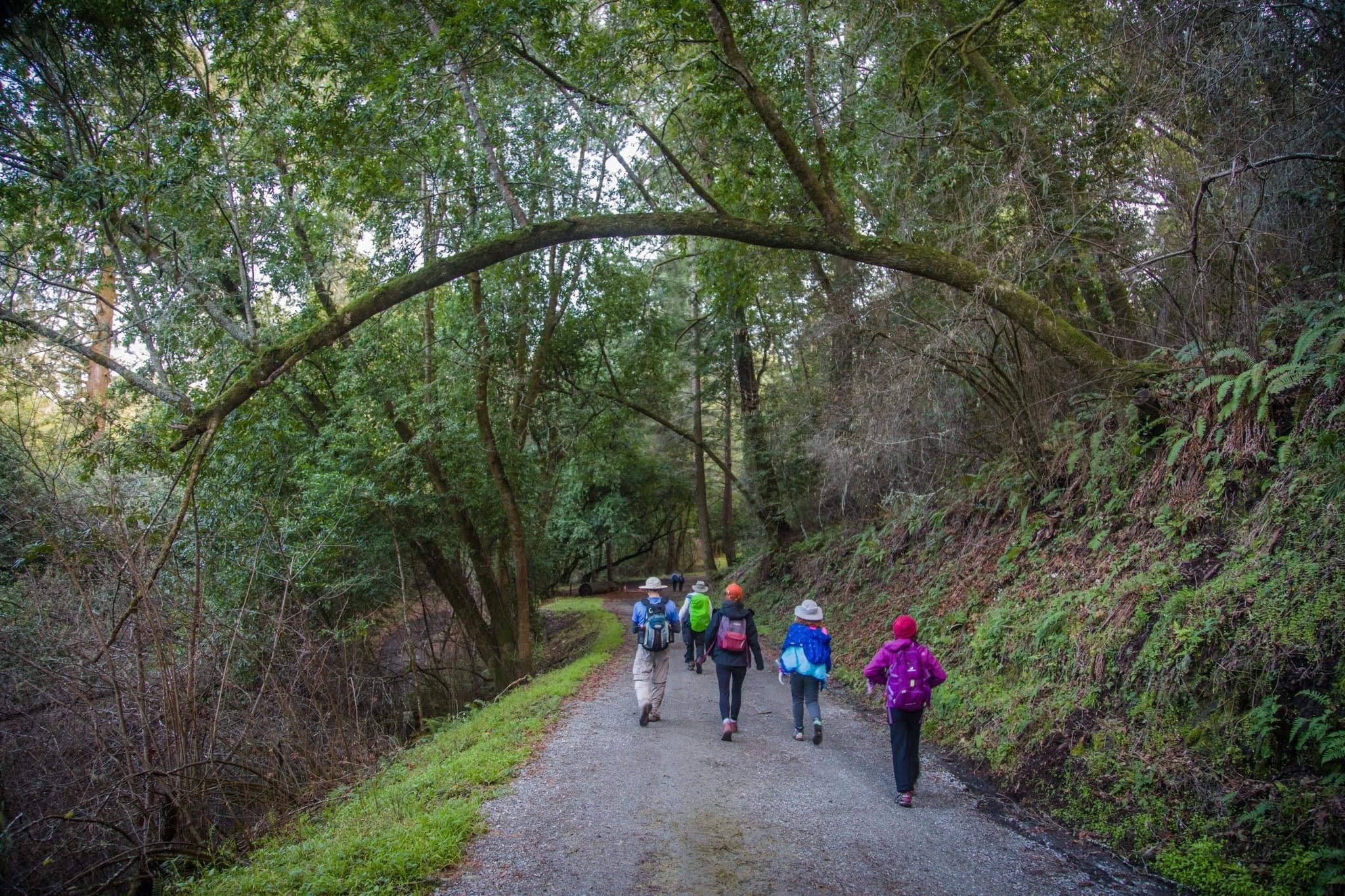
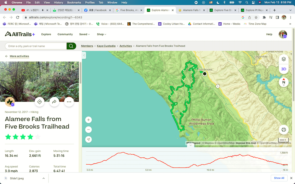
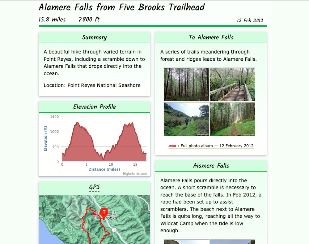
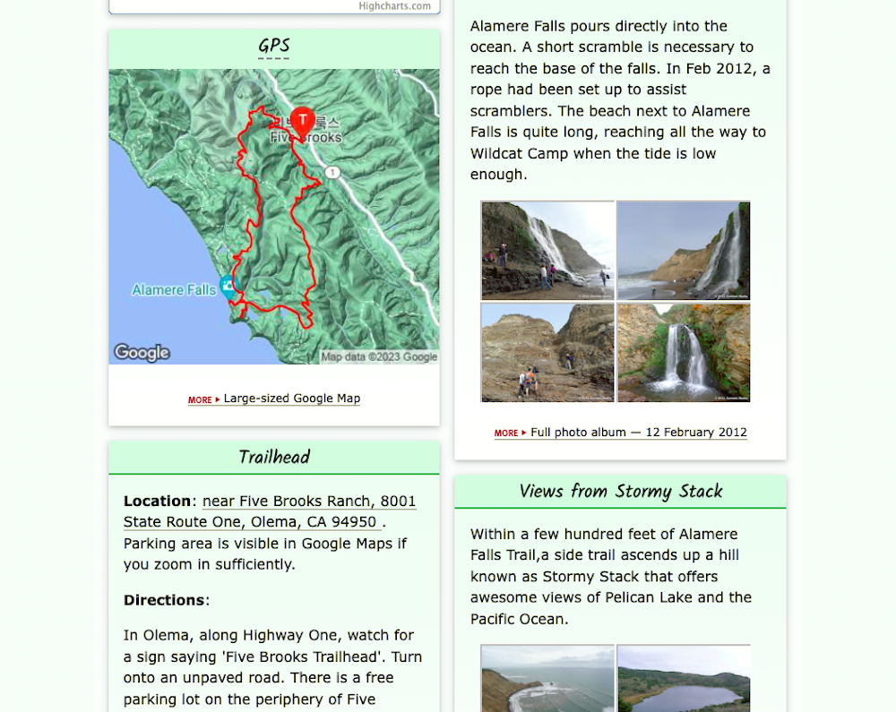
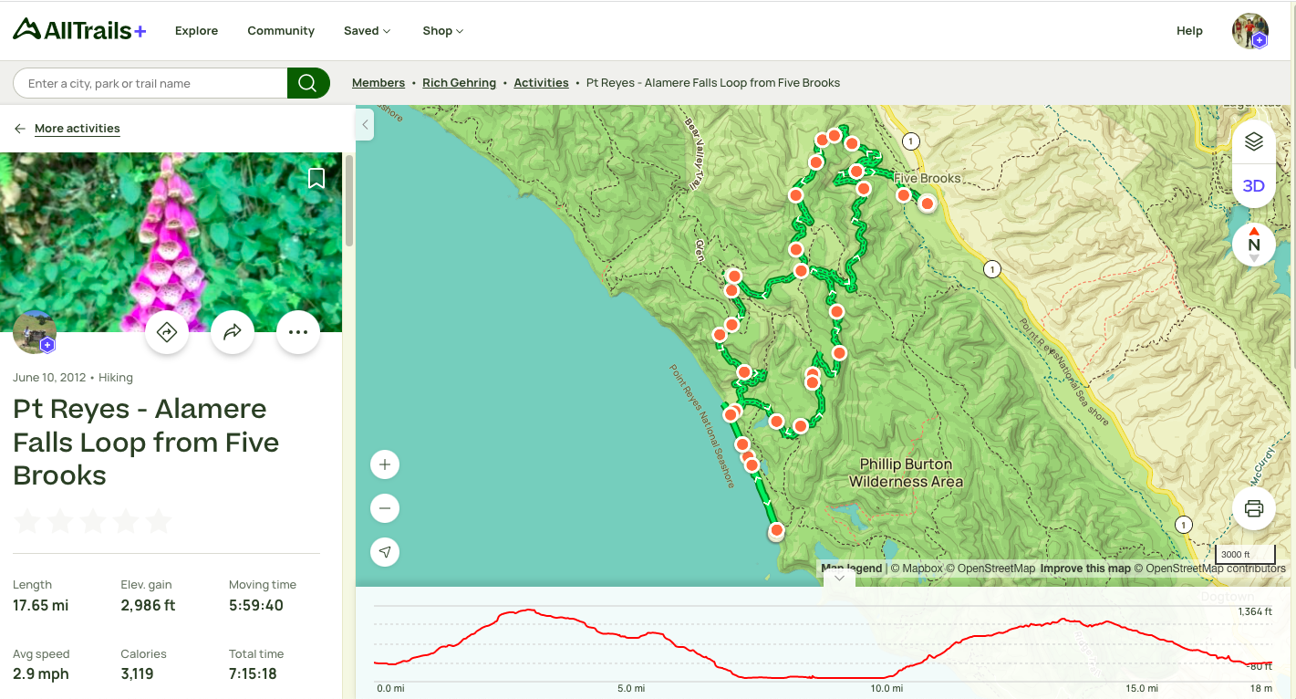
Alamere Falls from #FiveBrooksTrailhead, 16 miles, 2800 ft, A beautiful hike through varied terrain in Point Reyes, including a scramble down to Alamere Falls that drops directly into the ocean. Location: #PointReyes National Seashore. Trailhead Location: near Five Brooks Ranch, 8001 State Route One, Olema, CA 94950 . Parking area is visible in Google Maps if you zoom in sufficiently. To Alamere Falls. A series of trails meandering through forest and ridges leads to Alamere Falls. Alamere Falls. Alamere Falls pours directly into the ocean. A short scramble is necessary to reach the base of the falls. In Feb 2012, a rope had been set up to assist scramblers. The beach next to Alamere Falls is quite long, reaching all the way to Wildcat Camp when the tide is low enough.Views from Stormy Stack. Within a few hundred feet of Alamere Falls Trail,a side trail ascends up a hill known as Stormy Stack that offers awesome views of Pelican Lake and the Pacific Ocean. Directions: In Olema, along Highway One, watch for a sign saying 'Five Brooks Trailhead'. Turn onto an unpaved road. There is a free parking lot on the periphery of Five Brooks Ranch. To Five Brooks Trailhead. A series of trails through forest takes you to the trailhead.
.
+++


반응형