반응형
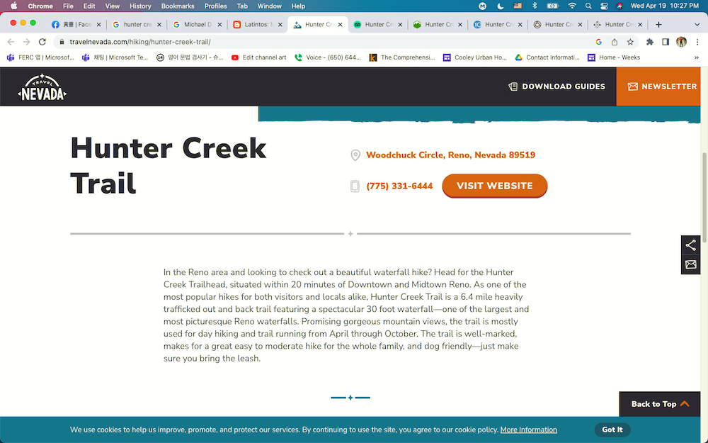
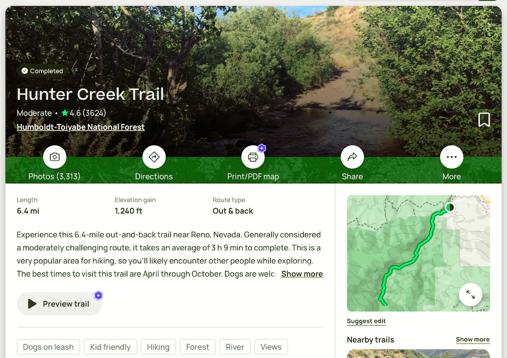
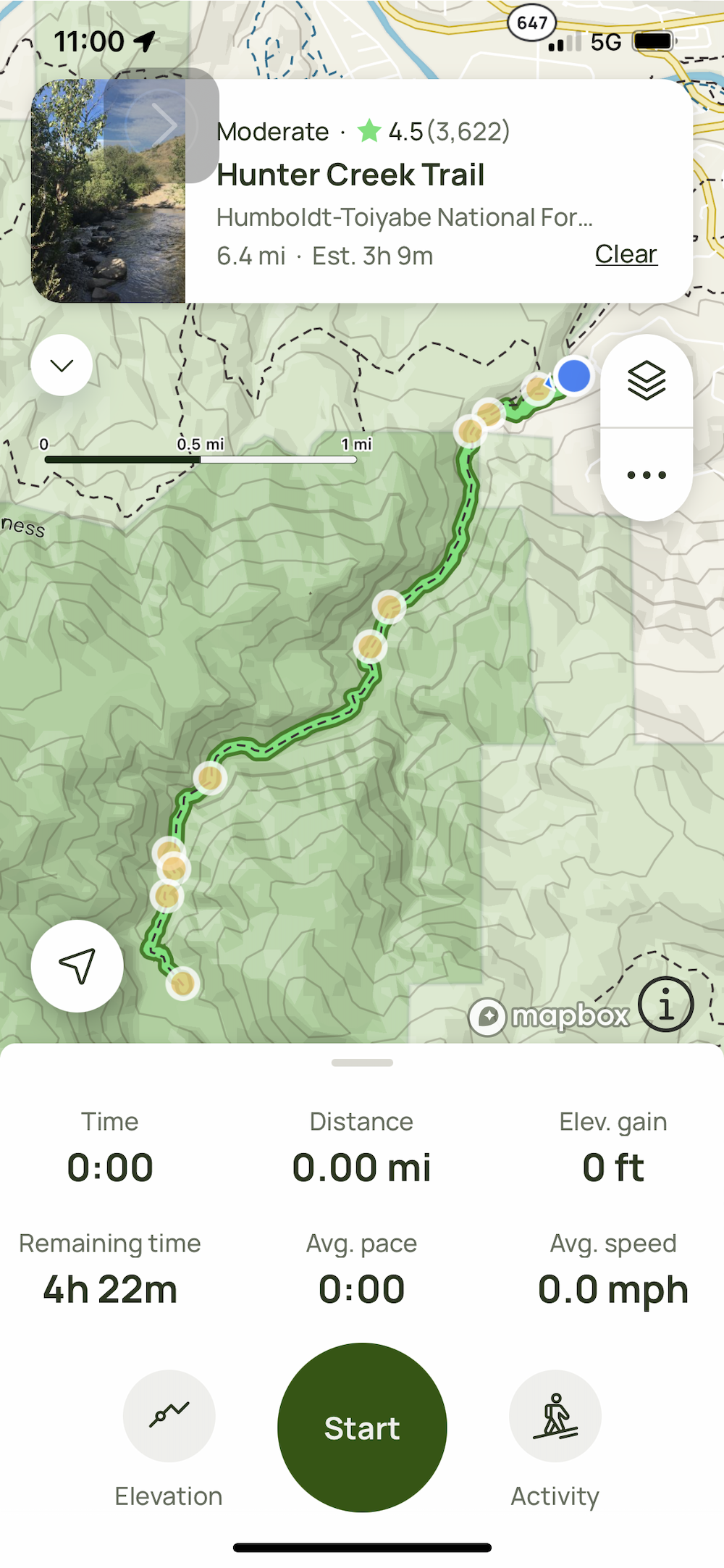
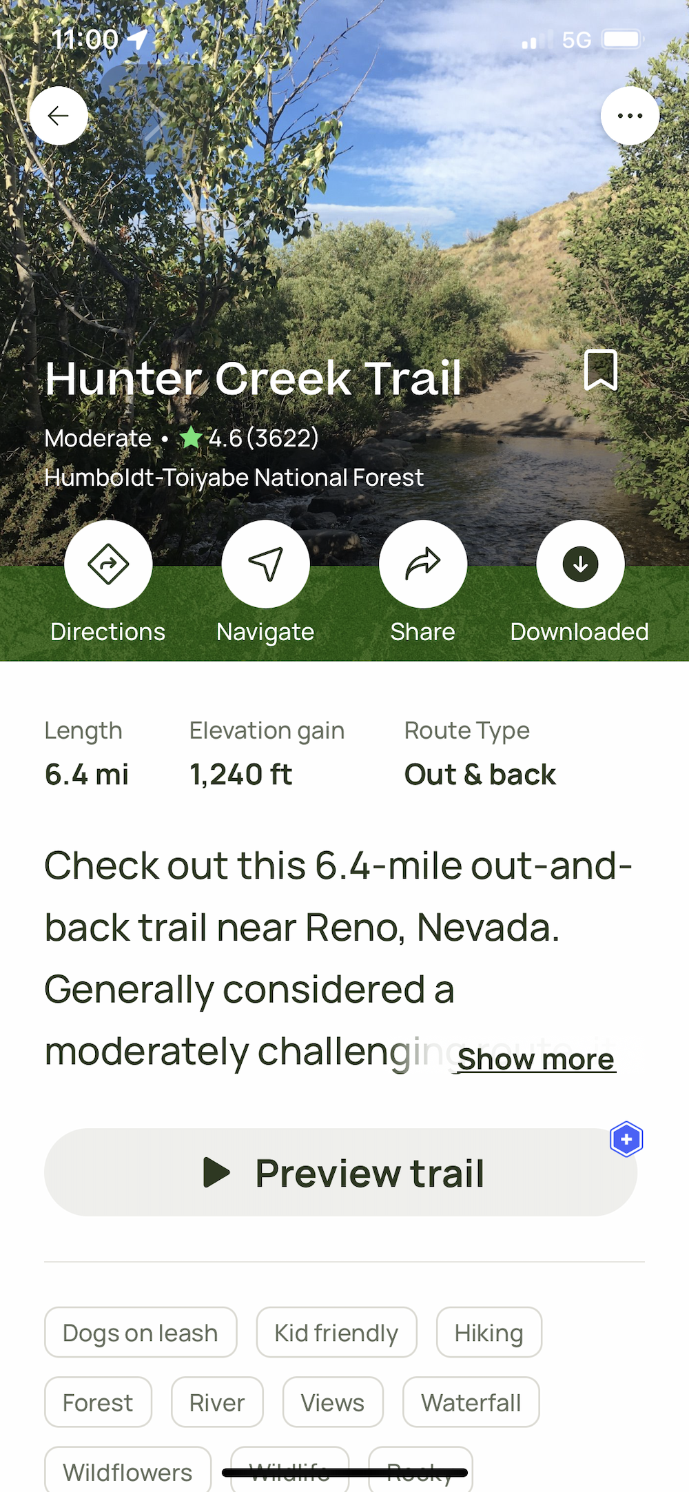
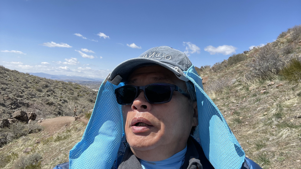
Hunter Creek Trail, Reno, Nevada
.
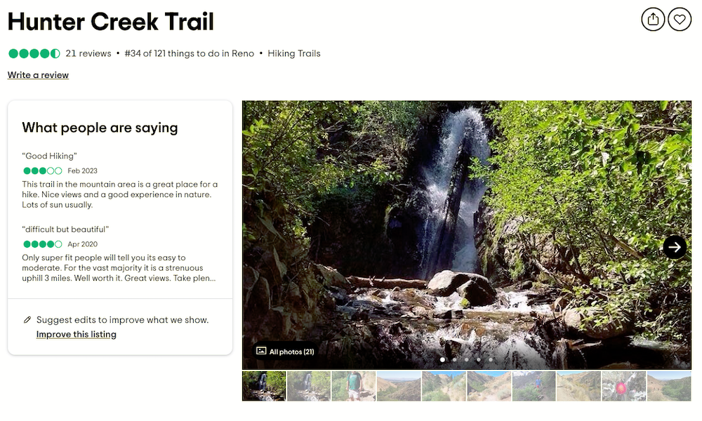
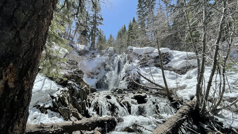
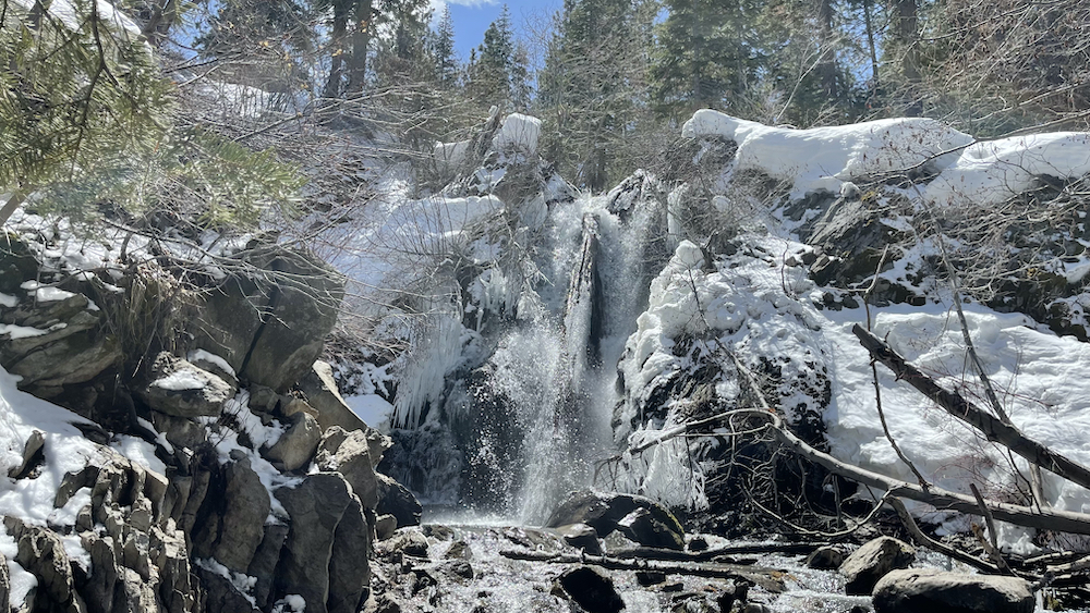
Just a short drive from Reno, Hunter Creek Trail features rolling hills with a beautiful waterfall at the end.
.
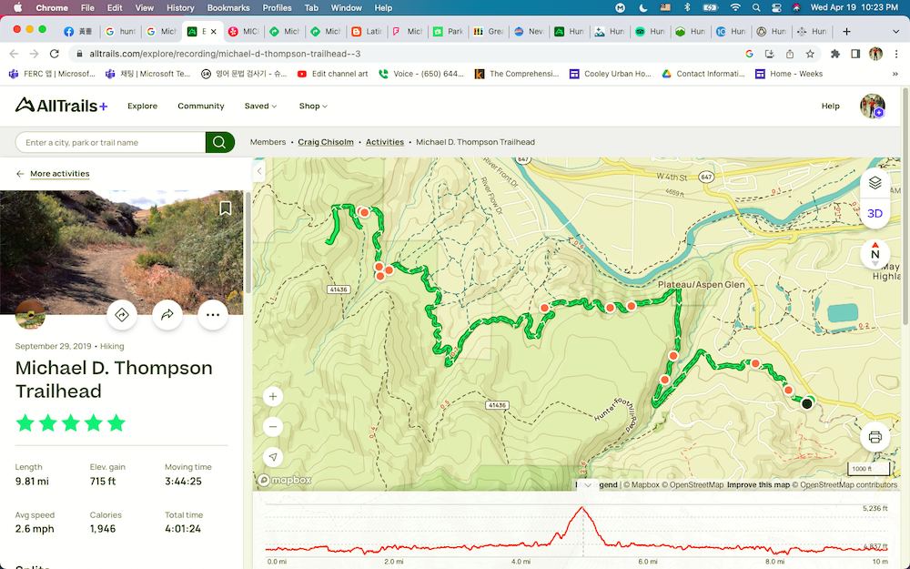
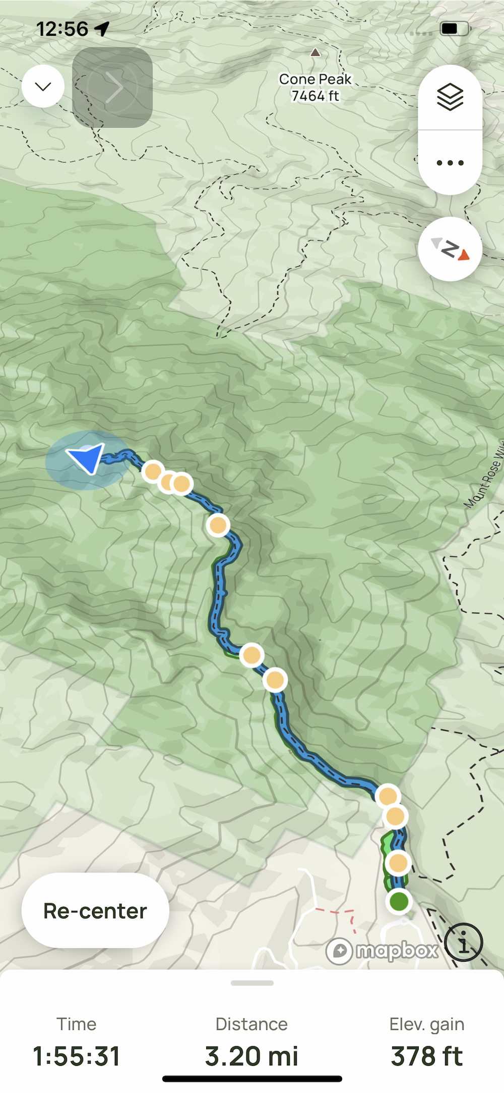
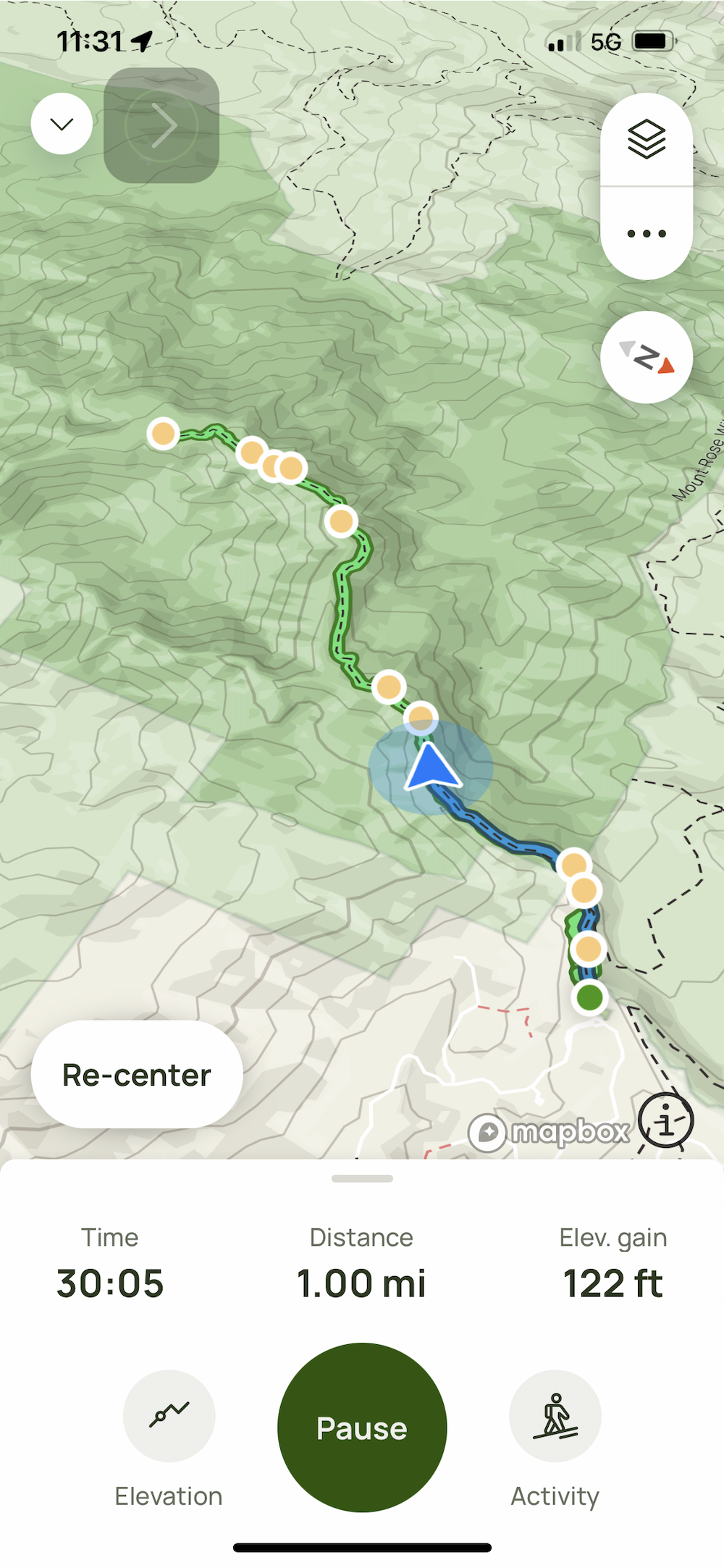
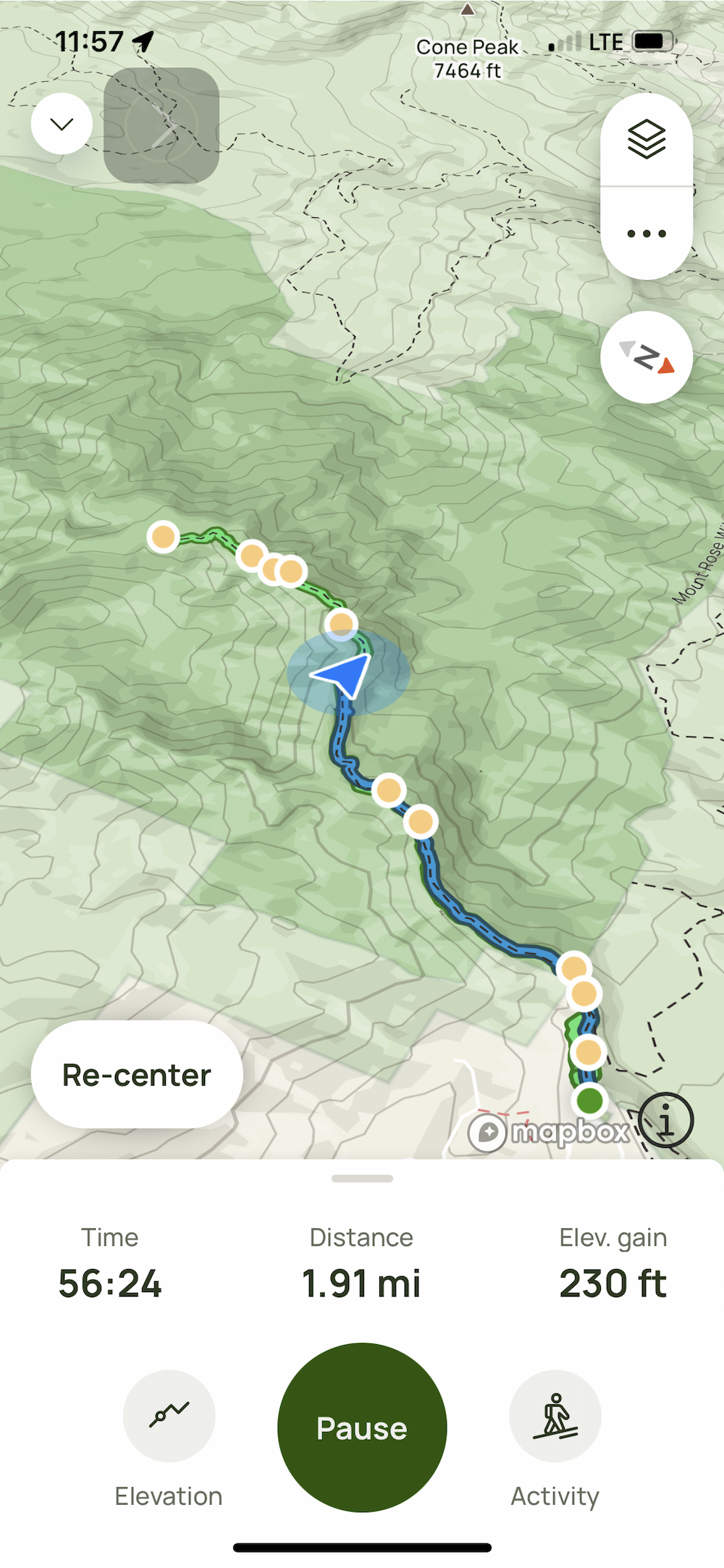
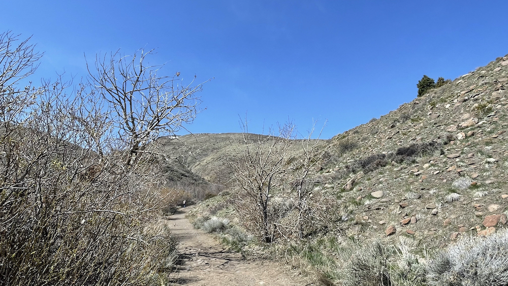
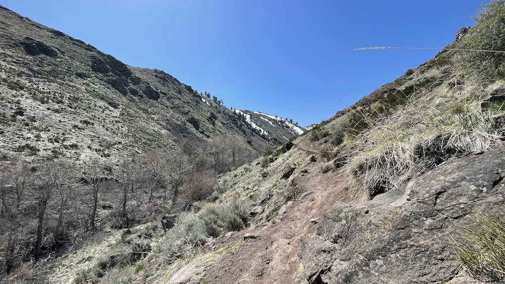
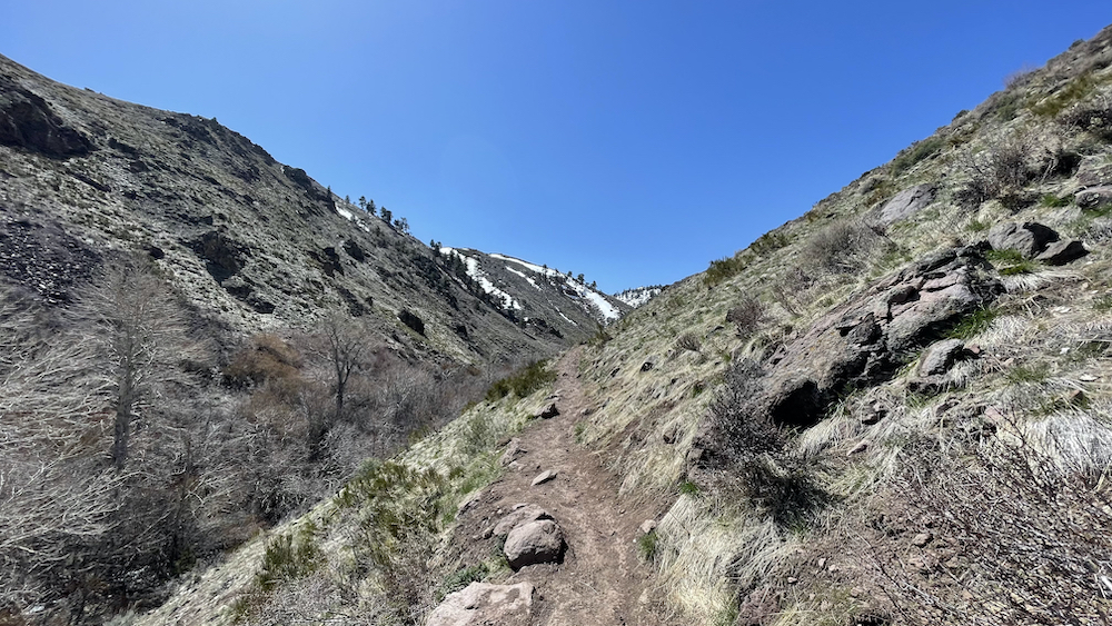
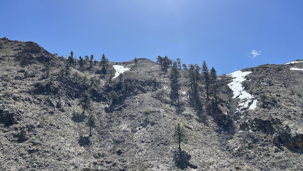
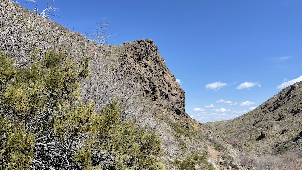
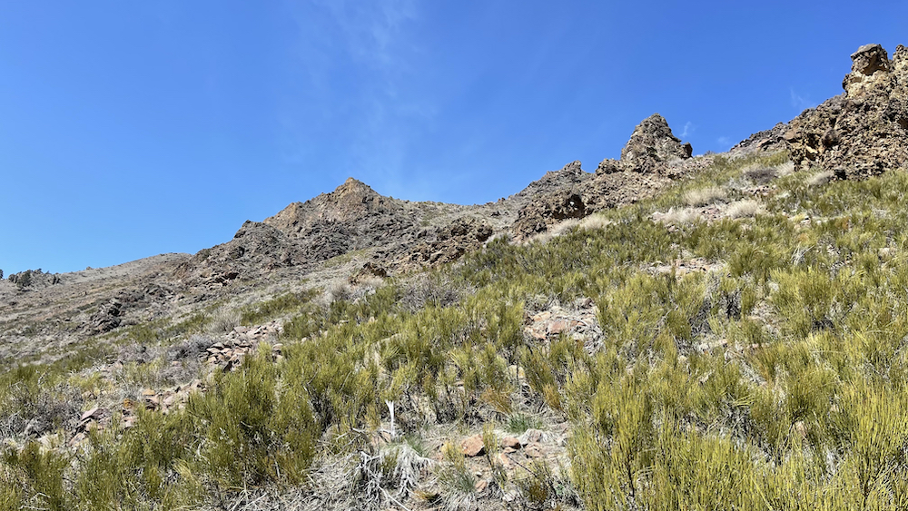
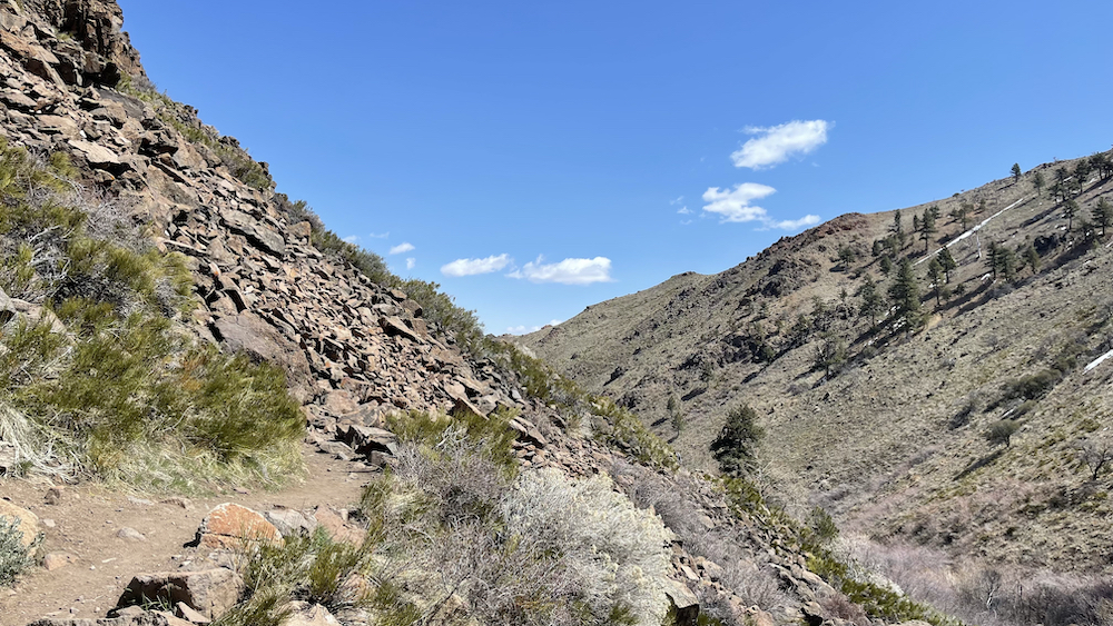
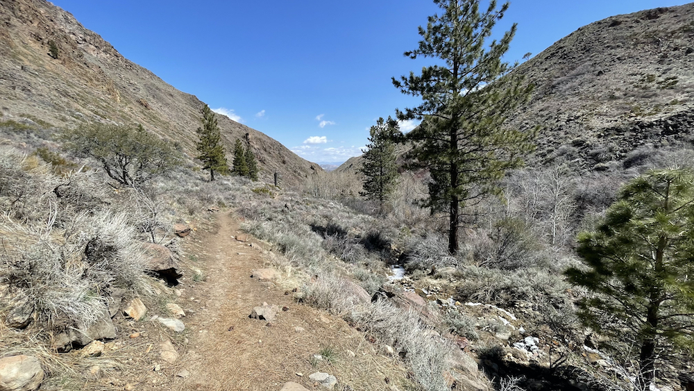
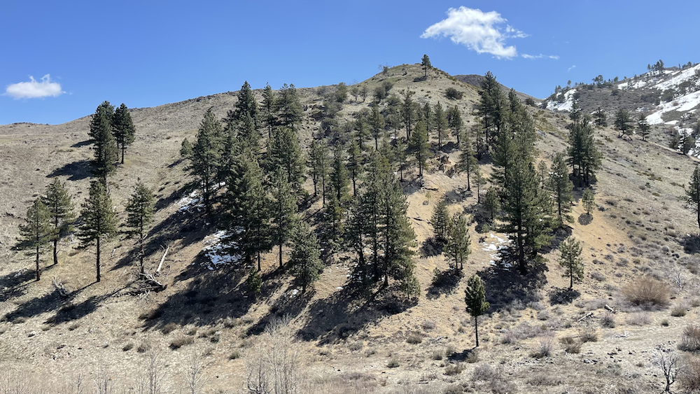
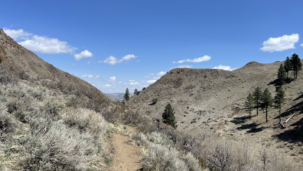
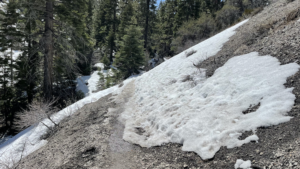
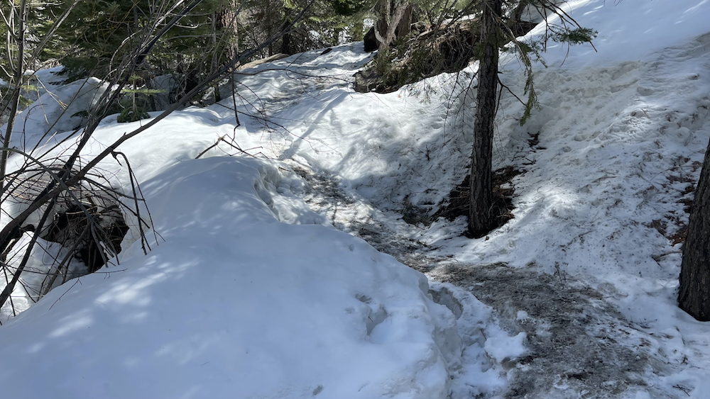
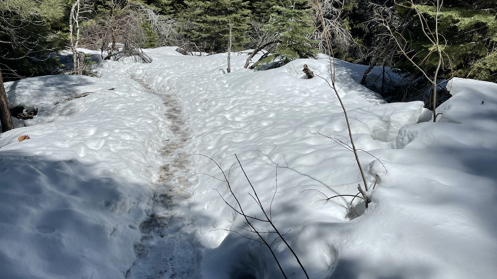
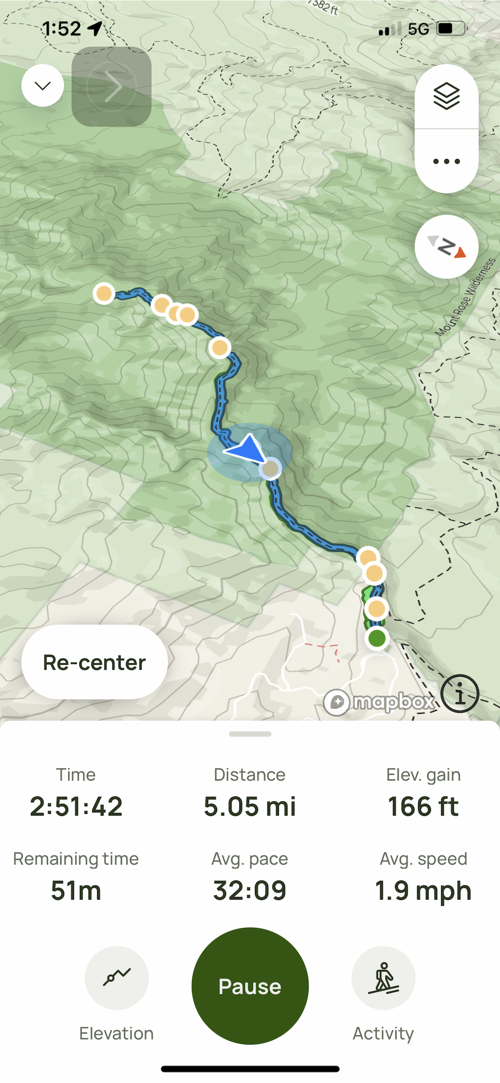
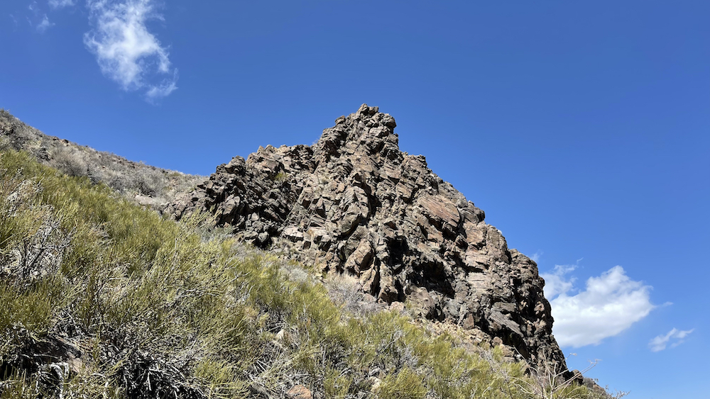
Just outside of Reno find a fun little hike through the hills along a creek, ending at a beautiful waterfall. The trail is heavily trafficked and easy to follow with two creek crossings. It is mostly a moderate but steady climb on the way out, with just a few steep spots.
.
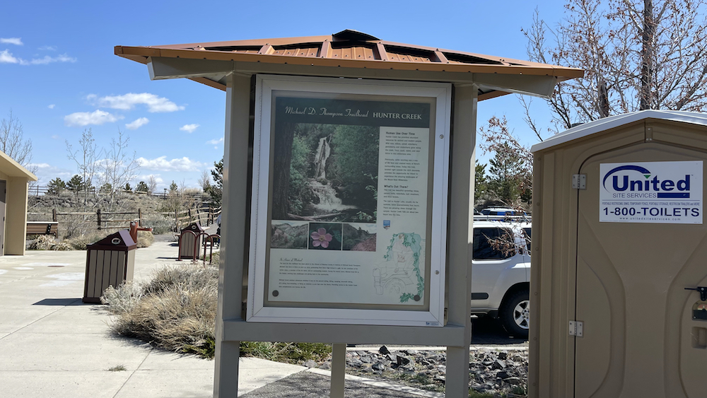
The parking lot has about 15 spots, and probably fills up fast on a weekend. This winter Thursday morning it was about half full. There is a water fountain for humans and K9s (off in the winter) and a restroom (also closed for winter, but there was a porta-potty).
.
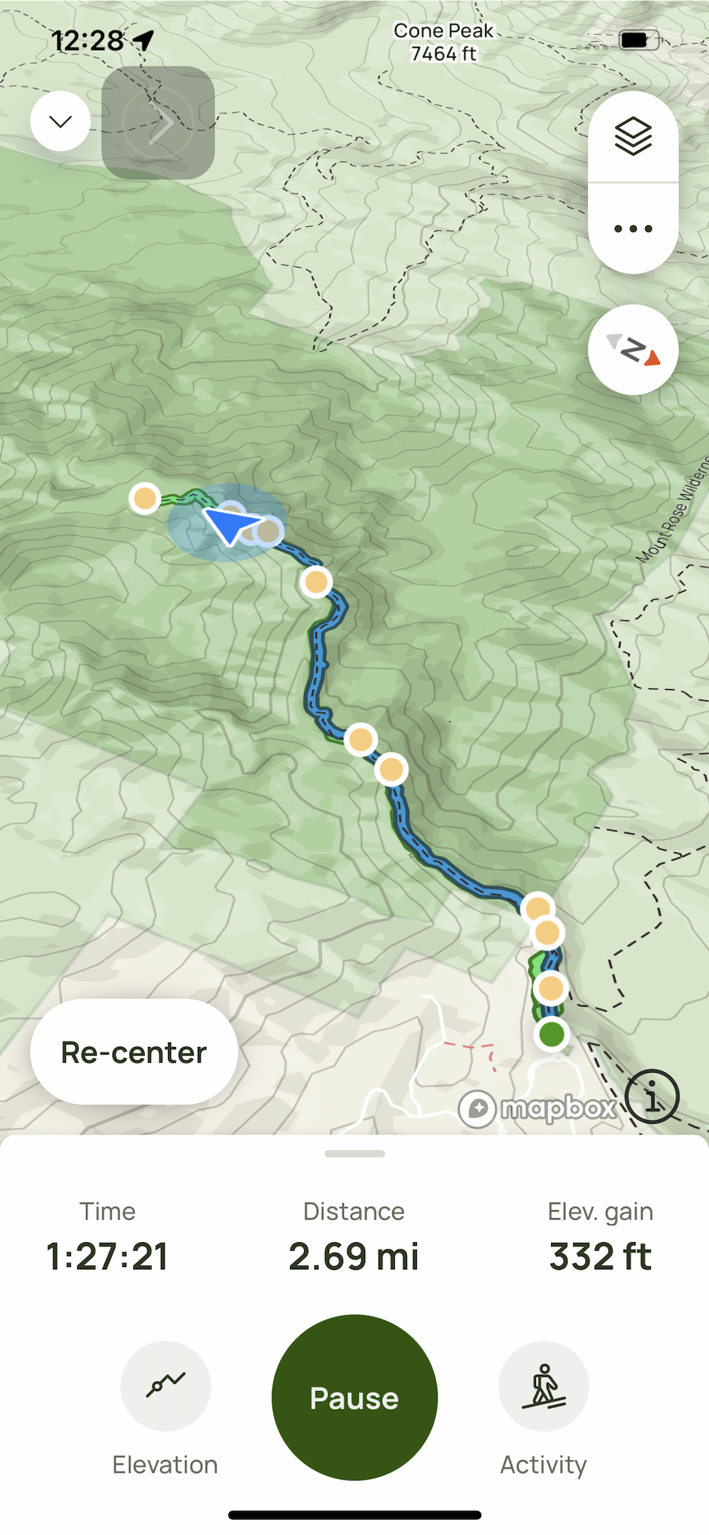
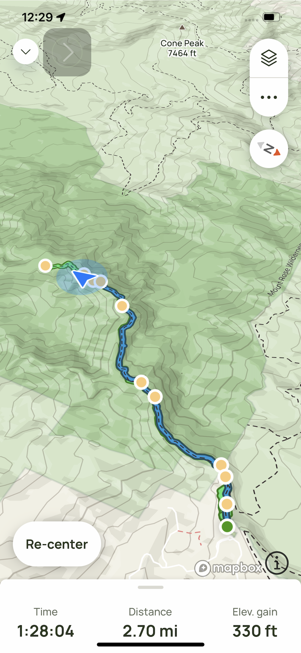
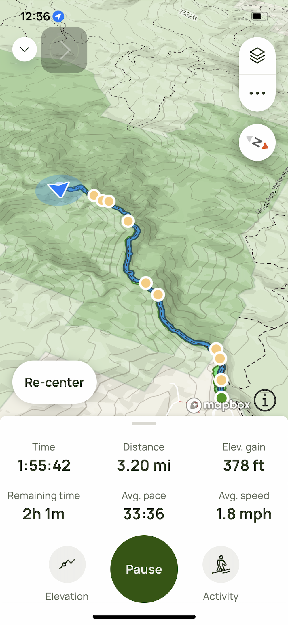
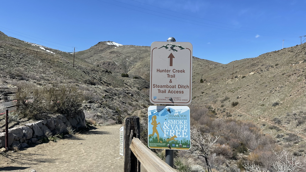
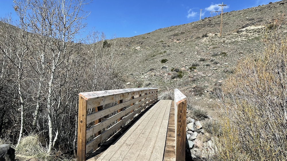
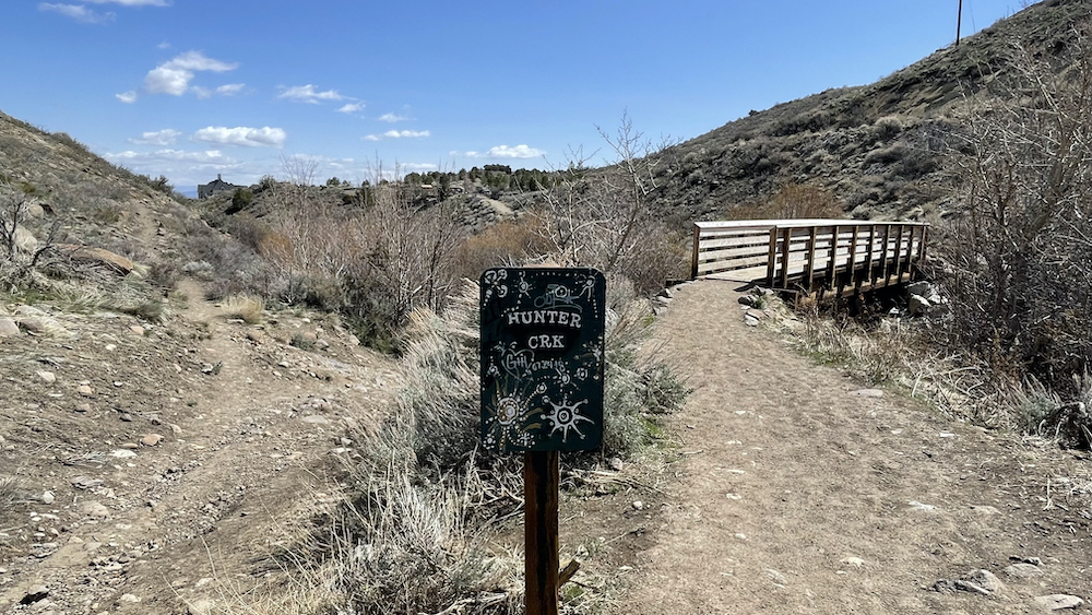
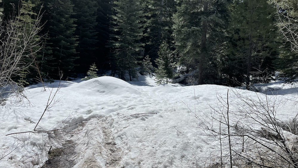
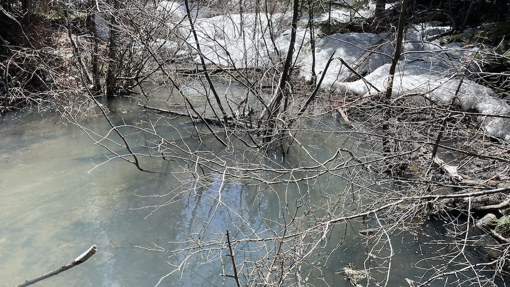
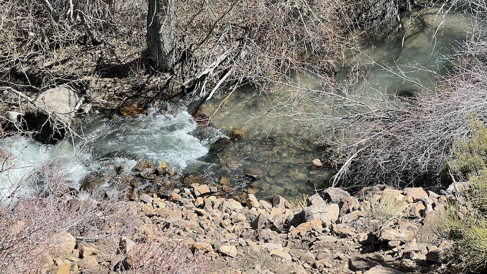
The trailhead is pretty obvious, and leads right to a creek crossing. There are a lot of ways to get across the creek on rocks or getting your feet a little wet, but if you follow the little spur trails along for a half a mile or so you will spot a little metal bridge (see pics). Look for the 10' tall white water tower at the creekside to find the bridge.
.
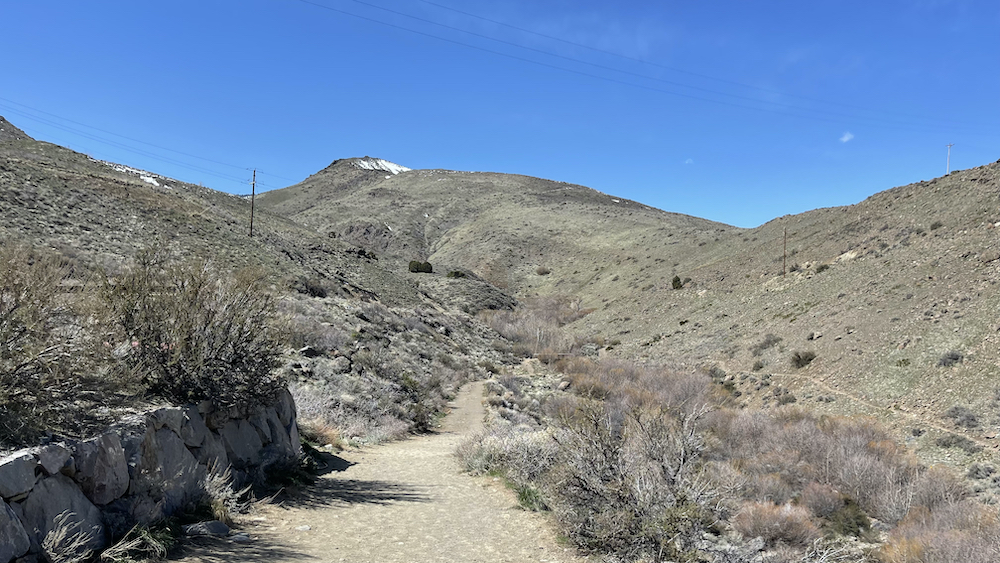
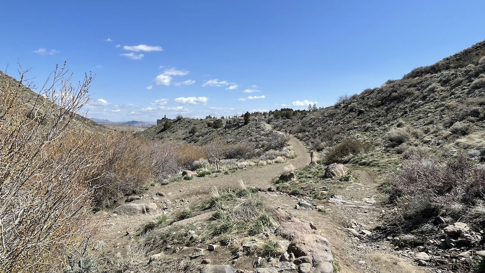
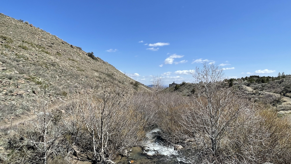
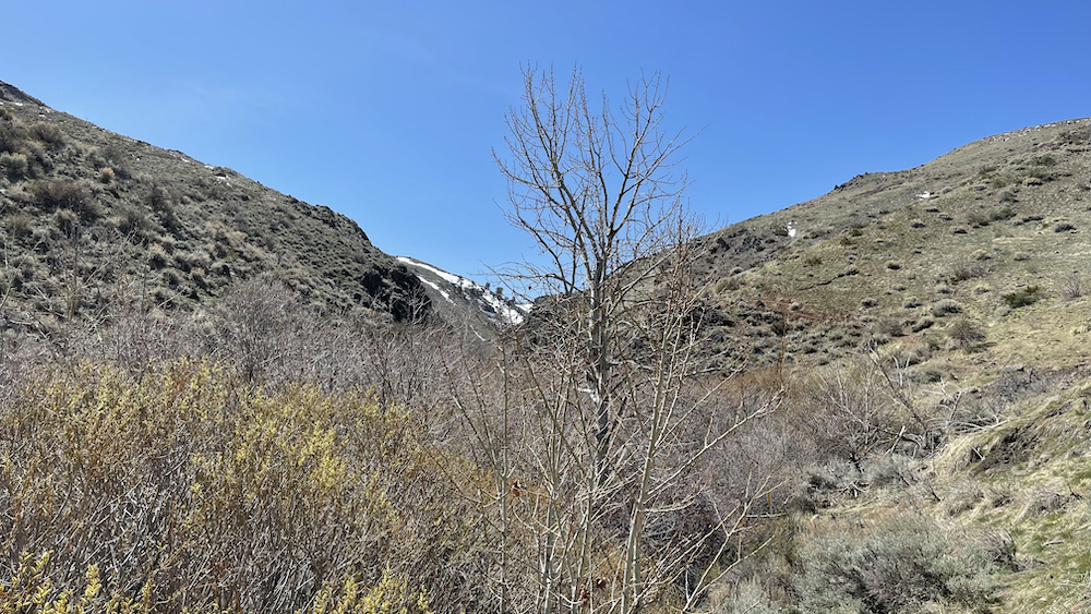
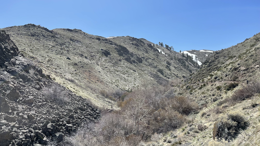
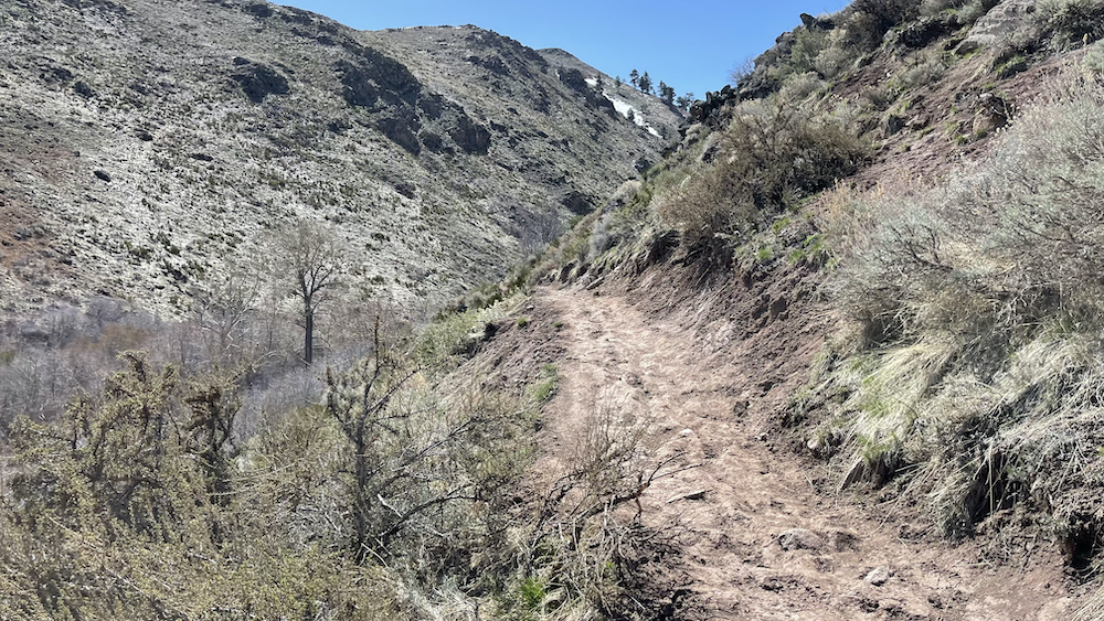
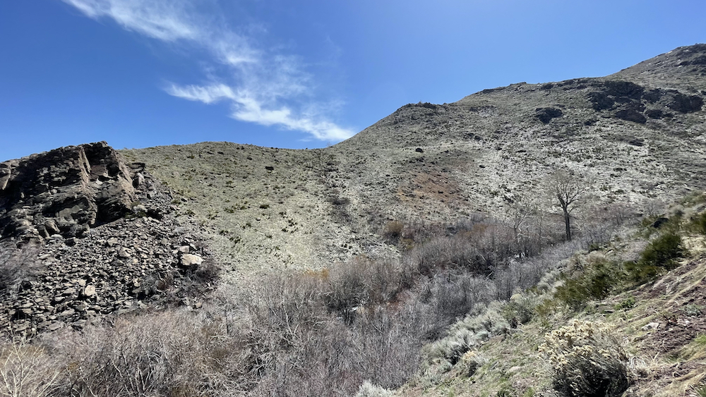
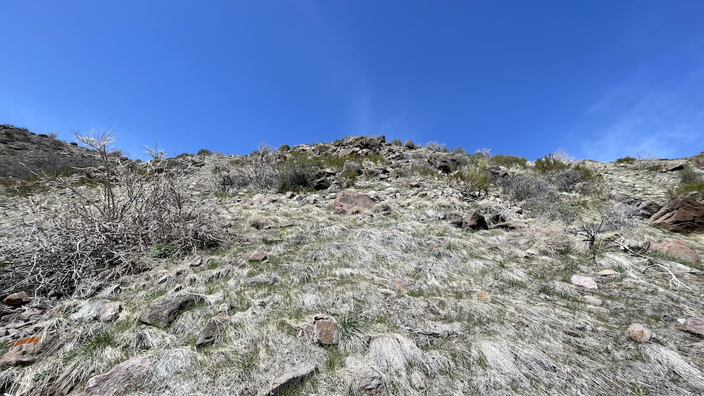
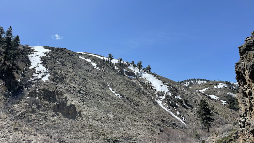
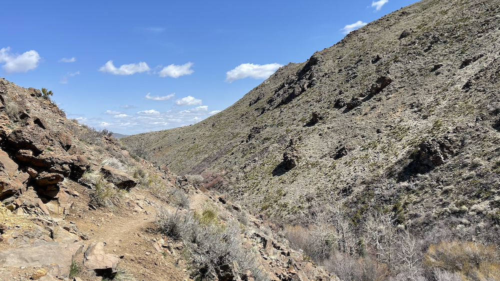
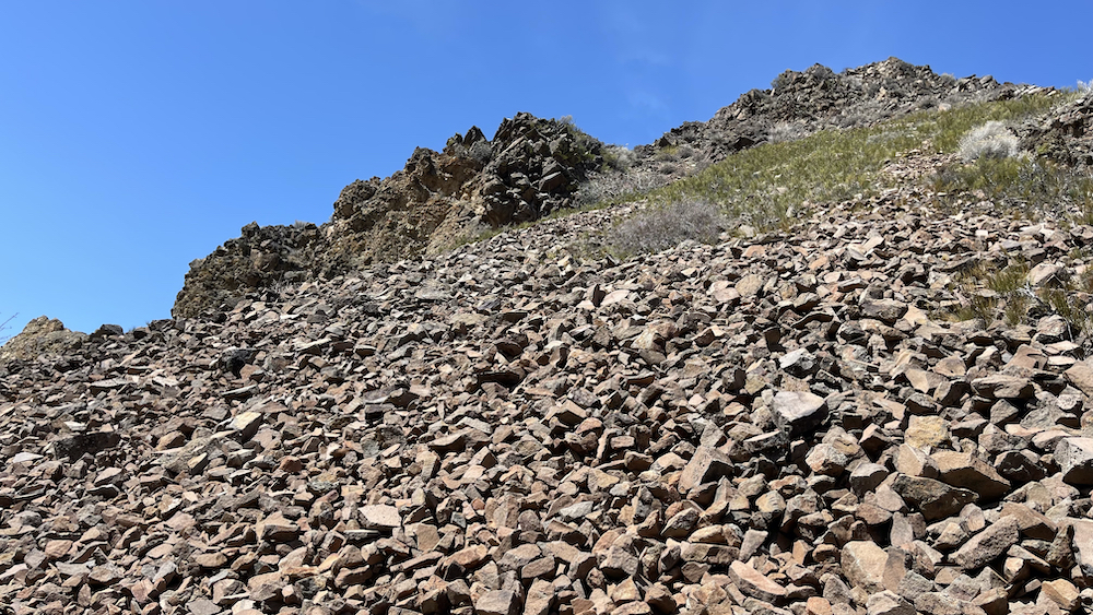
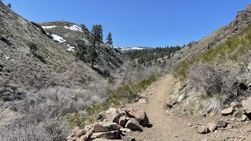
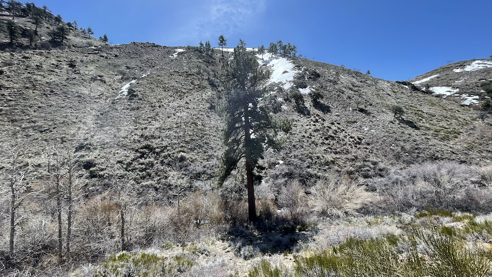
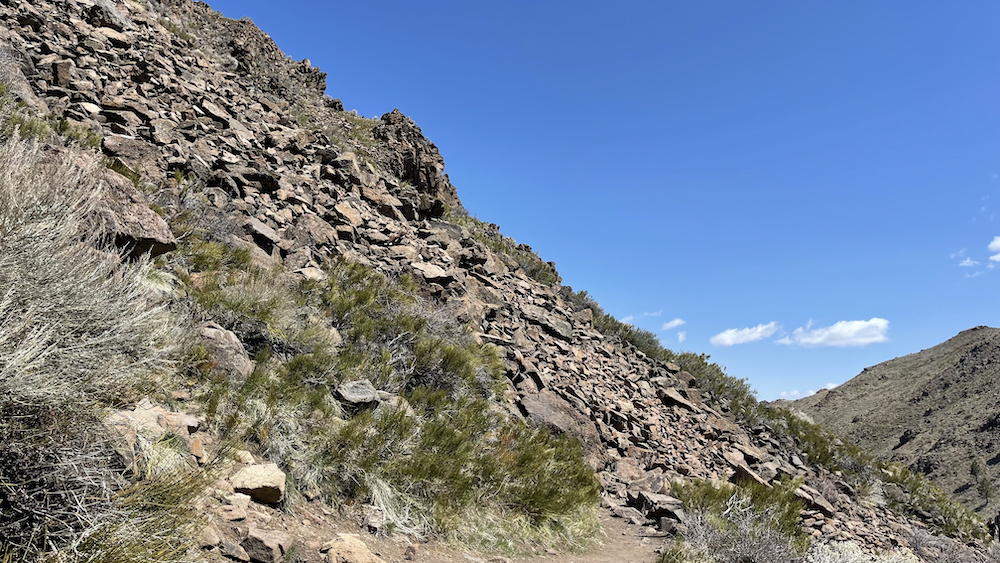
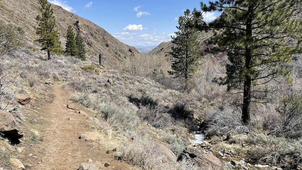
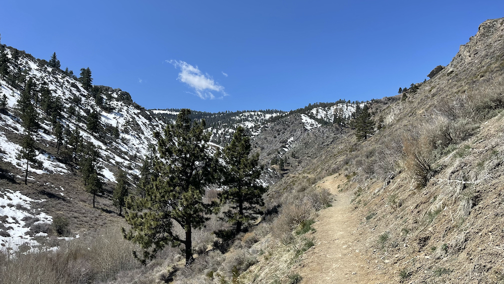
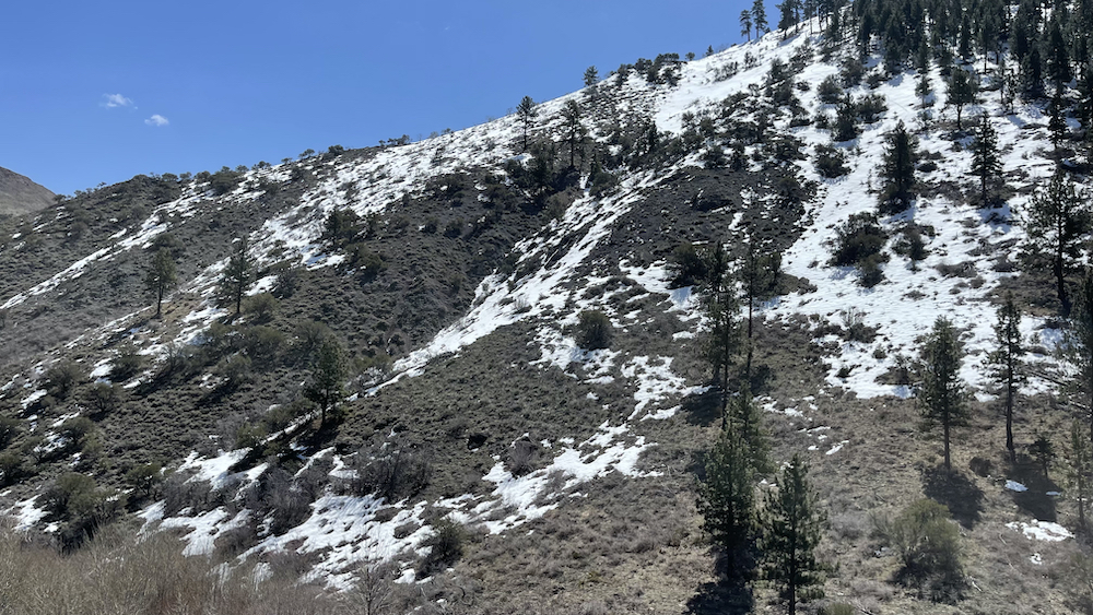
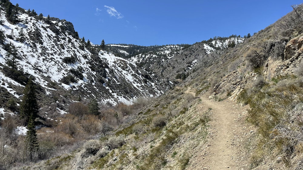
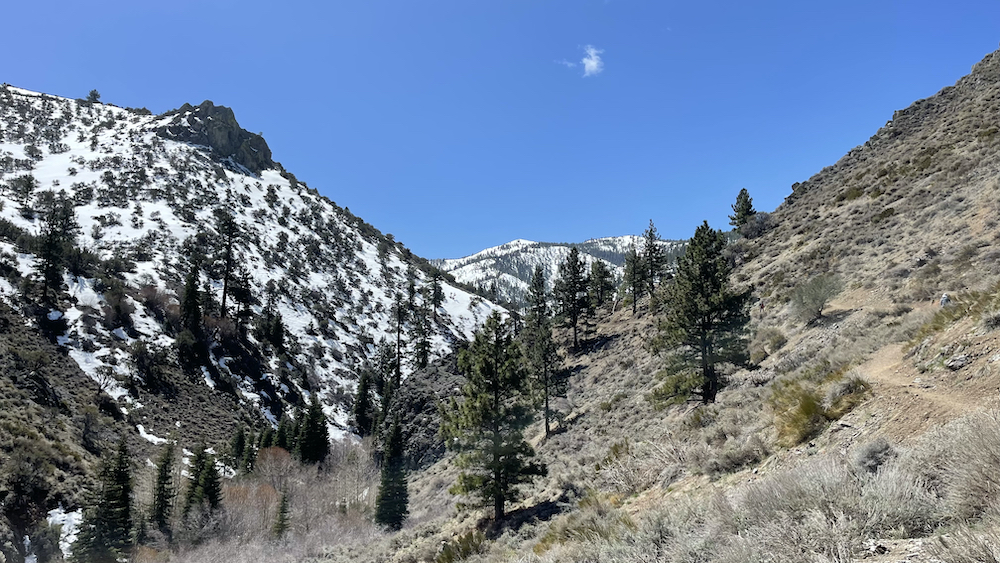
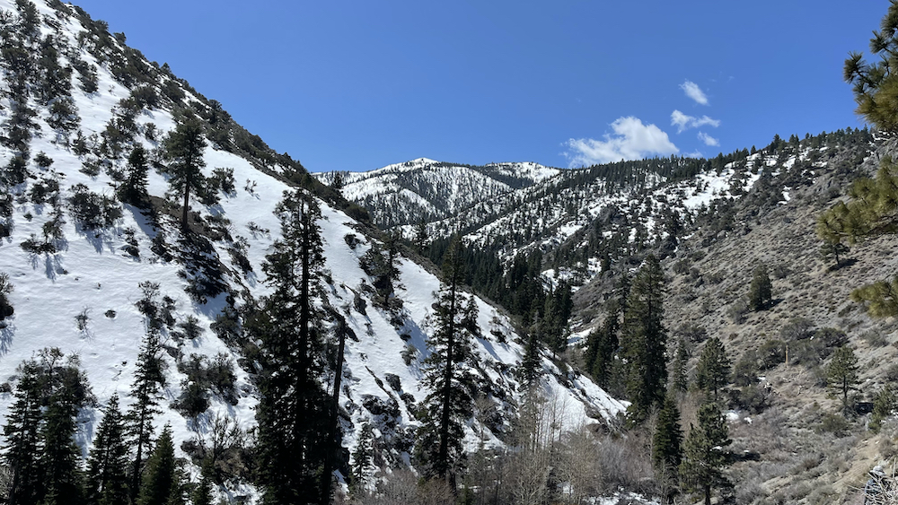
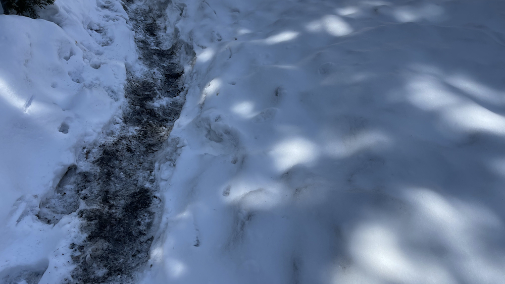
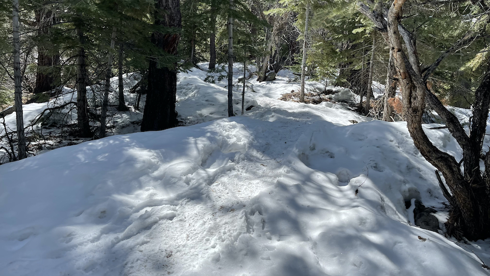
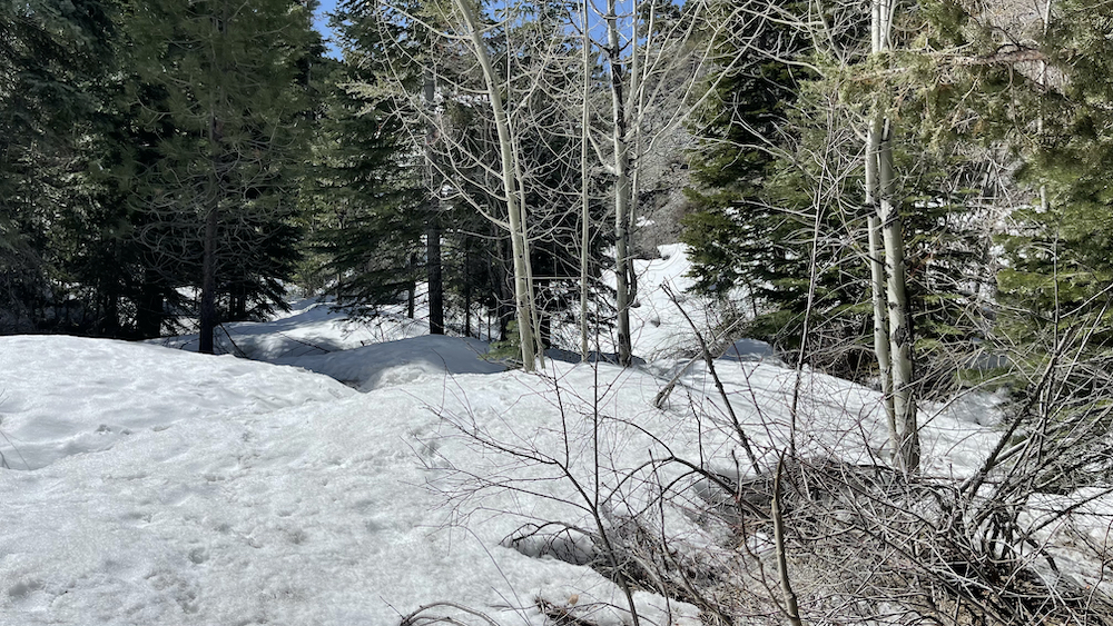
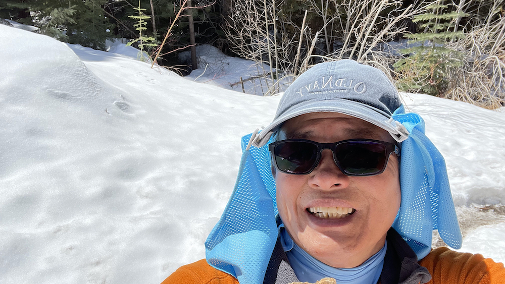
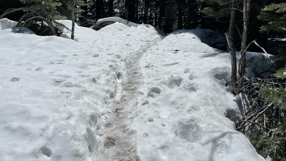
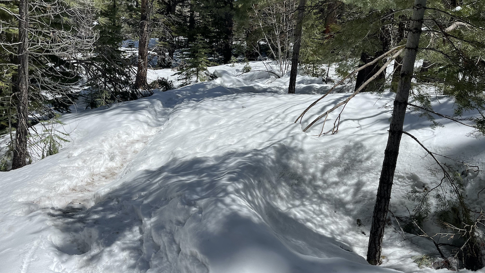
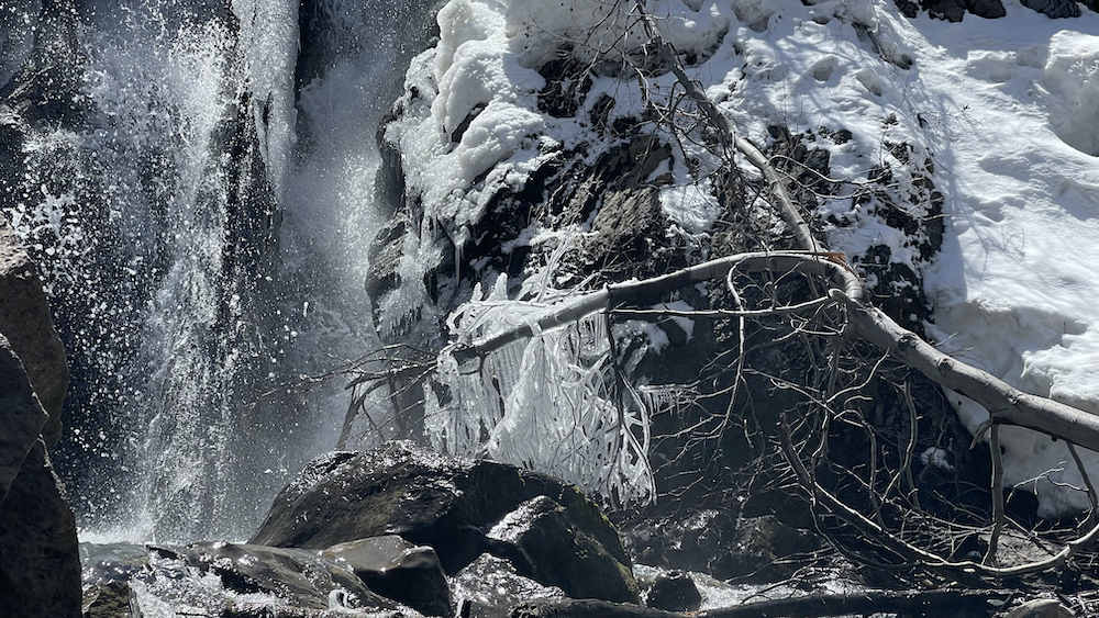
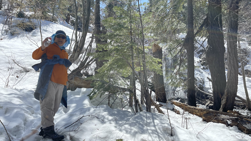
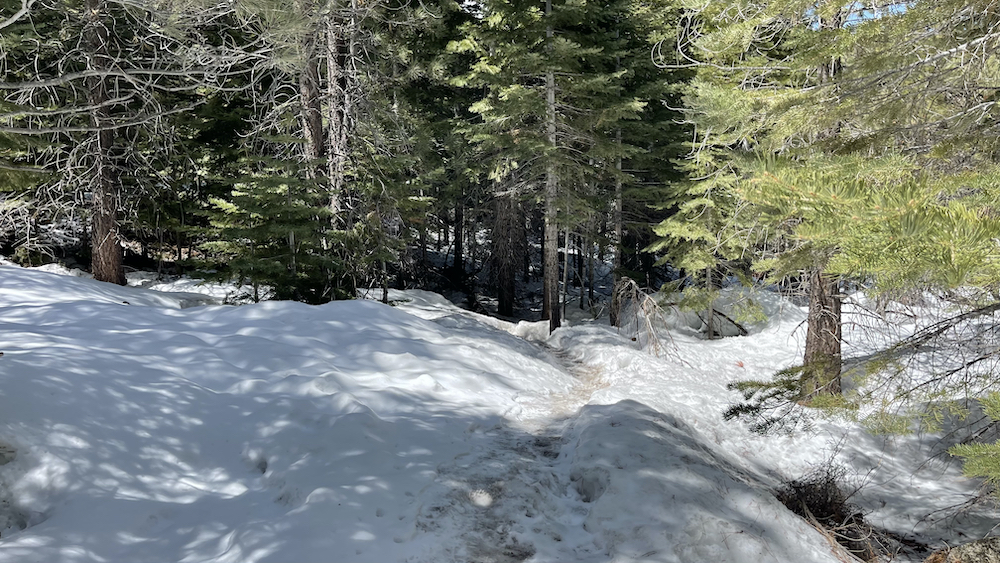
Once you get across, the trail is obvious and footing is good. It parallels the creek, across a few talus fields, and into a wooded area. The trail is a little frozen in the woods in winter, probably muddy in shoulder seasons. We brought micro-spikes to put on our boots and certainly appreciated them.
.
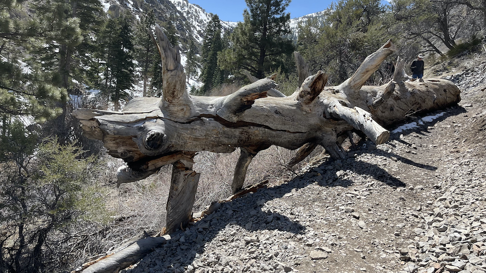
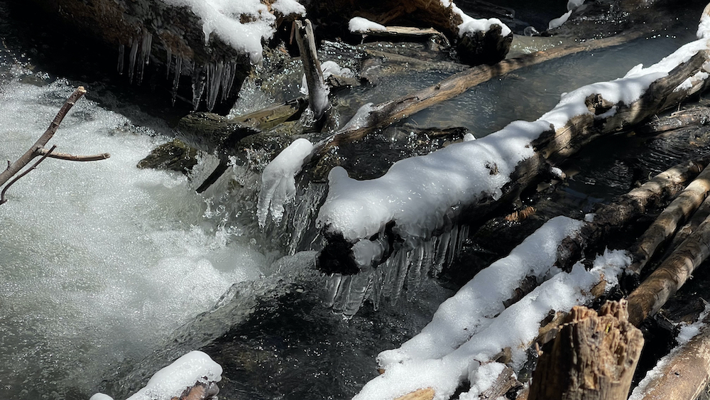
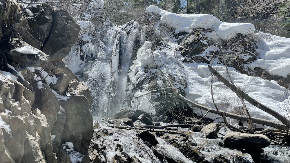
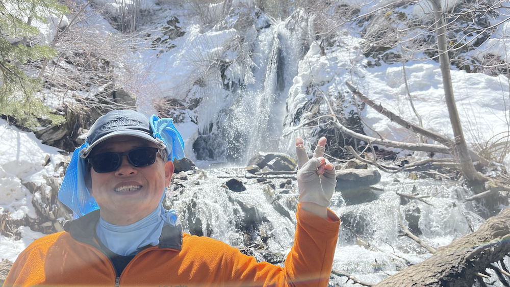
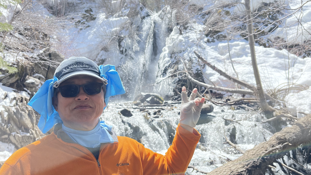
Just before the waterfall there is a broad tree felled across the creek for crossing. Careful about this in the winter, its frozen and slippery. Once across, there are a bunch of logs and nice areas to relax and enjoy the waterfall before you turn back. The return trip is almost all gradual down hill, and you can locate the metal bridge by the split in the trail in sight of the parking lot.
.
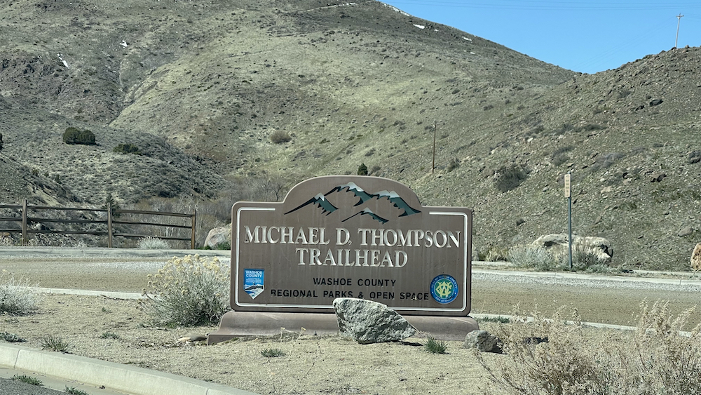
Michael D. Thompson Trailhead named after Reno High School graduate and outdoor enthusiast
.
The Michael D. Thompson Trailhead west of Reno in northern Nevada is a gateway to the scenic landscapes of the Truckee River Valley and the Mount Rose Wilderness. This trailhead is a popular meeting place and starting point for short, medium and long hikes to destinations such as the Steamboat Trail Arrow, the two Holes in the Wall and via the Hunter Creek Trail to Hunter Creek Falls and beyond.
.
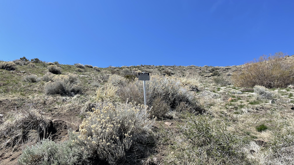
The trailhead is named in honor of Reno-born Michael David Thompson, who died young and is still remembered by some locals. The trailhead kiosk provides a brief biography:
The land for this trailhead has been given to the citizens of Washoe County in memory of Michael David Thompson. Michael was born in Reno on June 10, 1970, graduating from Reno High School in 1988. He was president of his senior class, a member of the ski team, and an outstanding student. During his twenty years, Michael lived life to the fullest, seeking new challenges and giving back to the community.
.
Michael loved to do what many Reno residents love to do when outdoors:
Michael loved outdoor adventure whether it was on the ground skiing, hiking, camping, mountain biking, ATV riding, four-wheeling, or flying an airplane 12,000 feet over the Sierra.
.
The popularity of the Thompson Trailhead is still growing. Now, it indeed is “a busy place with hikers and bikers ready for the wilderness,” as forecasted in my Hunter Creek Trailhead under construction post in 2009.
.
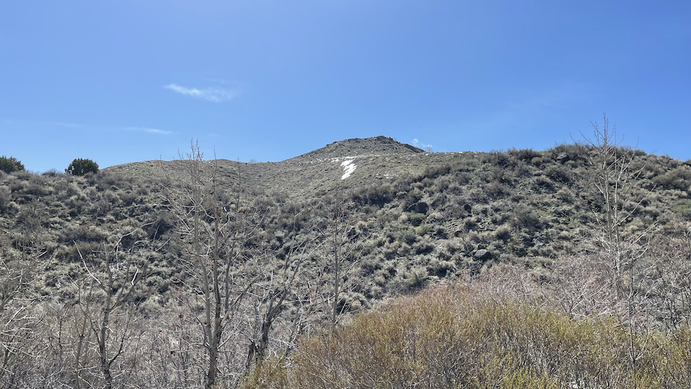
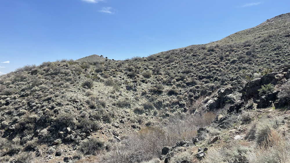
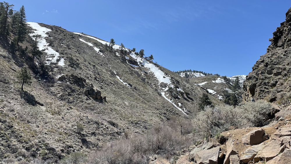
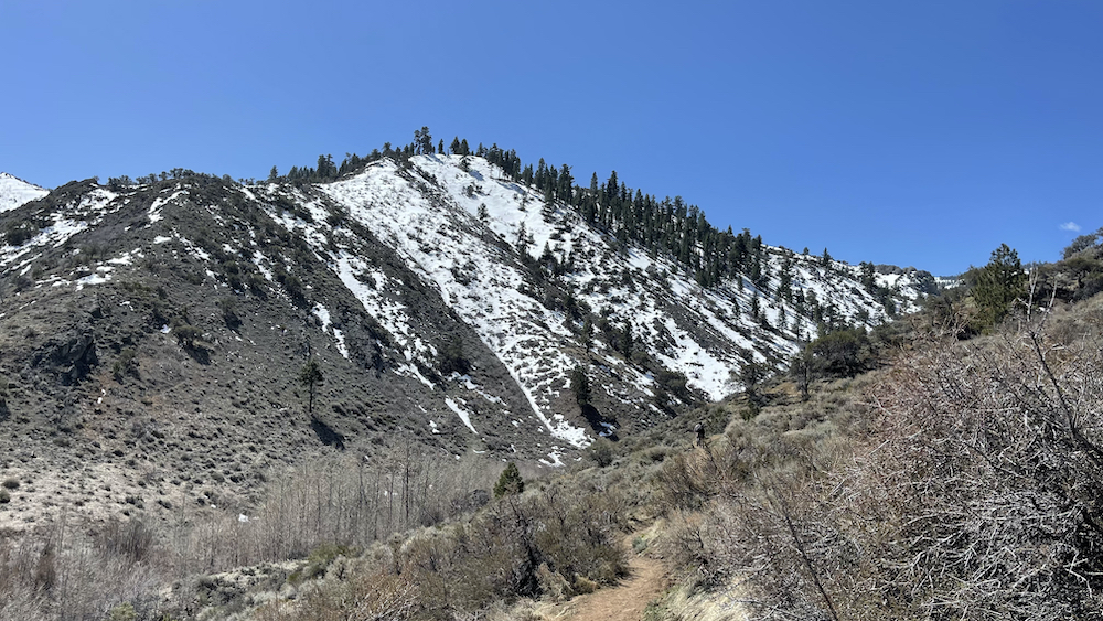
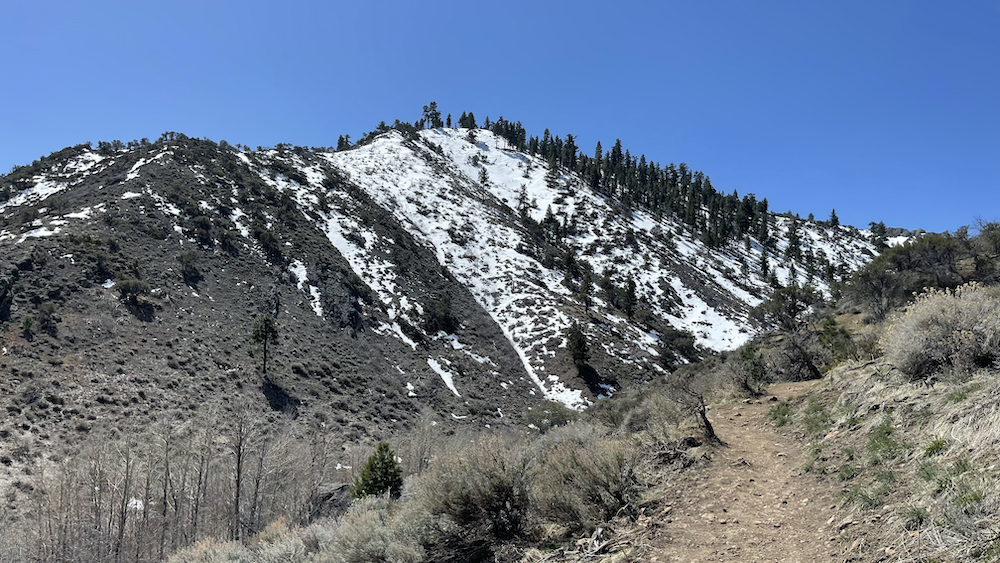
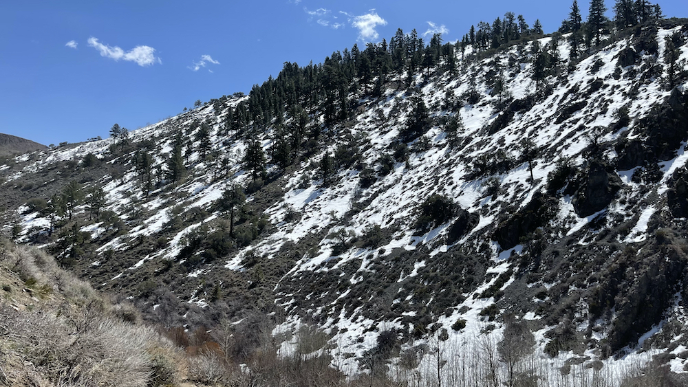
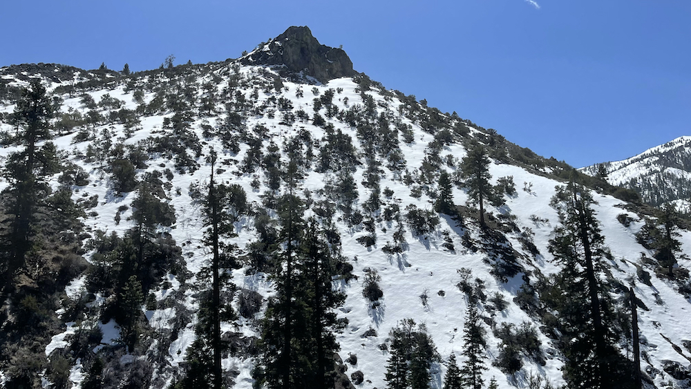
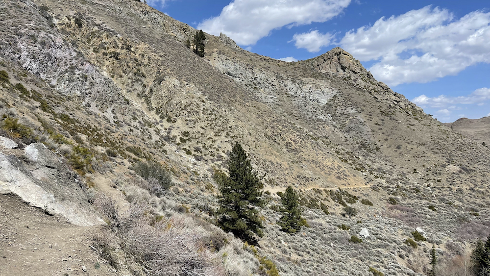
THE CARSON RANGE, THE SHOULDER of the Sierra Nevada just west of Reno, Nevada, has peaks over 10,000 feet and is mostly contained in the Mt. Rose Wilderness Area. It provides unexpected opportunities for outdoor recreation near the urban area, and one such is the Hunter Creek Trail to Hunter Creek Falls.
.
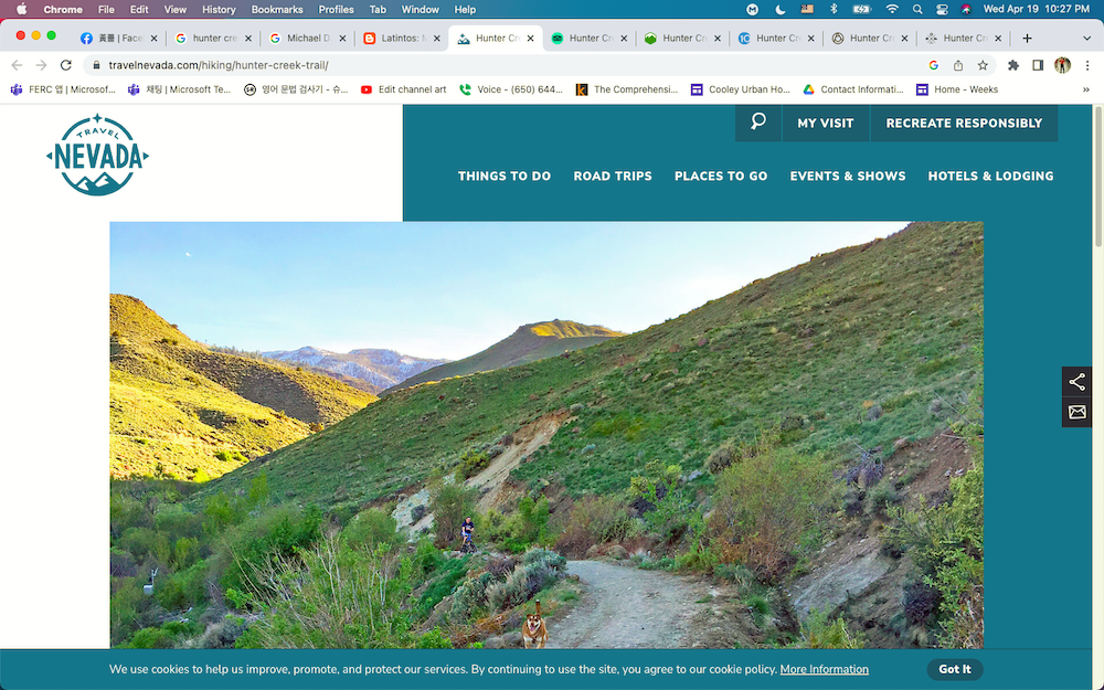
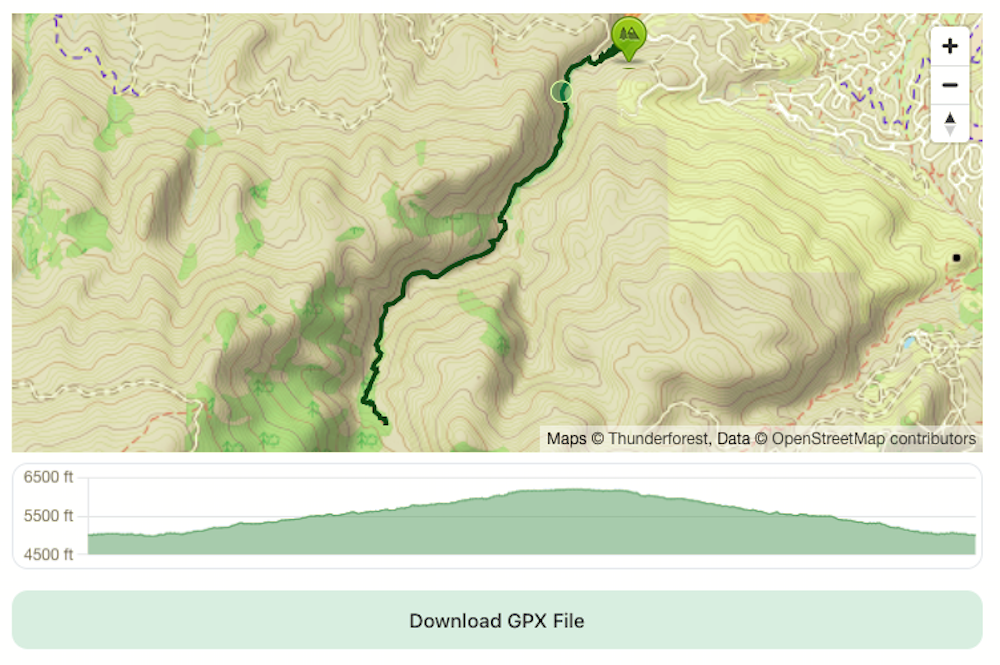
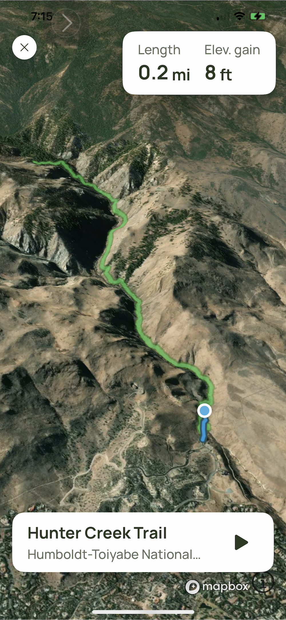
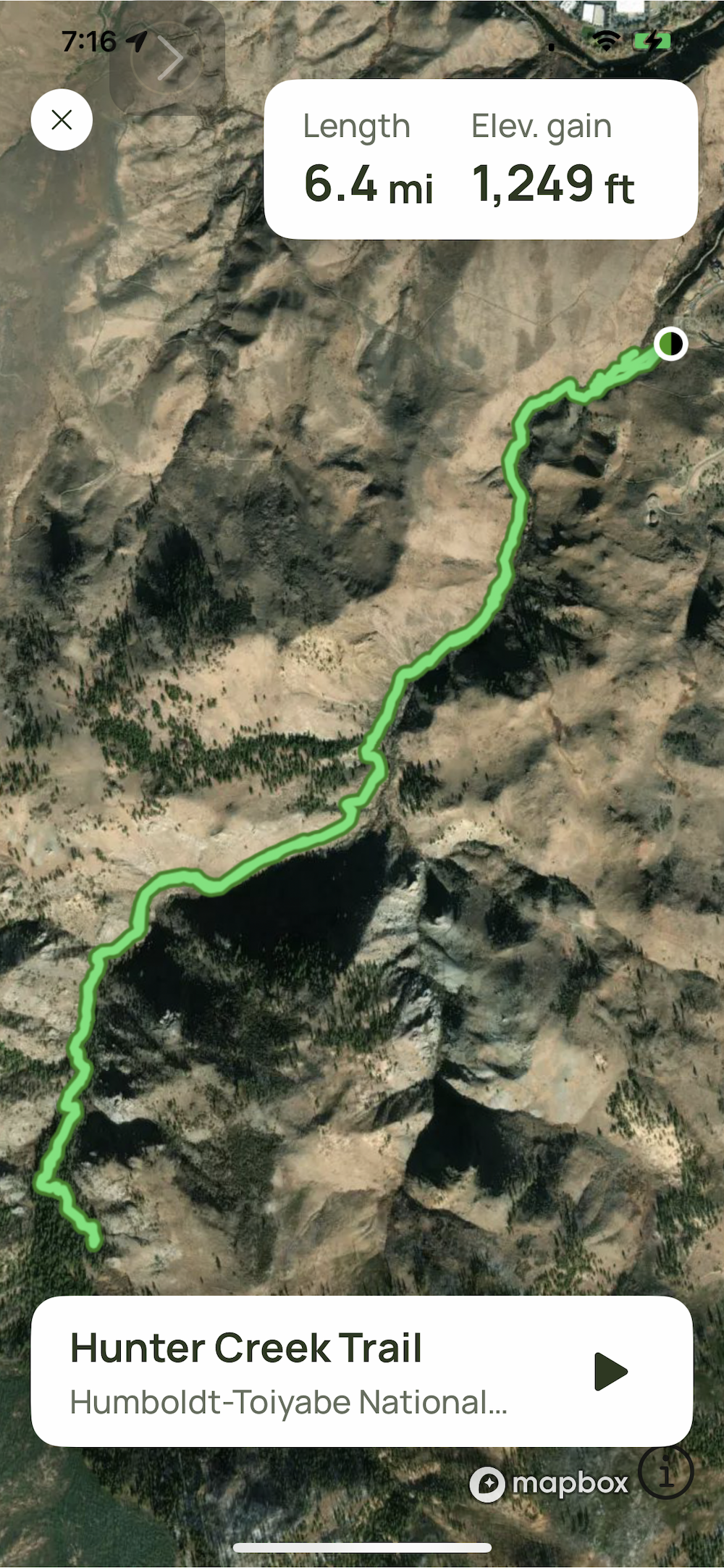
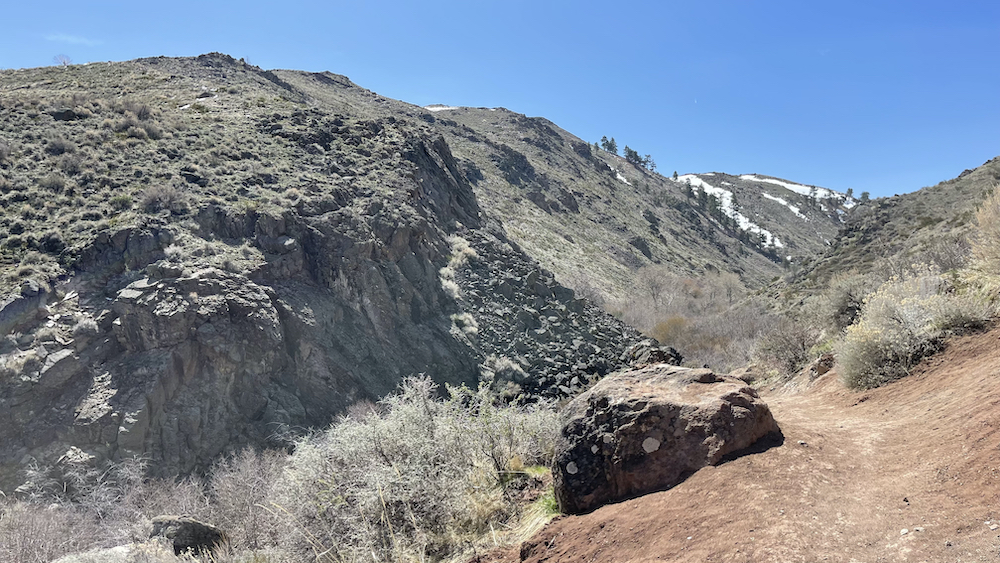
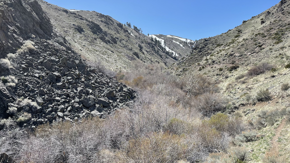
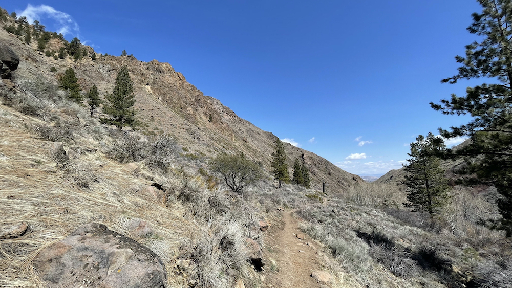
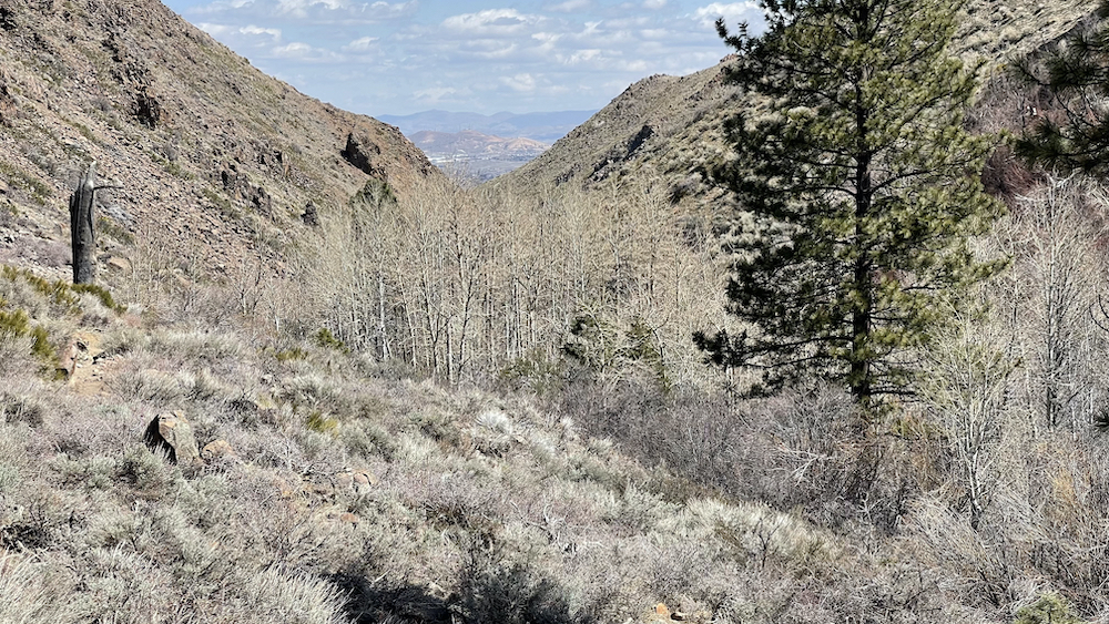
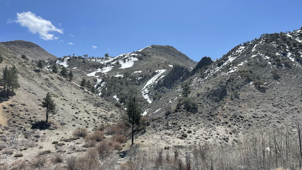
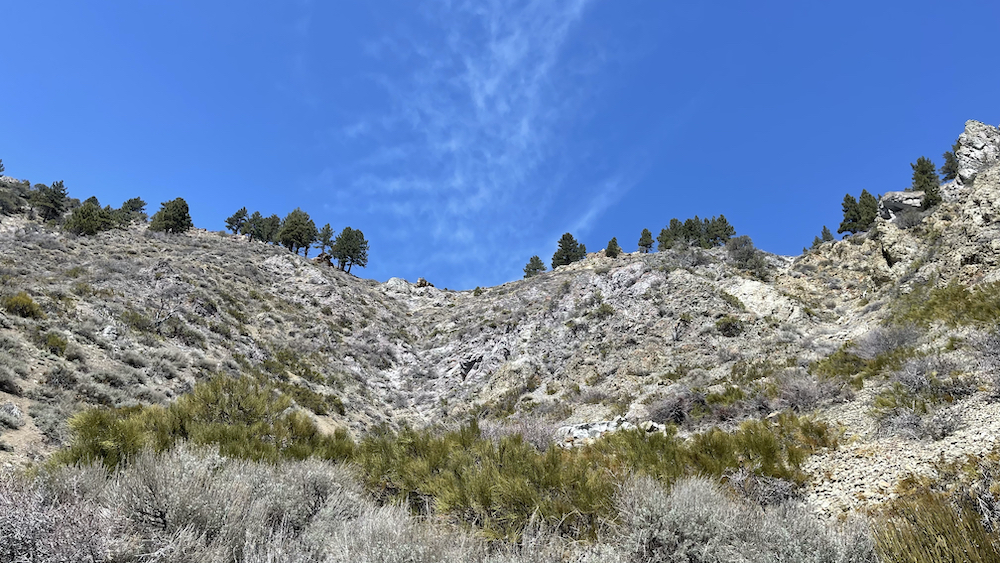
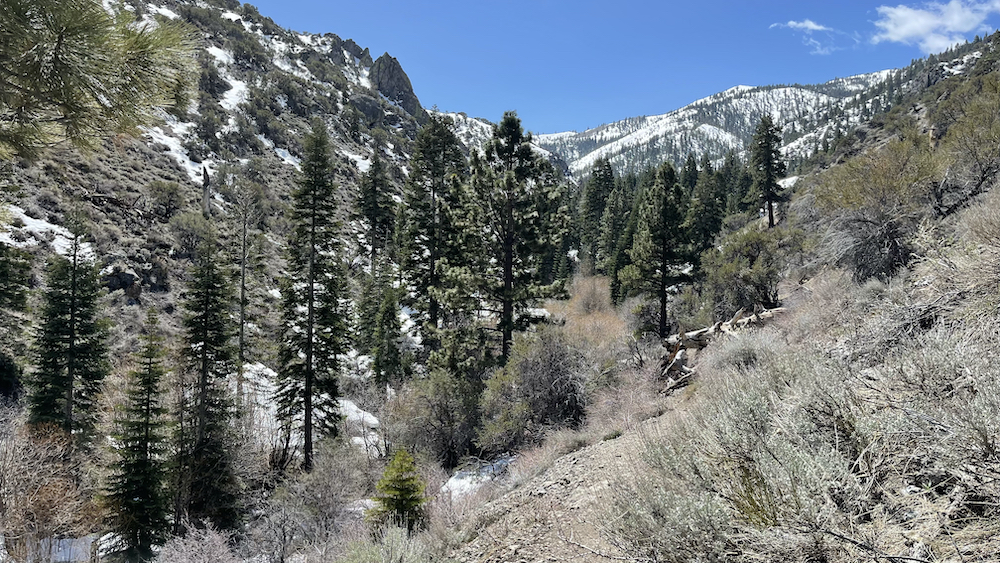
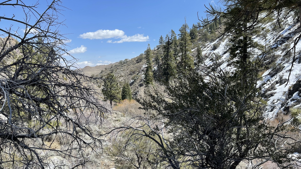
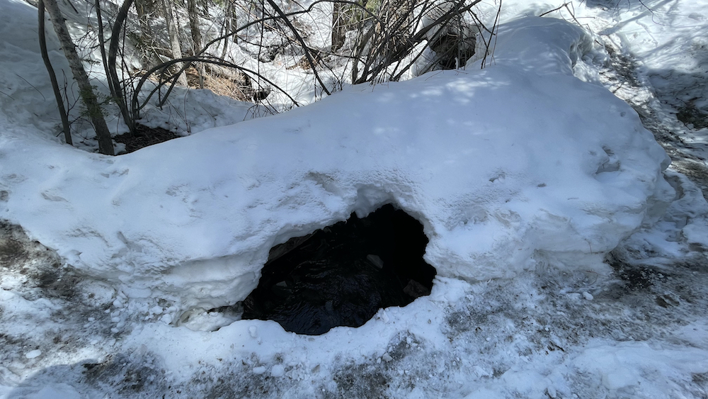
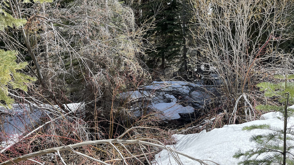
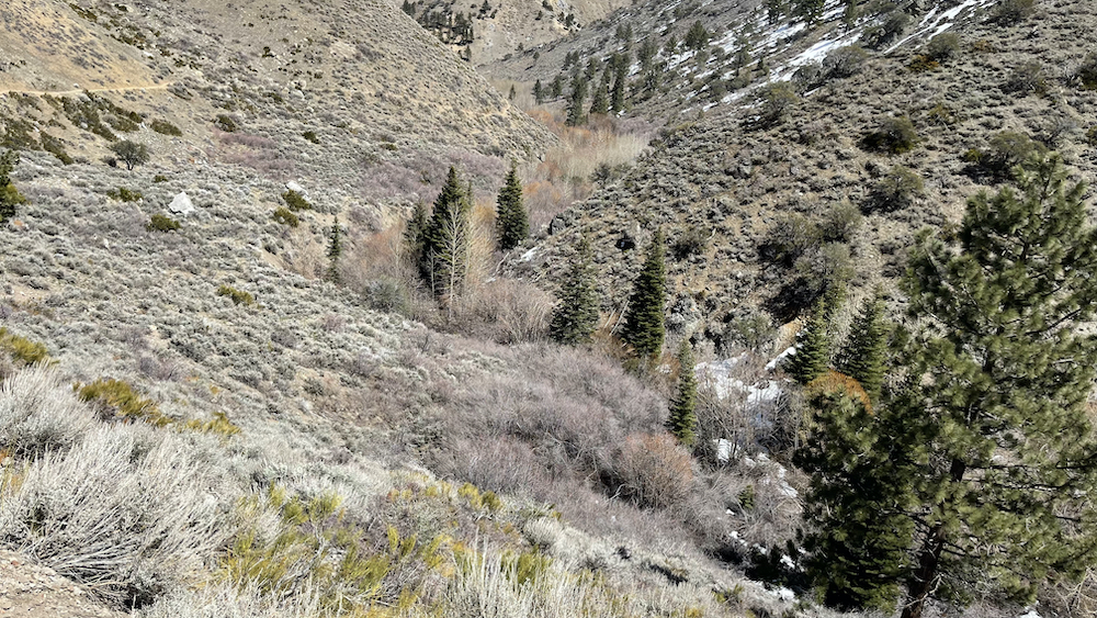
From the trailhead at the edge of a residential area, the trail initially follows an old Jeep road, entering the Mt. Rose Wilderness about a quarter-mile in just past a ford. The trail then stays on the south side of the creek. There’s little shade along this portion of the trail. About half-mile before the falls, the trail enters the forest in the creek bottom where there are a few more fords. All the fords should present no problem except maybe during early-season runoff in wet years.
.
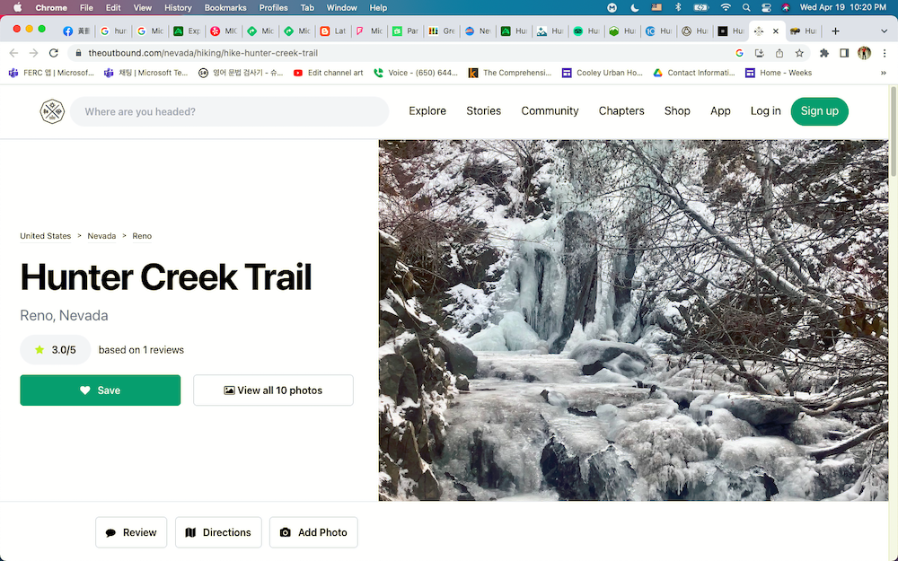
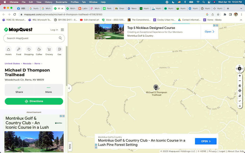
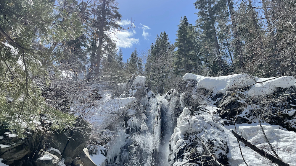
The falls, some 30 feet high, are located in the forest at the end of the well-marked trail. They’re a little more than three miles from the edge of the wilderness area and the total elevation gain is a bit less than 1,200 feet. Hunter Creek is perennial but can dwindle to a trickle late in the season. Take Interstate 80 west from downtown Reno to the North McCarran Blvd. exit. Go south 1.2 miles to Mayberry Drive, crossing the Truckee River.
.
Turn right here, and then in 1.3 miles turn left on Plateau Road. Plateau Road winds around and turns generally south. After 1.1 miles turn right on Woodchuck Circle and follow it to the obvious trailhead, complete with a paved parking lot and restrooms, above Hunter Creek.
.
+++


반응형
'1. Dr. Sam Lee > 여행스케치' 카테고리의 다른 글
| 164. Los Trancos Trail to Fern Loop Trail, Palo Alto, CA (1) | 2023.05.14 |
|---|---|
| 161. EARTH DAY HIKE, SKYLINE OPEN SPACE, LA HONDA, CA QLSATURDAY APRIL 22, 2023 (0) | 2023.04.23 |
| 159. RENO TRUCKEE RIVER TRAIL, RENO, NEVADA (0) | 2023.04.19 |
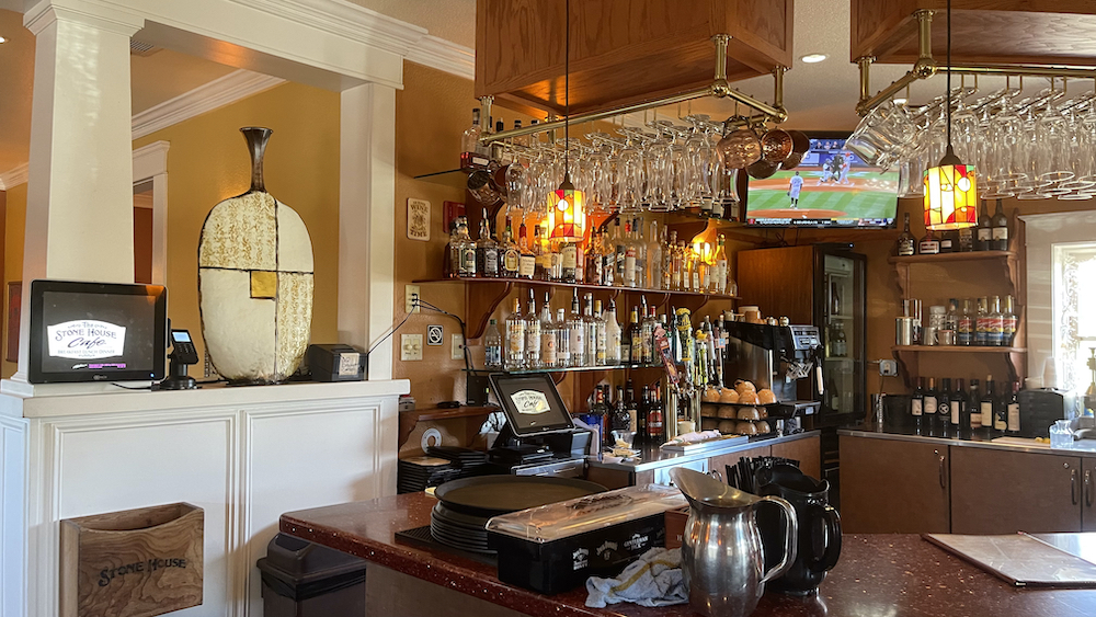
| Sierra Water Gardens, Reno, Nevada (0) | 2023.04.19 |
| 010. 사리원 정방산의 가을 - Jongbangsan in Sariwon by Korea Central News (0) | 2023.04.18 |