반응형
Route Description for Hill 88 Loop
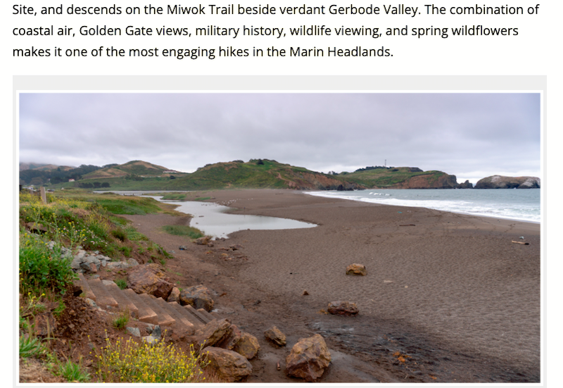
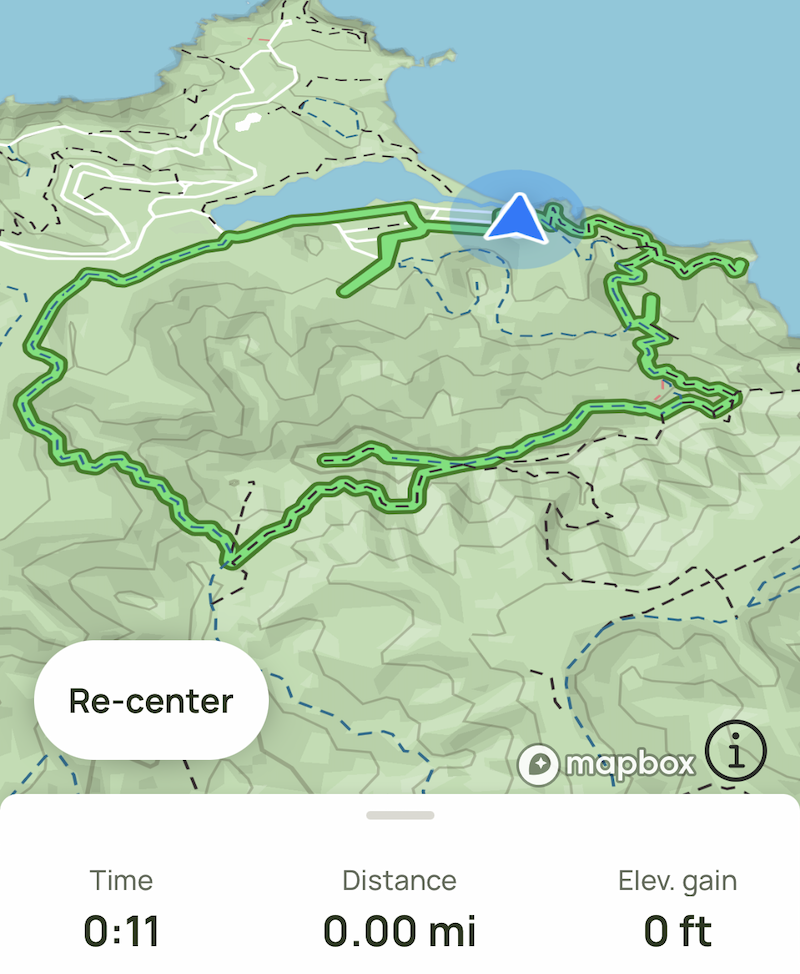
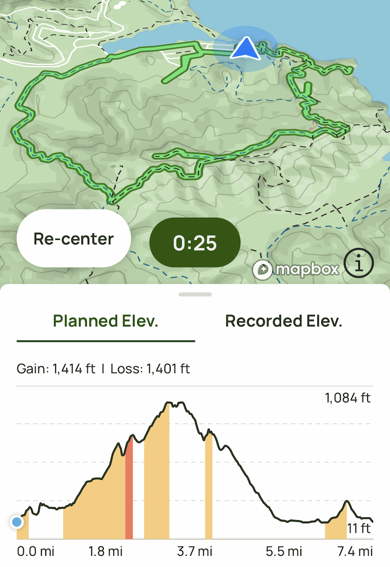
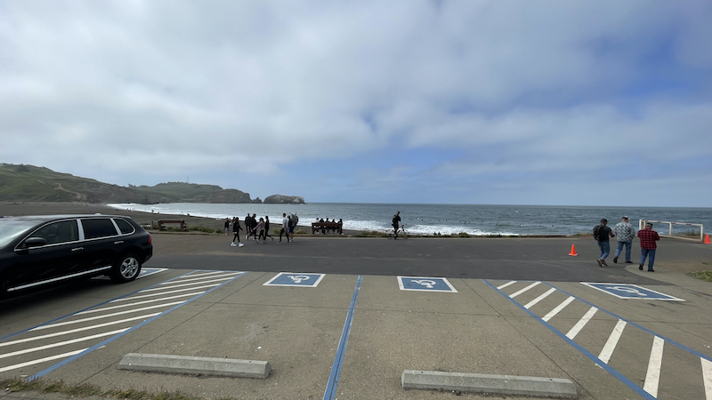
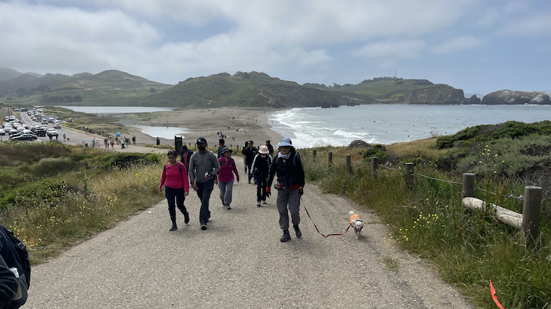
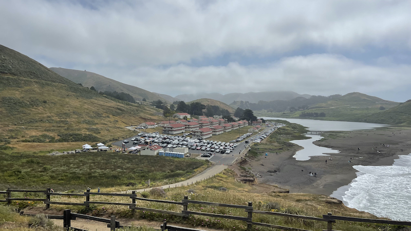
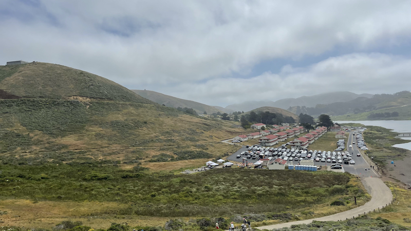
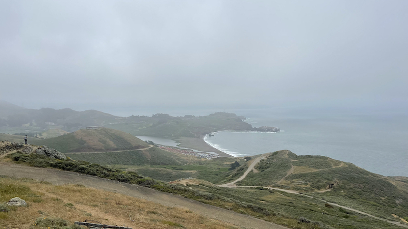
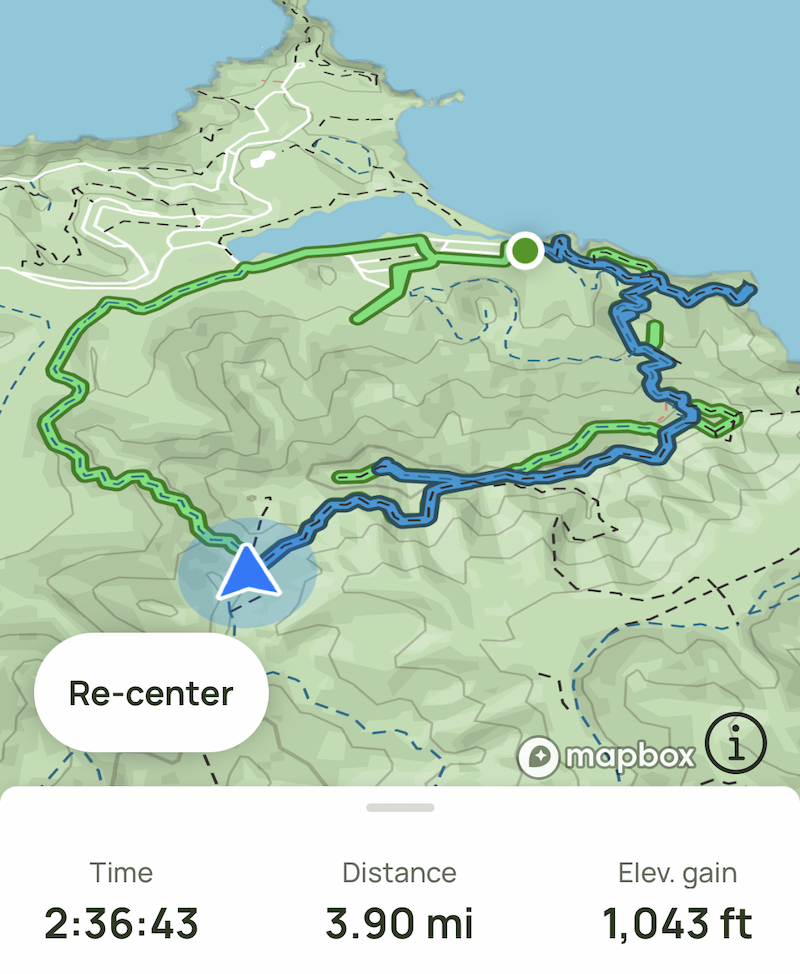
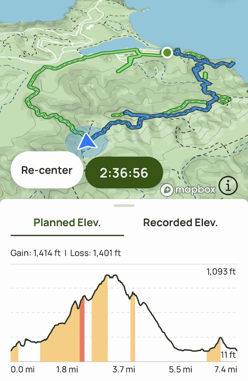
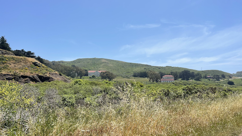
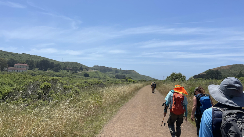
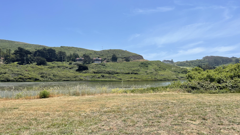
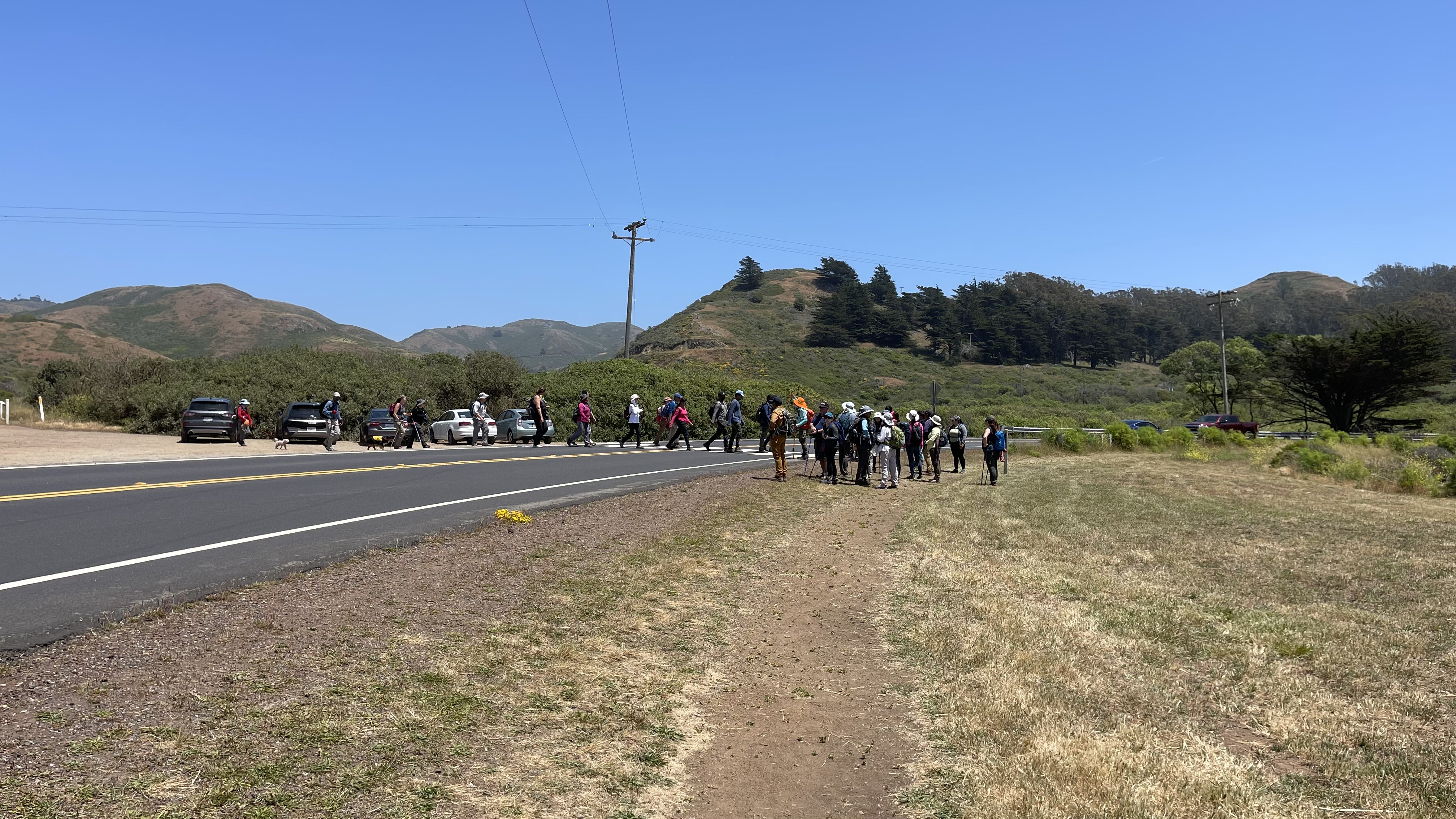
The Hill 88 Loop starts across the street from the parking lot and heads out on a path beside Mitchell Road, going past Rodeo Lagoon. This part of the route goes for 0.7 mi then use the crosswalk to access the Miwok Trail Trailhead. This happens when Mitchell Road / Bunker Road goes right.
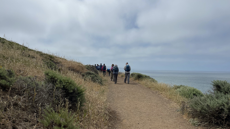
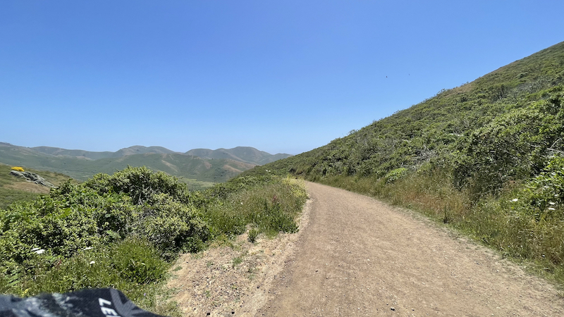
Once on the Miwok Trail stay on this trail for 1.7 mi as it curves around to the left. When you come to a junction, make a sharp left to switch to the Wolf Ridge Trail.
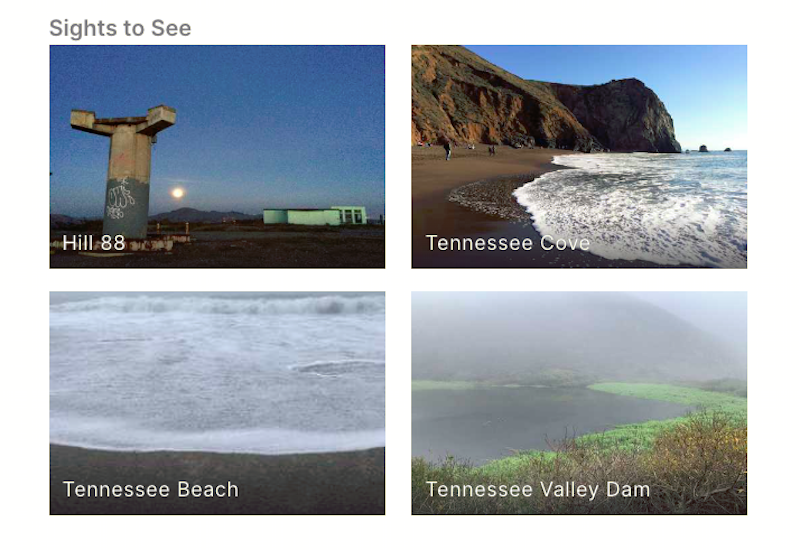
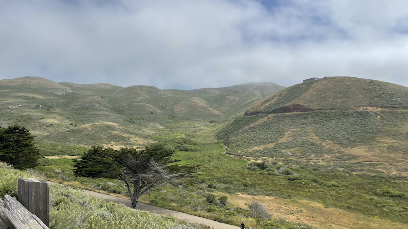
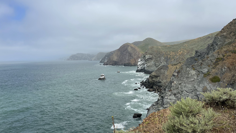
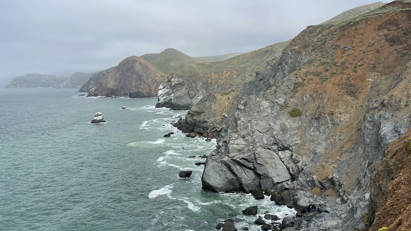
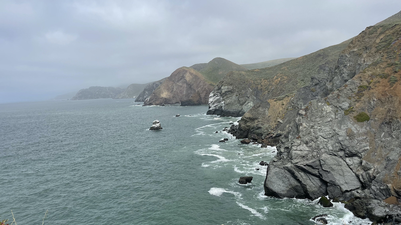
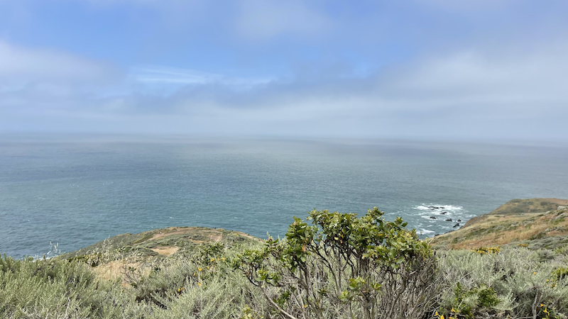
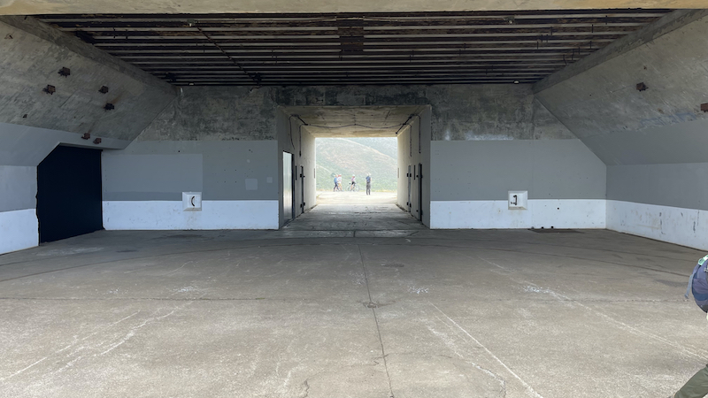
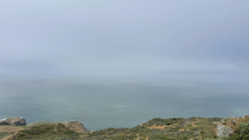
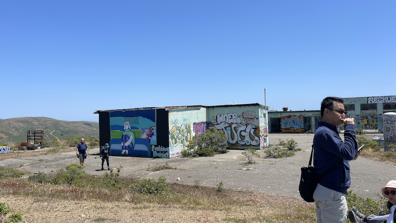
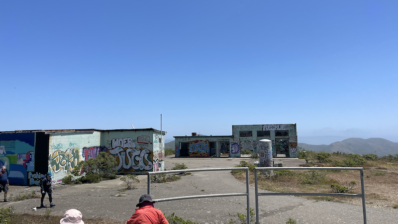
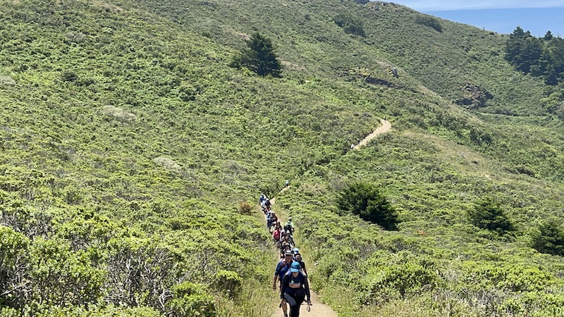
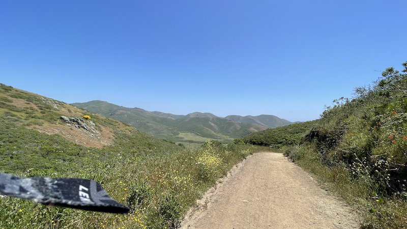
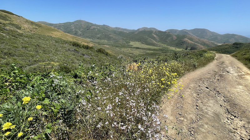
After being on the Wolf Ridge Trail for 0.7 mi switch to the left trail which is called the Coastal Trail. Climb this trail to the top of Hill 88, which is the site of an old military radar control center. The views from the top of Hill 88 are spectacular!
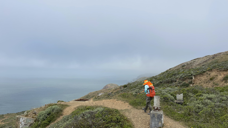
Once back down the hill go left when you get back to the Wolf Ridge Trail. You are now on the Coastal Trail. Keep left at the next 5 forks to stay on the Coastal Trail.
At the 6th fork make a right to start the descent down the hill. Then continue to follow signs for the Coastal Trail until you reach the parking lot.
Insider Hints for Hill 88 Loop
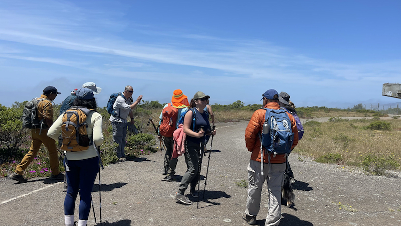
This hike is 100% dog friendly, most of the Golden Gate Recreation Area is dog friendly!
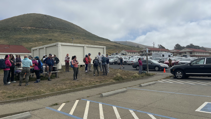
The parking lot fills up on the holidays and weekends, be sure to arrive early in the day to get a parking spot.
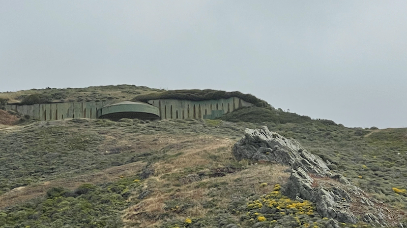
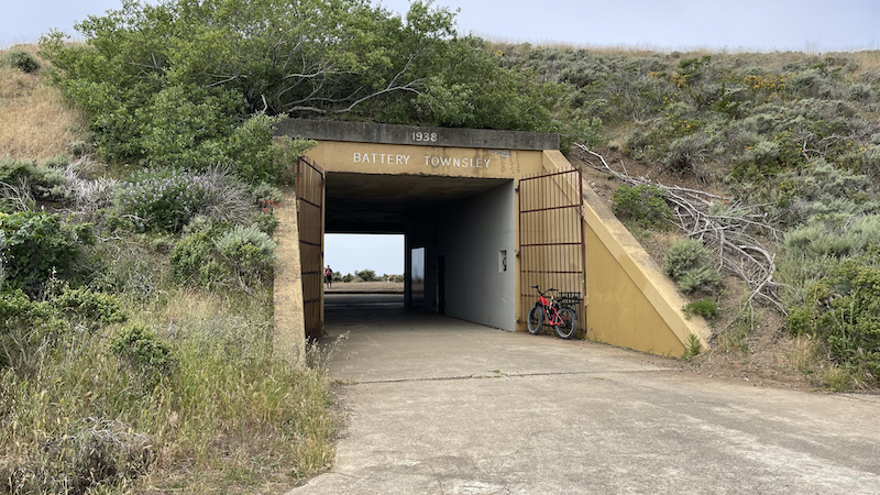
If you have some time plan on exploring the old ruins of the Batteries and other structures within the park just off the trails.
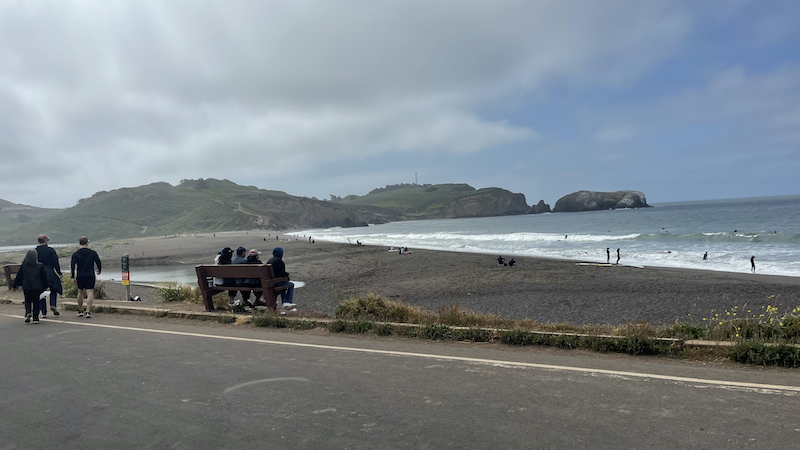
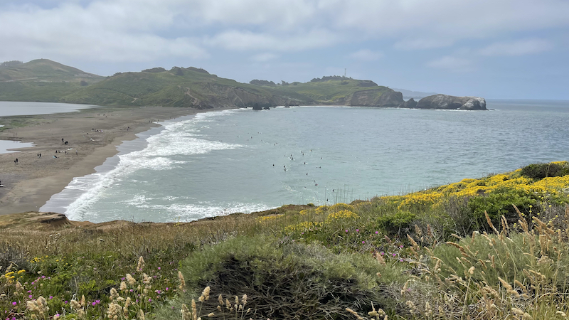
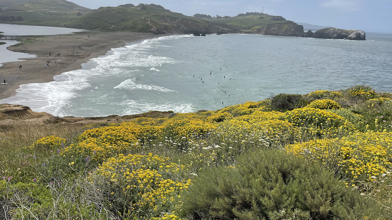
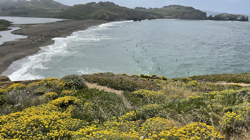
Consider stopping off at Rodeo Beach after your hike. We love this beach, and can spend a long time enjoying the ocean views and watching surfers catch waves in Rodeo Cove.
Getting to the Hill 88 Loop Trailhead
Cross the Golden Gate Bridge and take exit 442 onto Alexander Ave. Then take a left onto Bunker Road and follow it for 3.1 mi, and it turns into Mitchell Road. Park at the Fort Cronkhite Parking Lot at the end of Mitchell Road.
























































반응형
