반응형
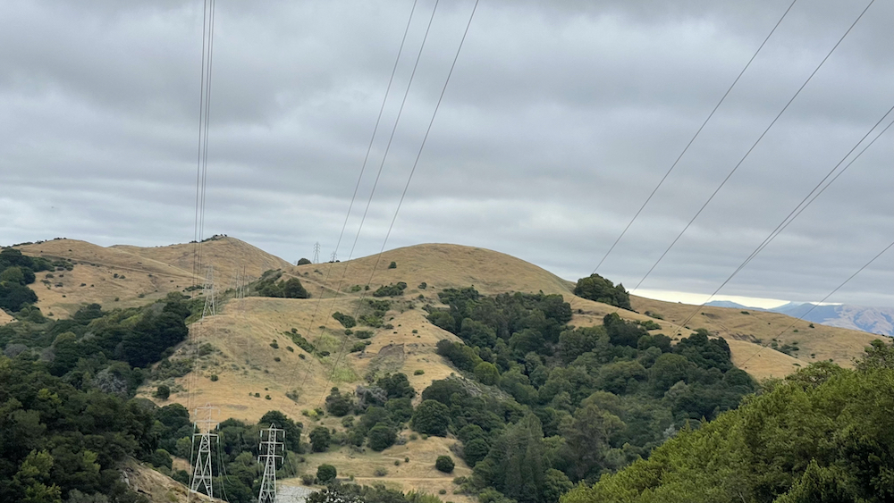
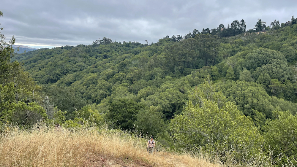
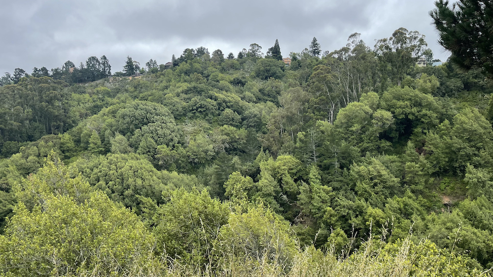
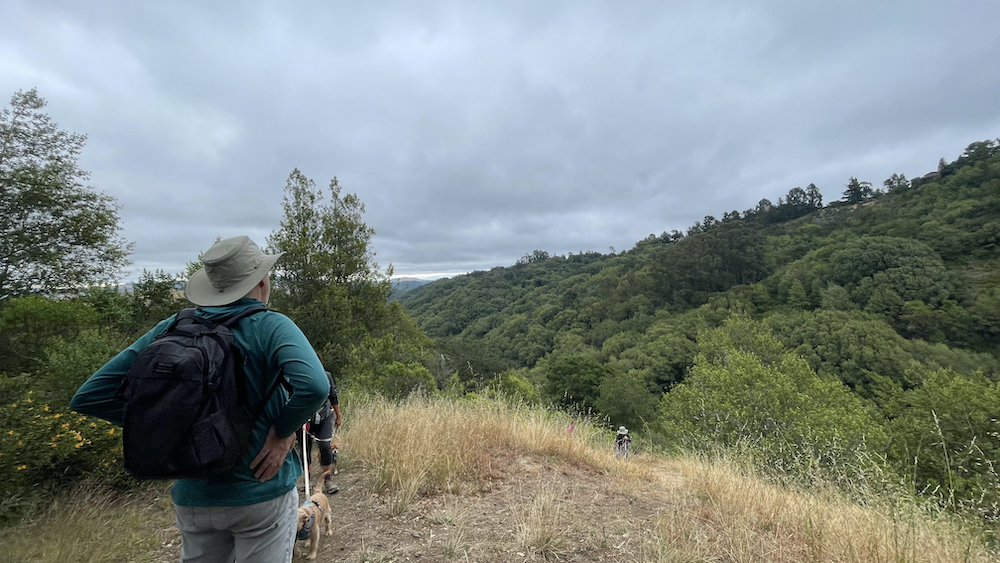
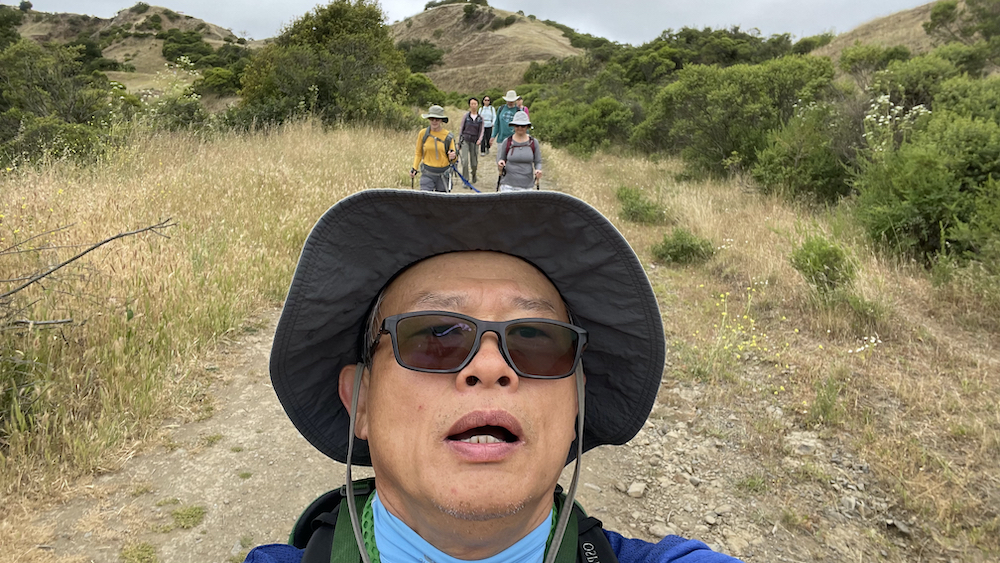
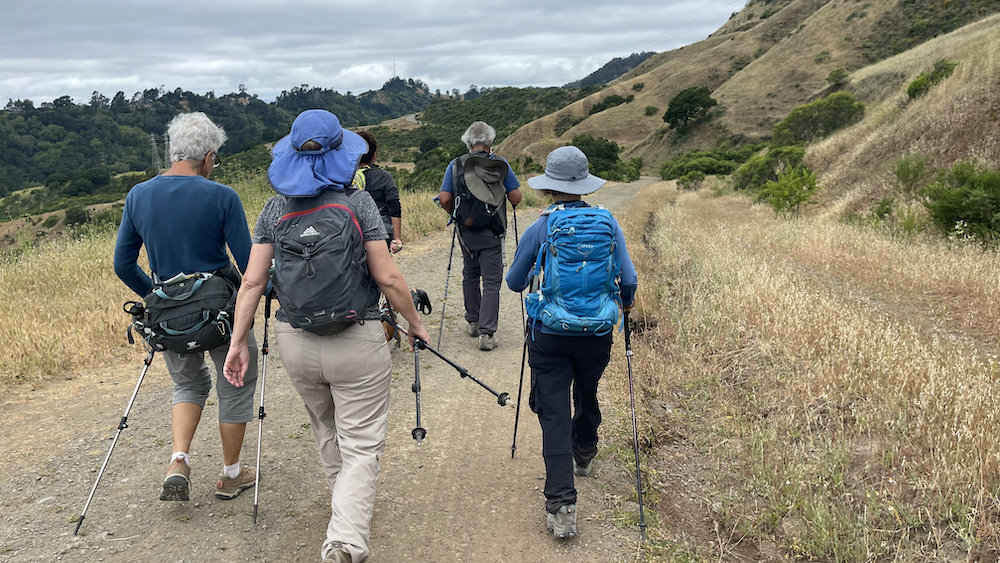
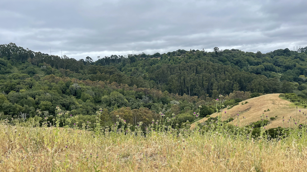
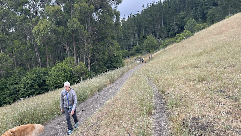
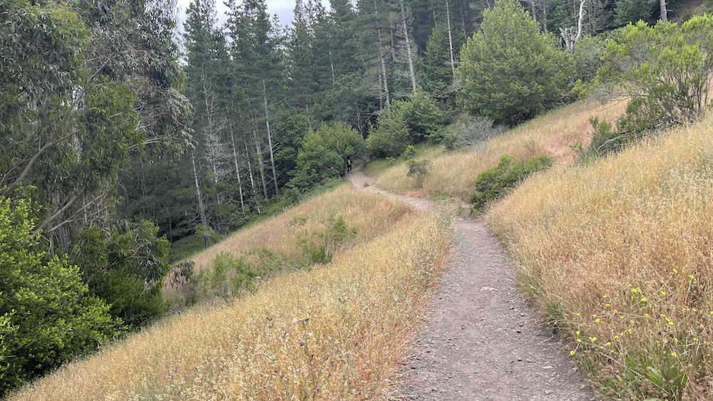
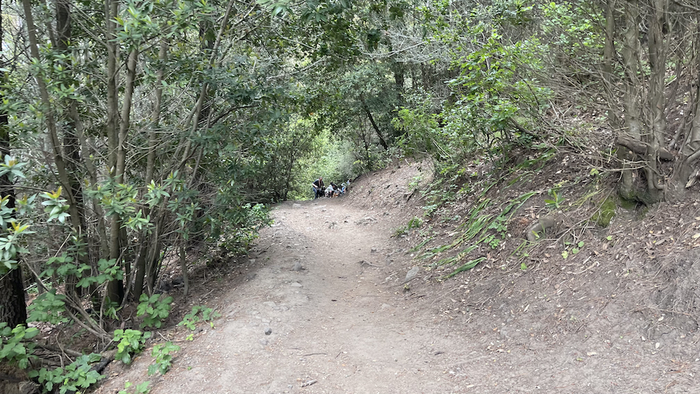
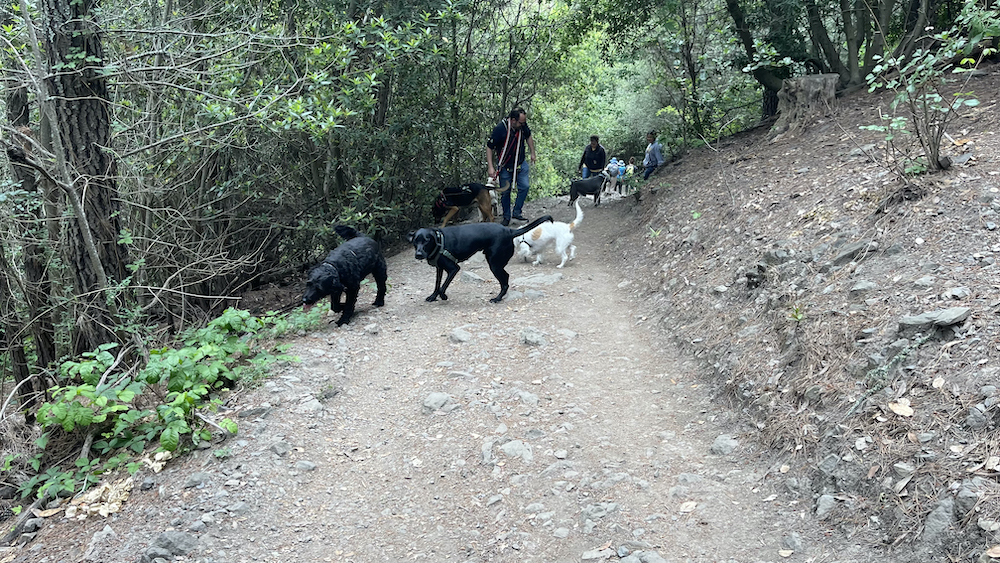
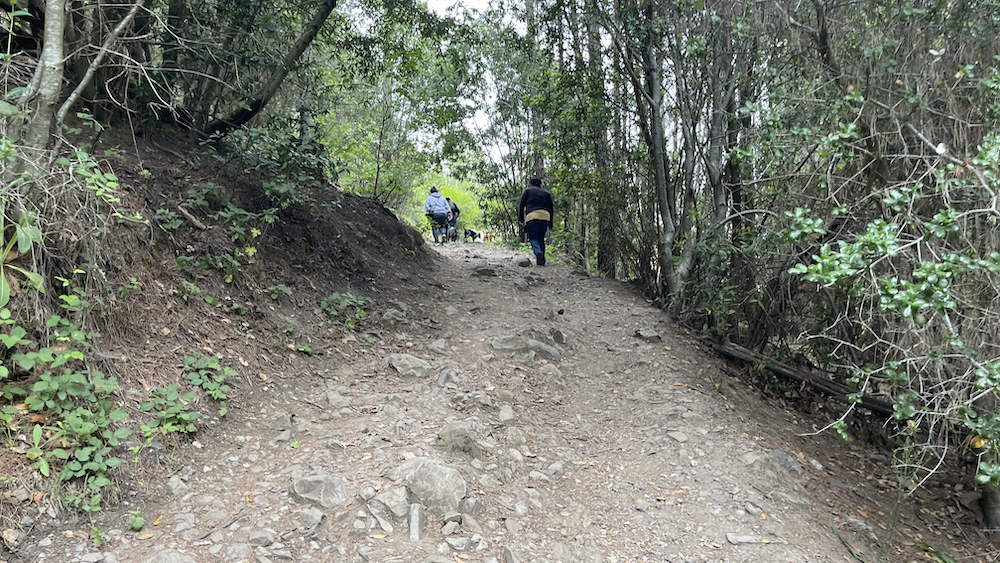
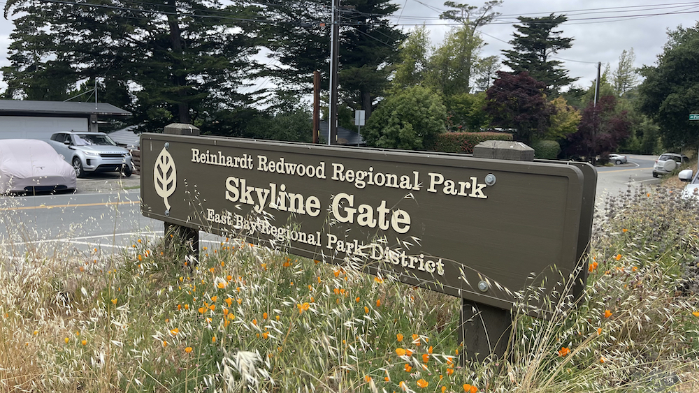
Dr. Aurelia Reinhardt Redwood Regional Park (formerly known as Redwood Regional Park) is a part of the East Bay Regional Parks District (EBRPD) in the San Francisco Bay Area. It is located in the hills east of Oakland. The park contains the largest remaining natural stand of coast redwood (Sequoia sempervirens) found in the East Bay. The park is part of a historical belt of coast redwood extending south to Leona Canyon Regional Open Space Preserve and east to Moraga. Redwood forests are more commonly found closer to the coast where the air is cool and humid year-round. In the Bay Area, such forests are found in the Santa Cruz Mountains and the Marin Hills. The unique geographical circumstances of the redwood forest in Redwood Regional Park create coastal conditions. Winds funneled through the Golden Gate flow directly across the Bay and are channeled into the linear valley in which the Montclair District of Oakland is situated. This valley is also well-watered all year round and is protected from extremes of temperature and high winds.
.
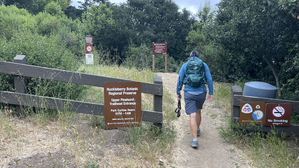
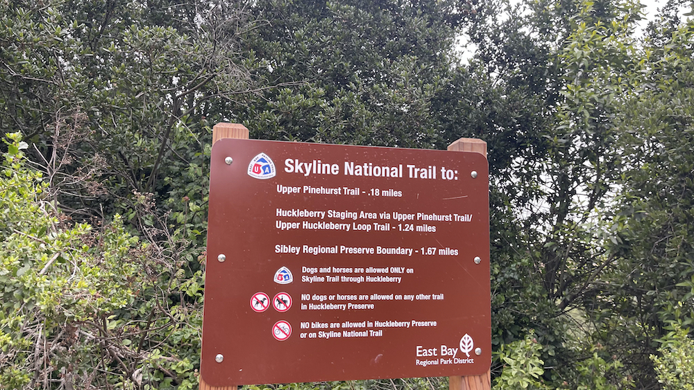
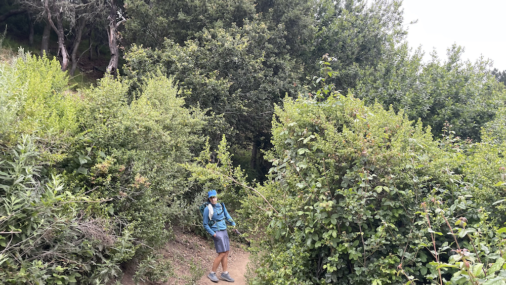
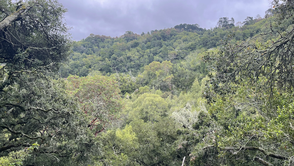
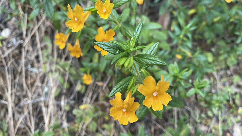
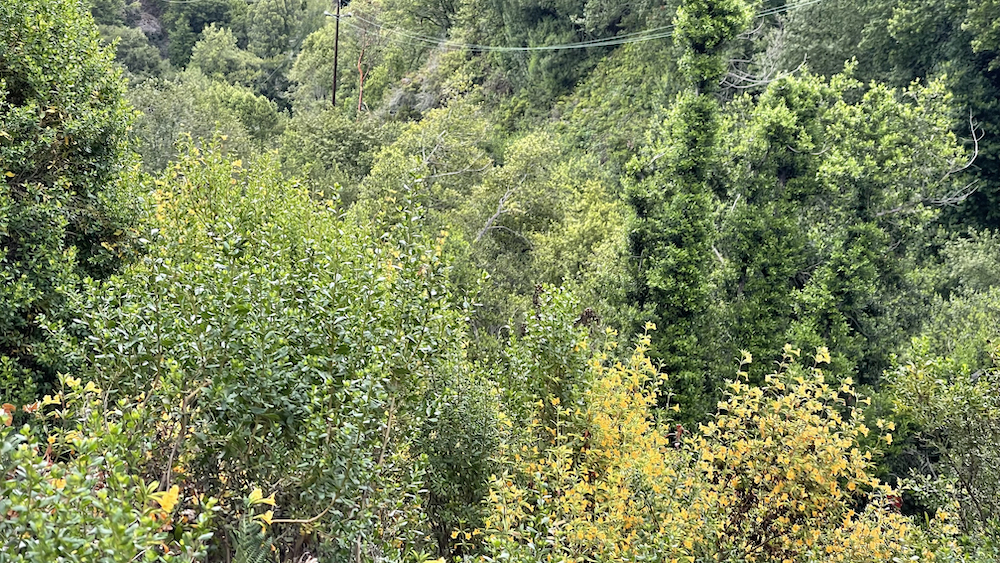
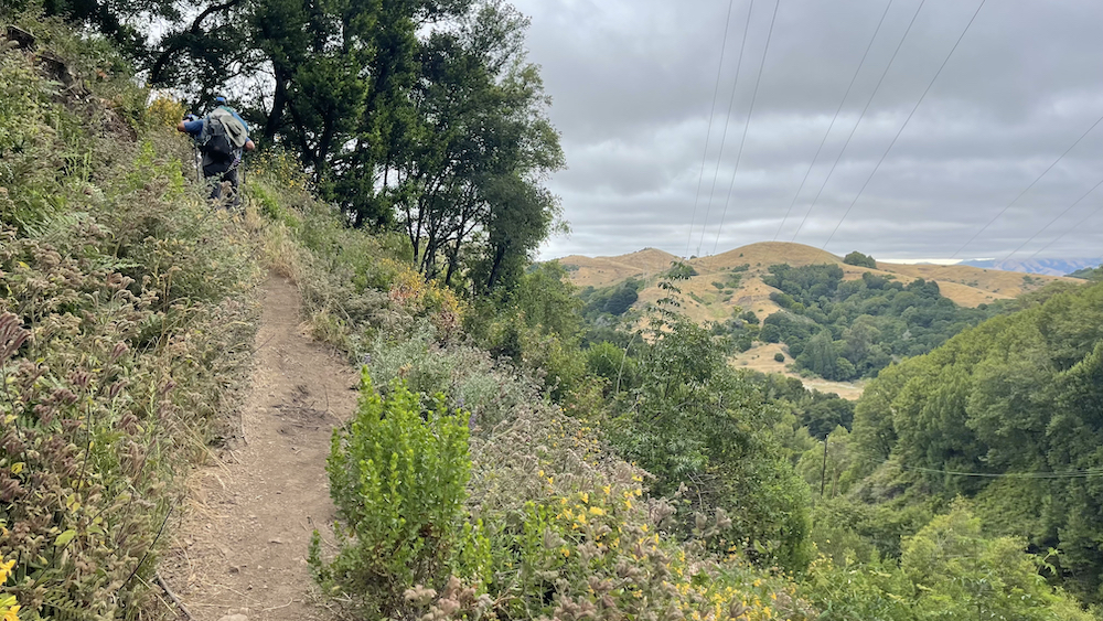
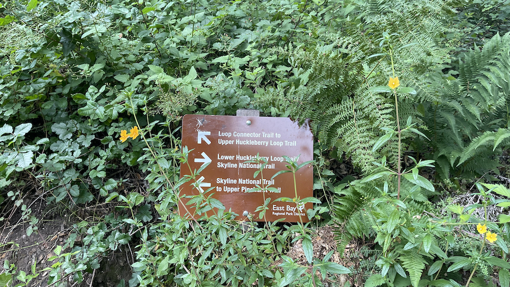
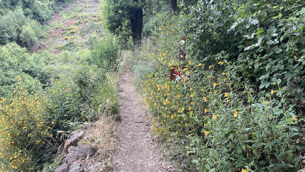
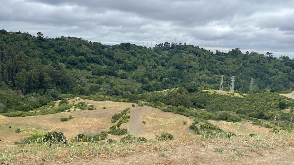
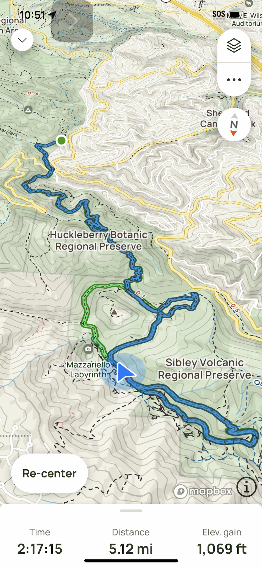
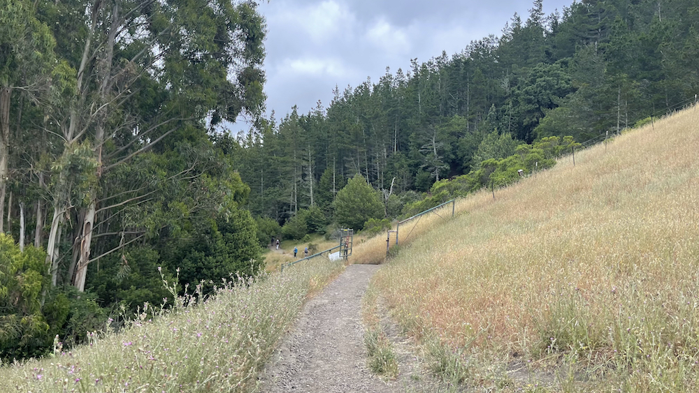
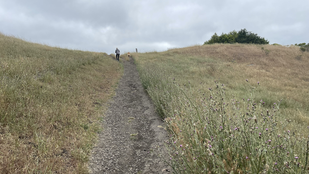
Huckleberry Botanic Regional Preserve is a 241 acres (0.98 km2) regional park and nature reserve in the Oakland Hills, in the eastern East Bay (San Francisco Bay Area) region of the San Francisco Bay Area of California. It is within Alameda and Contra Costa Counties. It is a park within the East Bay Regional Parks District system. The Preserve is named after the California Huckleberry (Vaccinium ovatum) which grows abundantly within its habitat. The Huckleberry Botanic Regional Preserve is on the crest of the Oakland Hills, located above Oakland and Orinda. It represents a relic plant association found only in certain areas along the coastal climate region of California, where specific soil and climatic conditions still exist. It is a very diverse botanical area for native plants of the mixed evergreen forest and montane chaparral and woodlands ecoregions and plant communities. Trails connect the preserve with Robert Sibley Volcanic Preserve on the north, and Redwood Regional Park on the south. The Huckleberry Trail is a 1.7 miles (2.7 km) self-guided nature path that loops through the Preserve. Besides the California Huckleberry, other plants include the Golden chinquapin (Chrysolepis chrysophylla), western leatherwood, Douglas iris, wood fern and western sword fern. Trees include California Bay (Umbellularia californica), Coast live oak (Quercus agrifolia), pallid manzanita, brittleleaf manzanita, and California hazelnut.
.
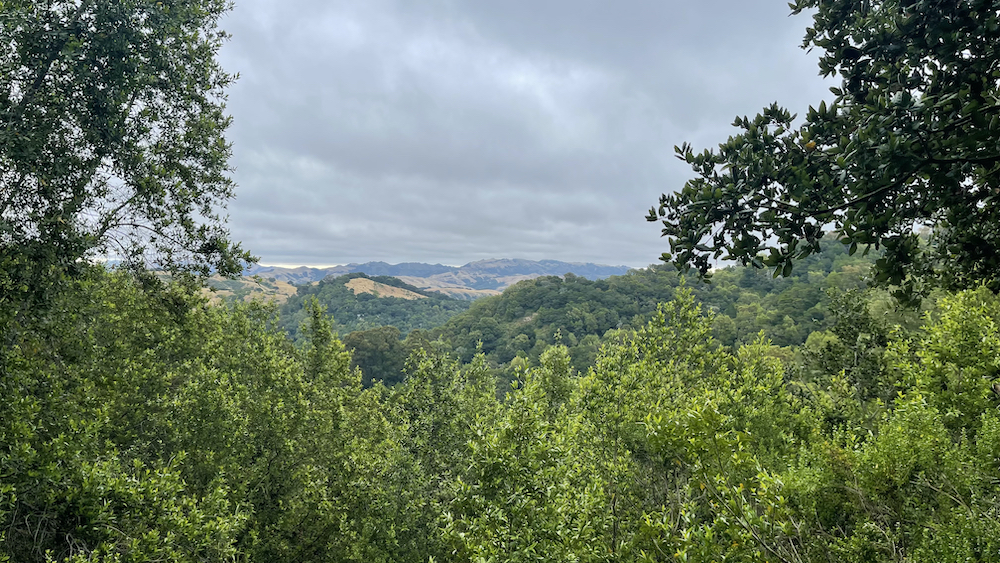
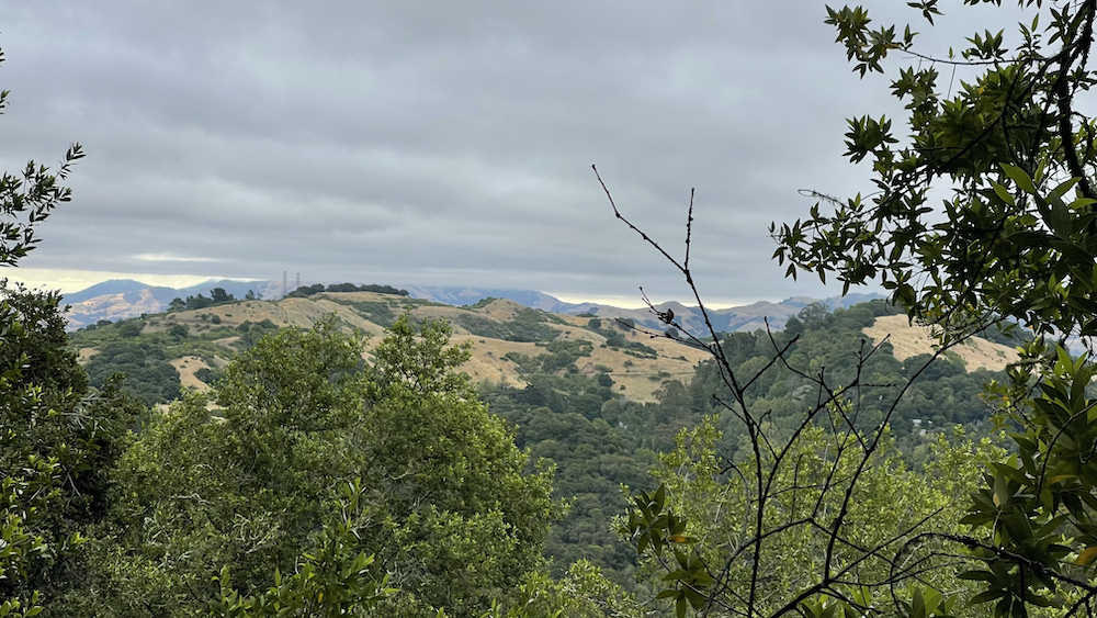
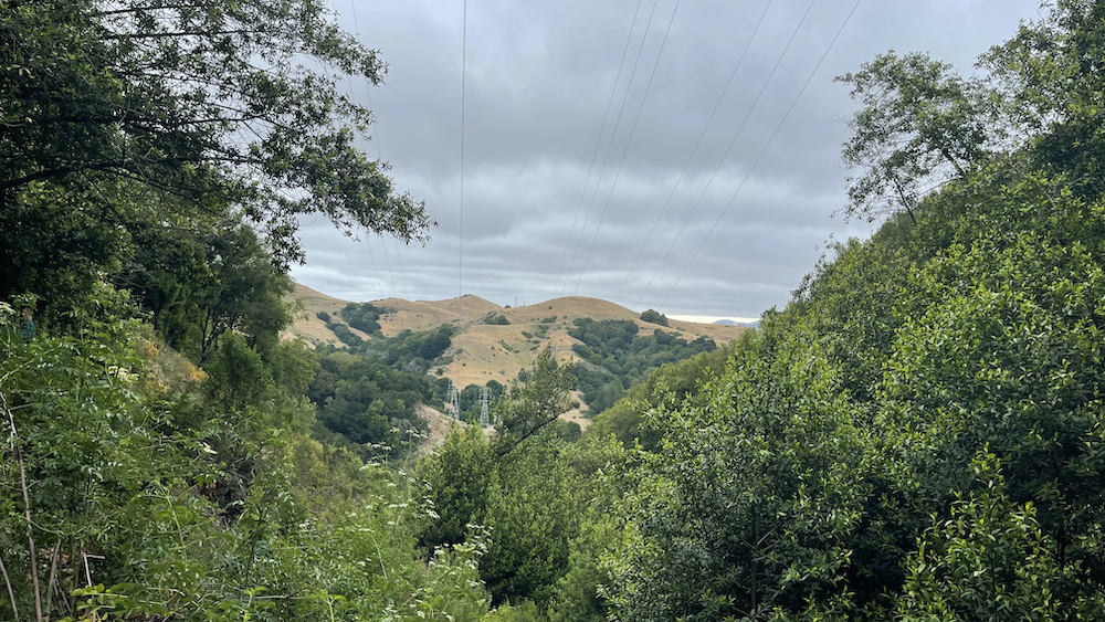
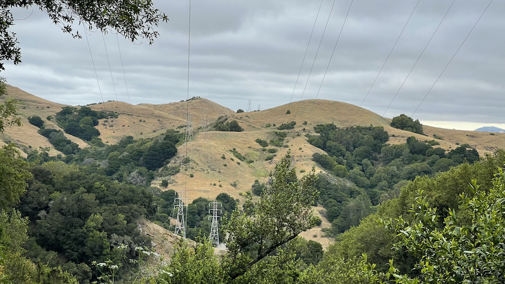
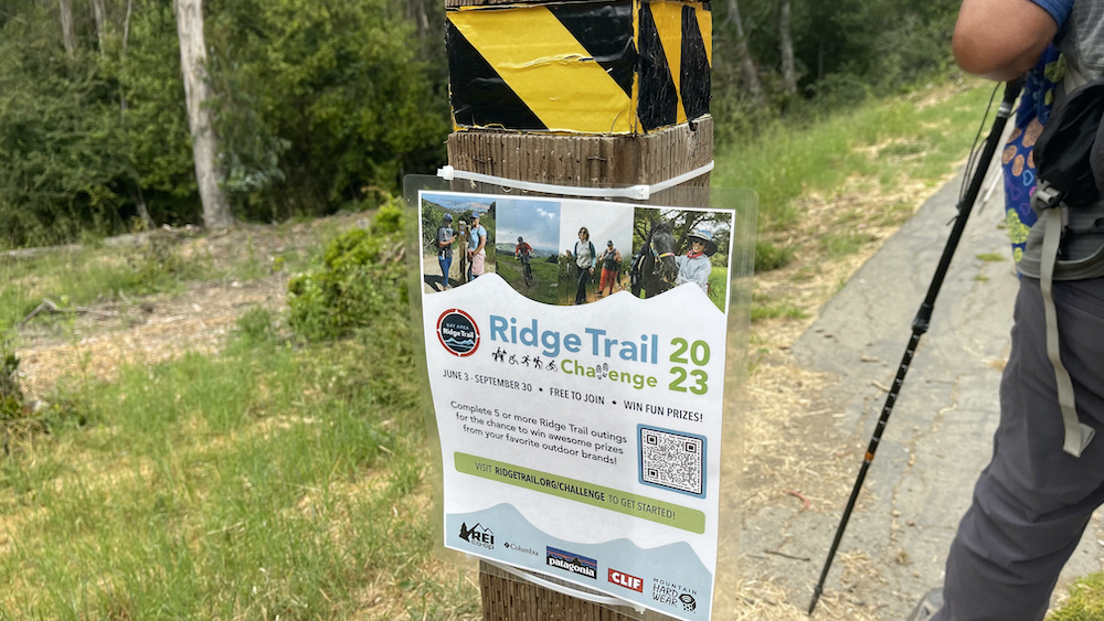
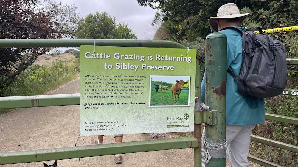
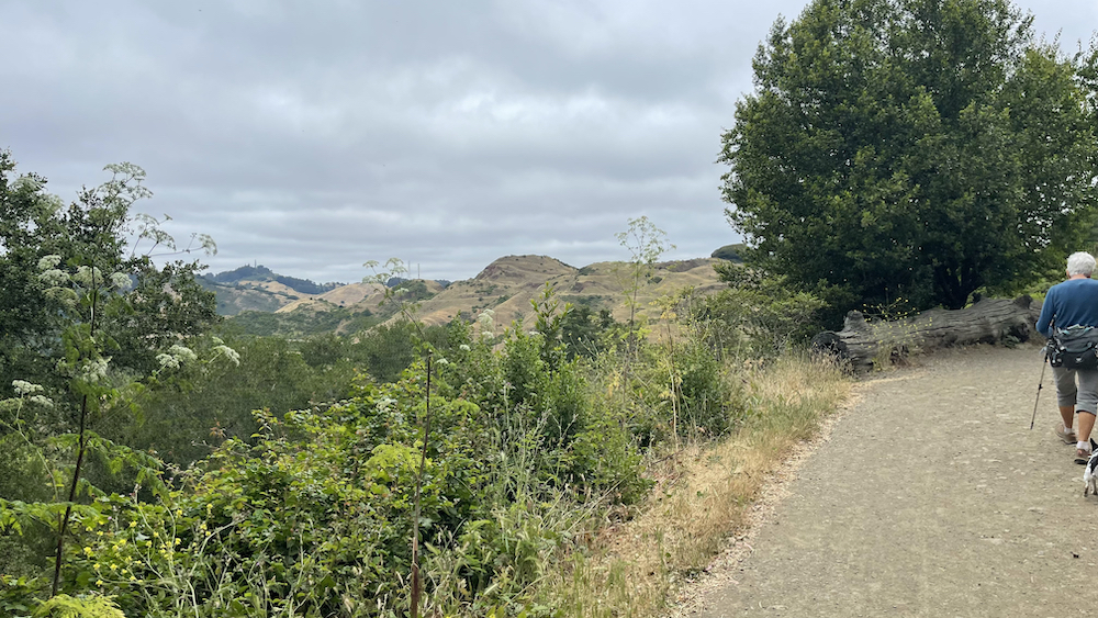
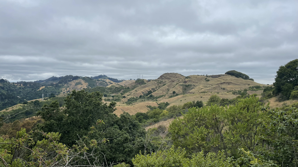
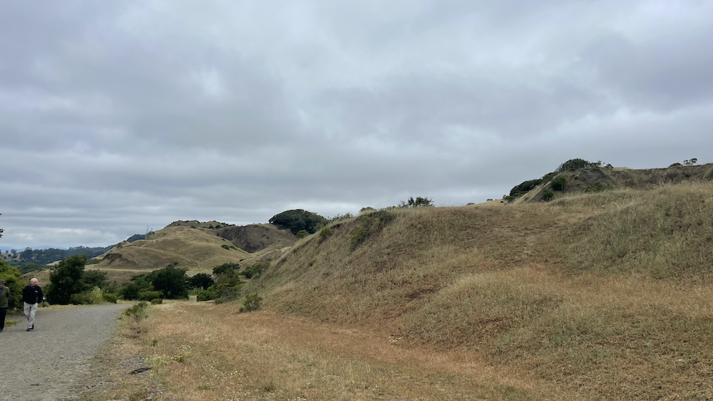
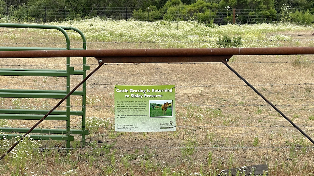
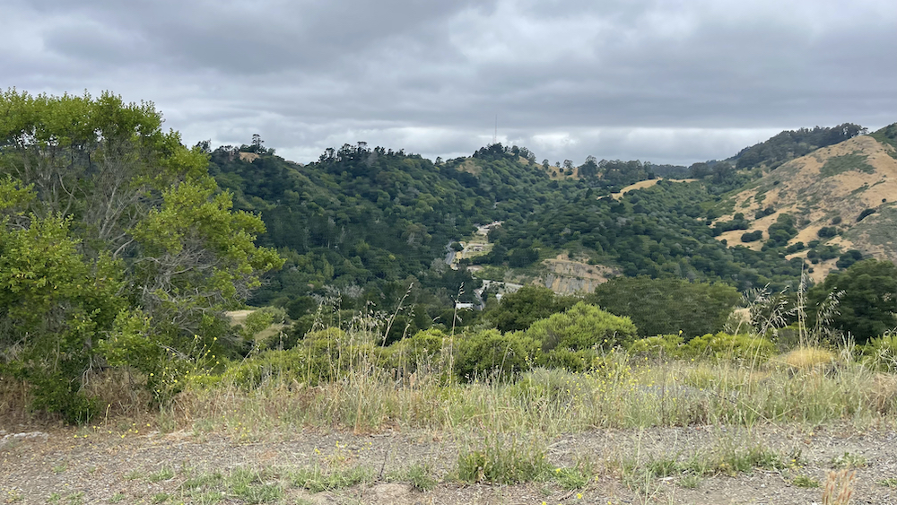
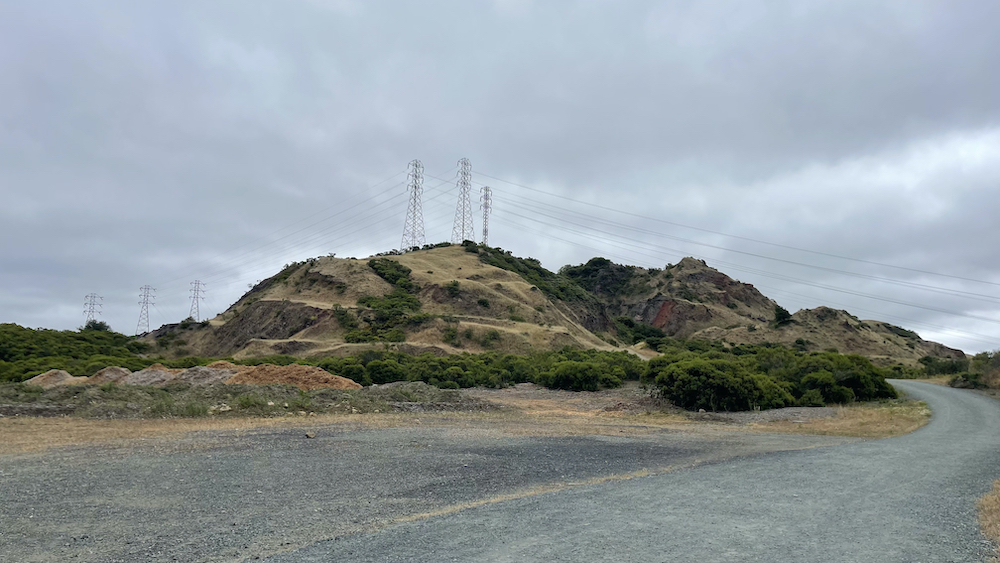
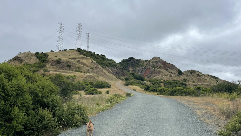
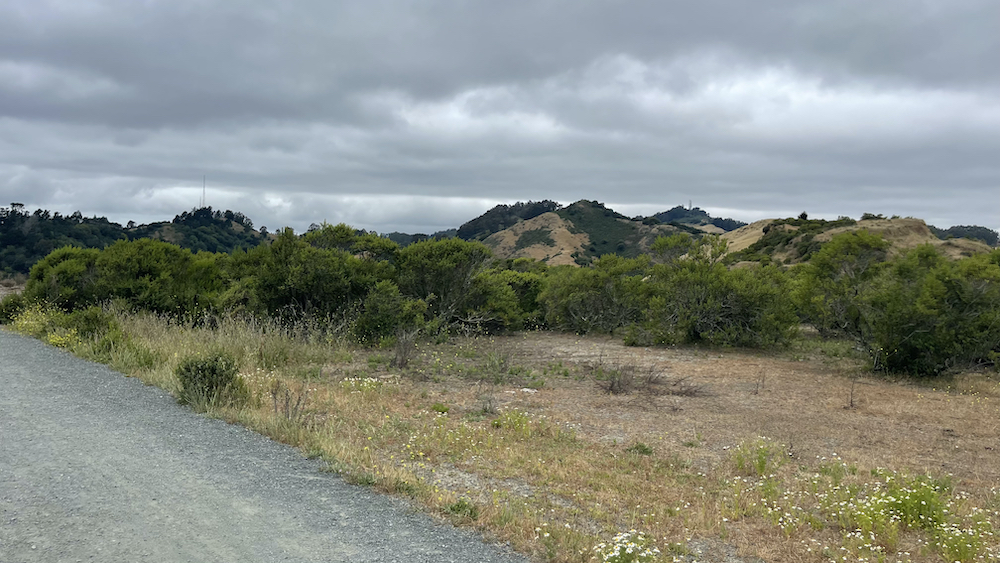
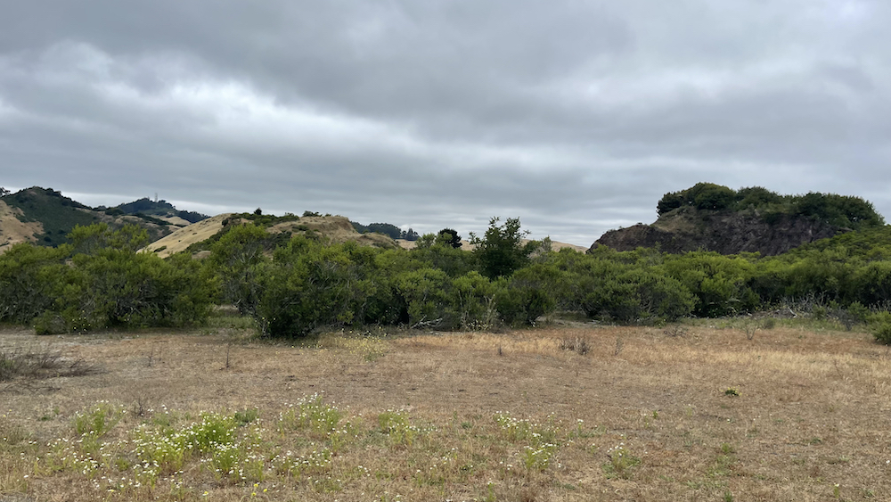
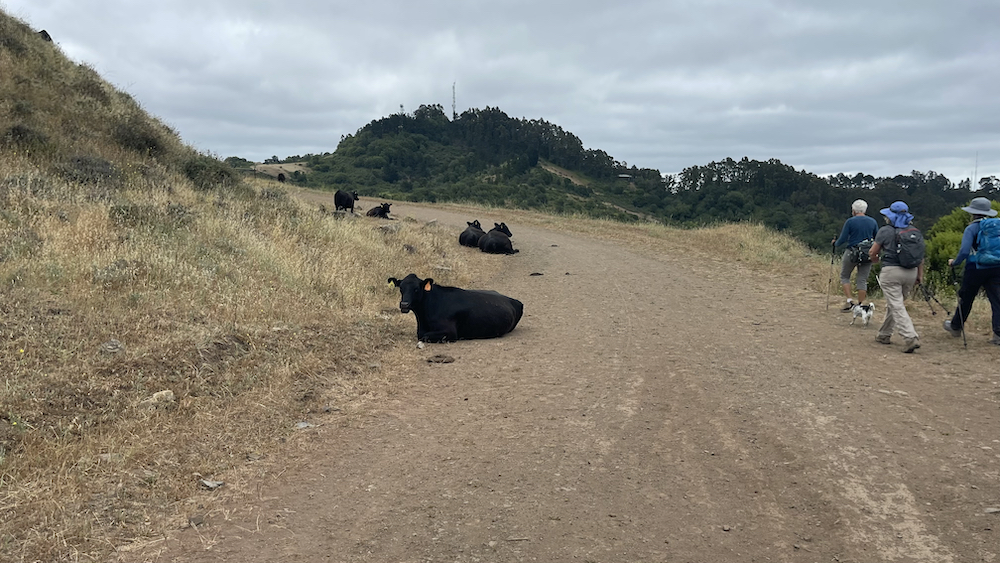
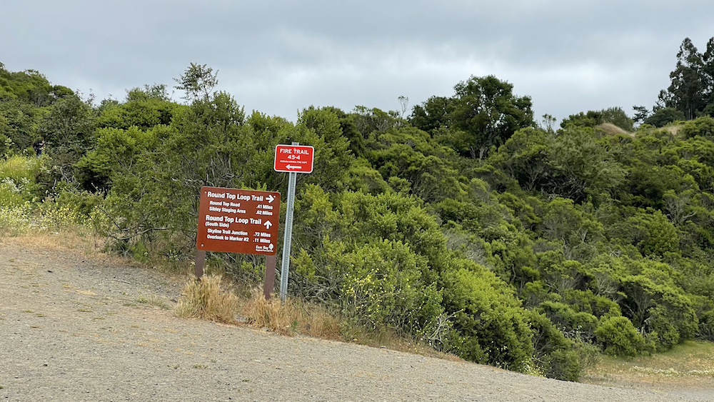
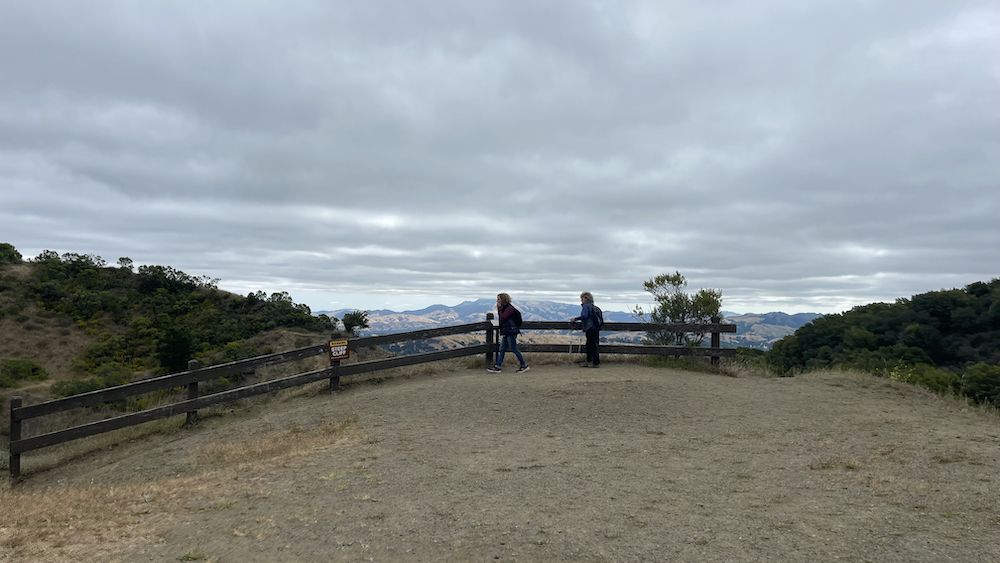
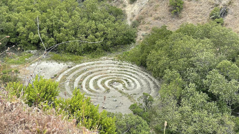
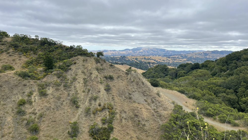
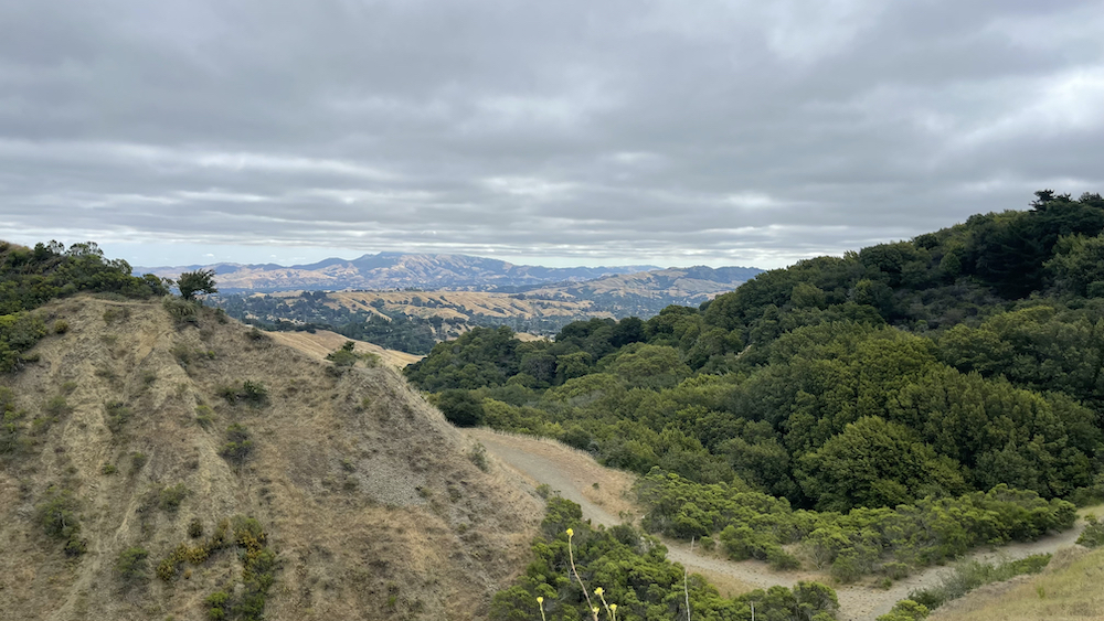
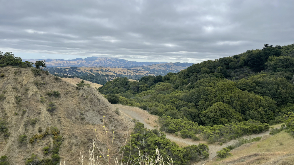
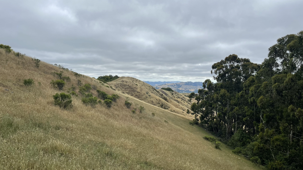
Robert Sibley Volcanic Regional Preserve is located in the Oakland Hills of the East Bay region of the San Francisco Bay Area, California. The park is part of the East Bay Regional Parks District (EBRPD), covers 928 acres (3.76 km2), and lies east of Oakland, partly in Alameda County and partly in Contra Costa County. It can be entered from Oakland via Skyline Boulevard, or from Contra Costa County via Old Tunnel Road. The park was one of the first three parks established by the East Bay Regional Parks District (EBRPD) in 1936. It was originally named Round Top Regional Park. Round Top (elevation 1,761 feet [537 m]) is named for an extinct volcano in the Oakland Hills which started to erupt 10.2 Million years ago. It is home to at least two stone labyrinths of recent origin. The park was renamed after the second president of the EBRPD, Robert Sibley, shortly after his death. U.C. Berkeley Professor Emeritus Garniss Curtis studied the Sibley Regional Preserve extensively, dating the volcano to be 10.2 million years old. Since 10.2 million years ago, the Pacific tectonic plate has slowly pushed the volcano north.
.
+++


반응형